- Cycle-friendly streets with Cr Hammond
- Lytton Road, Morningside
- Floppy bollards to the rescue
- Forget fossil fuel
- Centenary Bridge
- Veloway progress
- Updates from the southern suburbs
- Transit Oriented Development at Buranda
- Traffic changes in the CBD
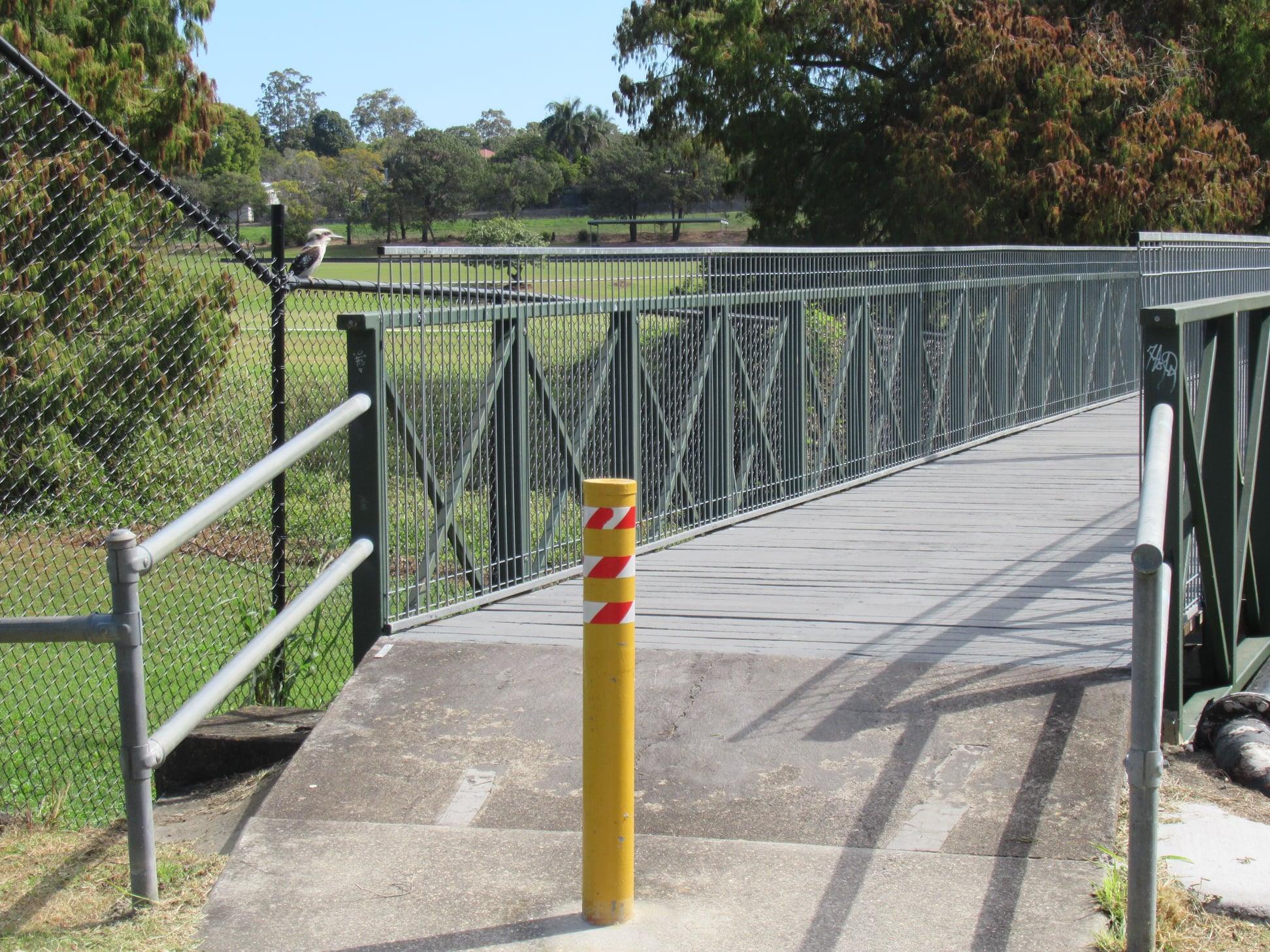
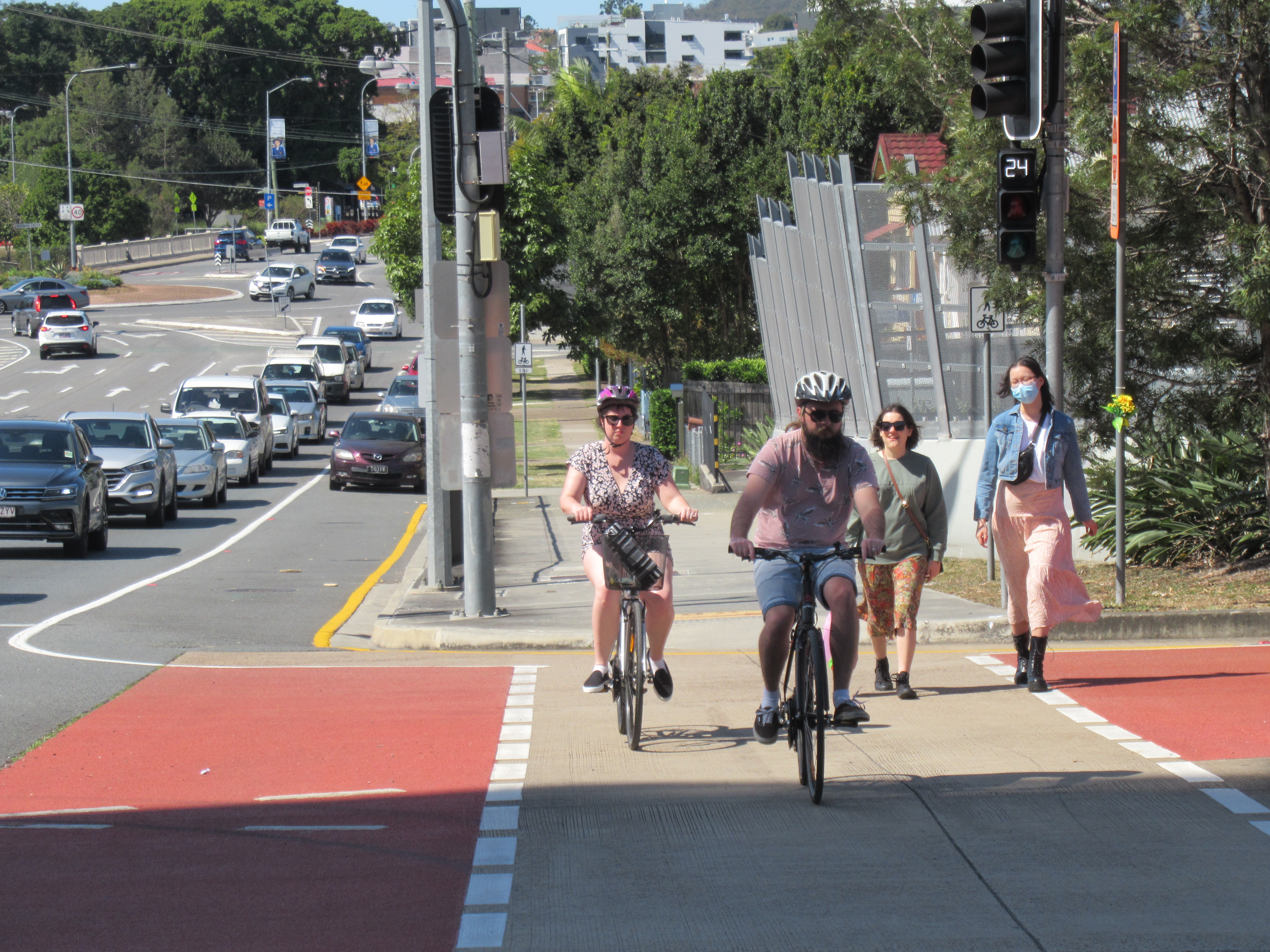
Cycle-friendly streets with Cr Hammond
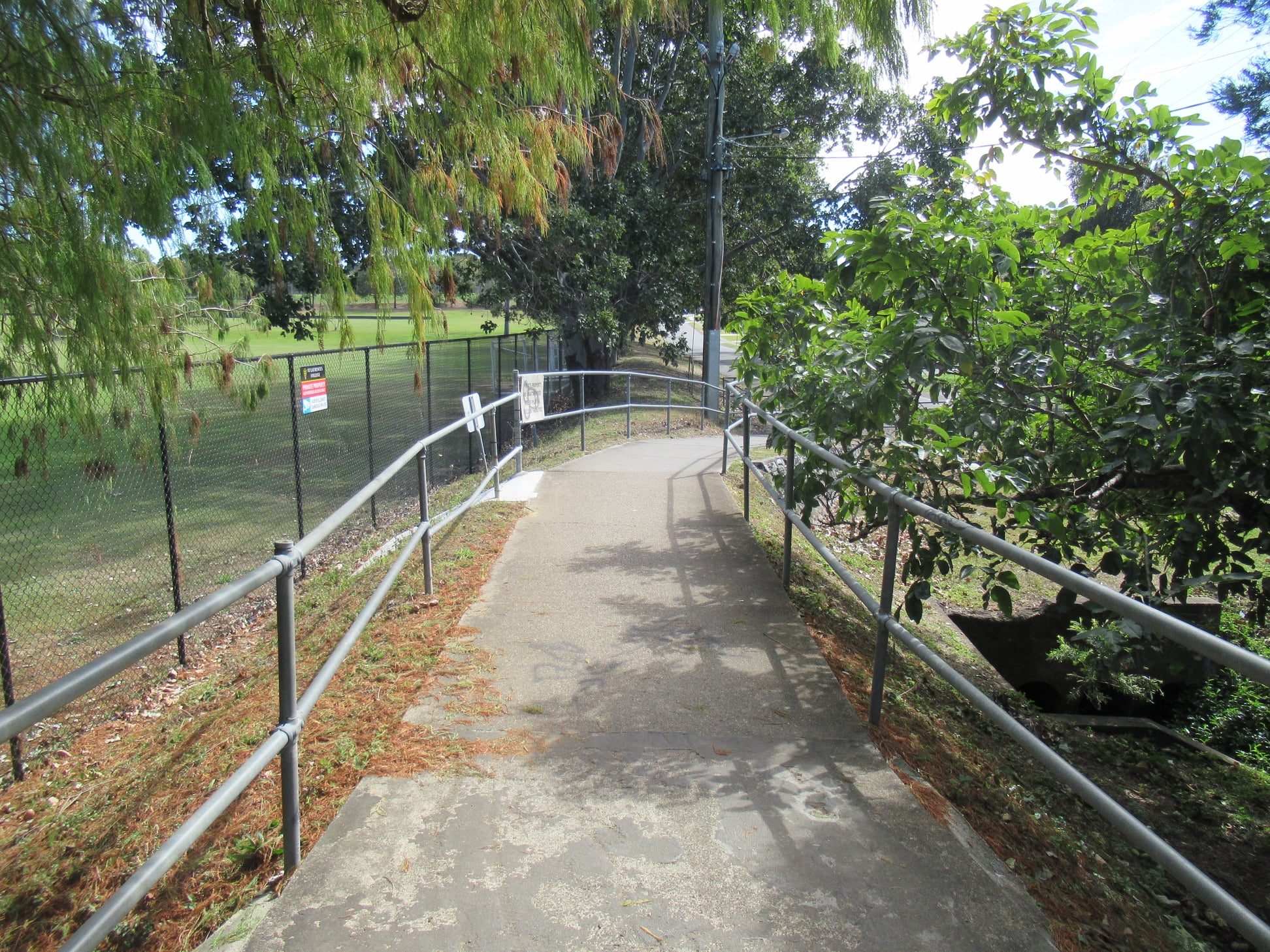
After a few delays due to COVID, Andrew was finally was able to go for a ride with Councillor Fiona Hammond on the North Brisbane Bikeway at Aspley. This section involves use of a cycle street concept where traffic calming is used to slow and limit motor vehicle traffic so the street feels safe and comfortable to ride on.
Cr Hammond had admitted in Council earlier in the week that she would not normally be happy to ride on the road. That’s typical of the largest group in the population; people researchers categorise as “interested but concerned”. They can physically ride a bike, might have one at home, and would like to ride more – but not if it means mixing with fast moving motor vehicles.
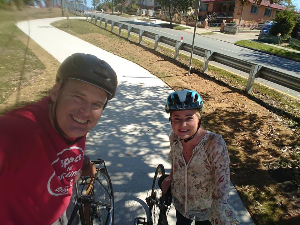
Creating new connections to local streets, and implementing traffic calming such as here on the Gympie Road Service Road is a quick way to create a cycling network that more people can feel confident to ride.
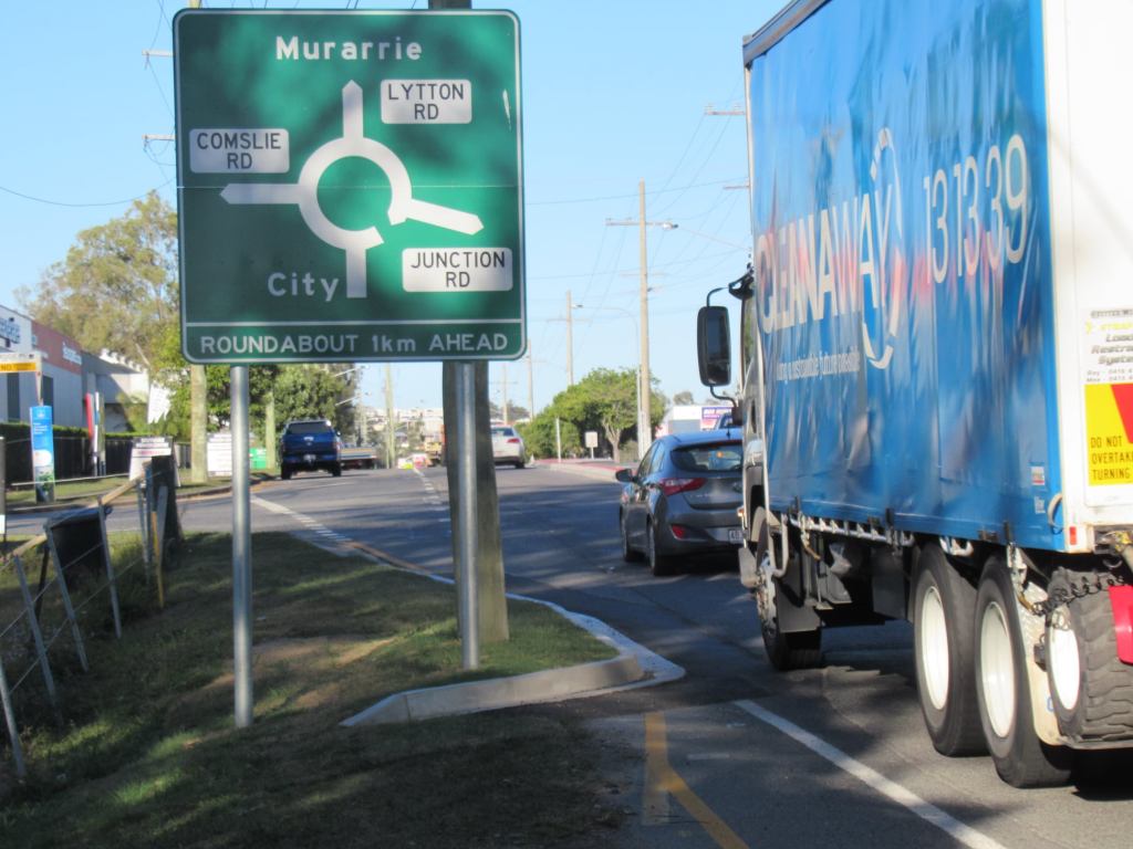
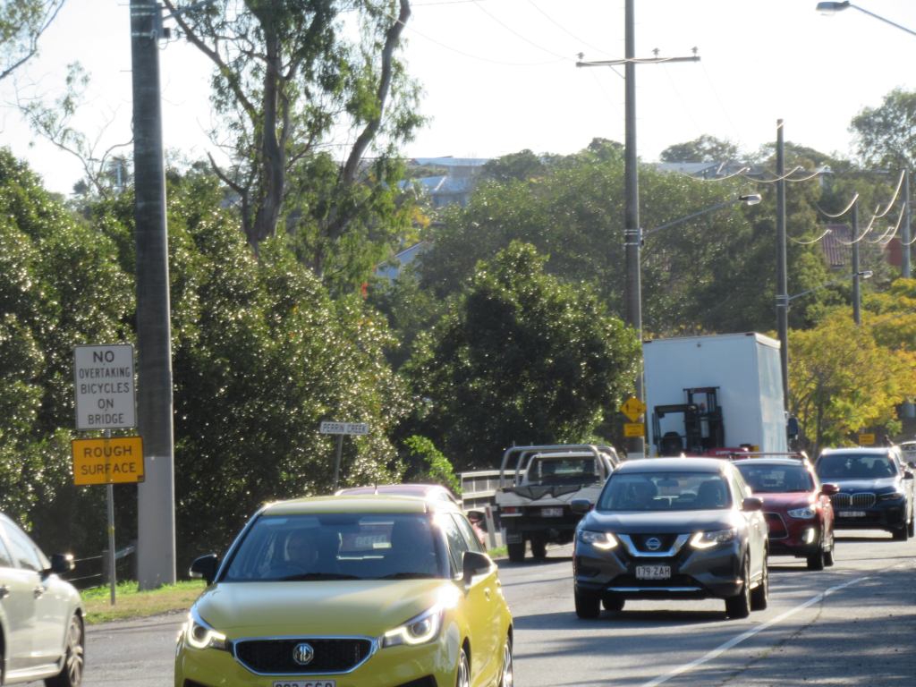
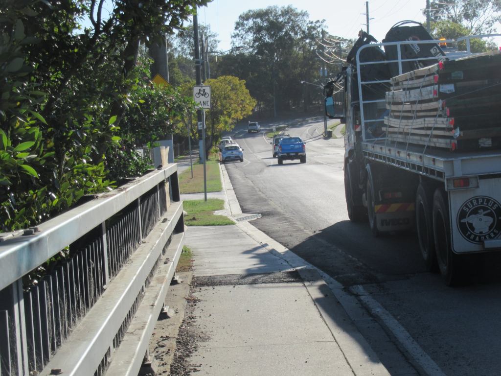
Lytton Road, Morningside
Speaking of roads that don’t feel safe to cycle on: this week Council’s Infrastructure Committee voted to dismiss a petition with 600 signatures from East BUG asking for improvements to Lytton Road, Morningside to make it safe for all road users.
The briefing notes recommended against urgently upgrading the intersection with Thynne Road; against providing a safe active travel connection across Perrin Creek; and against facilities to allow people to cross the road in front of Balmoral State High School, or to reach retail businesses around the Fish Factory, or near McDonalds.
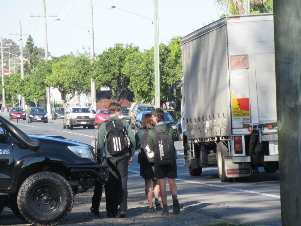

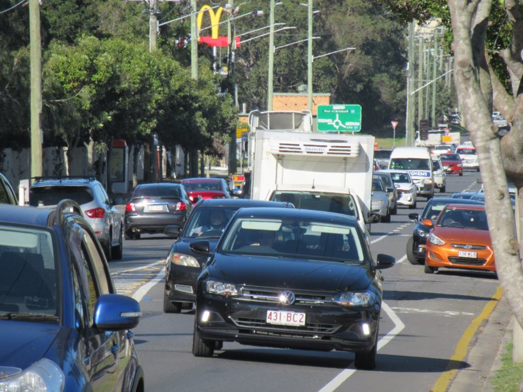
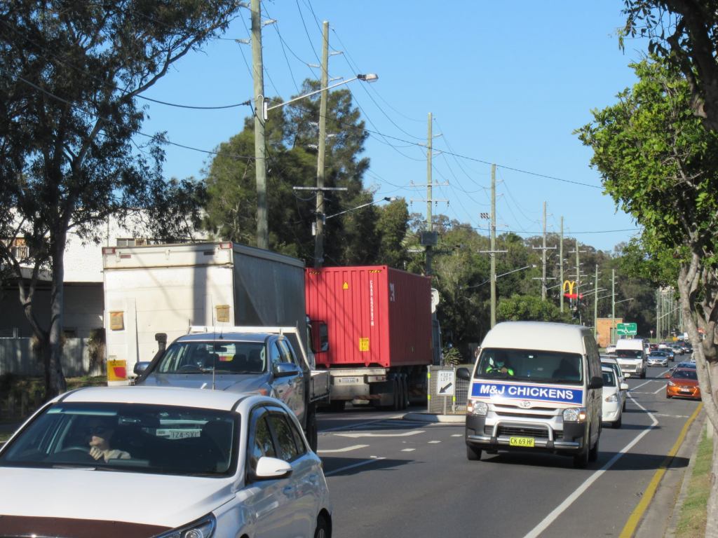

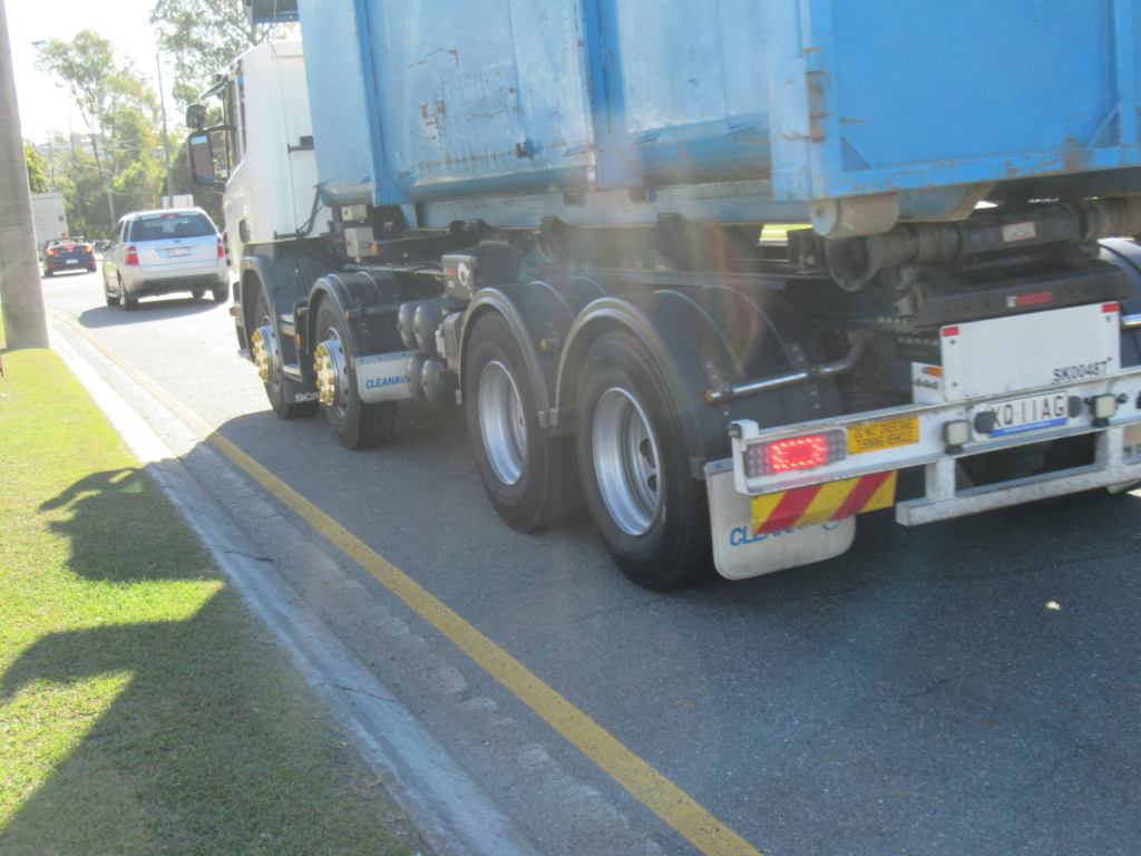
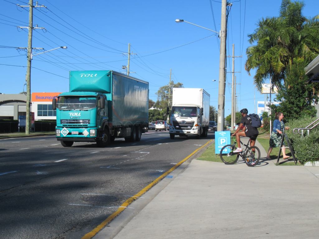
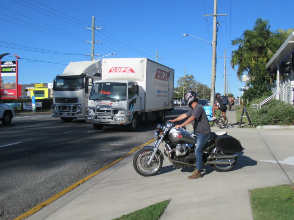
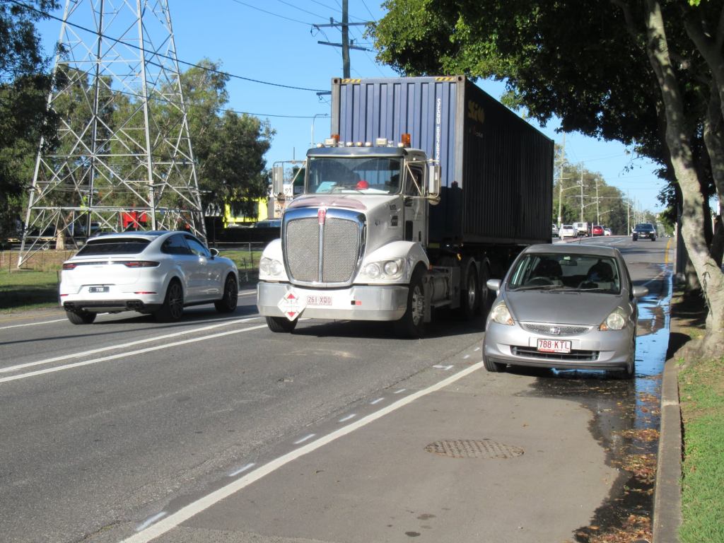
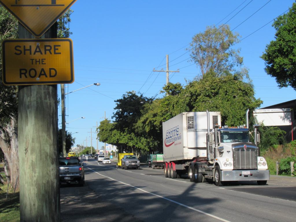
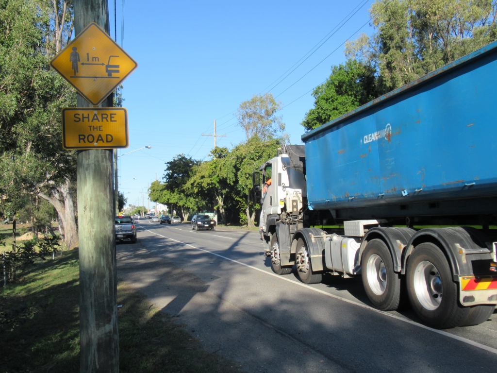


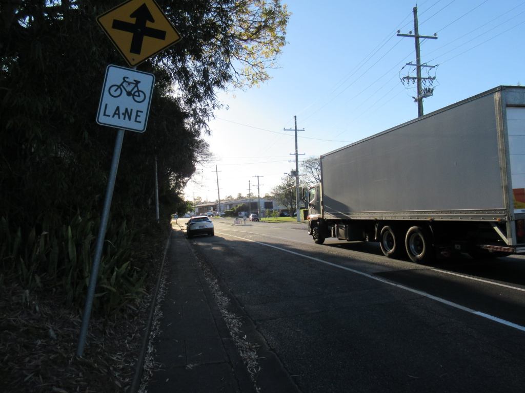
Their message to people who use this “principal cycle route” to get to work will be: we don’t care about your safety; you need to “share the road” in front of SUVs and container trucks—whose drivers struggle to find a gap to turn in and out of the premises along this busy freight access route.
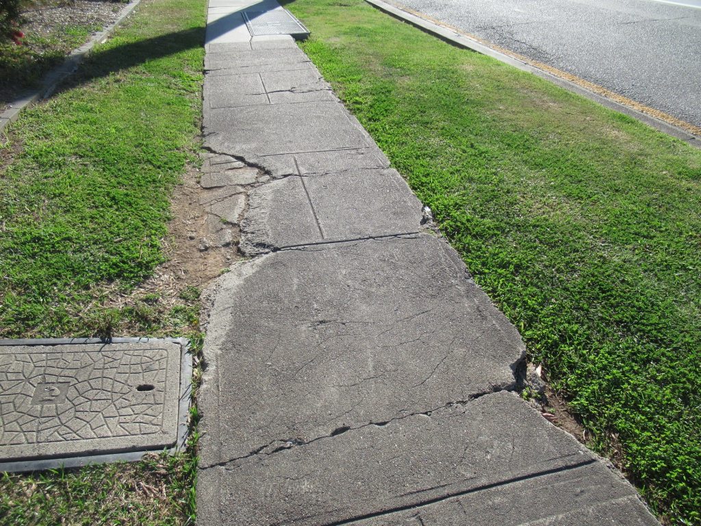
For children who might want to walk or cycle to Balmoral State High School, or Cannon Hill Anglican College, or to the Colmslie Swimming Pool or sports facilities at Colmslie Recreation Reserve: you get to bump along the sections of narrow, lifted, and broken footpath on the southern side of the road—at least as far as Thynne Road where even that path vanishes. If you want to cross, be prepared to wait a long time, and run when a gap finally appears.
If the local councillor wishes to provide a connected footpath to complete all the missing sections, that would require the entire Morningside Ward budget for footpaths and park upgrades for many years.
We know Morningside Ward Councillor, Cr Kara Cook, does not support the response that the committee recommended, but unfortunately it is the Lord Mayor and his team who decide how the budget is distributed.
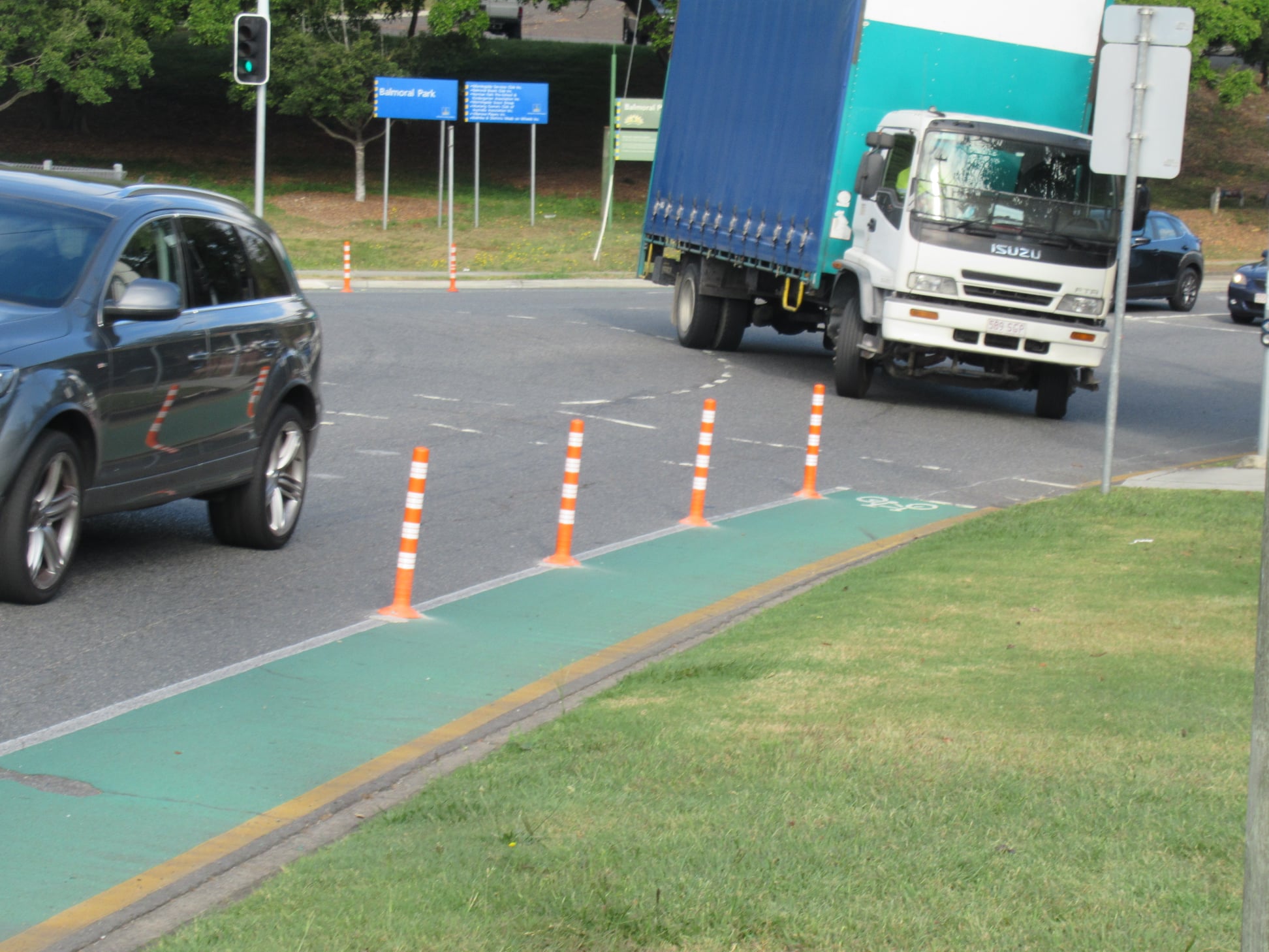
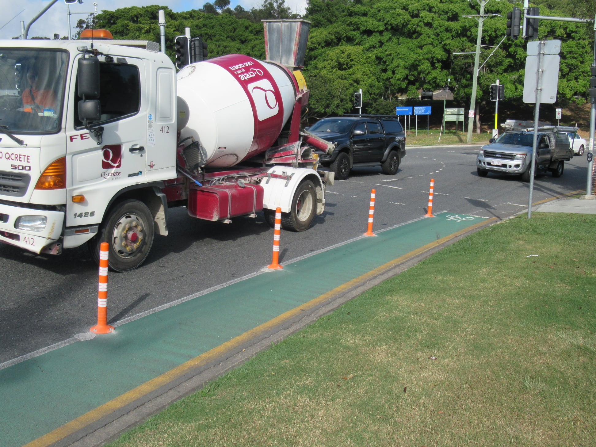
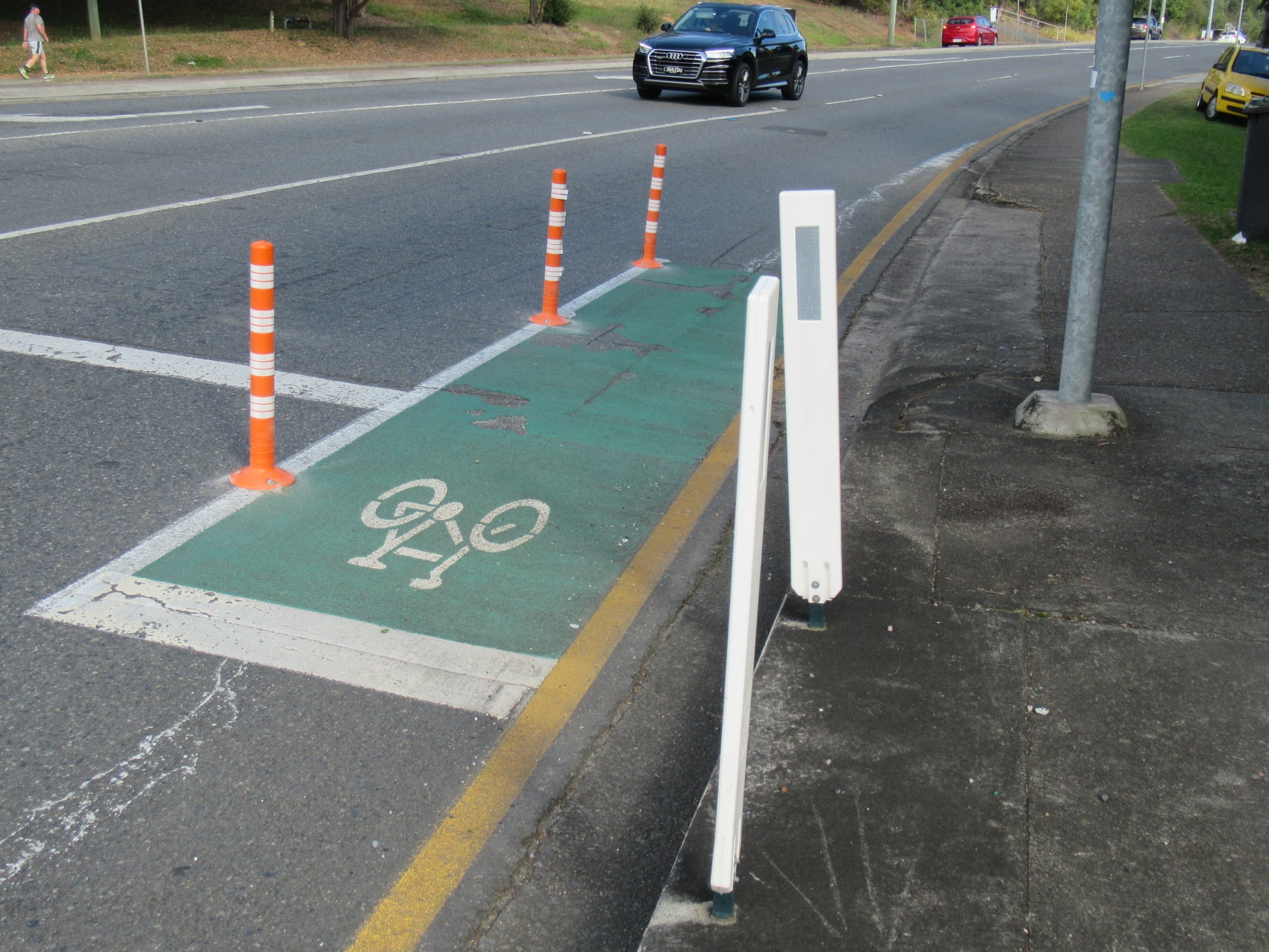
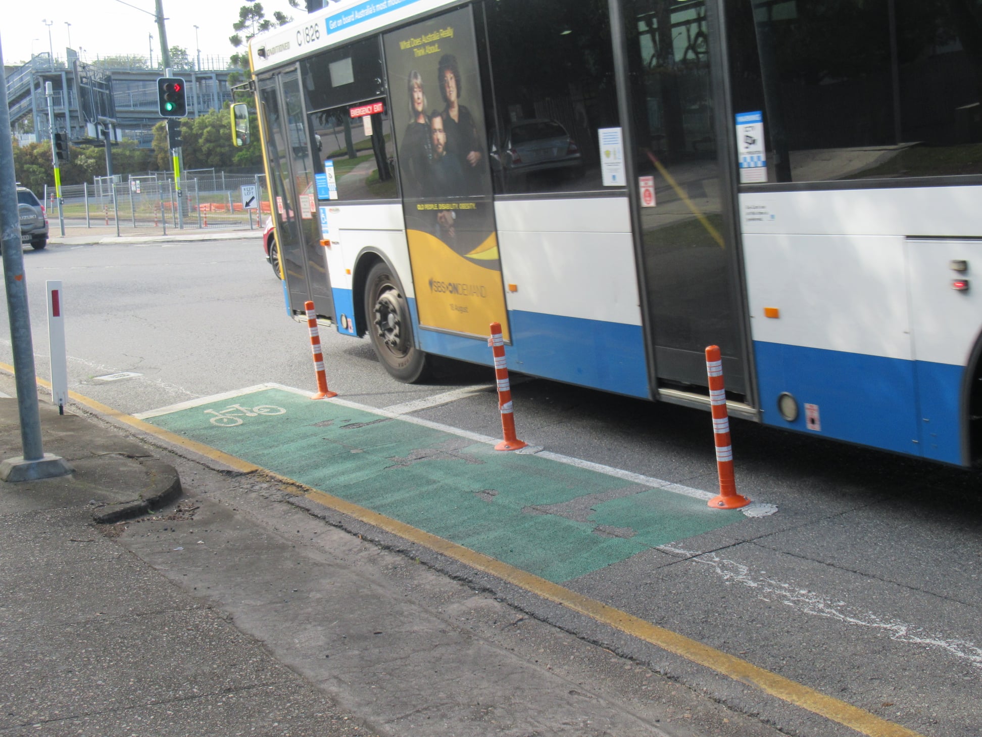
Floppy bollards to the rescue
Perhaps some bollards will fix it??
The floppy sentinels ‘protecting’ the itty bitty bike lanes on Wynnum Rd, Morningside either side of the Jack Flynn Memorial Drive intersection were replaced late last week.
What’s your guess on the half-life of these?

Forget fossil fuel
On a brighter note, Sam and Ben recently checked out the new bike skills track in Grinstead Park, Alderley. It was packed full of kids on a Wednesday afternoon enjoying a fun and interactive track dedicated to riding, with signage and intersections resembling public roads. A great facility.

But Sam was amused and somewhat nonplussed to find the addition of a toy petrol bowser for kids to ‘fuel’ their bikes with. With any luck kids born today will never even know what one of these is. Perhaps a toy fruit stall, a bike repair stand, or charging station next time Brisbane City Council? Pretending to be a grown up by way of having a “real” fossil-burning vehicle feels a little… uninspiring 💁♂️
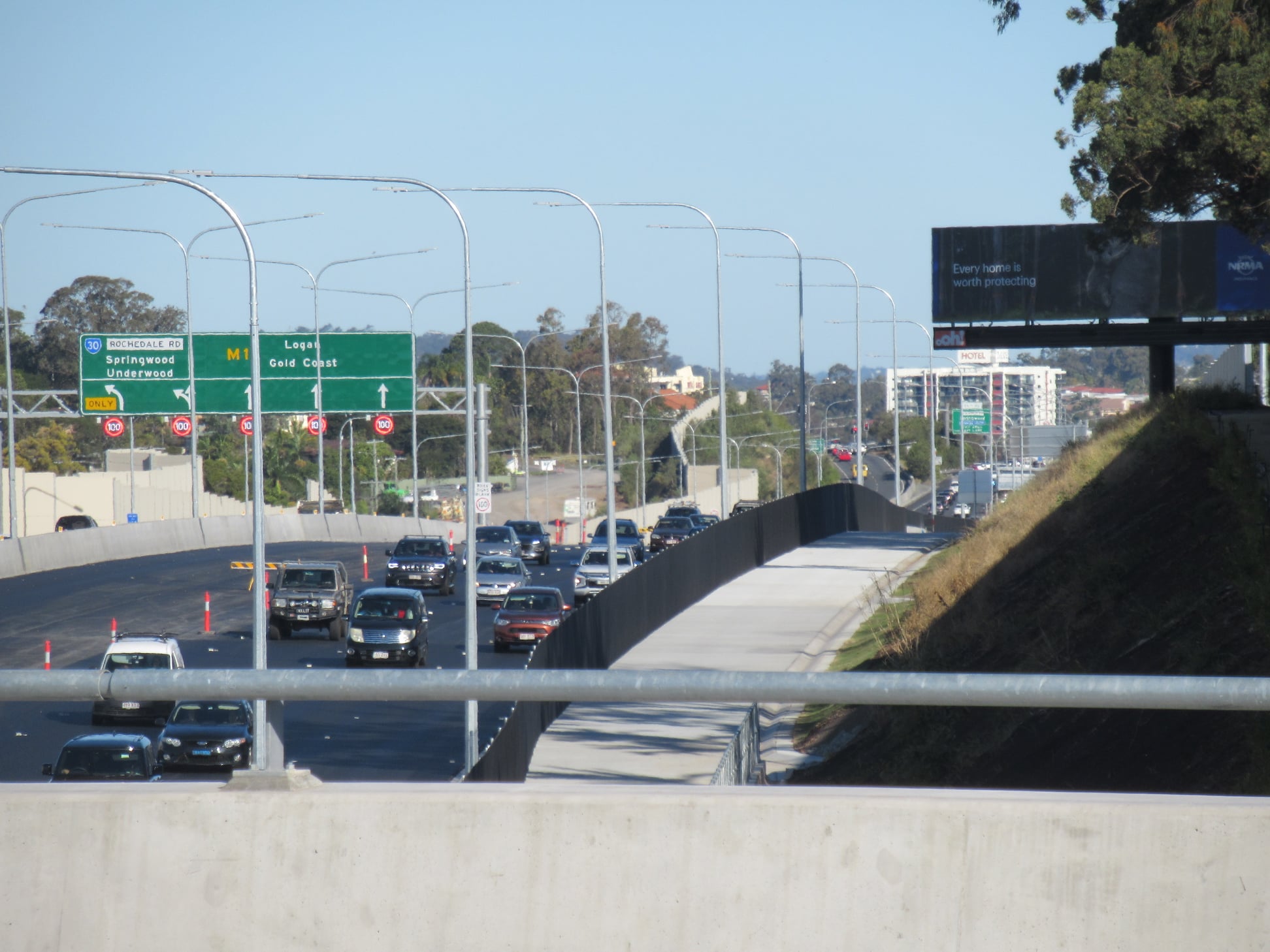
Centenary Bridge
Community consultation is now open for the Centenary Bridge duplication project at Jindalee. The $244 million project plans to deliver a second 3-lane road bridge across the Brisbane River at Jindalee, taking on all north bound traffic.
The existing bridge will be converted to a 3-lane southbound road bridge with a 5.5m wide active transport path on the eastern side, replacing the existing narrow shared path.
The project will also upgrade the shared path and cycleway from the bridge to Sinnamon Road, and towards Amazons Place. TMR has confirmed that these will all accommodate a separately marked 3m wide cycleway and 2m wide pedestrian path.

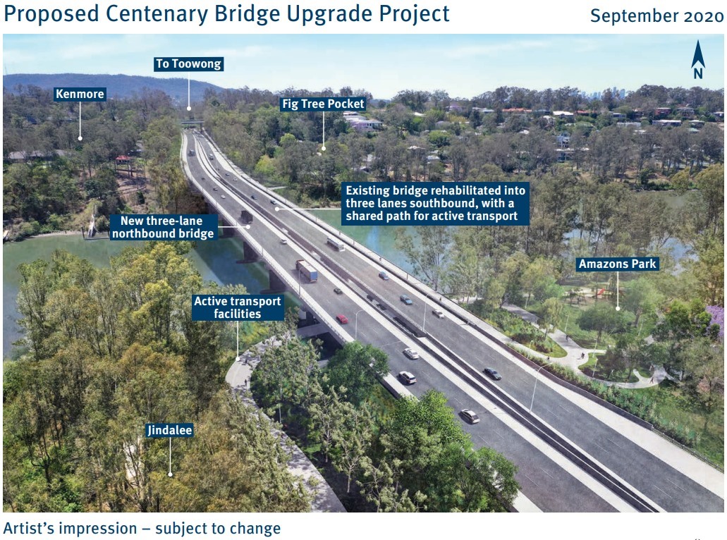
The project summary states that the expected number of car trips over this bridge will grow from 85,000 in 2020 to 152,000 by 2036. The obvious thought to us is how would you go about reducing car trips so that doesn’t happen?
Afterall, we had a code red for humanity about climate change last week, and it’s fair to say if the numbers predicted happen, we will have failed to respond to the climate crisis. It’s hard to see how adding more general traffic lanes without providing priority for public transport will change the predicted outcome significantly.
However, we think the active transport improvements in this project are well worth supporting, and encourage you to pass on your support for these elements of the project.
There are public consultation sessions being held at the following dates and times:
Thursday the 9th of September 2021
👉🏼2:30-4:00pm Middle Park Shops outside Coles/Peter Kolb
👉🏼5:00 – 7:00pm Mount Ommaney Centre – Outside coffee club
Saturday the 11th of September 2021
👉🏼9:00-10:00am Jindalee Coles – Catalina Coffee
👉🏼11:00am – 12:00pm Mount Ommaney Centre – Outside coffee club
Consultation closes on 19th September, and if you can’t attend any of these in person sessions you can email the project team from the link on the project page.
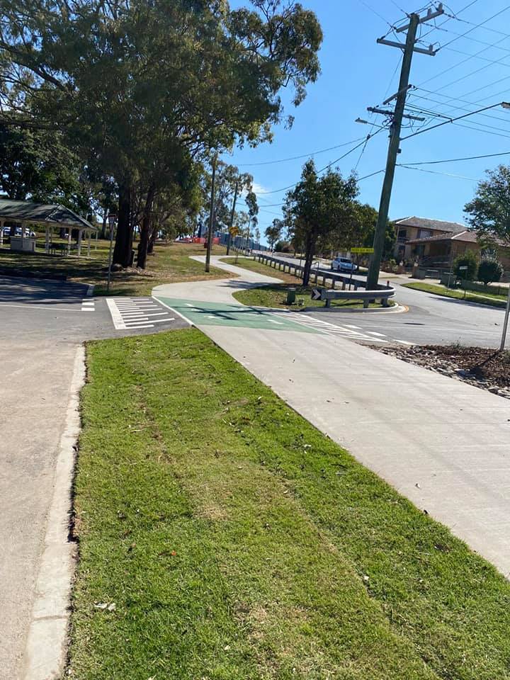
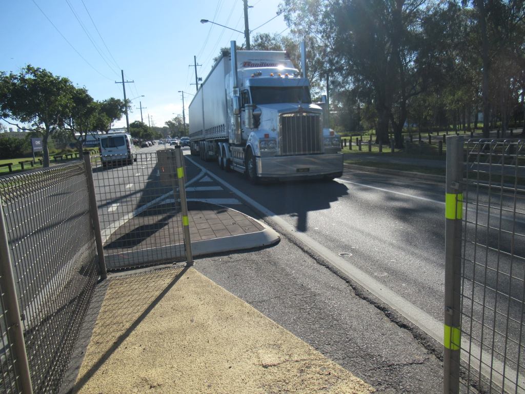
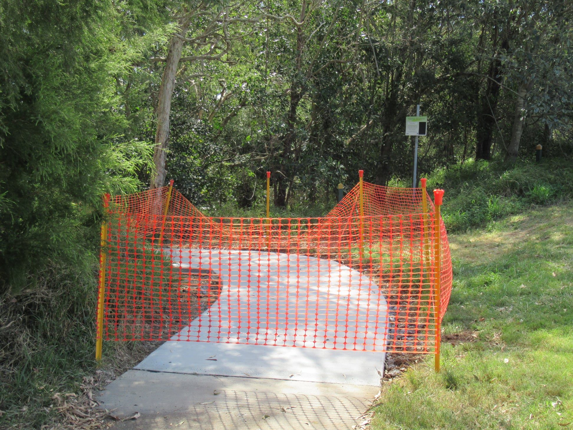
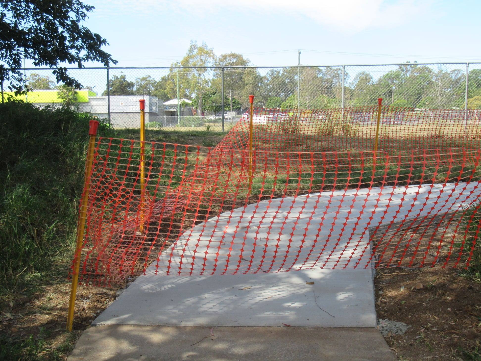
Veloway progress
This half-open gate was tempting on the weekend. Very tempting… The Veloway extension south from Eight Mile Plains—including the connection to Underwood Road—looks like it’s almost ready to ride. How exciting!


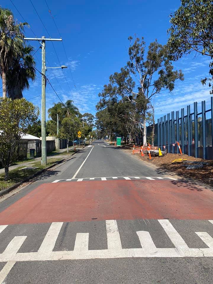
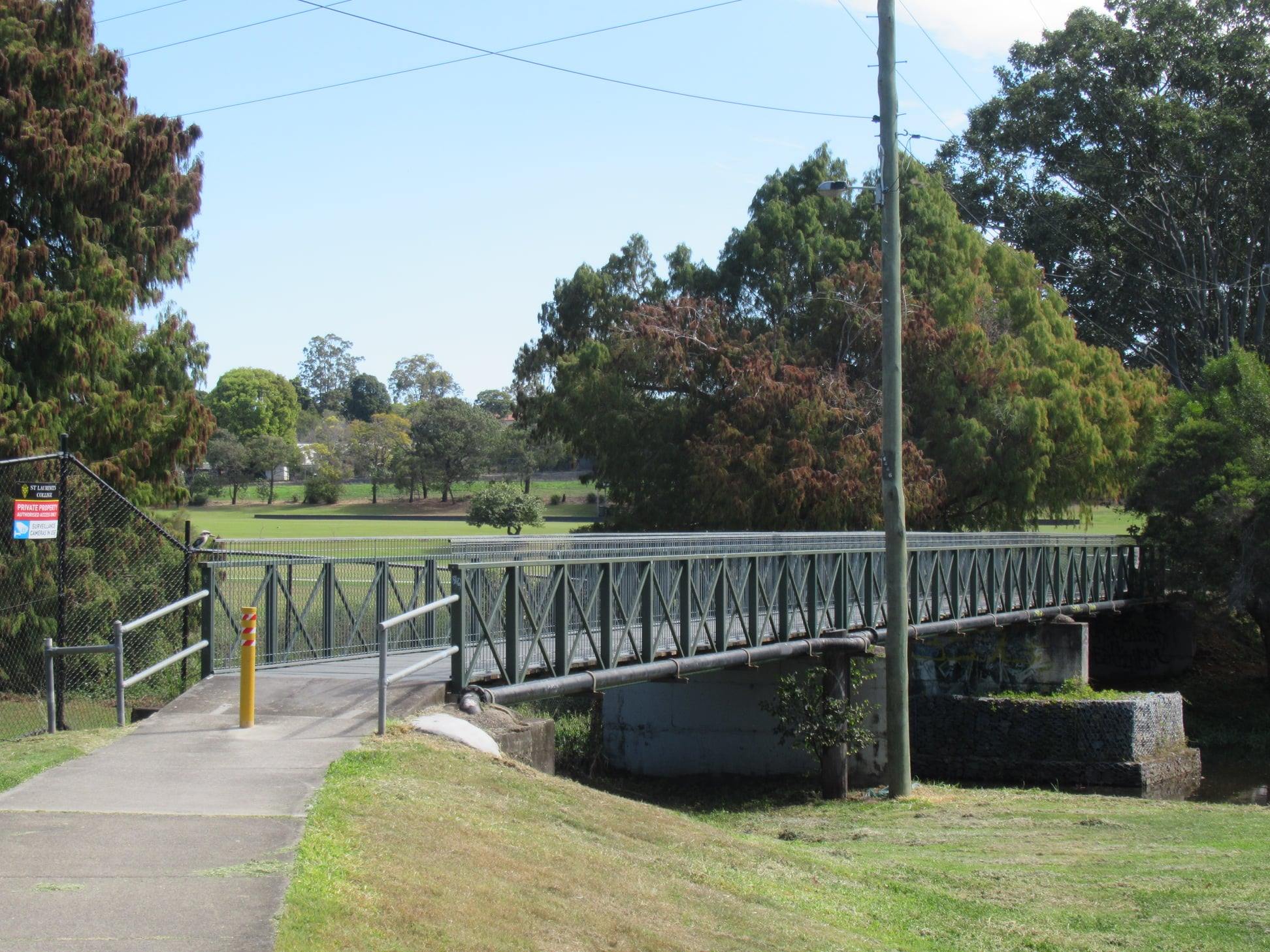
Updates from the southern suburbs
It’s good to see repairs underway on the path behind Wakerley Park, Runcorn. (This connects from the corner of Dew St and Nathan Rd to Bonemill Drive opposite the Runcorn Pool). There were no warning signs at the end of the path though, and no detour provided. Hopefully the work will be completed very soon; this path certainly needed some love.

Still in the southern suburbs: Council’s budget for 2018-19 and 2019-20 included $622,000 under “Constructing Key Bikeway Links in Brisbane Suburbs” for Coultis St, Sunnybank. We had assumed that was for improving links to the bridge at the end of Atlandi St (across to Nathan Rd). But there’s no evidence of any recent work on the bikeway here, so we’re not sure what was planned or why it didn’t proceed.
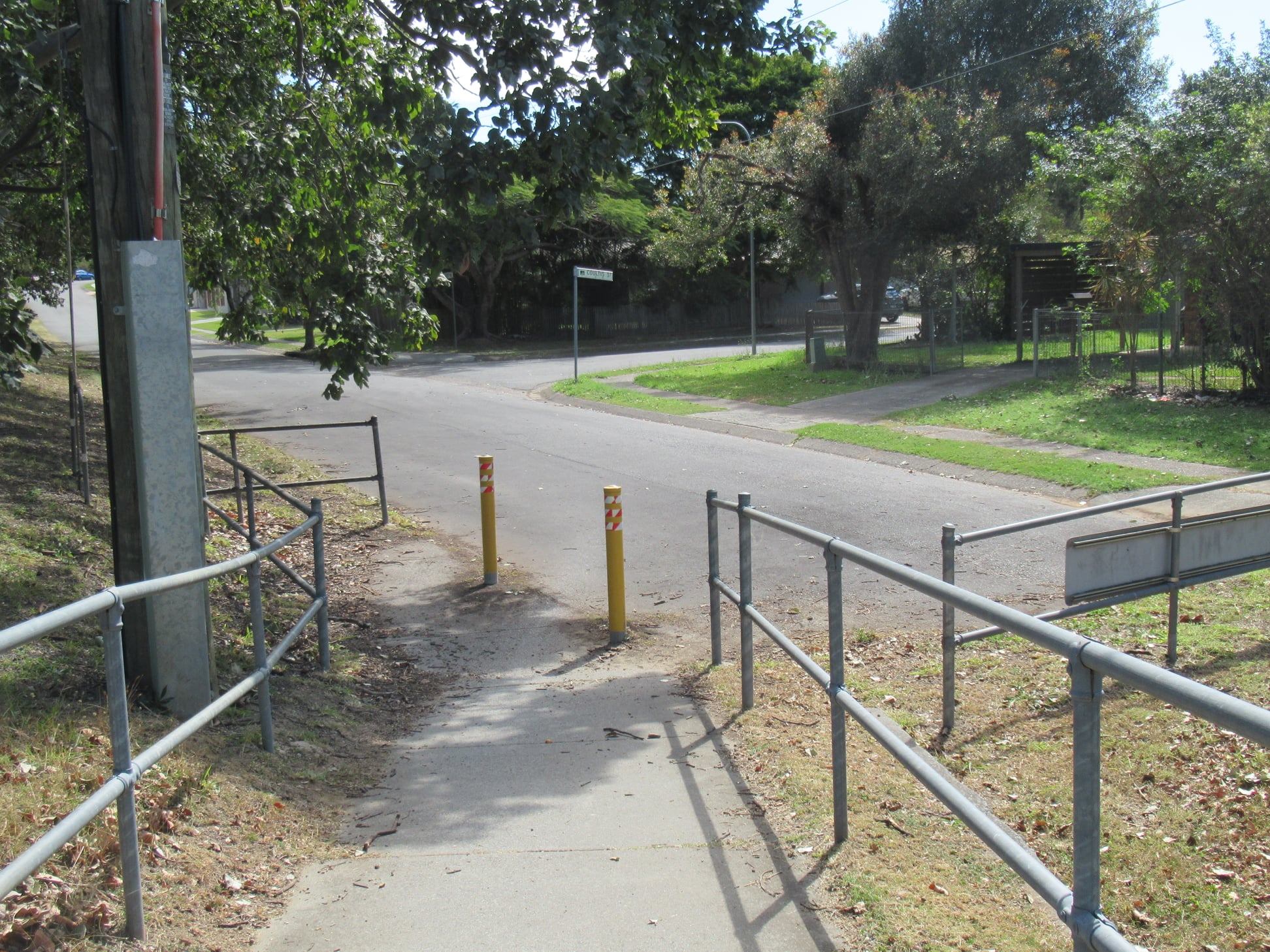
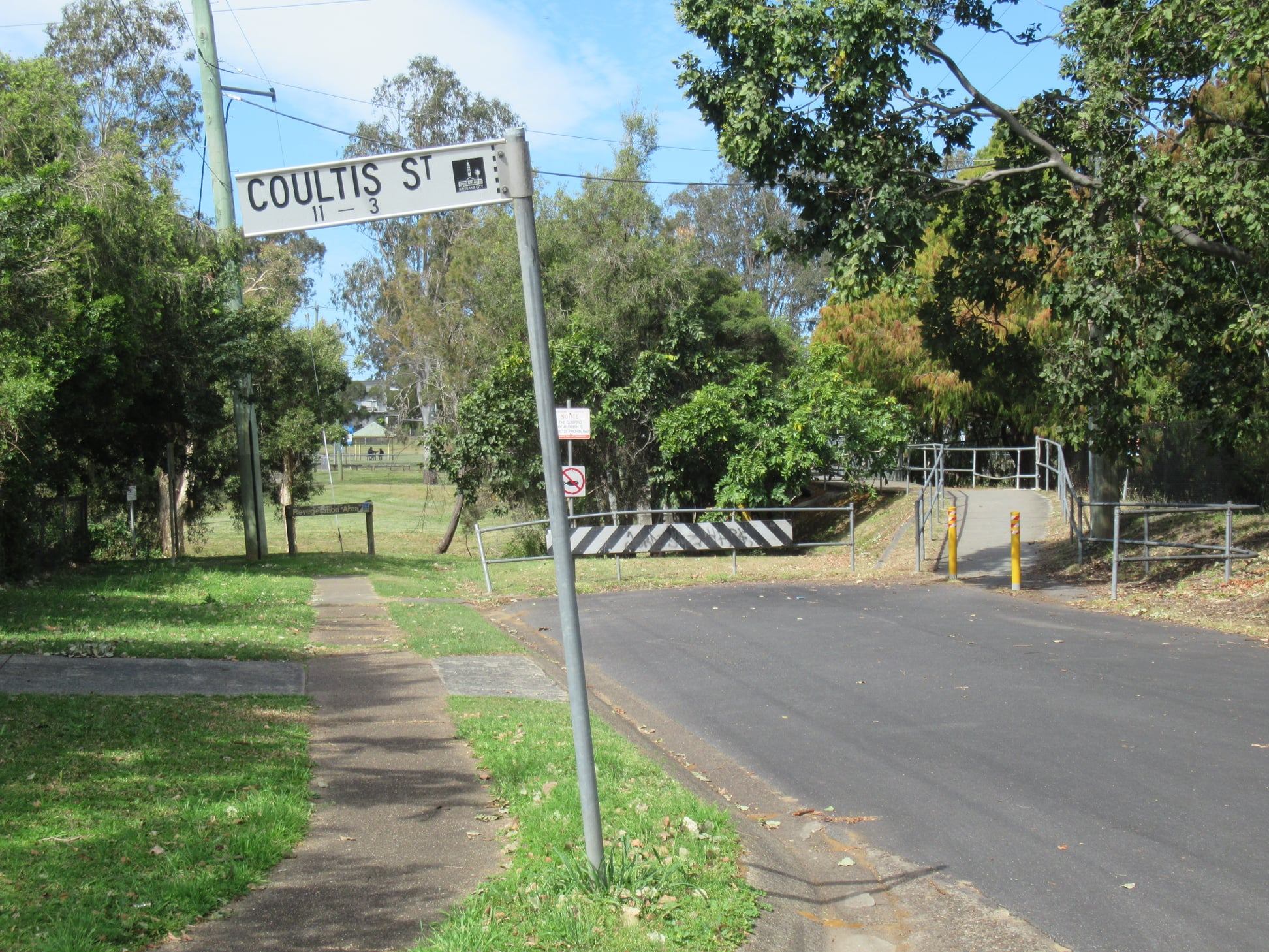
(Of course we’re shy of suggesting the bridge could do with an upgrade in case Council decide to remove it and replace it with something narrower, like they did at Geebung.)
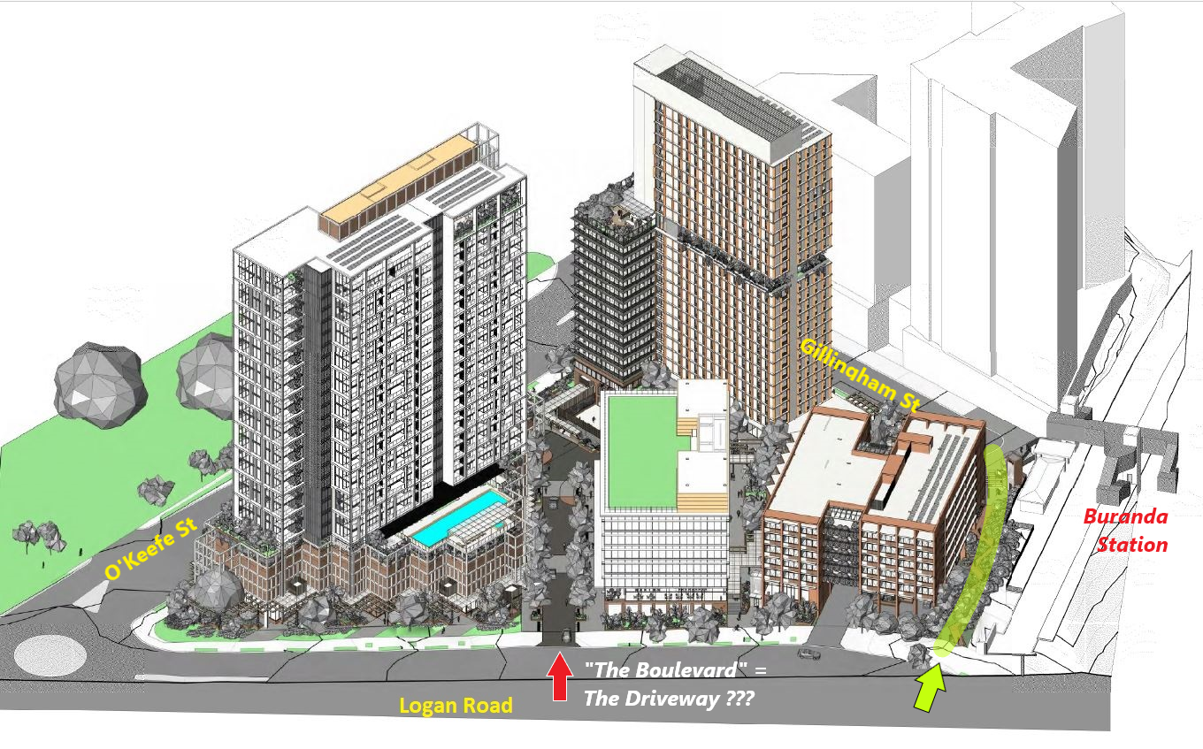
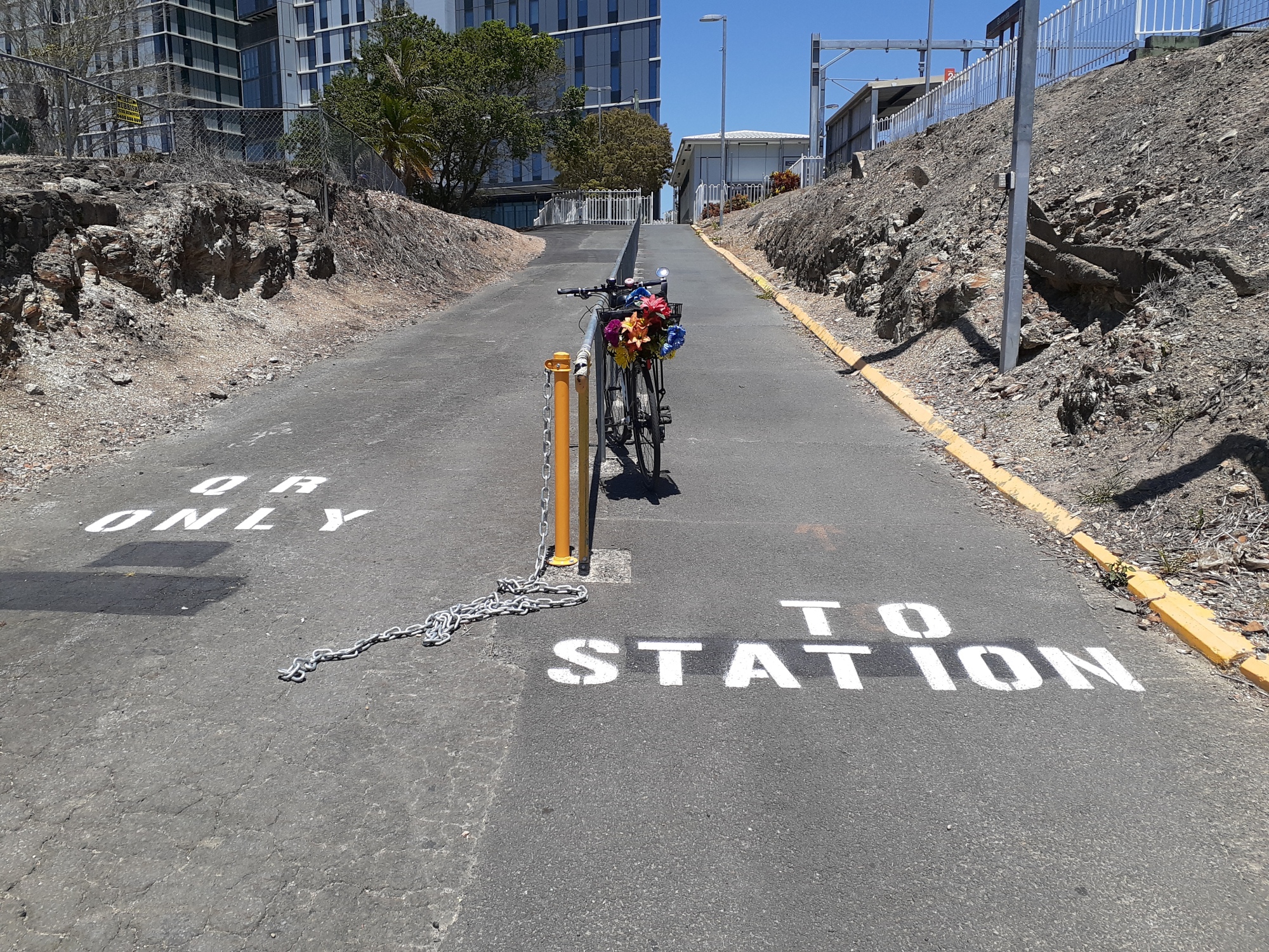
Transit Oriented Development at Buranda
A new development application has recently been submitted for a “Transit Oriented Development” in the area of Woolloongabba bounded by Logan Road, O’Keefe St, Gillingham St, and the railway line at Buranda Station. We have some serious concerns about:
- the modelling and plans for the Logan Road and O’Keefe St intersection
- plans for the intersection of Gillingham St and O’Keefe St – the site of a recent tragedy that ended the life of cyclist Max McDowall
- the car-centric nature of the development itself, despite claims that it is “transit-oriented”
- the inclusion of land currently owned by the Queensland Government and zoned for “transport infrastructure” which should instead be used to improve active transport connectivity.
Read more in our latest blog post.
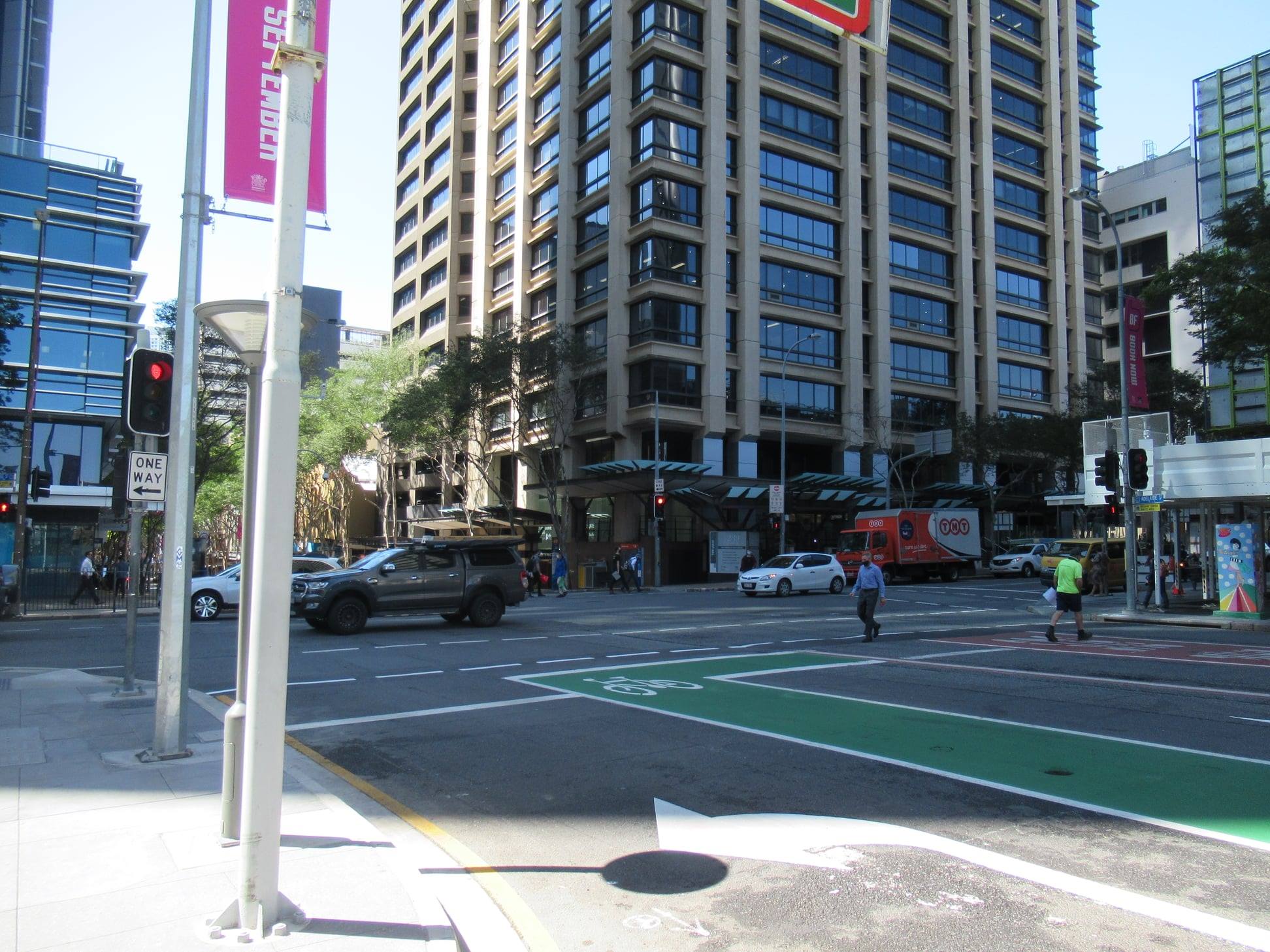
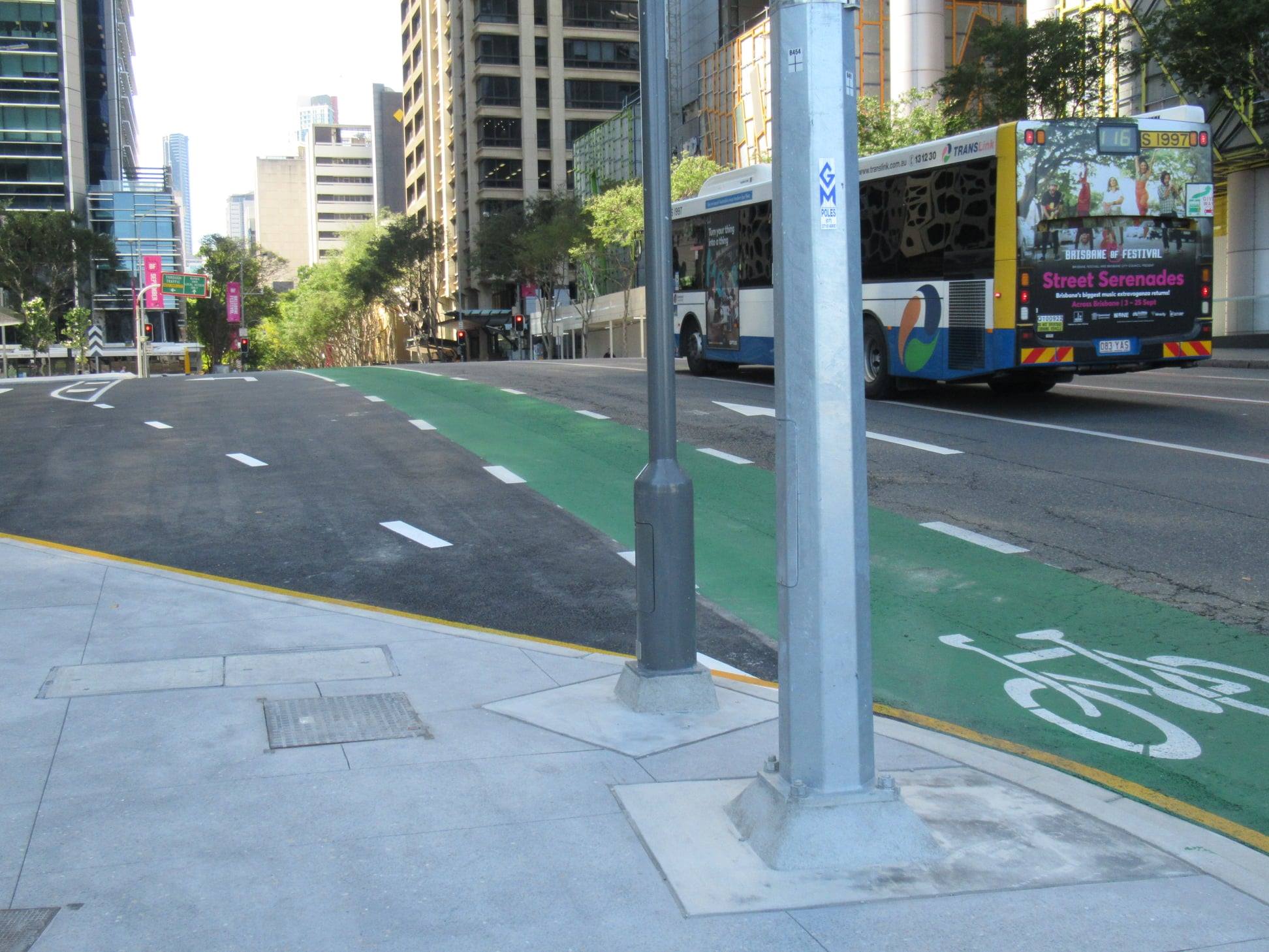
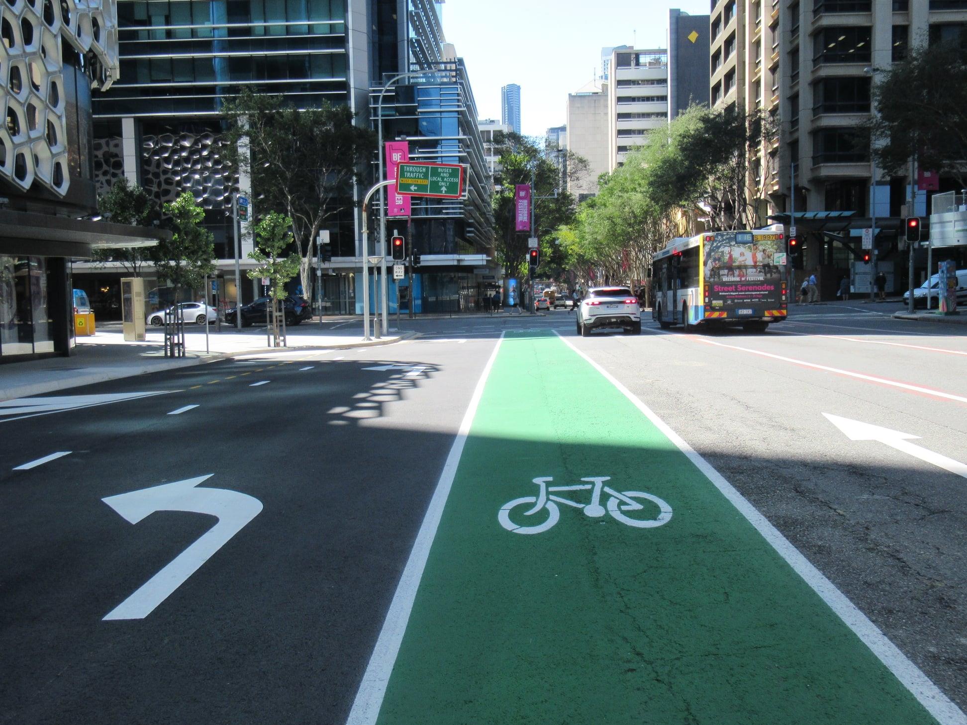
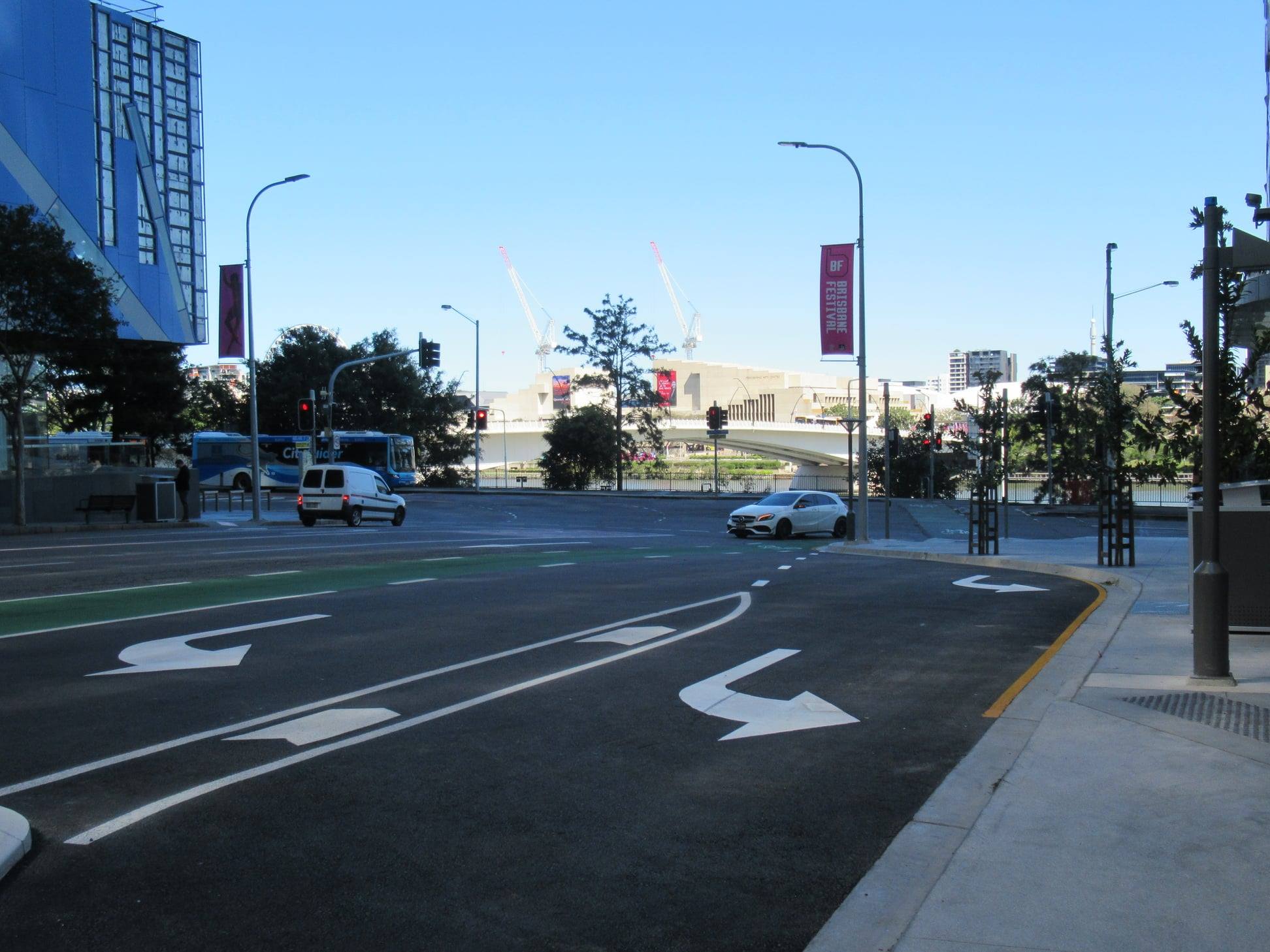
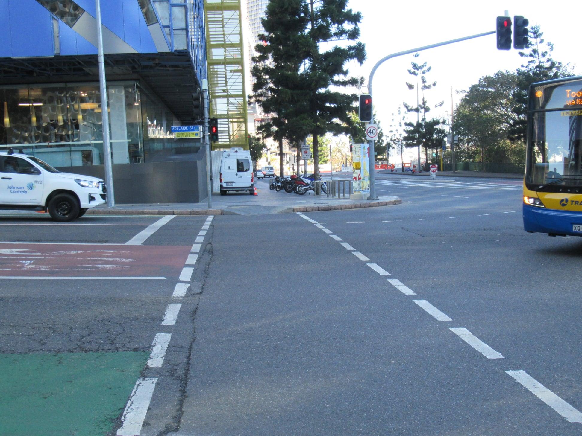
Traffic changes in the CBD
There will be some major changes to traffic in the CBD as work on the Brisbane Metro busway tunnel commences at the intersection of North Quay and Adelaide St. From 20 September, through vehicle access on North Quay will permanently close at Adelaide Street. The signalised pedestrian crossing across Adelaide Street at North Quay will also permanently close.
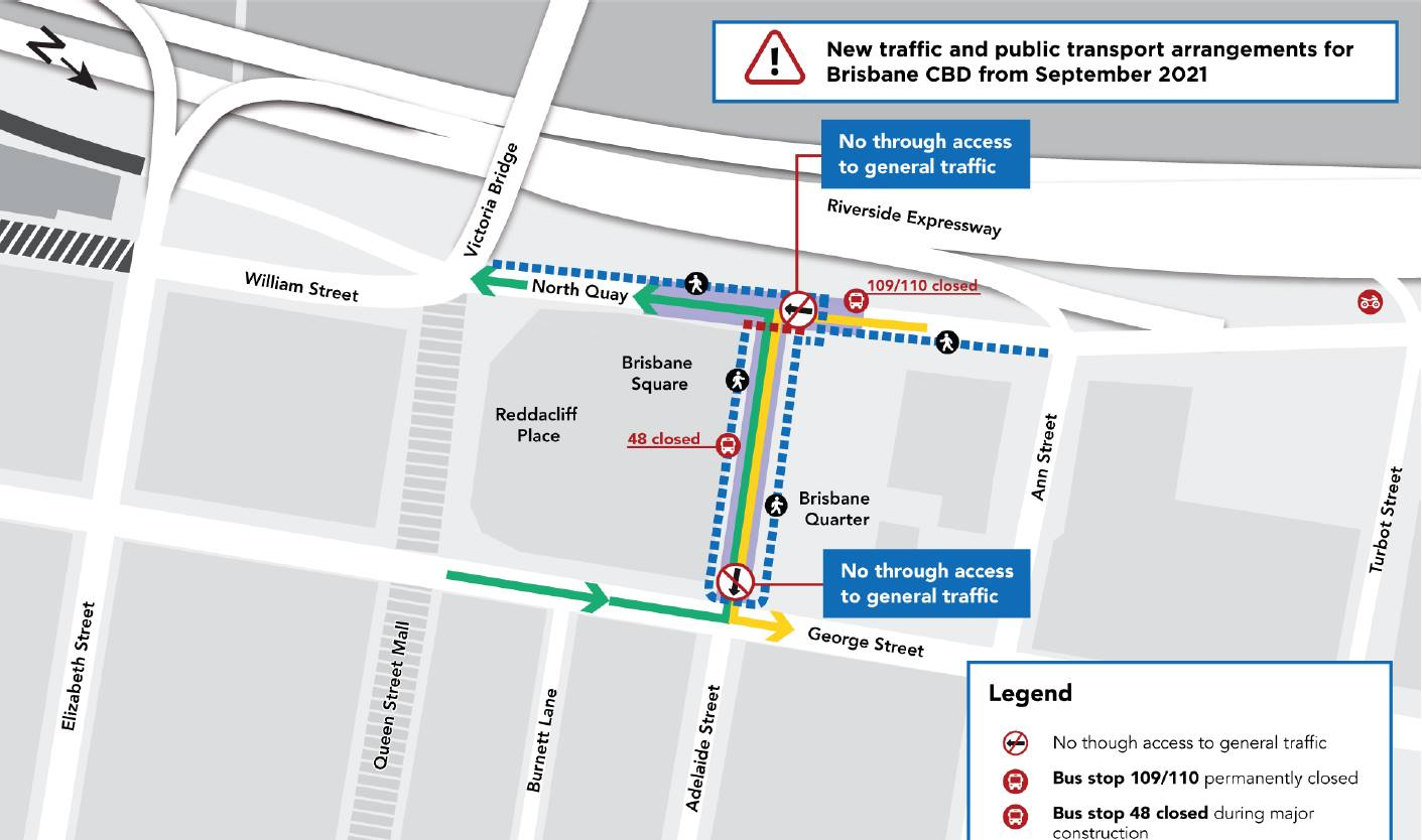
All general traffic will need to turn left from North Quay into Adelaide Street, and from there will only be able to turn left into George Street. Only buses and authorised vehicles will be able to continue eastbound on Adelaide Street. We are seeking to confirm that includes bicycles—which are allowed to use a bus lane unless specifically prohibited.
We’re not sure what this will mean for the large build-out on the corner of Adelaide St and North Quay opposite Brisbane Square, including the street trees only very recently planted there.
We’ve also confirmed that the nice new green bike lane will disappear, just weeks after it was first installed. Did you have chance to cycle in it??