- Facing the Climate Crisis
- Brisbane CBD
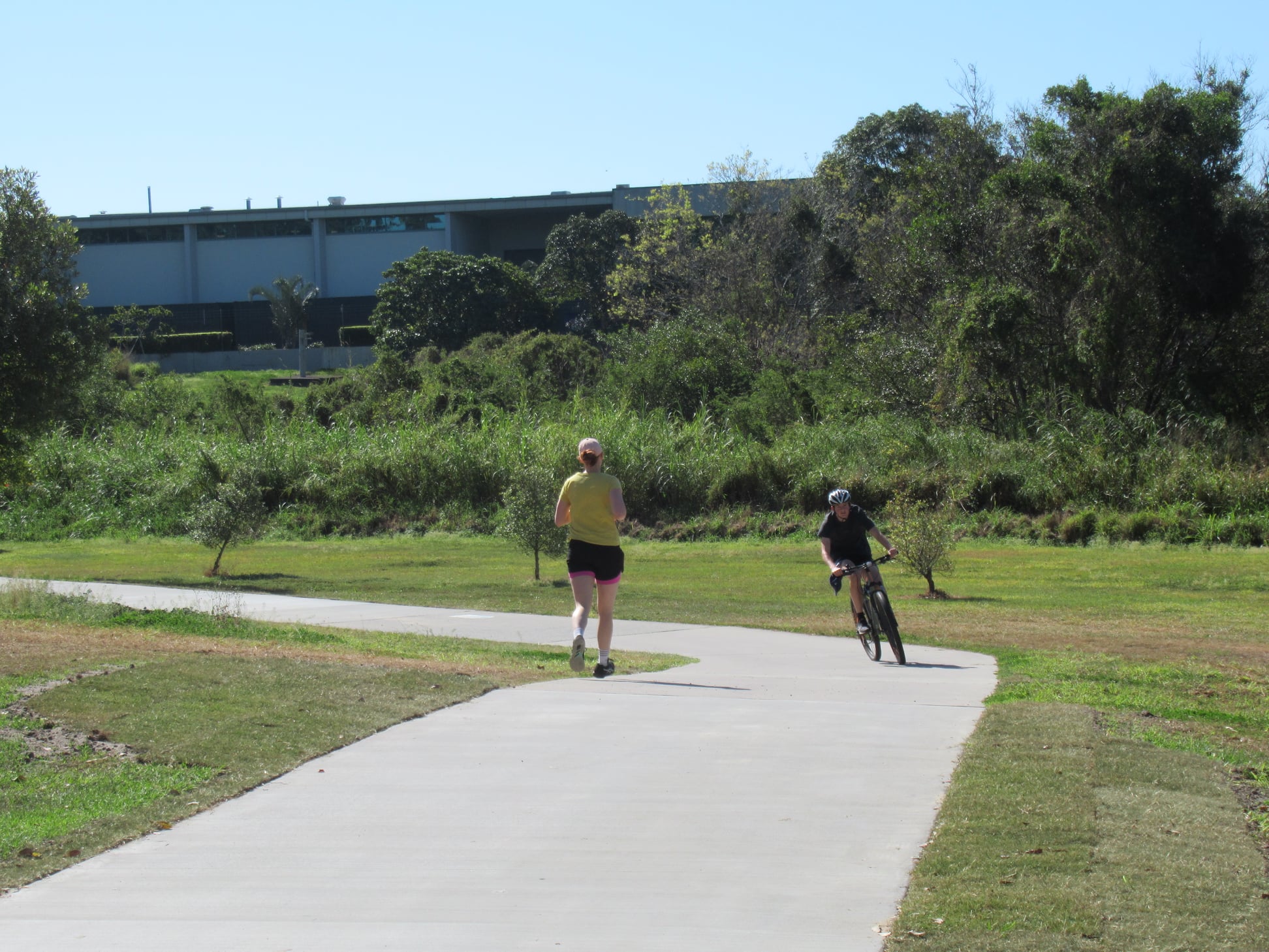
- North Brisbane Bikeway
- Chermside to Aspley Bikeway
- Brickyard Road Bridge
- Kedron Brook Bikeway
- Bridgeman Downs
- Kenmore
- Moreton Bay Cycleway
- Magpies
Facing the Climate Crisis
Two weeks after the Intergovernmental Panel on Climate Change sounded a Code Red for Humanity, we mustn’t kid ourselves that climate change is just another problem with unpopular solutions that we’ll muddle through as we always do.
Brisbane City Council patting themselves on the head for addressing climate change by making their own operations carbon-neutral* is like claiming they’re addressing homelessness by ensuring that every council employee has a desk.
Their goal should be to help the city be carbon neutral, not just running council business in a carbon-neutral way. They control important levers that determine what transport people adopt (eg. walking and cycling versus driving for short trips), as well as other planning and land-use decisions that determine the scale of the urban heat island effect, and whether people living in Brisbane have access to facilities to cope with heat and storms.
The recent IPCC Report on Climate Change makes it clear: this is a challenge for all of humanity. “The viability of our societies depends on leaders from government, business and civil society uniting behind policies, actions and investments that will limit temperature rise to 1.5 degrees Celsius.” We must act decisively, and act now.
[*Even that is only achieve by purchasing credits from overseas.]
You can read more about Brisbane City Council’s efforts to make their own operations carbon neutral on their website. To be clear: this is all commendable. Our point is that it is not enough for BCC to make their own operations net carbon neutral, their role (together with the state and federal governments) should be to help all residents and businesses in Brisbane dramatically reduce our carbon footprint. The bonus is that by taking those necessary steps, we will at the same time be creating a healthier and more liveable city.
In our sister city of Auckland, road transport modes are responsible for 35% of the city’s climate-altering emissions. This article makes the case that to reduce pressure on our roads and environment, drivers should face a charge that more closely reflects the actual cost of driving. That is, the cost of clogged roads, air pollution, climate change, injury and death. The additional revenue could then be invested in improving the public transport and expanding the network of cycleways. All of this would result in fewer cars on the road, faster travel times for everyone and less need for more expensive road building and maintenance. A win for the city and the planet.
In the UK, 6.7% of the working population is now commuting by bike, while the broader modal share appears to have hit 3%. That’s a sharp rise from previous years, which can partially be explained by people’s reluctance to return to public transport during the pandemic, but also because London and other major centres have invested heavily in protected cycleways on main roads, slower speeds on other streets, low traffic neighbourhoods, and discouraging driving into the city centre via congestion charging.
It’s also interesting to note during Queensland Road Safety Week, that the population-adjusted rate of deaths and serious injuries in the UK is less than one quarter of that in Australia.
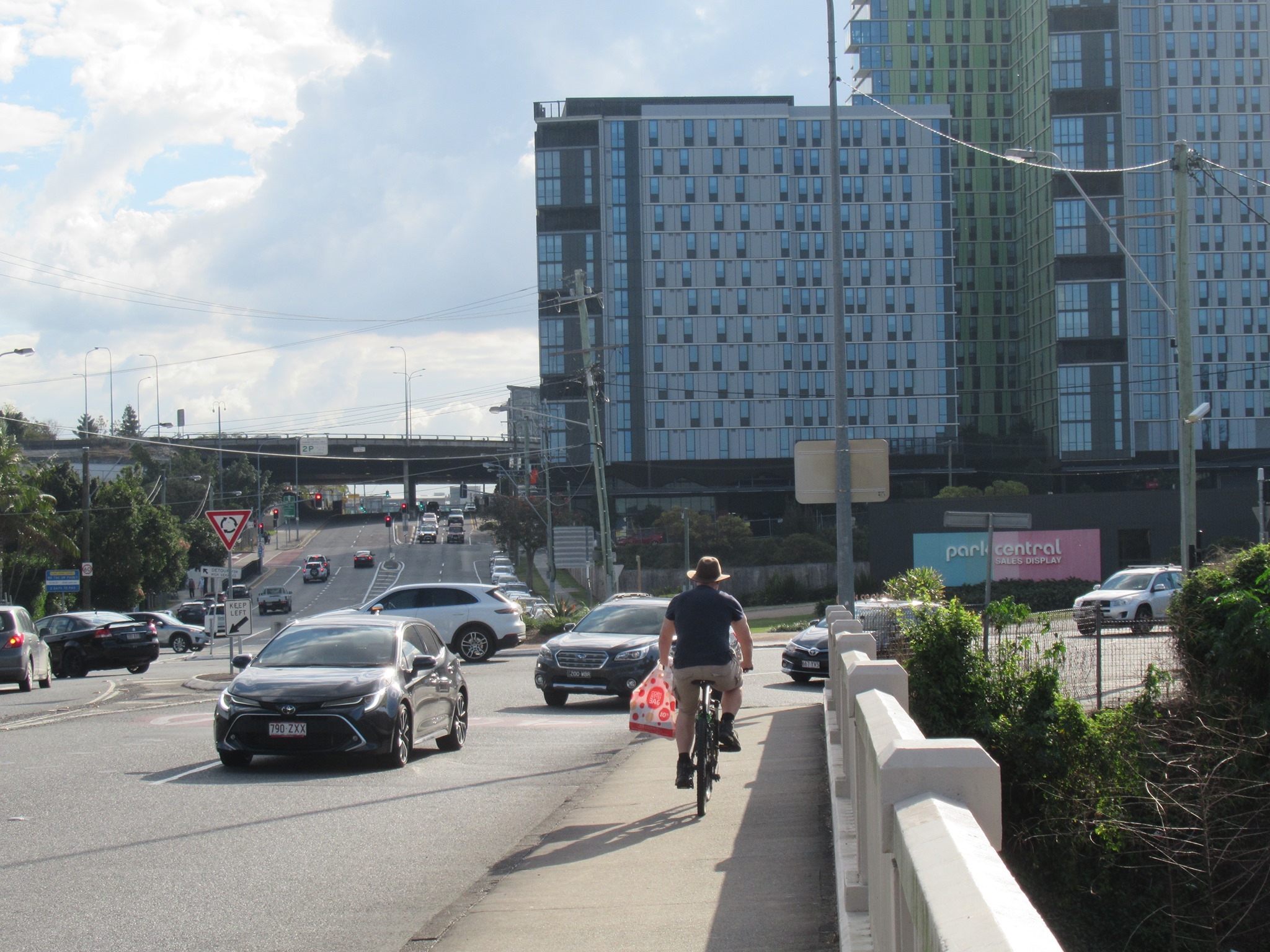
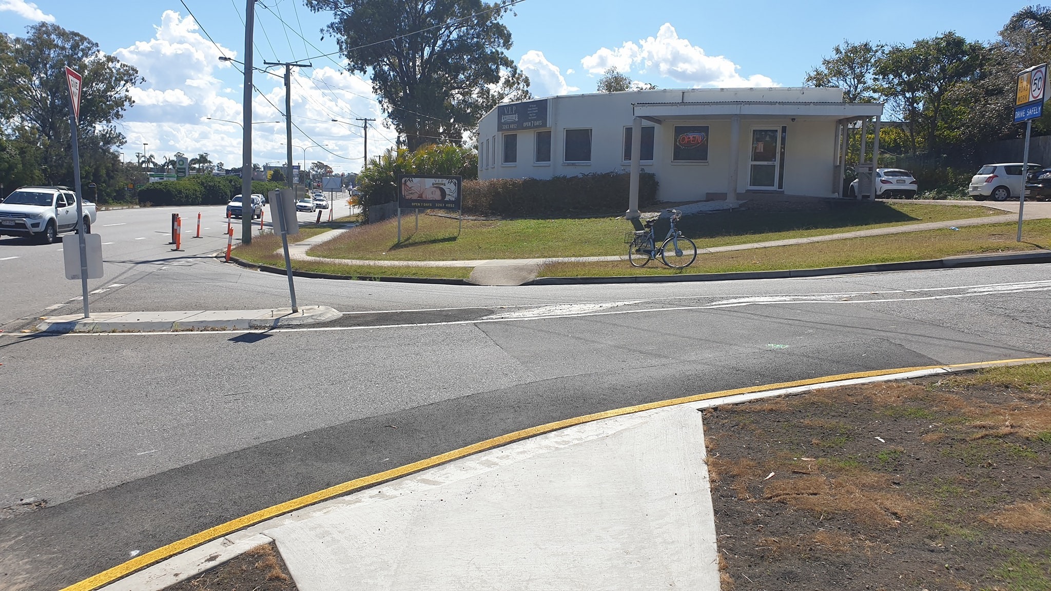
Brisbane CBD
It’s good to see that Brisbane City Council are prepared to make small improvements as part of the CityLink Cycleway trial in the CBD. You might have noticed that they recently re-introduced a left-turn lane for general traffic from Edward St into Margaret St. This involved shortening the bus stop, moving a concrete island, and reducing the space available for bikes to queue. We think that should still work OK with the signal timing which will clear bikes ahead of the left turn signal.
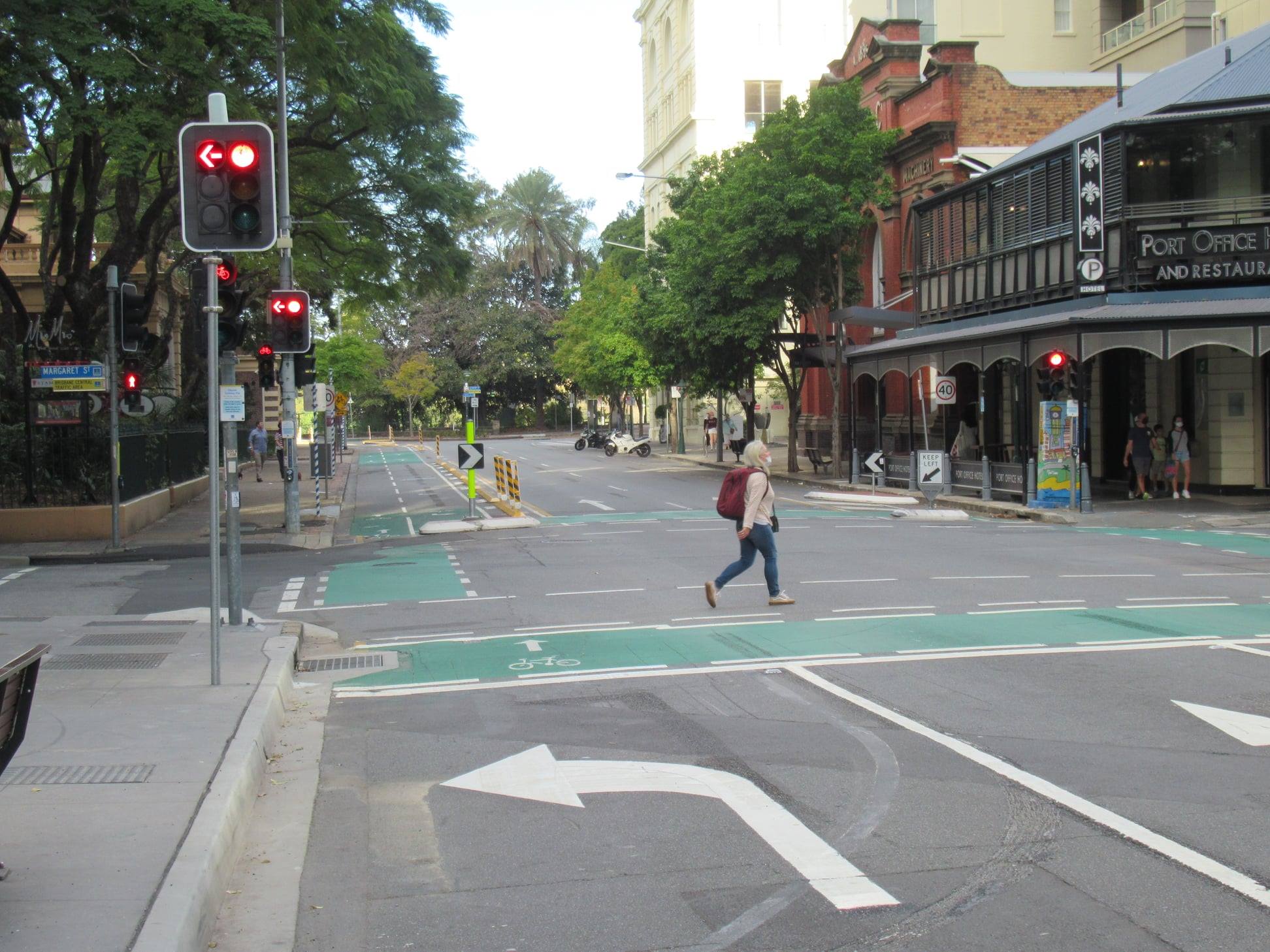
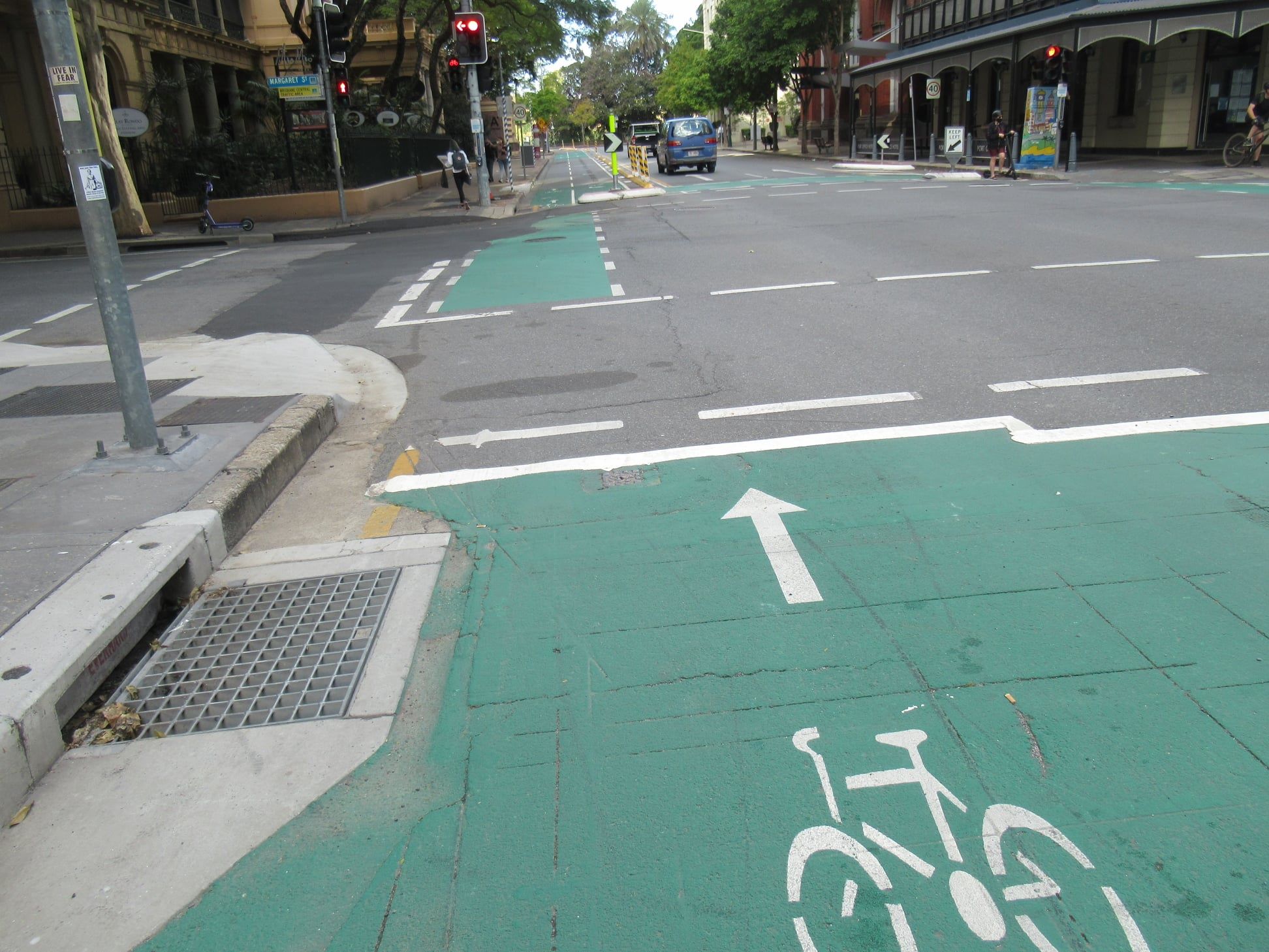
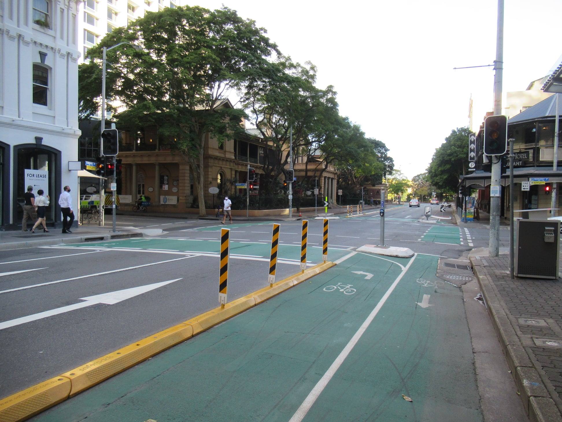
However we think a further improvement which is urgently required at this intersection is to move the route for bikes and scooters heading towards the Botanical Gardens so that they cross Margaret St first (with a longer light cycle, since there is no right-turning traffic), and then cross Edward St. The current arrangement unnecessarily delays bike and scooter traffic when there are no other vehicles on Edward St.
On the opposite corner of the CBD, could this be a pop-up protected bike lane on Herschel St?? If so, it would fill a critical missing link between the western suburbs and the heart of the CBD.
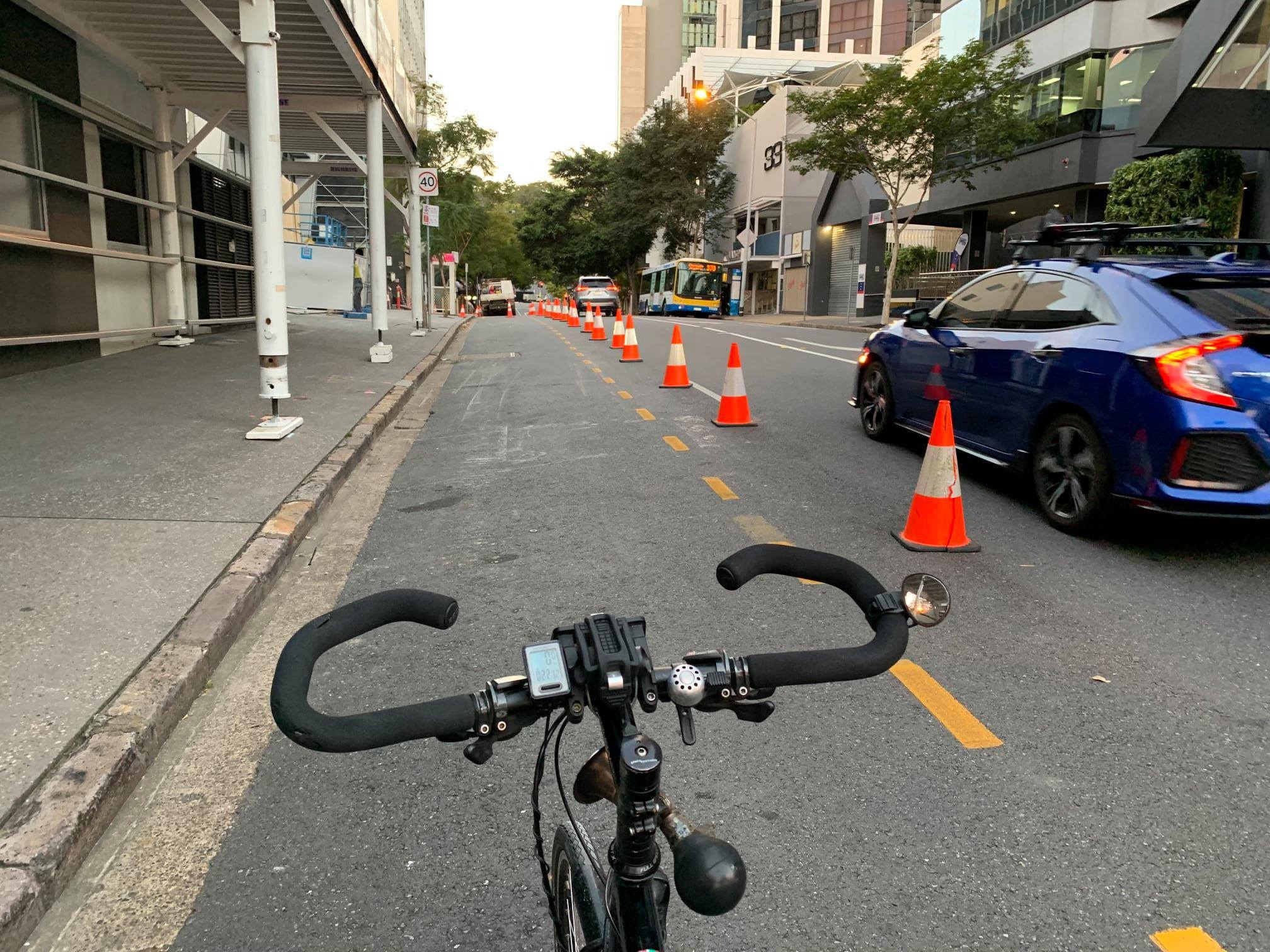
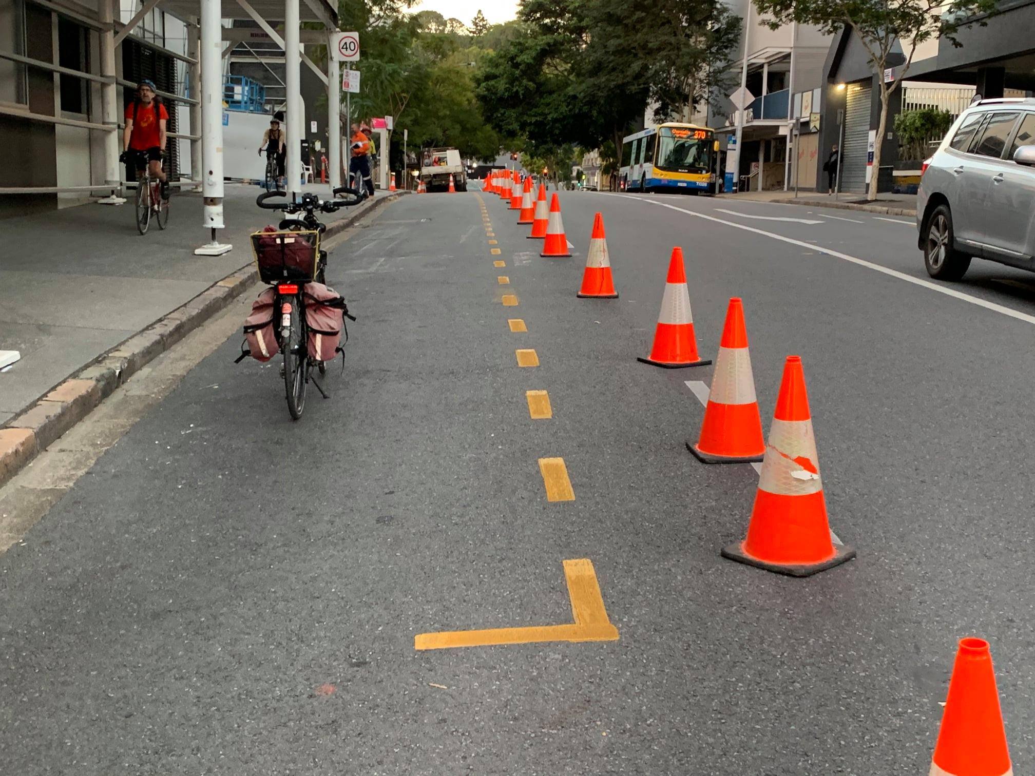
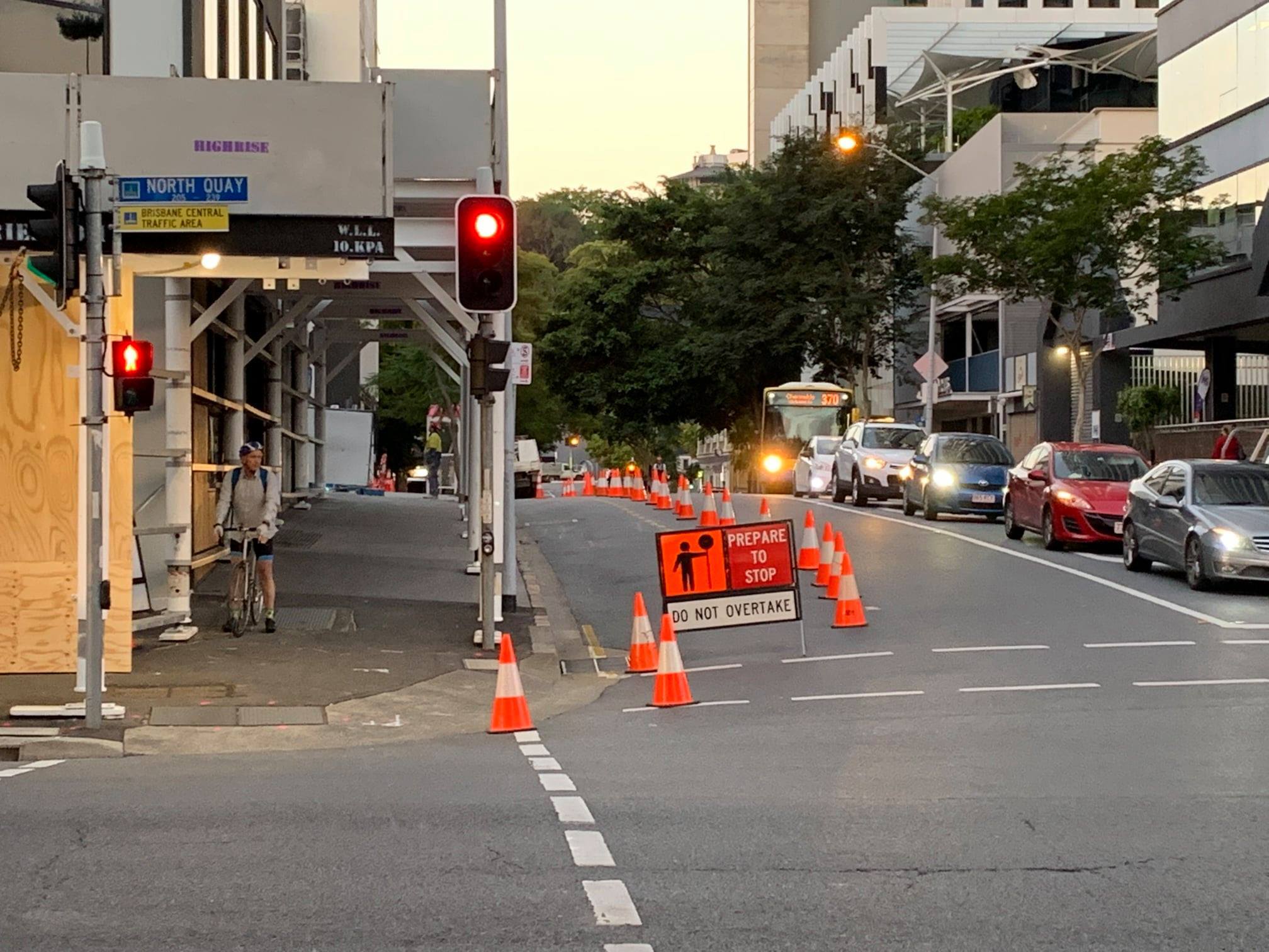
If it were a protected bikeway though, we could expect breathless articles in the daily tabloid about how the “loss of parking” was sending CBD businesses to the wall and causing traffic snarls back to Logan. Perhaps the reason we haven’t heard anything is that it’s just a private developer co-opting this public space to facilitate their construction project. Nothing to see here.
Maybe we could ask the developers to fill their witches hats with concrete and screw them down when they’re done??
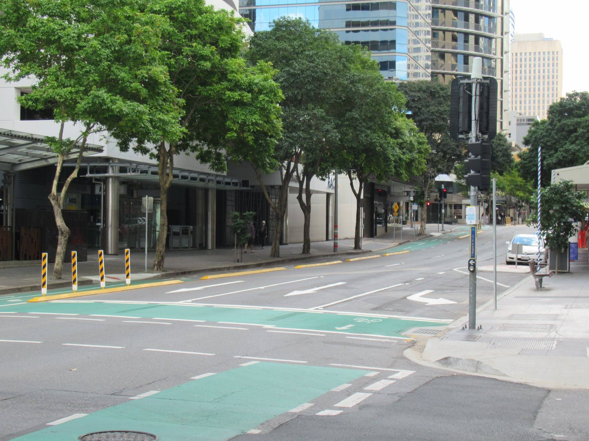
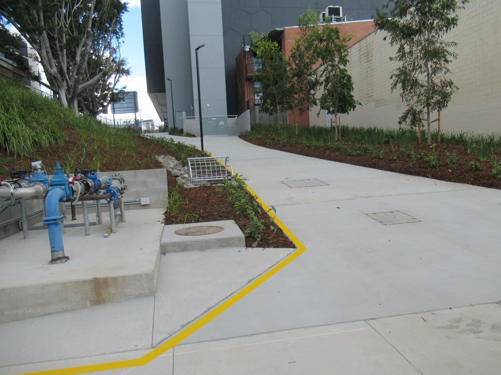
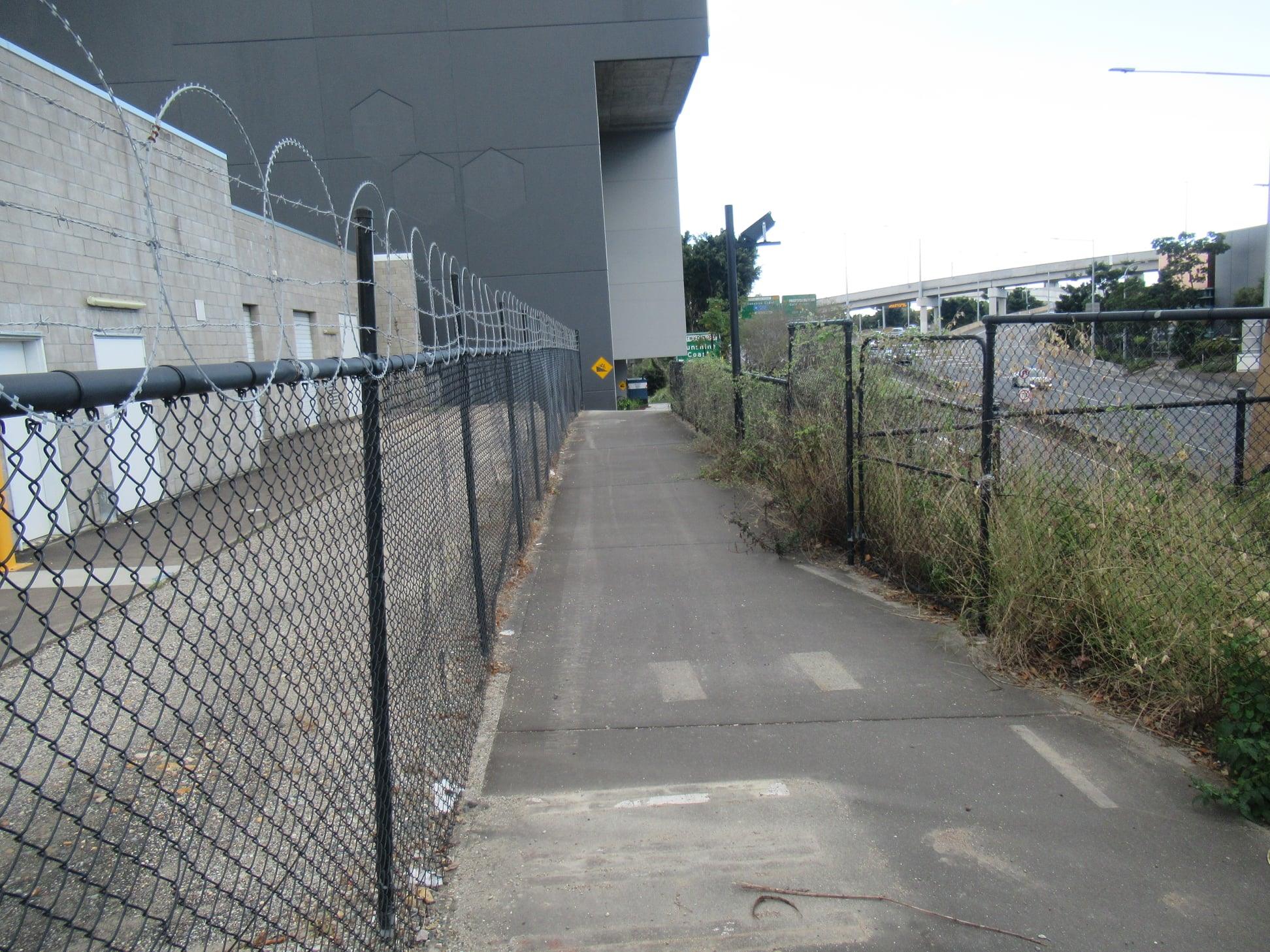
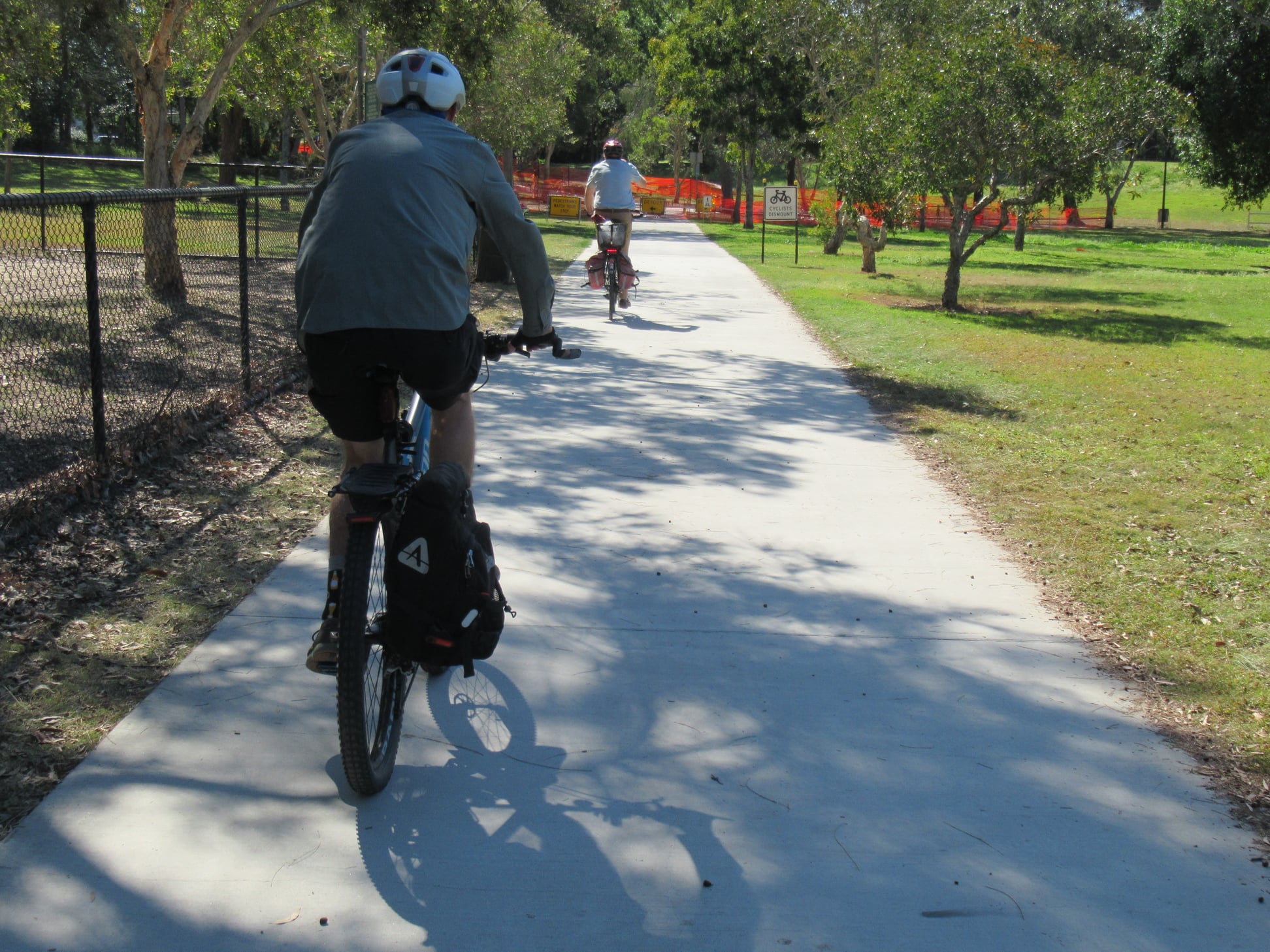
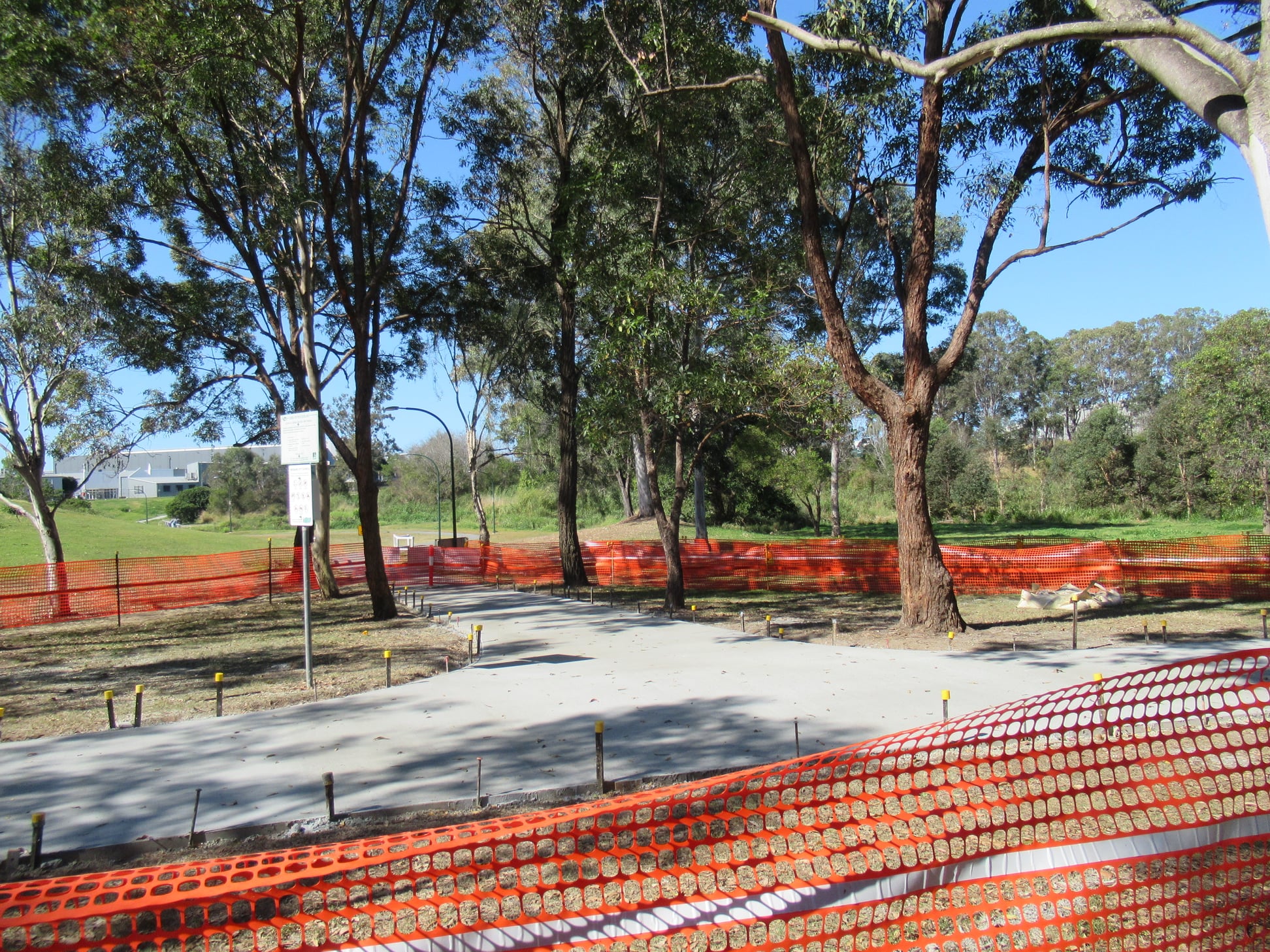
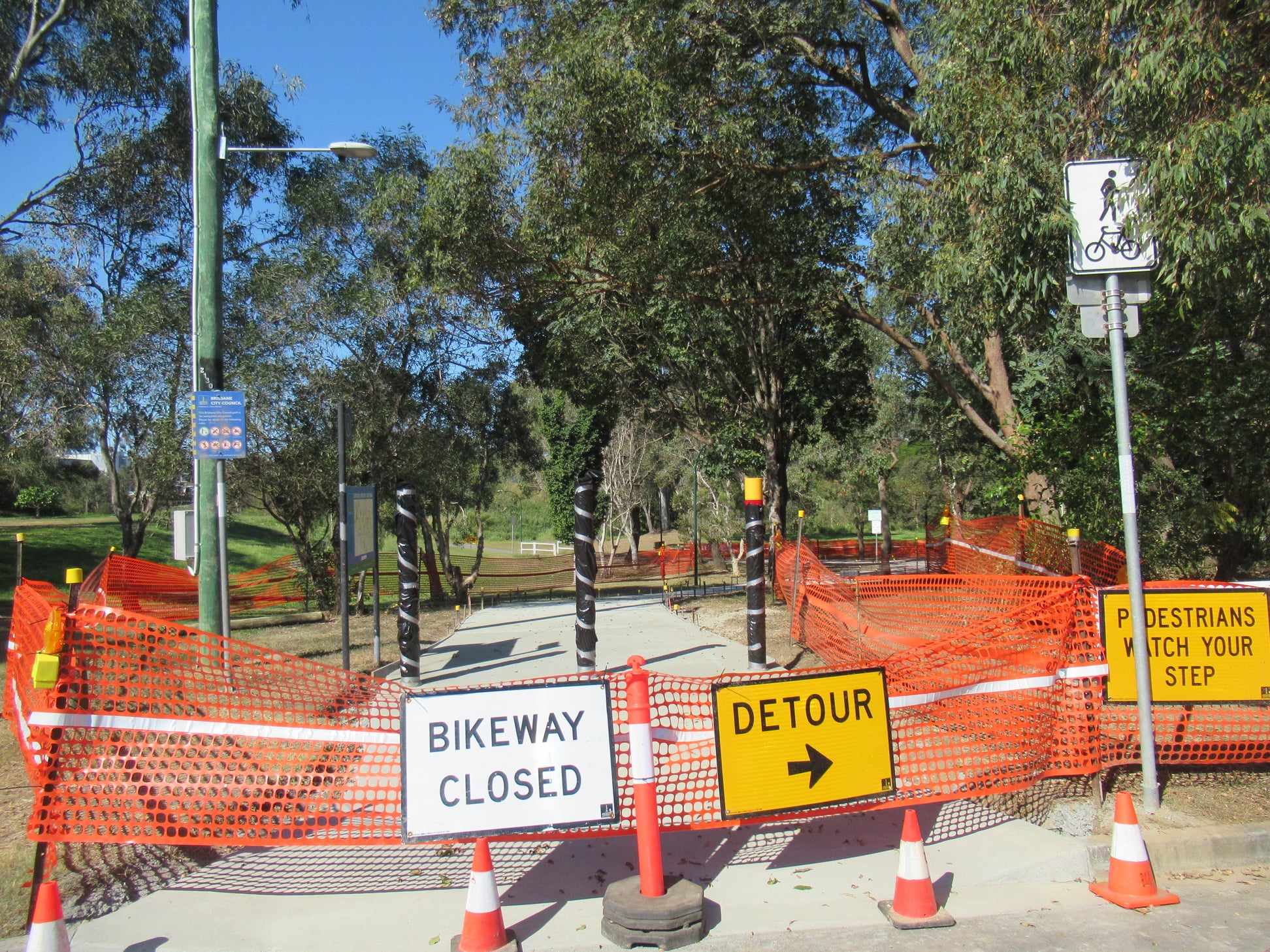
North Brisbane Bikeway
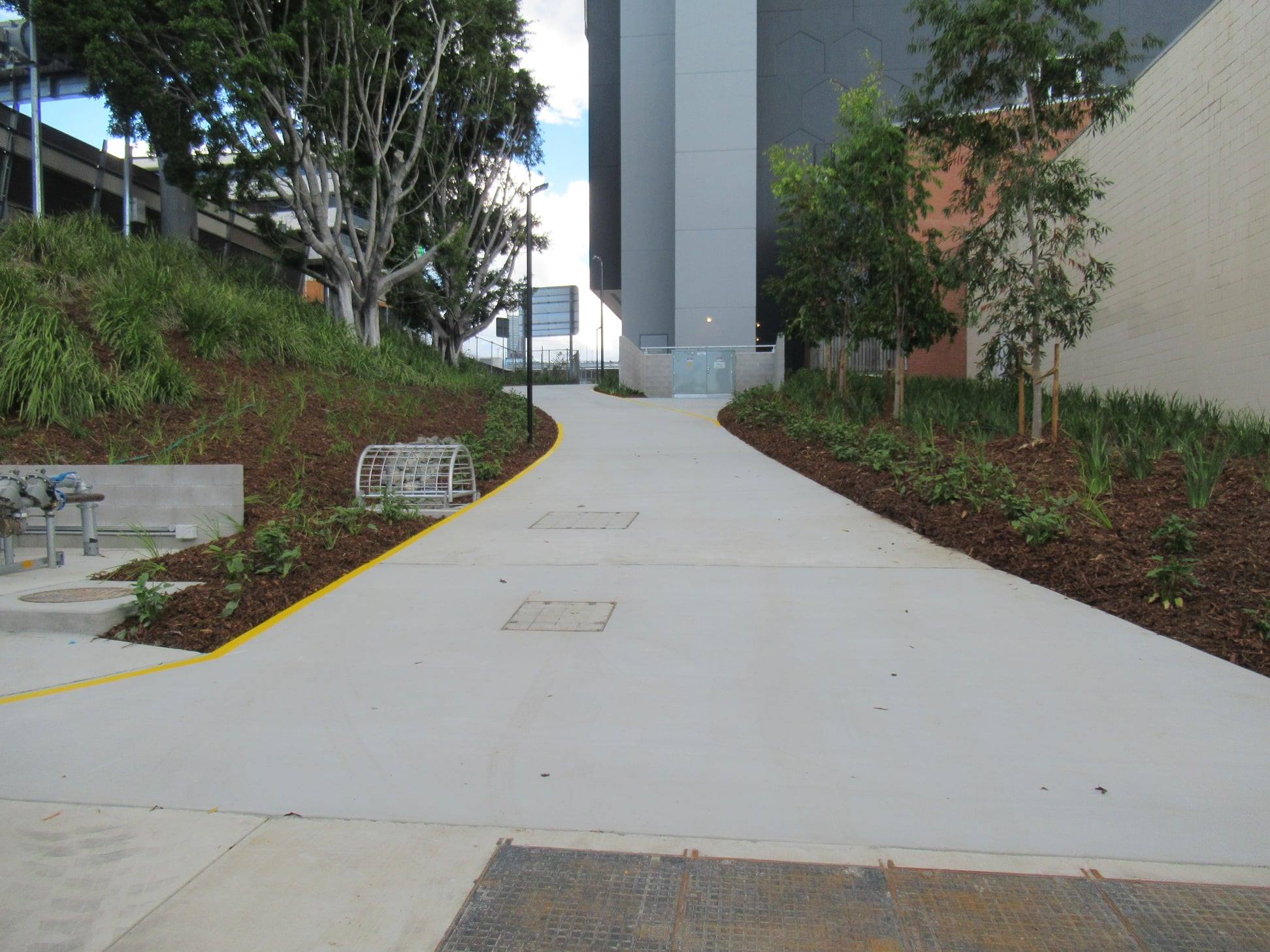
Just north of the CBD, we’re champing at the bit for the re-opening of the North Brisbane Bikeway between O’Connell Tce and Campbell St, Bowen Hills. The new path behind the Wren Medical Precinct looks good, but we’re disappointed that the top of the path was not improved at the same time. We assume that is on land controlled by TMR.
Also, at the bottom of the hill, it appears there will still be an awkward turn onto the footpath to reach the (narrow) crossing over Campbell St. With the increasing popularity of the North Brisbane Bikeway thanks to some good investment on the sections further north, this piece is looking rather second-rate.


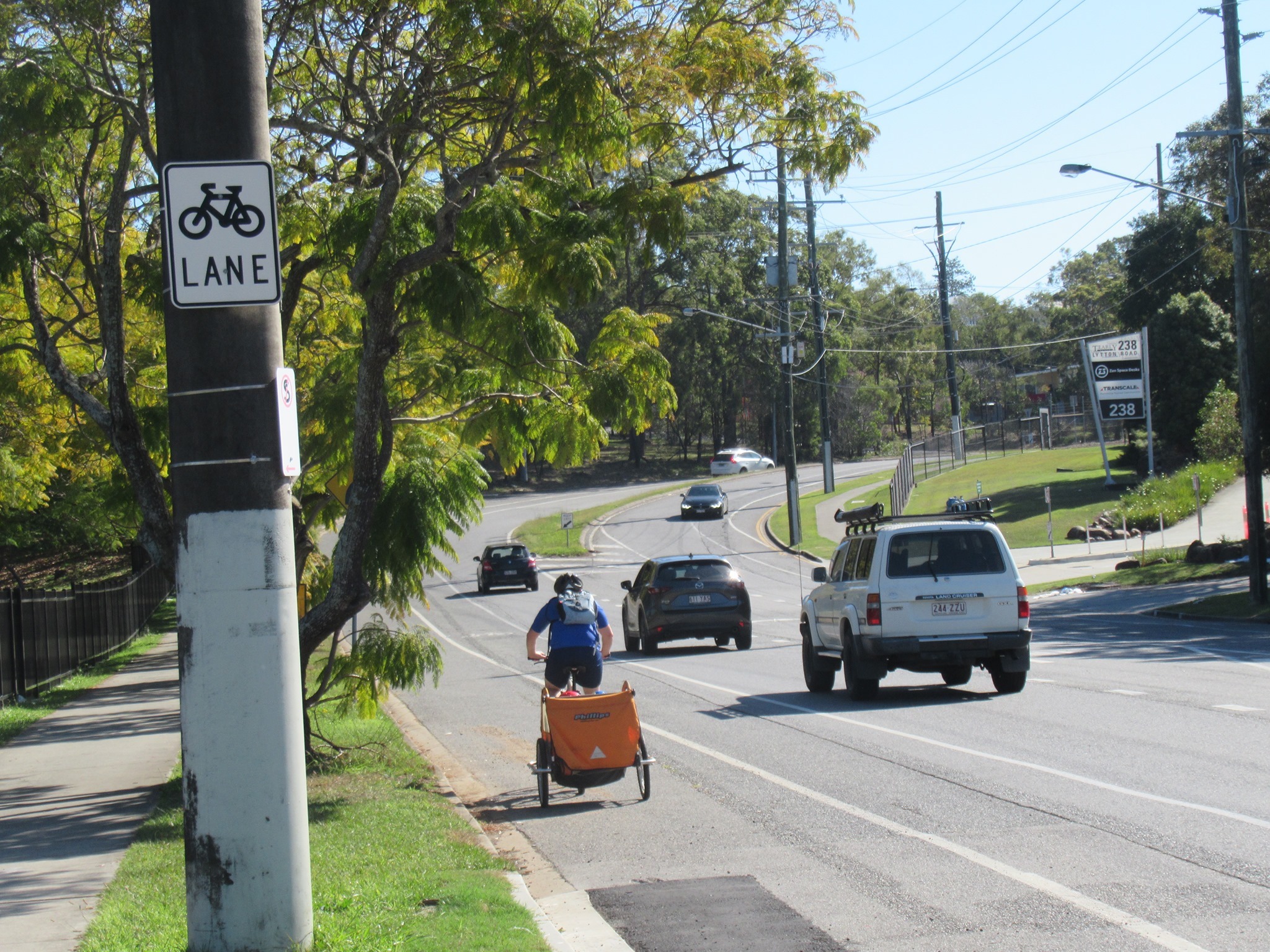
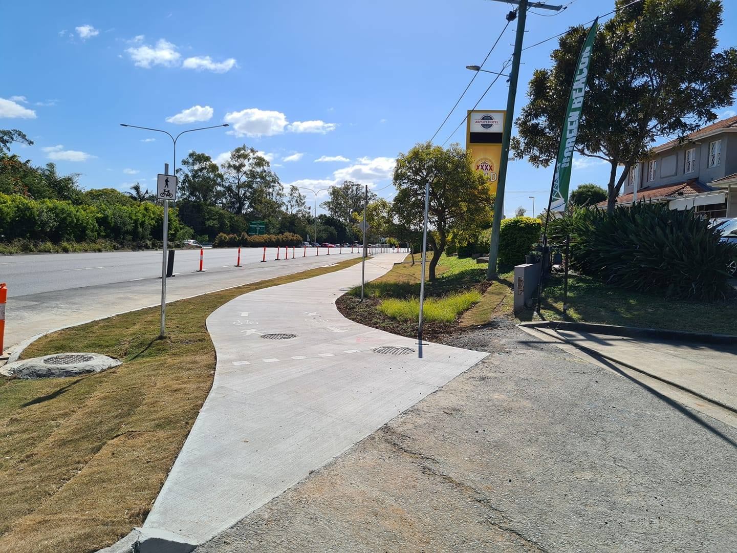
Chermside to Aspley Bikeway
This week, Council’s Transport Committee (previously the Public and Active Transport Committee) had a presentation on the North Brisbane Bikeway section between Webster Rd and Nevin St, Aspley.
This project was completed between 6 April and 23 July this year, thanks to a $2.1million grant from the Queensland Government under their COVID Works for Queensland program. The new section is 900m in total, around 75% of which is on-road along the Gympie Rd service road, where there have been speed platforms, traffic islands, and build-outs installed to slow traffic and discourage rat-running.
At the southern end, there is a 3m wide shared path around the Aspley Lions Park, including a raised priority crossing at the carpark driveway (nice!).
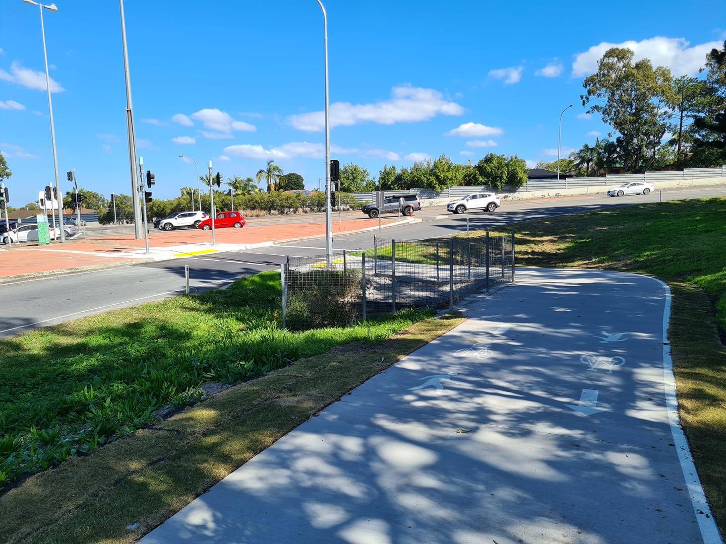


At the northern end of the service road, a new 3m wide shared path connects though to Nevin St. We’re keen to see a plan for what happens from there, as the crossing at Nevin St is… ordinary.
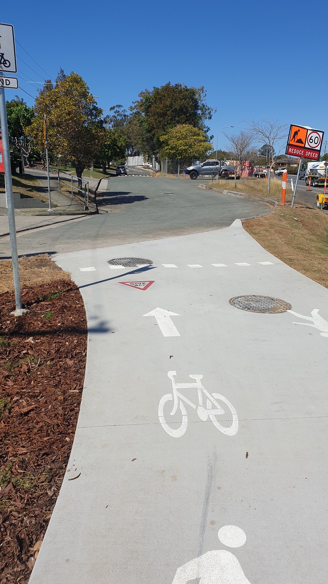

Cr Sri asked the question which has been on our minds: What is the speed limit for the Gympie Rd service road, given that the traffic calming devices recommend 20kph? The answer: it will be 40kph—although it wasn’t clear if that change has yet been implemented. (When we checked earlier in July, it was still signed as 50kph). We would prefer the speed was further lowered to 30kph, to make it more comfortable for people of all ages and abilities to ride, and to help discourage non-local traffic. But at 40kph, with the traffic management, it should still be a big improvement.
If you’ve ridden this new bikeway connection, how was your experience, and are you comfortable to cycle there with your family?


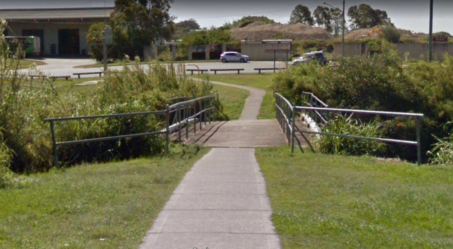
Brickyard Road Bridge
This has left us shaking our heads: Last month we posted about the replacement of the bridge over Downfall Creek at the end of Brickyard Road, Geebung. We assumed this was needed because the old road bridge was falling into disrepair, and there was a risk of losing this handy link from Bilsen Rd through to the Downfall Creek Bikeway, Virginia Station, and the underpass towards Banyo and Nudgee. This is an important connection for people wanting to avoid busy Sandgate and Toombul Roads.
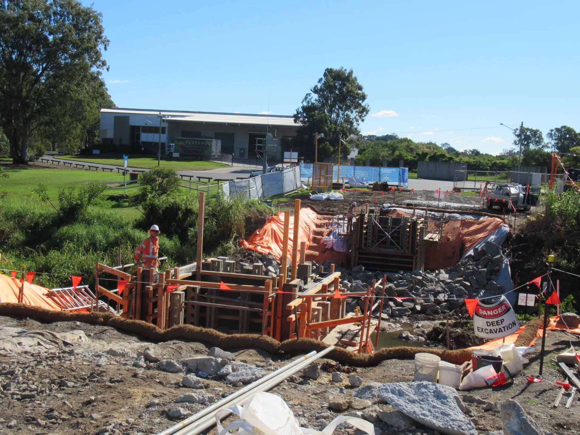
The bridge replacement was funded under “Bridges and Culverts Reconstruction and Rehabilitation” over two years, for a total of $1.3 million. So we’re stunned to see that the new bridge is only 1.8m wide, and has signs advising cyclists to dismount.
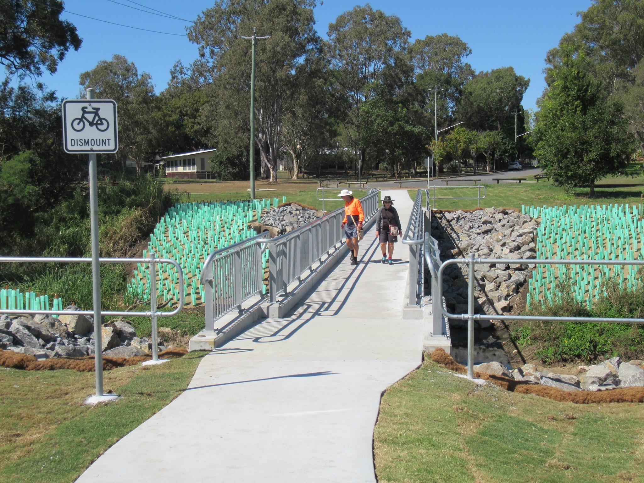

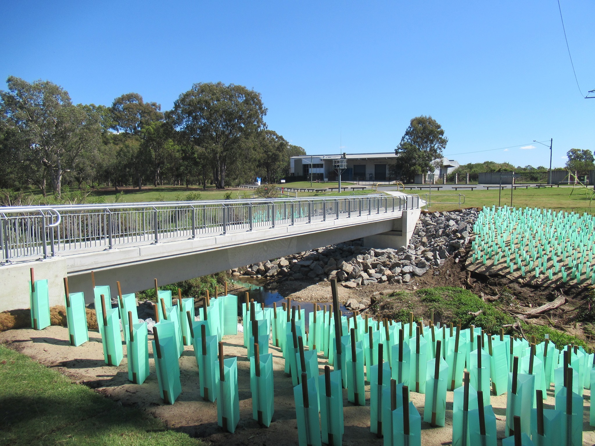
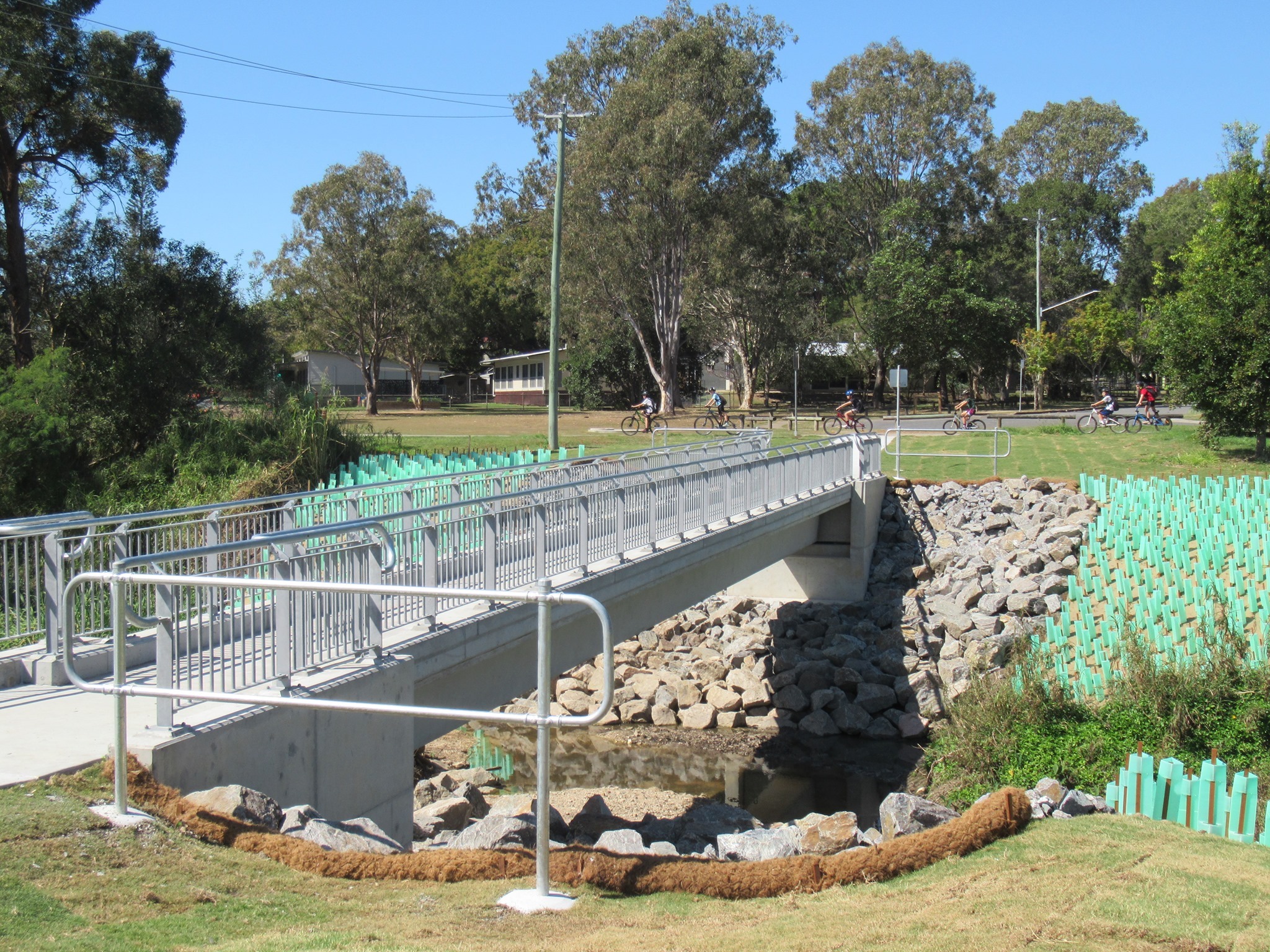
Bridges in much less strategic locations, carrying far less cycle and pedestrian traffic have been built to higher standards. We have no idea why a decision has been made to spend over a million dollars of public money on infrastructure that effectively downgrades an existing facility to something that doesn’t even safely cater for current usage.
Council’s own web site notes “The Brickyard Road pedestrian bridge has been identified as a key active transport infrastructure facility. The bridge provides an important link between Virginia and Geebung across Downfall Creek and facilitates access to Virginia State School, Downfall Creek Dog Park and popular walking and cycling paths.” Why would they choose to downgrade this “key active transport infrastructure facility” to something which does not meet basic requirements for a shared path?
Thanks to Brisbane North BUG and Airport BUG for calling this out. Our best hope is that perhaps the bridge can be modified by adding a wider deck so that it becomes fit for purpose.
Kedron Brook Bikeway
In brighter news, we were delighted to discover some improvements to the Kedron Brook Bikeway at Stafford on the weekend. The section between the bridge west of Webster Rd and Royal Parade—through Grange Forest Park and past the Mornington St Dog Park—has been replaced with a nice smooth, 3m wide path. Now it’s much easier for everyone to share this popular path: walkers, runners, bike riders of all ages, and dogs taking their owners on a lead to the park.

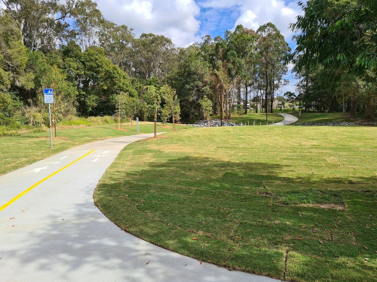
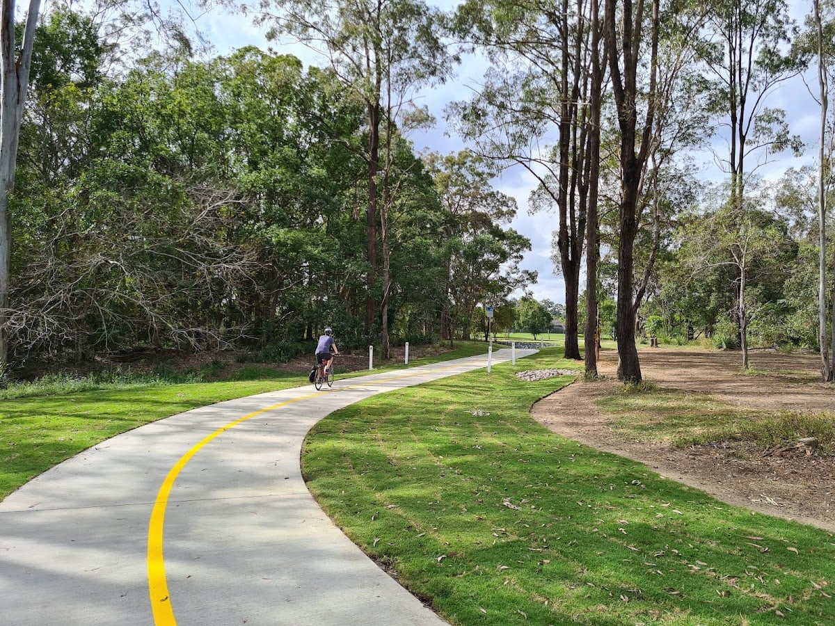
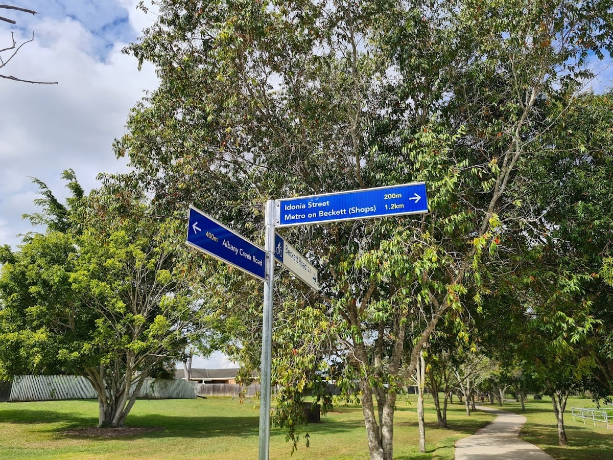
Bridgeman Downs
There’s also good news from Bridgeman Downs, where the path across Cabbage Tree Creek linking the Cabbage Tree Creek Bikeway to Idonia Street is now completed and open ahead of schedule.


Kenmore
Speaking of path improvements, West BUG report that the pathway between Wyndarra Street and Moggill Road in Kenmore was recently cleaned and the retaining wall improved to prevent mud and dirt washing onto the path during wet weather. Cr Greg Adermann confirmed that this work was done by Brisbane City Council to improve safety. Anyone who’s ridden this path after a storm will know how slippery it can get with leaf litter, mud and silt on the path. So this is a nice improvement.
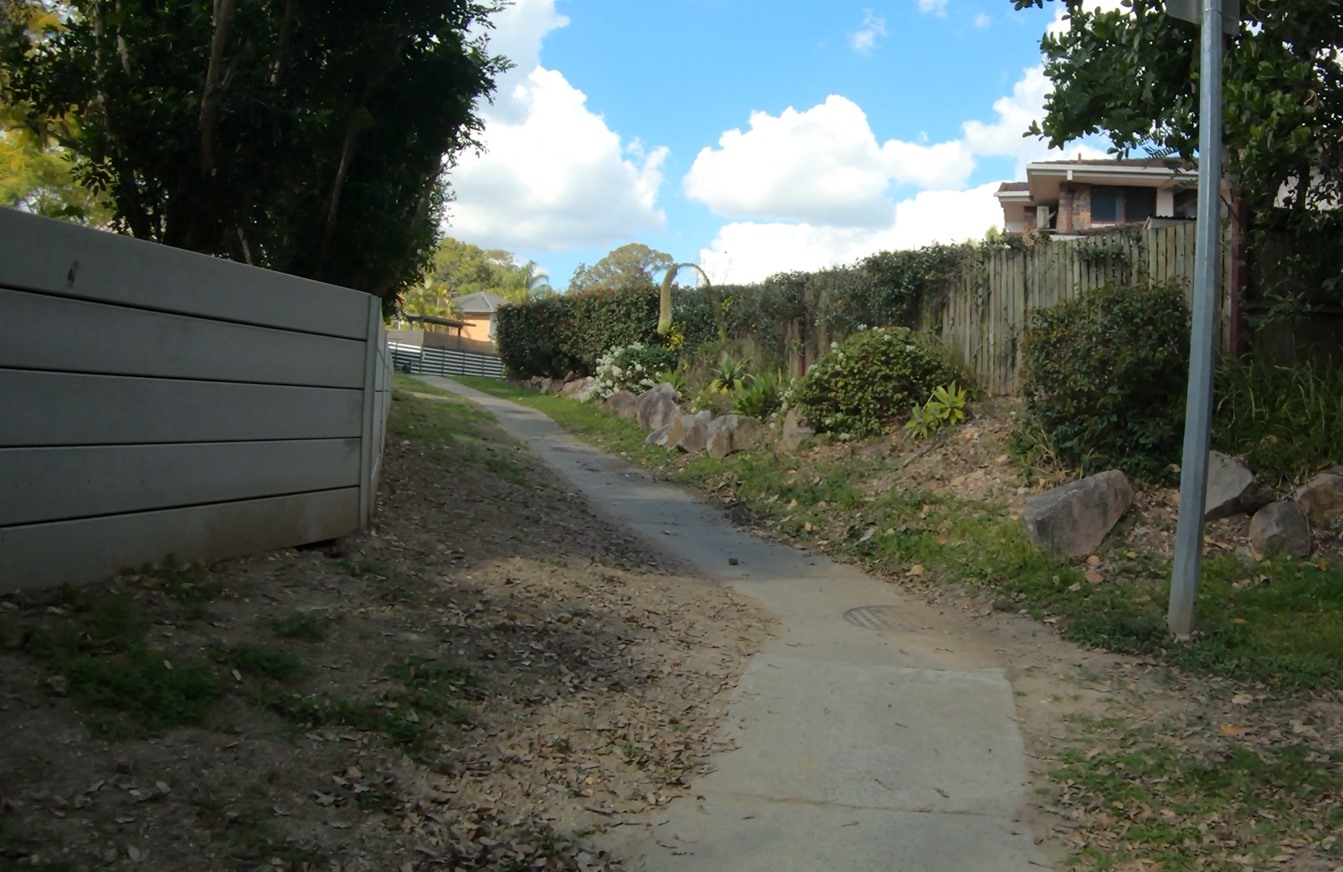
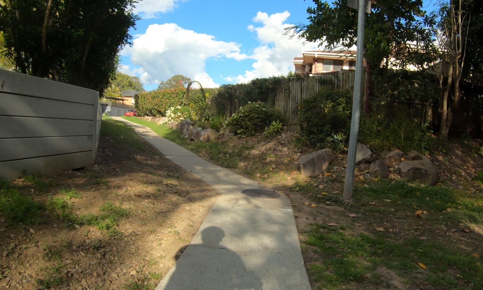
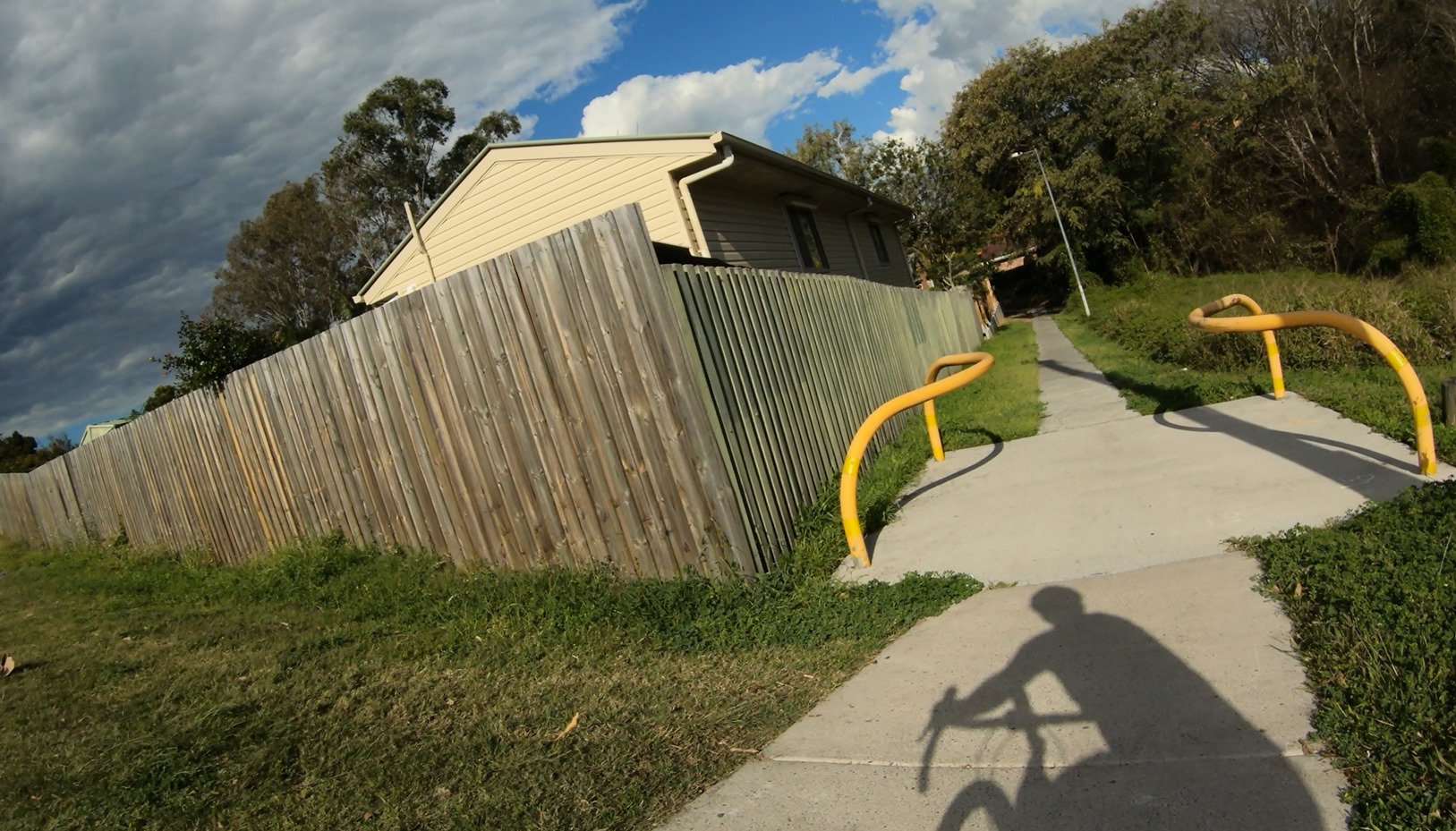
Chris also asked about the long desired widening of this path and removal of the banana bars, and Cr Adermann assures us that this is on the capital works list. It’s a really important and well used link, and the safest way to get between Rafting Ground Road and the Centenary Cycleway via Kersley Road, and it’s something we’ve been lobbying for for a number of years. Unfortunately it’s not funded for 2021-22, but if you agree this is an important link to improve, make sure you let Greg know so he can lobby for it to be included in the 2022-23 budget. The squeaky chain gets the oil!
Moreton Bay Cycleway
This one is just outside of Brisbane, but worth celebrating: Congratulations to the Moreton Bay Regional Council for the separated cycle path at Clontarf. As you can see in this ride through it’s practically complete, just needs some grass and some paint put down.
Having separate pathways for pedestrians and people riding bicycles makes it safer for everyone.
Magpies
Finally, don’t forget that it’s magpie swooping season. You might find one of our feathered friends keen to remind you… Here’s Chris with a good demonstration of keeping calm and in control, and why that matters:
