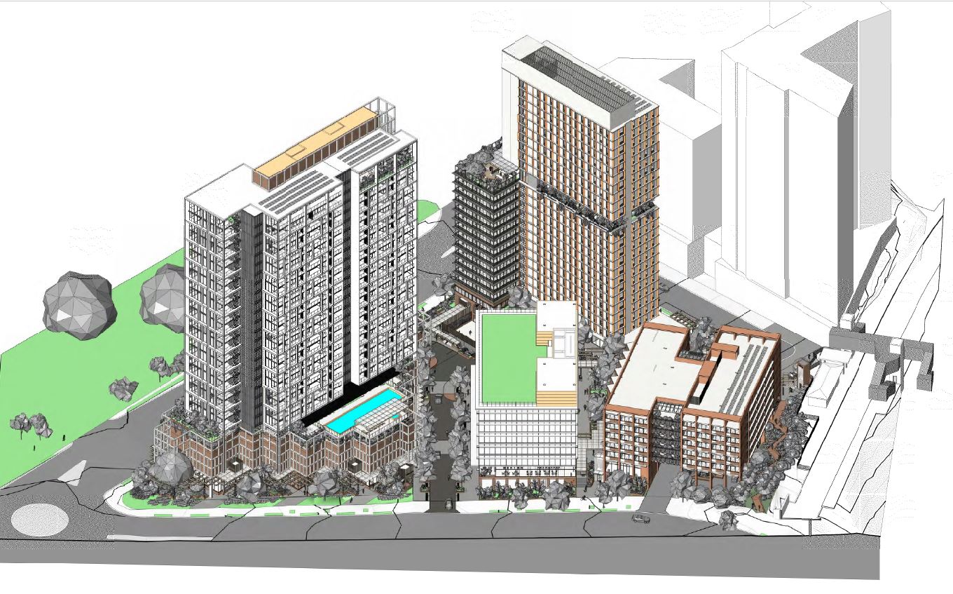
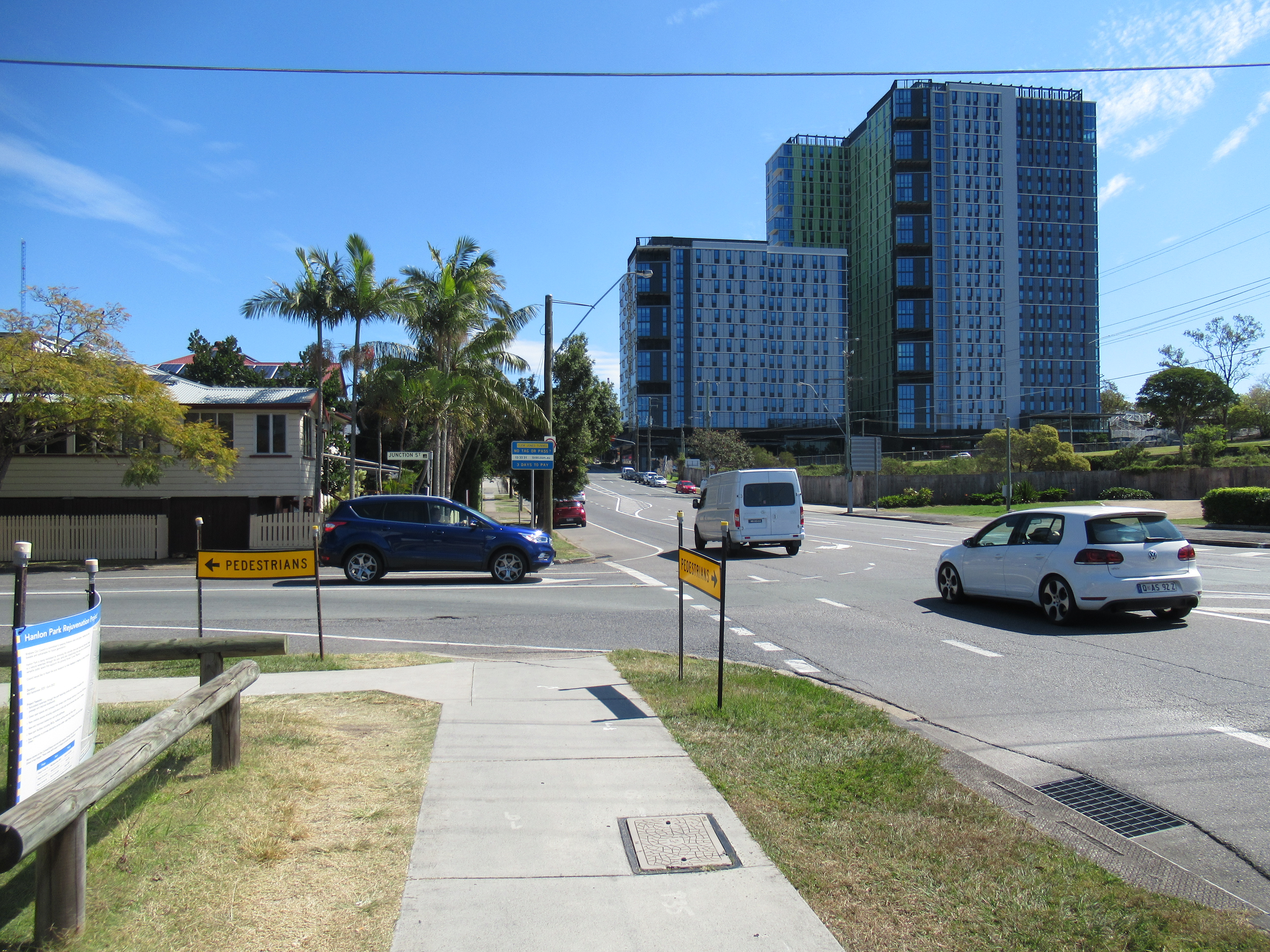
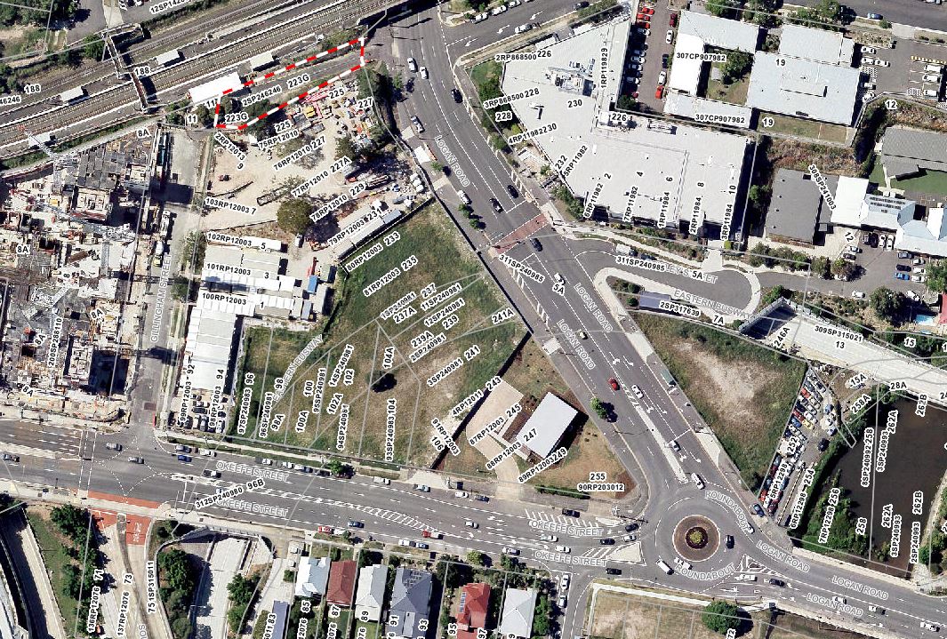
We’ve previously raised concerns about the development of the block in Woolloongabba bounded by Logan Road, O’Keefe St, Gillingham St, and the railway line at Buranda Station. A new development application was lodged on 13 August 2021, which provides some greater clarity, but also underscores some of those concerns.
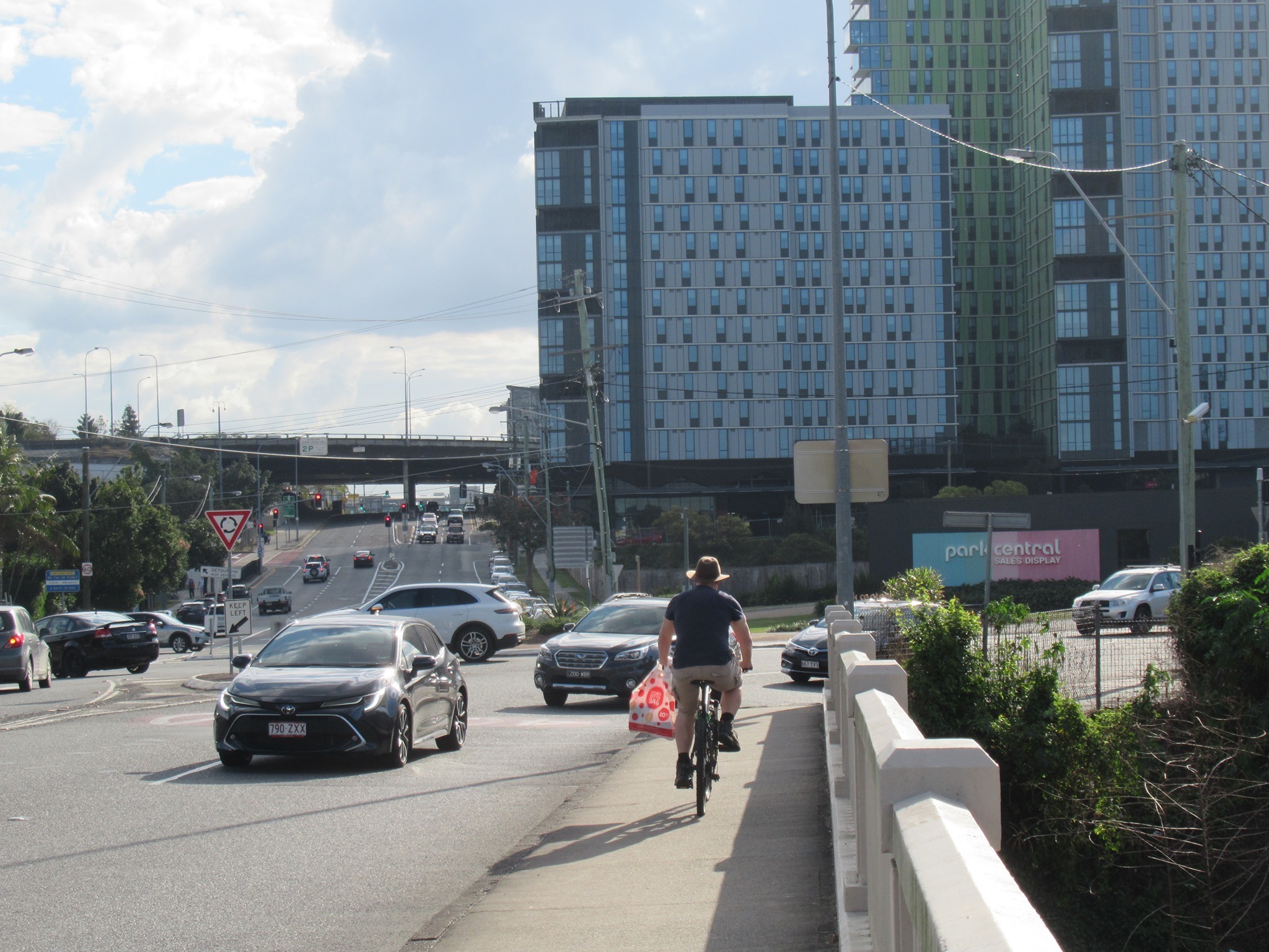
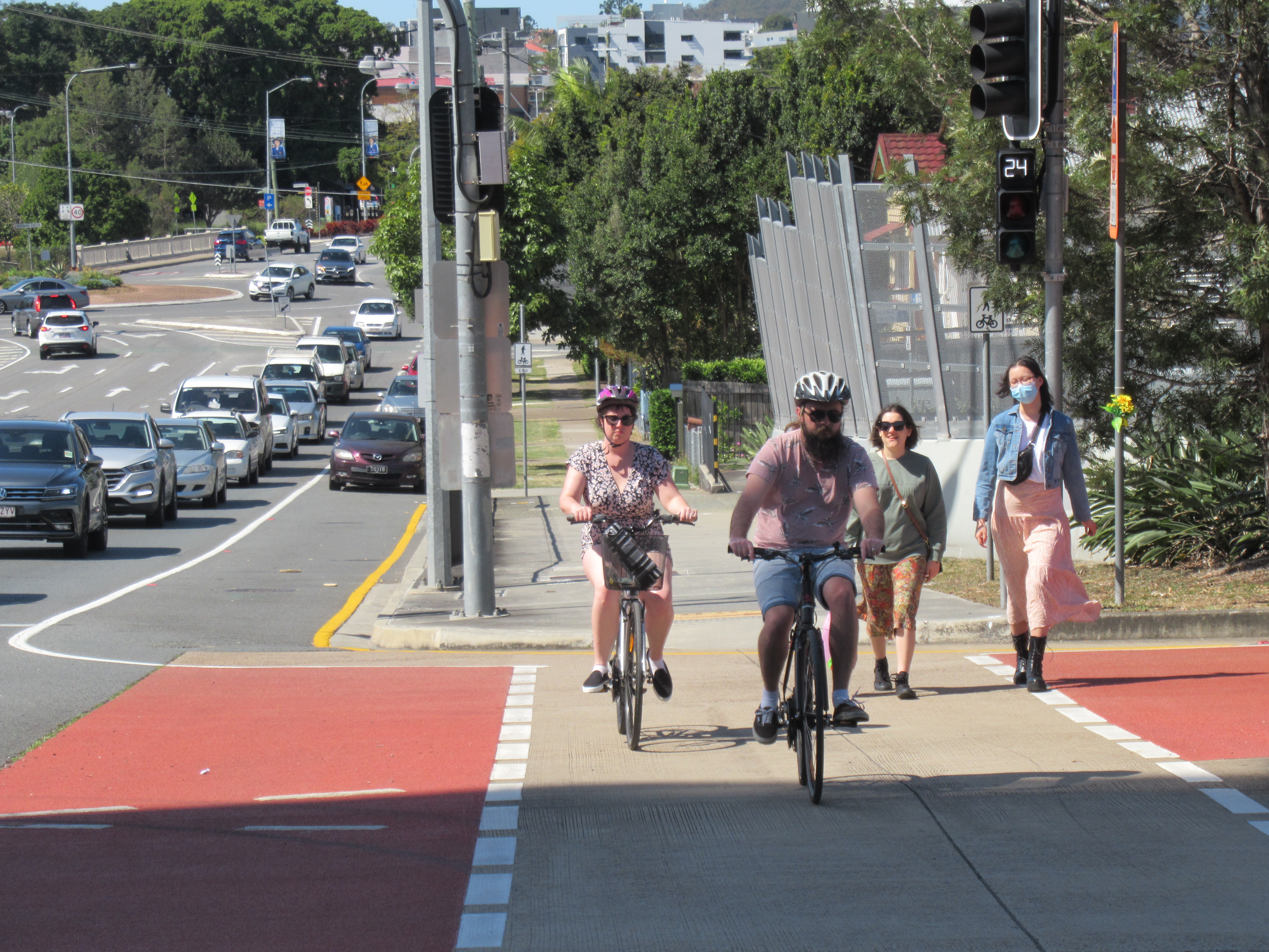
This is a great location for Transit Oriented Development (TOD); it is directly adjacent to the Buranda Railway Station (on the Cleveland Rail Line, just two stops from South Bank, and four stops from the CBD) and very close to the Buranda Bus Station (on the South East Busway, very soon to become the high-frequency Brisbane Metro). It’s just a few hundred metres from connections to the V1 Veloway (to the CBD and to the south eastern suburbs), PA Hospital Bikeway (soon to connect west to the Eleanor Schonell Bridge and University of Queensland), and Norman Creek Bikeway (linking south to Tarragindi and Salisbury, and north-east to Coorparoo and Norman Park).
The location is within walking distance of shopping and dining precincts and community facilities at Stones Corner and Buranda Village, as well as the Princess Alexandra Hospital, and businesses along Logan Road, Woolloongabba. Nearby sporting and recreational facilities include the newly rejuvenated Hanlon Park, the Langlands Park Memorial Pool, East Leagues Club, and various sporting clubs and parks along Norman Creek. As 2032 approaches, savvy investors might note that it is a straight-forward 1.3km walk to the main Olympic stadium at Woolloongabba.
In short, this is a great location to support a car-free lifestyle. But a TOD should still follow fundamental TOD principles, and we’re concerned the current proposal falls short. Specifically with respect to:
- enhancing active transport connectivity and public transport access, not just for residents and visitors, but also for trips through the precinct
- prioritising active transport connections and access to public transport for residents and visitors ahead of motor-vehicle access
- minimising space dedicated to car parking, and discouraging private car ownership and use.
Let’s take a look at some of the issues surrounding this proposed development:
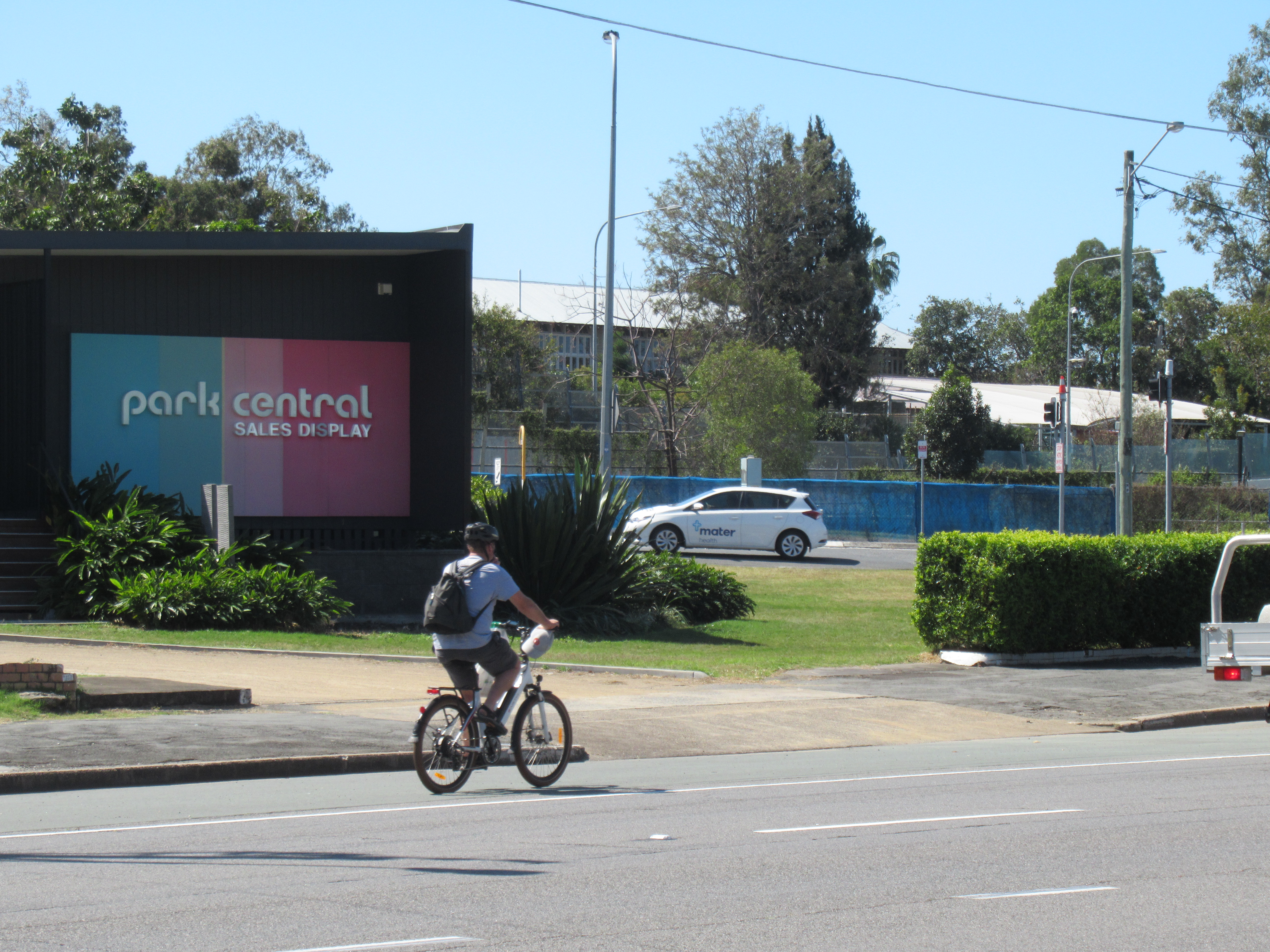
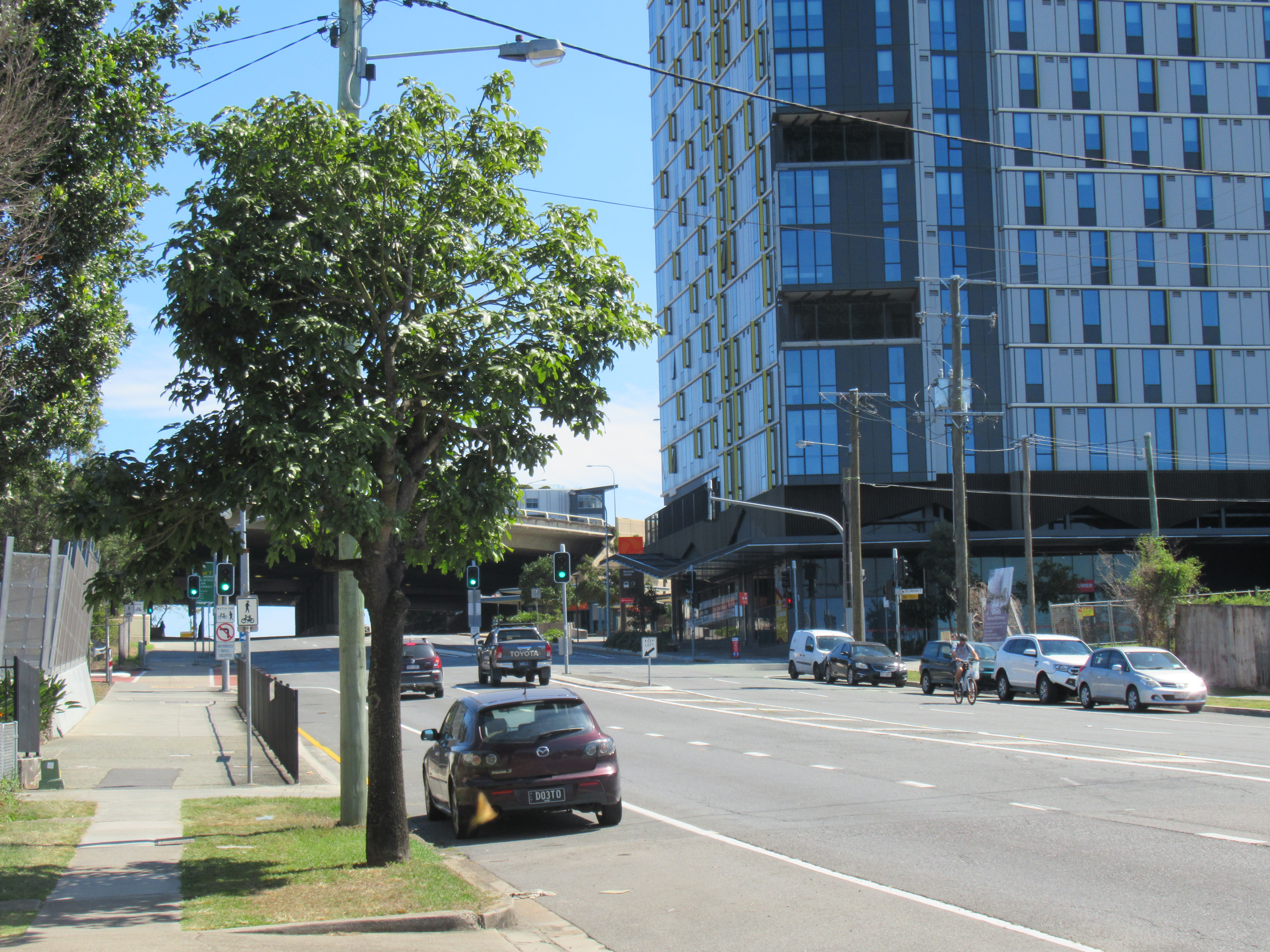
Logan Road Roundabout
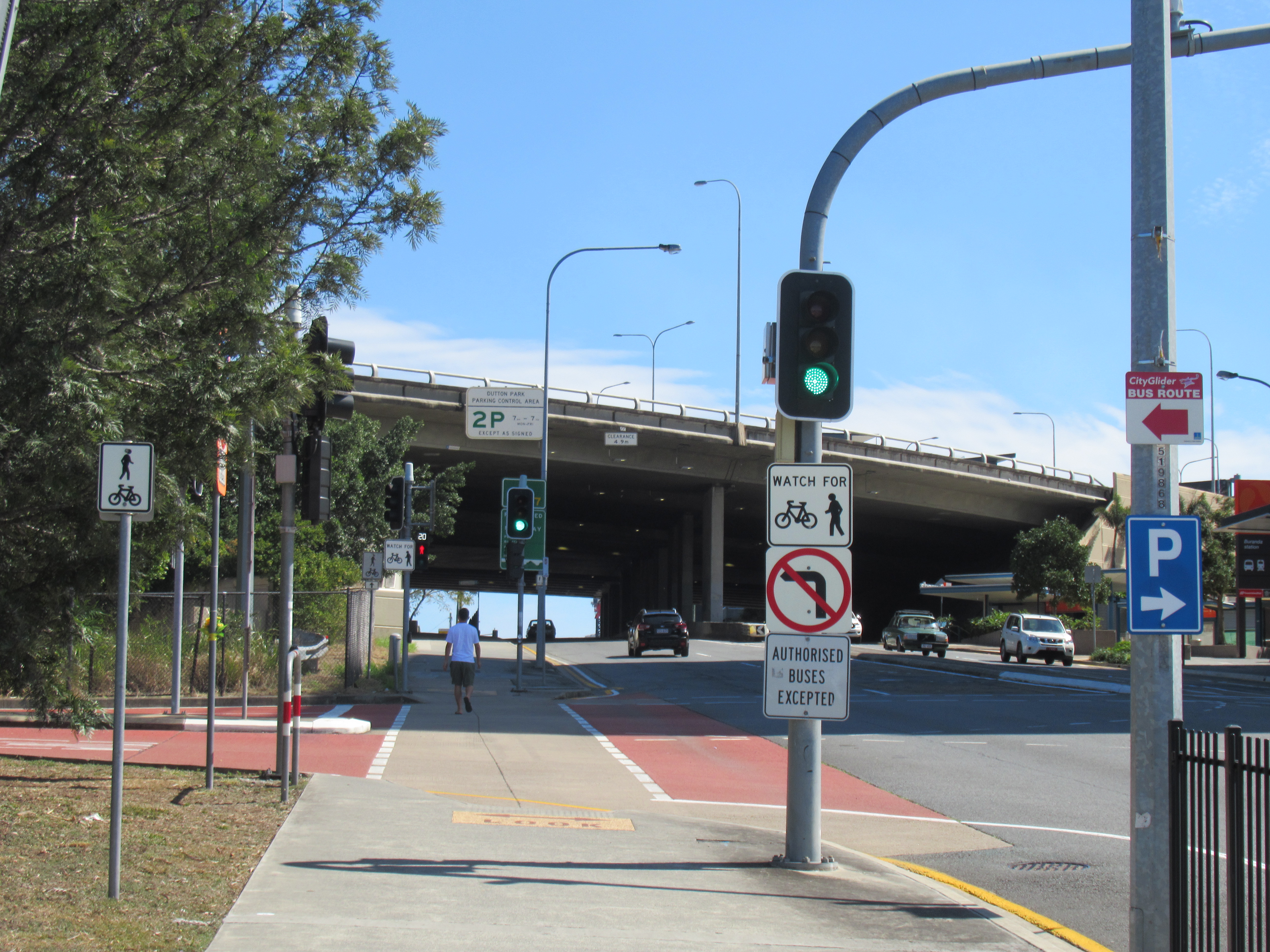
The Logan Road roundabout is particularly hostile for cycling, and pedestrians are expected to take long detours and experience multiple long delays to simply cross the road.
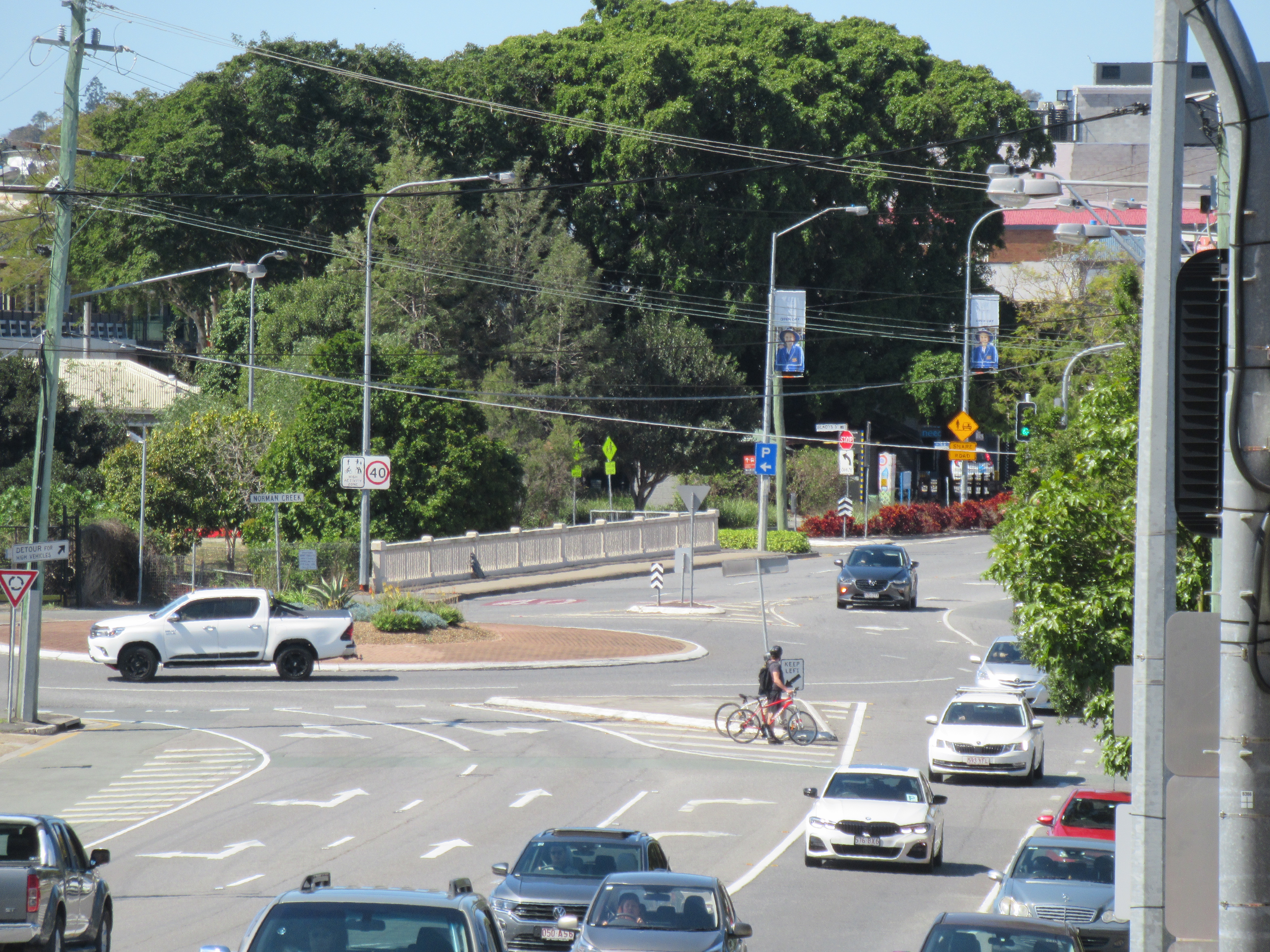
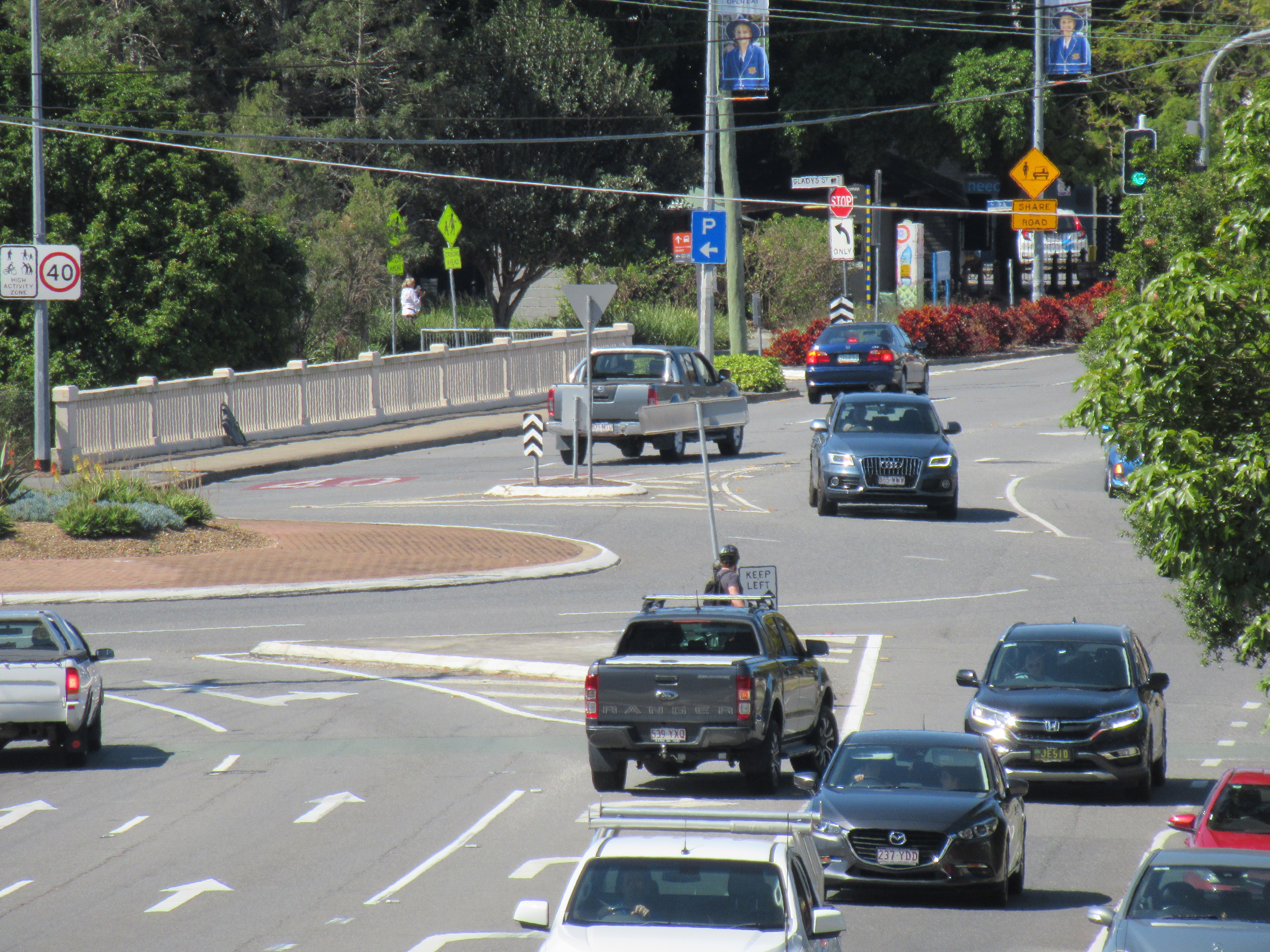
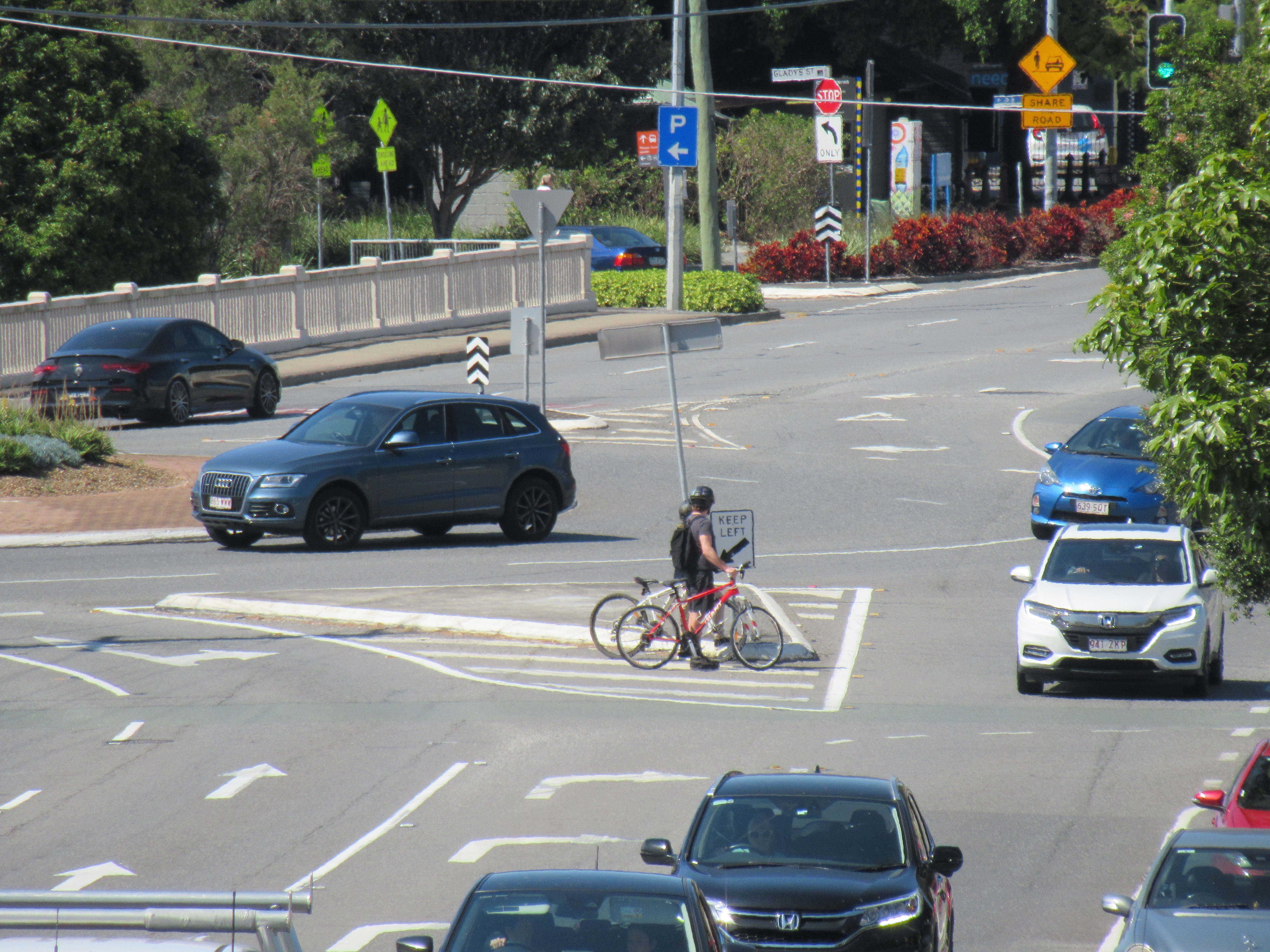
The traffic report for the development application indicates that modelling has been done based on the assumption this roundabout will be replaced with a signalised intersection, and that the layout used is based on discussions with Brisbane City Council.

Figure 10.1 shows the configuration of the existing Logan Road / O’Keefe Street layout adopted for the SIDRA analysis.
Figure 10.2 shows the indicative layout of the future signalised intersection. This layout is based on BCC planning provided as part of preliminary discussions for the site.
Traffic Impact Assessment
There are a number of red flags with this indicative layout:
- the traffic modelling has been done assuming there will be no pedestrian crossing on the eastern arm of the intersection. In future that’s likely to be used to argue that no pedestrian crossing facilities can be provided, despite policy which now says otherwise.
- it shows 5 lanes on Logan Road east of the intersection. But that’s a heritage listed bridge which only barely fits 4 lanes. Elsewhere the traffic report mentions “widening of Norman Creek bridge to 6 lanes” – which again ignores that it’s heritage listed and that widening Logan Road east from there would rip the heart out of Stones Corner.
- it appears to completely ignore Junction Street, which is more or less part of the intersection – and a significant contributor to traffic queueing at and on approach to the roundabout. (It’s also a terrible place for pedestrians and cyclists to cross).
As for when the Logan Road intersection upgrade might actually occur, the traffic impact assessment says:
“BCC has preliminary planning for the upgrade of the Logan Road / O’Keefe Street intersection. Whilst the intersection is shown to fail in the 2025 PM development scenario, the sensitivity analysis shows that the intersection fails in 2026, without the addition of the development traffic. Given that the background traffic warrants upgrade of the intersection in 2028, it is not considered reasonable that the applicant be responsible for the upgrade of the Logan Road / O’Keefe Street intersection. It is recommended that further discussions be undertaken between the applicant and Council regarding an infrastructure agreement and contributions and general agreement with respect to a mechanism to facilitate the upgrade that is both fair and reasonable.”
We agree with the gist of this: it is unreasonable to expect a developer to pay the full cost of upgrading an intersection that is already over-capacity. However it’s extremely problematic to allow a major development to proceed on the assumption that an adjacent intersection will be upgraded, but not tie that upgrade to the development, and not insist on making good provision for active transport. We’ve recently seen this situation play out in Morningside, at the intersection of Lytton Road, Junction Road, and Colmslie Road. A major development on that corner has now been completed, but Council has not funded the intersection upgrade to support the increased level of traffic, and it’s a disaster zone for active travel.

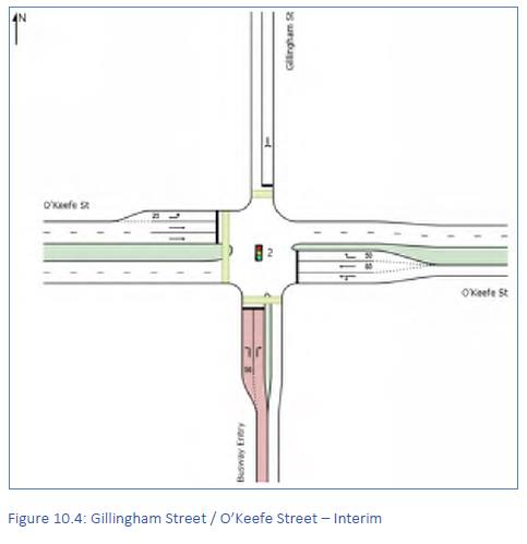
Gillingham Street intersection
The development also proposes changes to the intersection of O’Keefe Street and Gillingham Street, with the traffic report saying “This is required to accommodate development traffic in both the 2025 and 2035 development scenarios.”
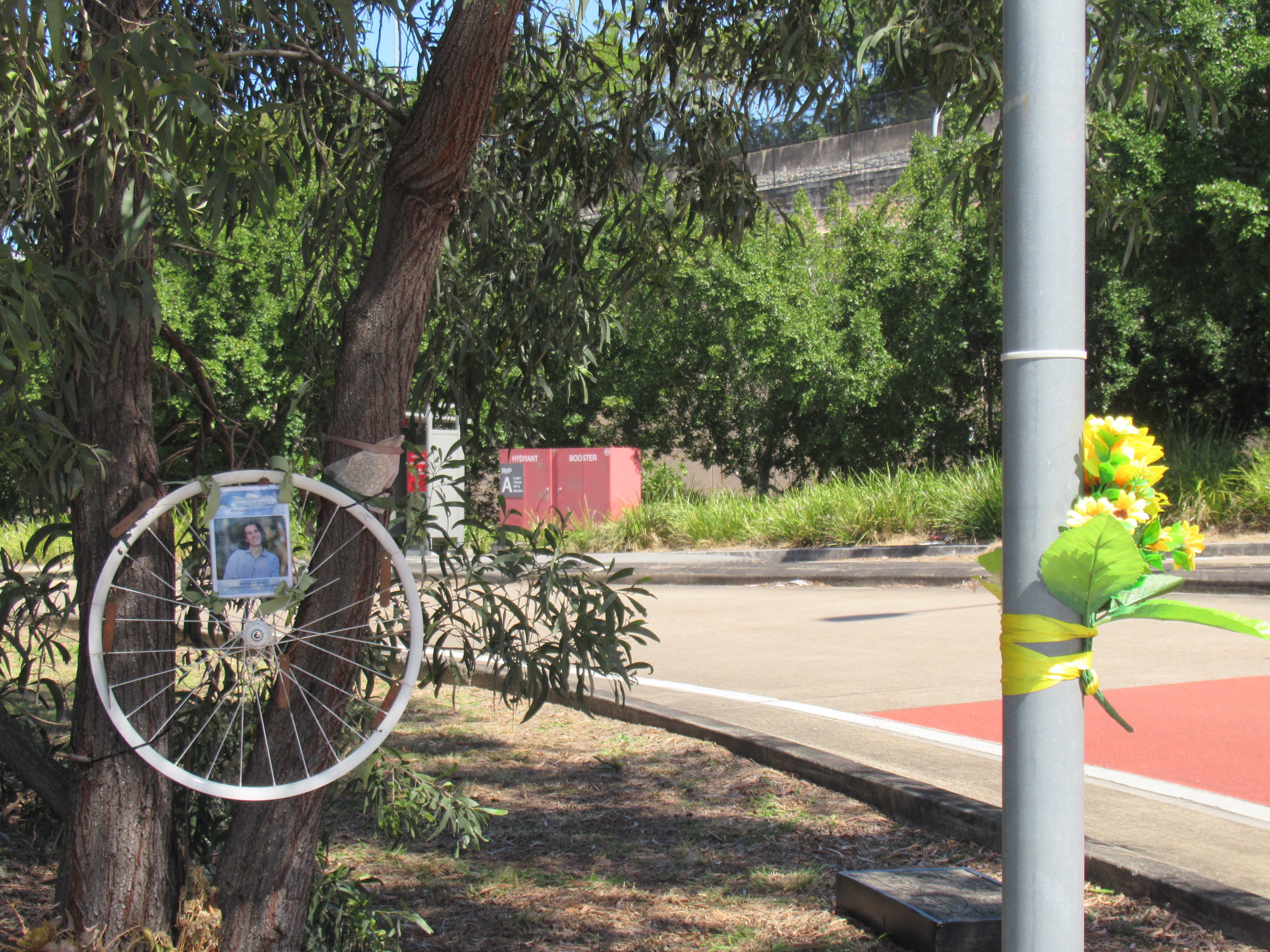
This is extremely concerning, since providing a right turn lane on O’Keefe St would likely preclude providing a dedicated left turn for buses into the busway to protect against future incidents like that which caused the death of Max McDowall earlier this year. Intersection “upgrades” should never be permitted to prioritise traffic “flow” ahead of safety for people walking and cycling.
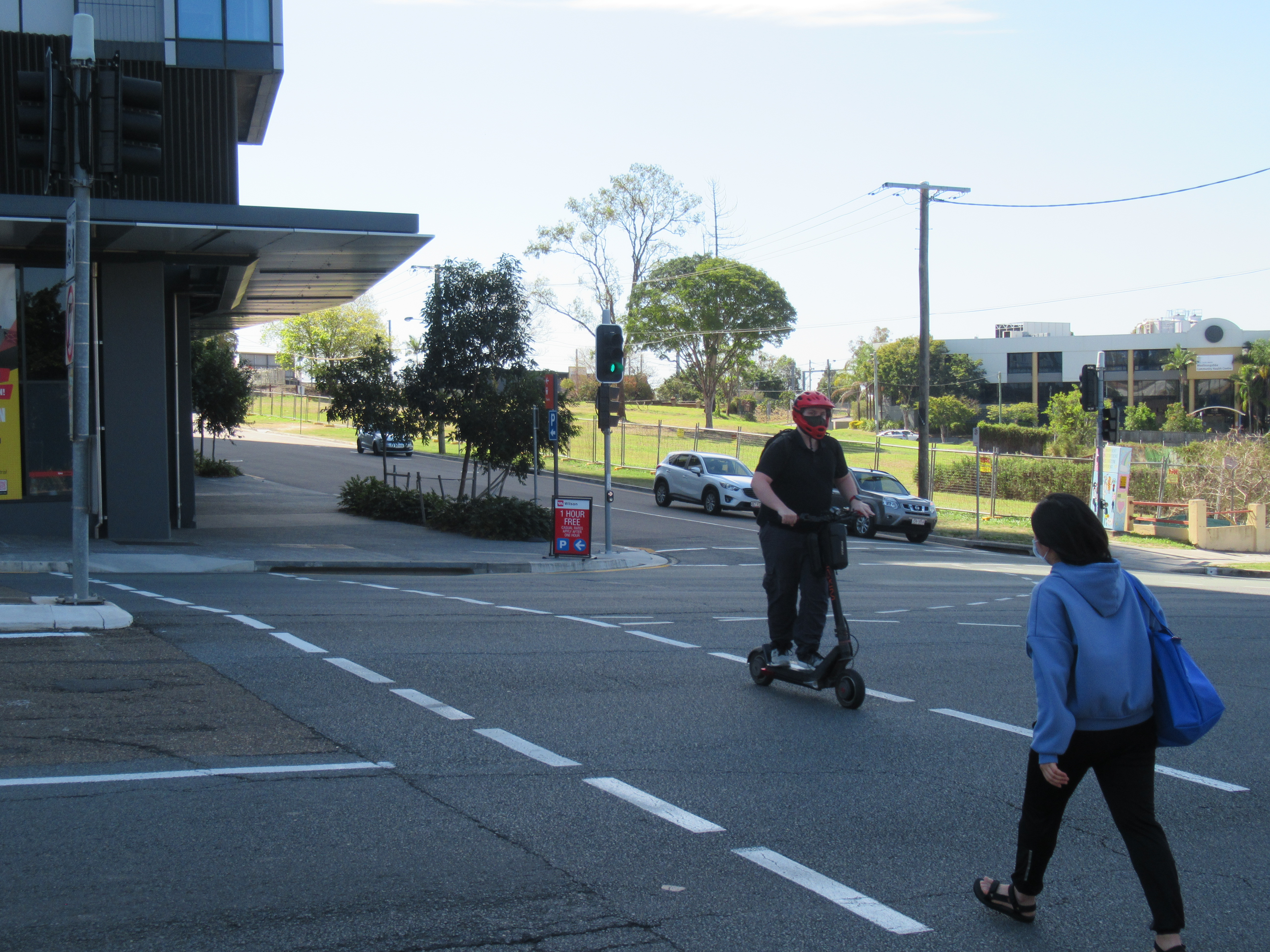
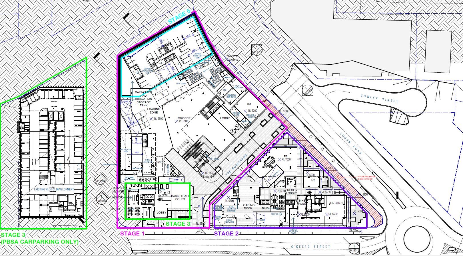
Site Permeability
As we’ve discussed previously, the development site includes a parcel of land adjacent to Buranda Railway Station that is owned by the Queensland Government, and is zoned for Transport Infrastructure. It was previously possible to use the ramps on this land to walk or cycle between Logan Road and Gillingham St without entering the railway station. We’re concerned that the planned development will build over this link without providing a good alternative.
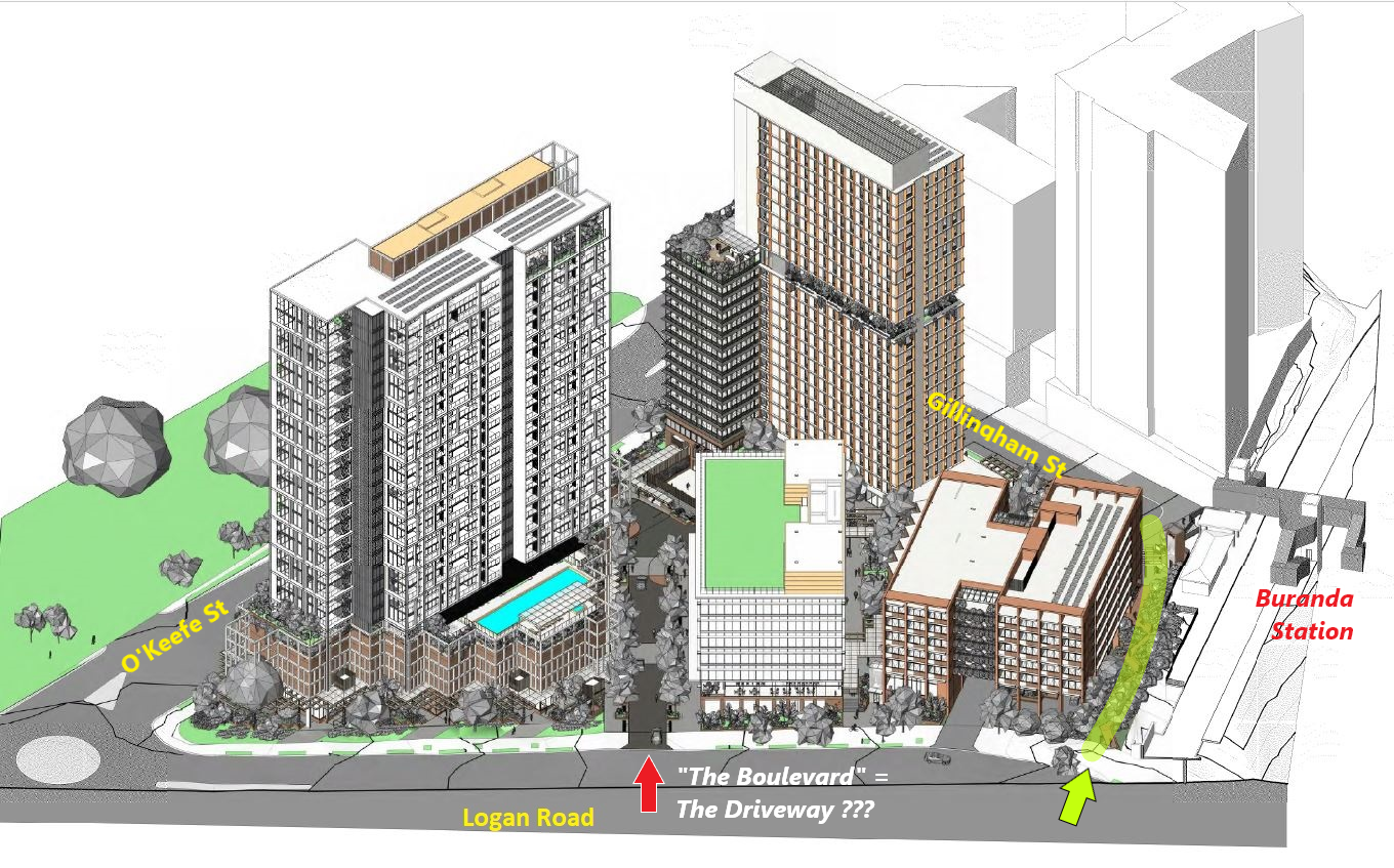
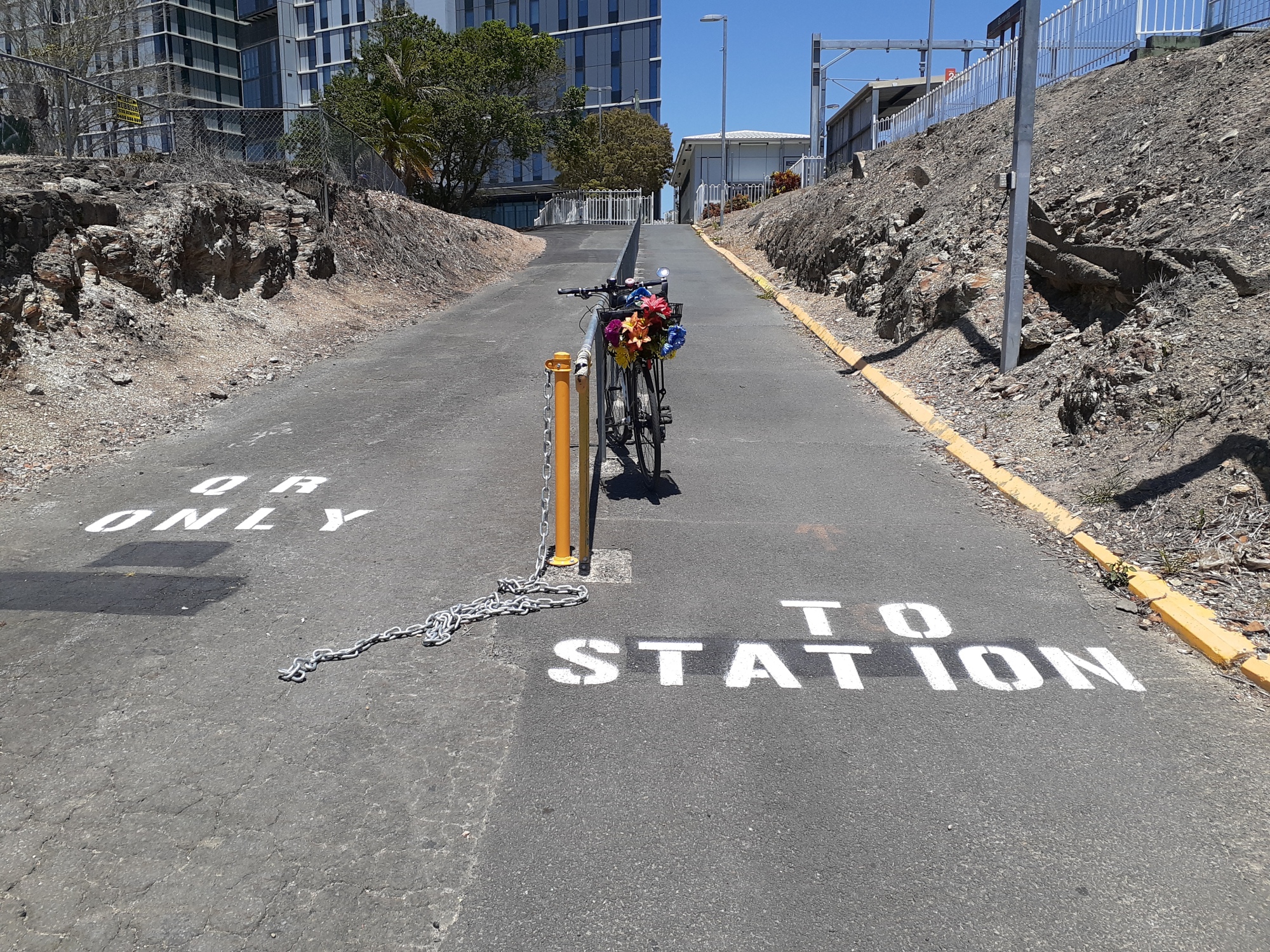
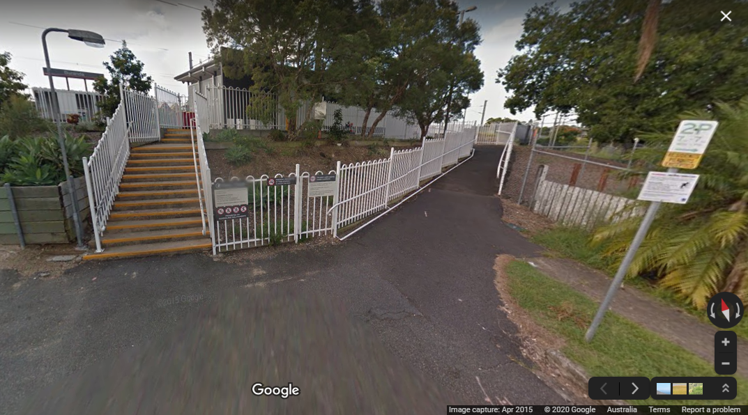

Although the plans indicate a pedestrian link across the site between Logan Road and O’Keefe St, our impression is this will be pedestrian-only at one end (not suitable for bikes or e-scooters), while “The Boulevard” connection to O’Keefe St looks like it would more accurately be named “The Driveway”.
We think it’s poor for state government agencies (in this case TMR) to plan to transfer publicly-owned land to developers without an assessment of what other value – such as an active transport link – could be delivered for the community.
We will be writing to Minister Mark Bailey protesting the plans to transfer land to private ownership rather than keeping it for active transport infrastructure.
Access and Parking
Although touted as a Transit Oriented Development, this development proposal is still focussed on car access, with four separate driveway entrances, and prioritising a car movement aspect between O’Keefe St and Logan Rd instead of the active movement aspect between the train/bus station and Stones Corner.
Although it has reduced parking (the development actually proposes lower parking than currently required under the planning scheme), it still has a lot of parking, and all those vehicles entering and exiting the site will dominate active travel movements in this area.
There’s also this little gem:
“To access the bicycle parking / ETOF, employees will utilise the stair located at the rear of the retail / commercial lift core. A smooth tread will be provided alongside the stair to allow users to wheel the bike to the basement.”
No-one would propose car parking to be accessed by stairs; and this is no more acceptable!

Links
You can find more information on this development application (A005806443) on Council’s development-i site.
