- Brisbane City Council Budget
- Lytton Road, Morningside
- Nathan, Salisbury, Moorooka Neighbourhood Plan
- Granard Road Bikeway
- Ipswich Motorway Cycleway
- Cannon Hill Bushland pathway plan
- Arana Hills Bikeway plan halted
- Gladstone Road intersection progress
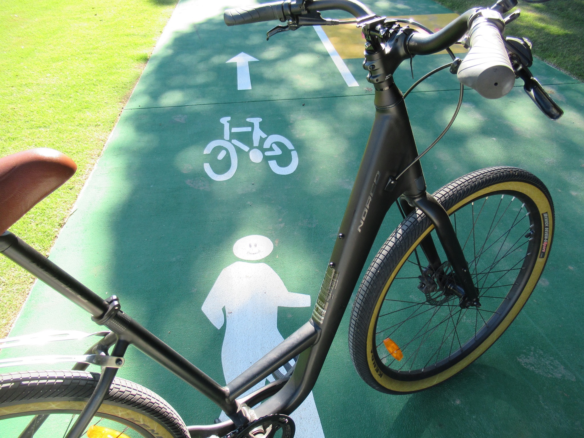
- Mysterious shapes in Woolloongabba
- Flex-post tracker
- Kurilpa Bridge speed limit
- Stephens Lane closure
- Other News
Brisbane City Council Budget
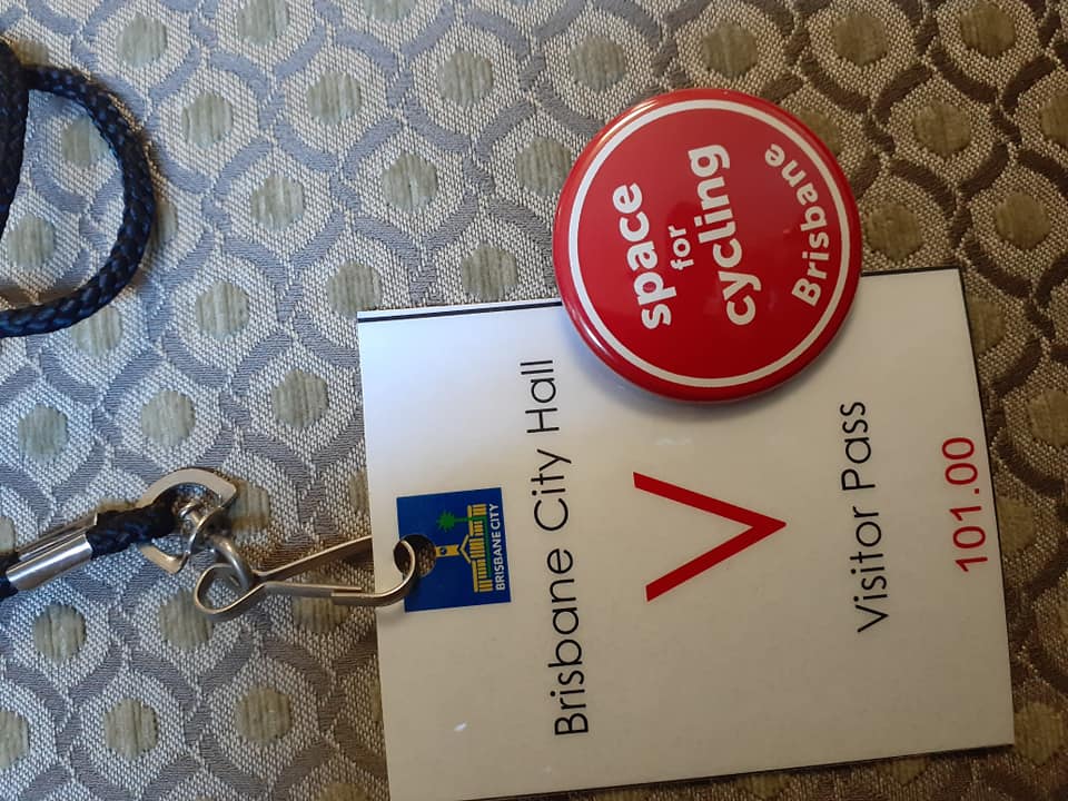
On Wednesday this week, Belinda cycled to City Hall to hear Lord Mayor Adrian Schrinner’s budget announcement. On the way, she was particularly struck by the smell of traffic fumes, and the brown fog over Brisbane. We’re usually fortunate with atmospheric conditions, but this week seemed like a reminder that we should be doing much more to cut pollution from traffic.
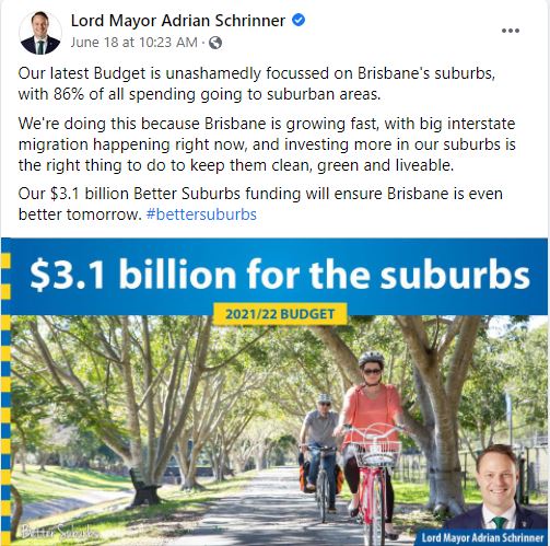
The Lord Mayor and his team are certainly talking up their investment in cross-river green bridges (and the one over Breakfast Creek), but despite the rhetoric and images of happy people on bikes, we’re not yet convinced that this latest budget really takes the the bold steps necessary towards a healthier Brisbane. We’re still working through the details, and will publish more on this soon.
On Friday, there was the first of Council’s “budget information sessions”, which is where opposition councillors can ask questions of the various portfolio chairs, and administration councillors ask Dorothy Dixers. Sometimes this teases out interesting details about projects listed in the budget.
One question we’d like to hear an answer to (but expect we won’t get it): why the spending on walking and cycling bridges in the suburbs is once again almost 100% directed to projects on the north side of Brisbane?
This year, for new bridge and culvert construction, there is:
- $560,000 for a Bald Hills Creek Connection at Bracken Ridge
- $507,000 for Idonia Street, Bridgeman Downs (plus $162,000 marked as ‘continuing’)
- $803,000 for Magura Street, Enoggera
- $43,000 for Stringybark Drive Aspley
Also, under “Bridges and Culverts Reconstruction and Rehabilitation” (which often means replacing an old pedestrian bridge), we see:
- $374,000 for refurbishment of the Bedivere Street Bridge, Carindale (which may refer to the road bridge over Old Cleveland Rd, rather than the nearby culvert bridge over Bulimba Creek)
- $1,043,000 for presumably a replacement Brickyard Road Bridge at Virginia
- $328,000 for Hawera Court Bridge Protection, Aspley
Bridge designs (which are usually followed by construction in the next year’s budget) are scheduled for
- Nathan Avenue Bridge, Ashgrove – $352,000
- Riaweena Street Bridge, The Gap – $334,000
Other than the Bedivere Street Bridge refurbishment at Carindale, the only project listed for the southern suburbs is $194,000 for removal of the bridge at Waite St, Norman Park. Presumably this refers to the old wooden bridge; although it’s hard to imagine why its removal would cost so much.

This follows years of similar investment; with great new and replacement walking/cycling bridges on the north side, but nothing for neglected connections across Perrin Creek, Bulimba Creek, Bridgewater Creek, Lota Creek, Stable Swamp Creek, Rocky Water Holes Creek, Oxley Creek, and many others on the south side.
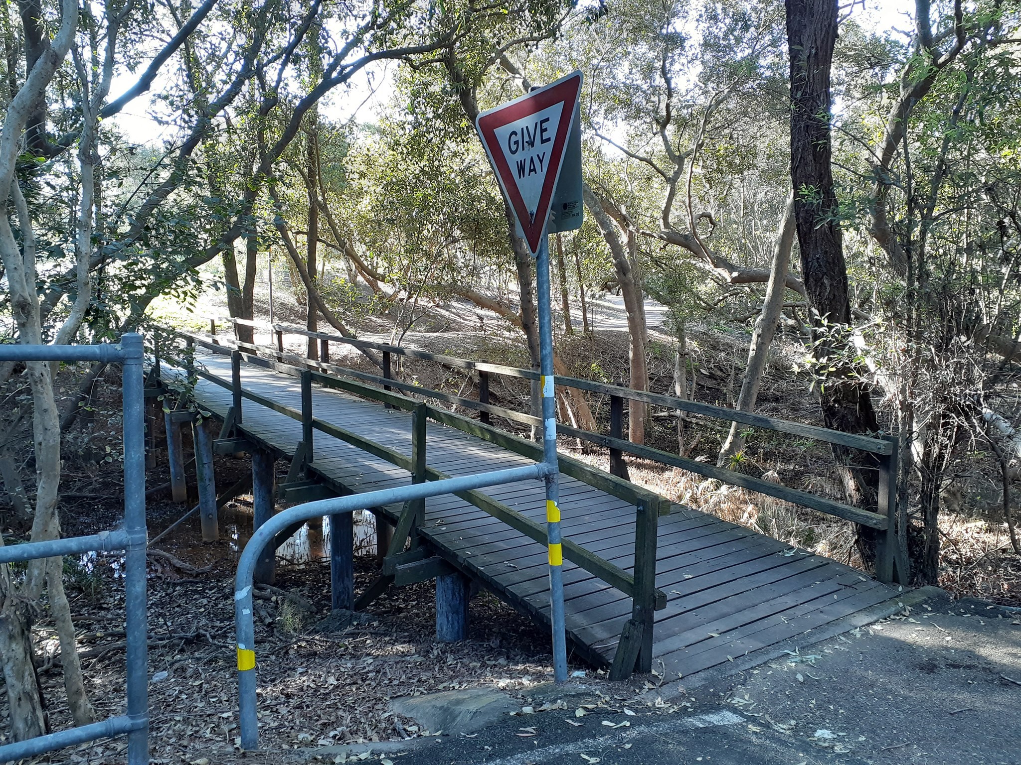

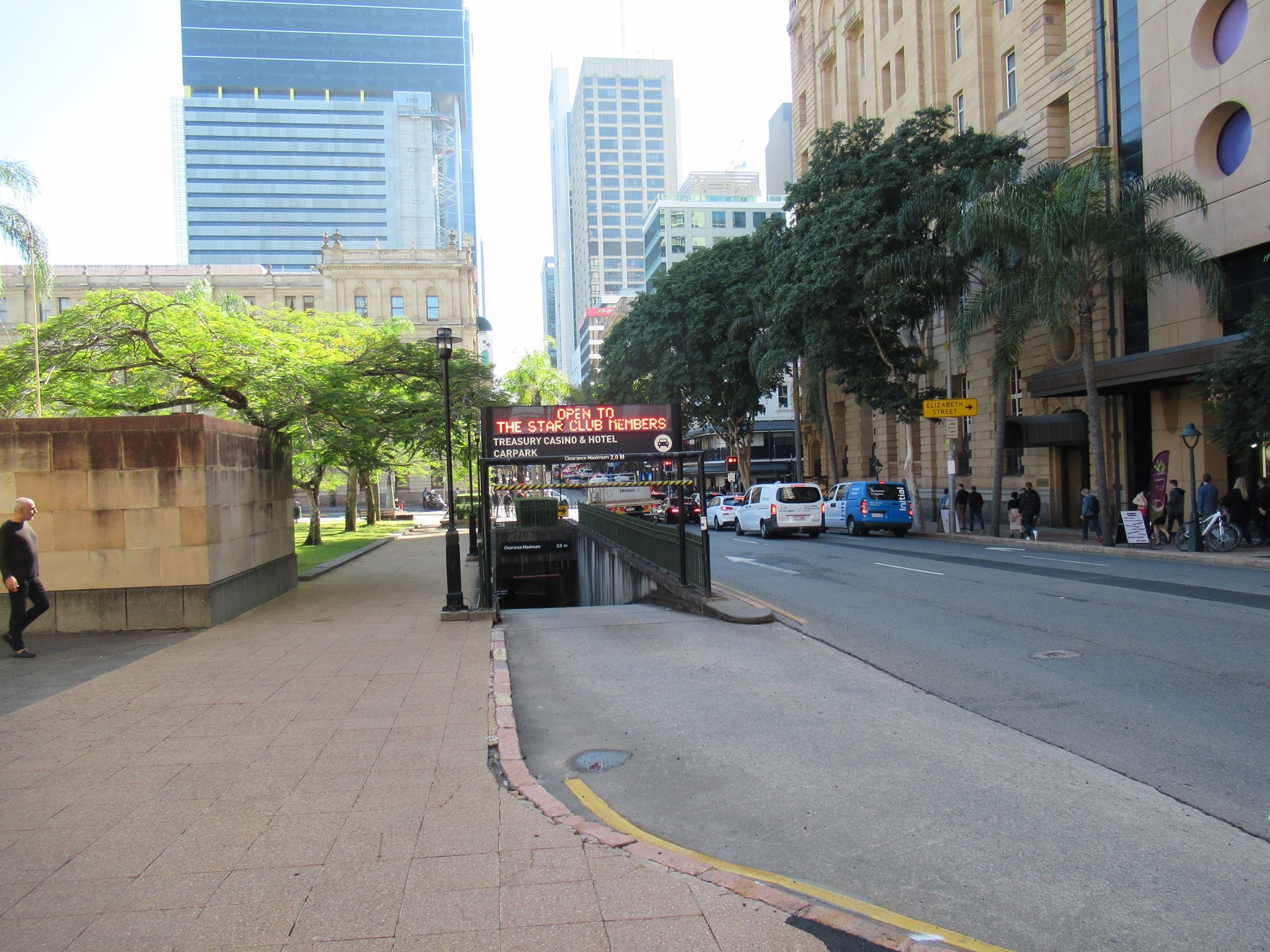
Lytton Road, Morningside
A bridge over Perrin Creek at Morningside would give more people an option to avoid Lytton Road, where the bike lanes—such as there were—have been removed to create a right-turning lane into Riverside Place. This is a principal cycle route. Would you ride here? Would you let your children ride to school, or to the pool or the park?
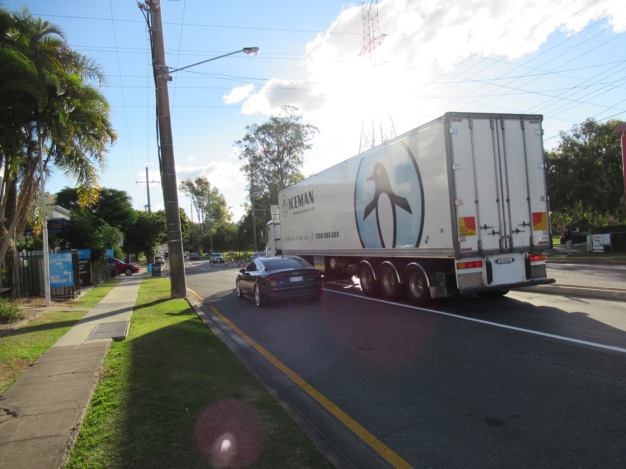

There are also no facilities to assist pedestrians to cross the road. Frogger anyone??
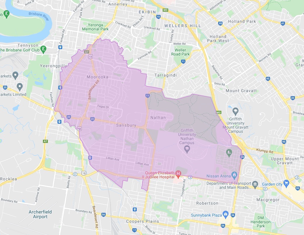
Nathan, Salisbury, Moorooka Neighbourhood Plan
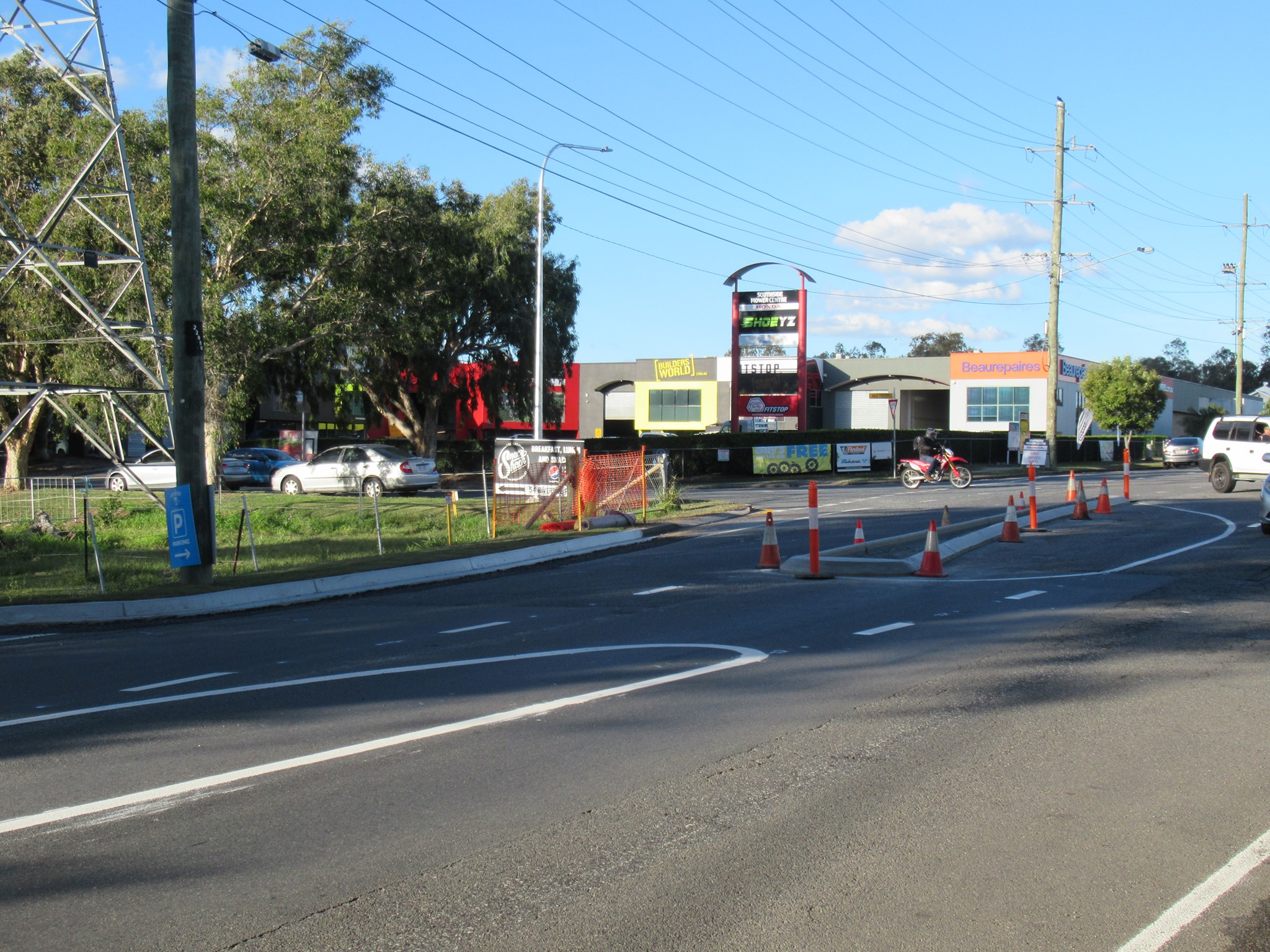
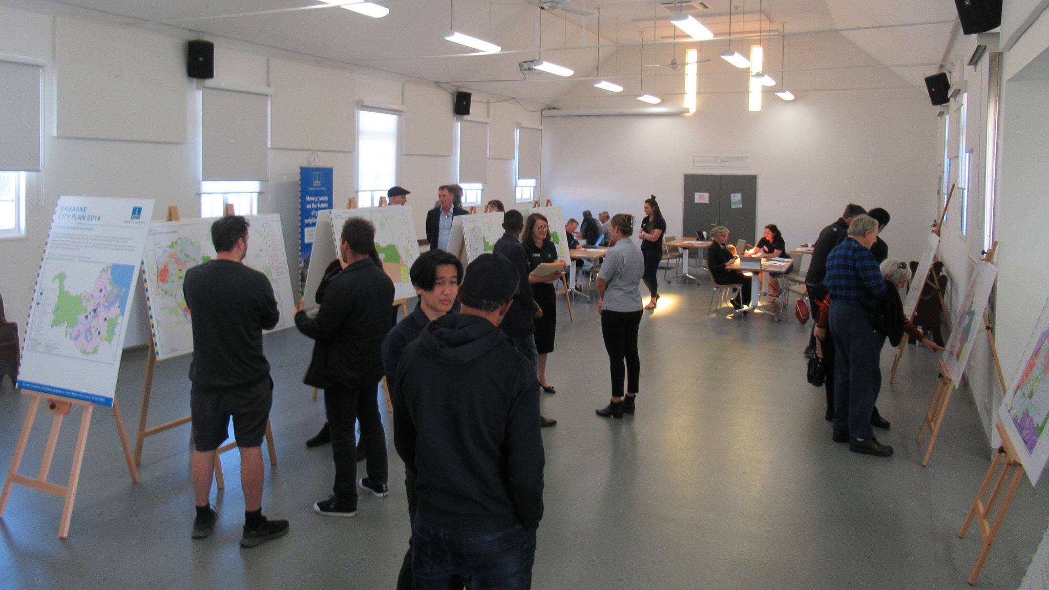
Council are currently developing a new neighbourhood plan for Nathan, Salisbury and Moorooka Neighbourhood Plan. One of the key proposals is to permit high density residential development along Ipswich Rd, Moorooka – traditionally the “Magic Mile” of car yards.
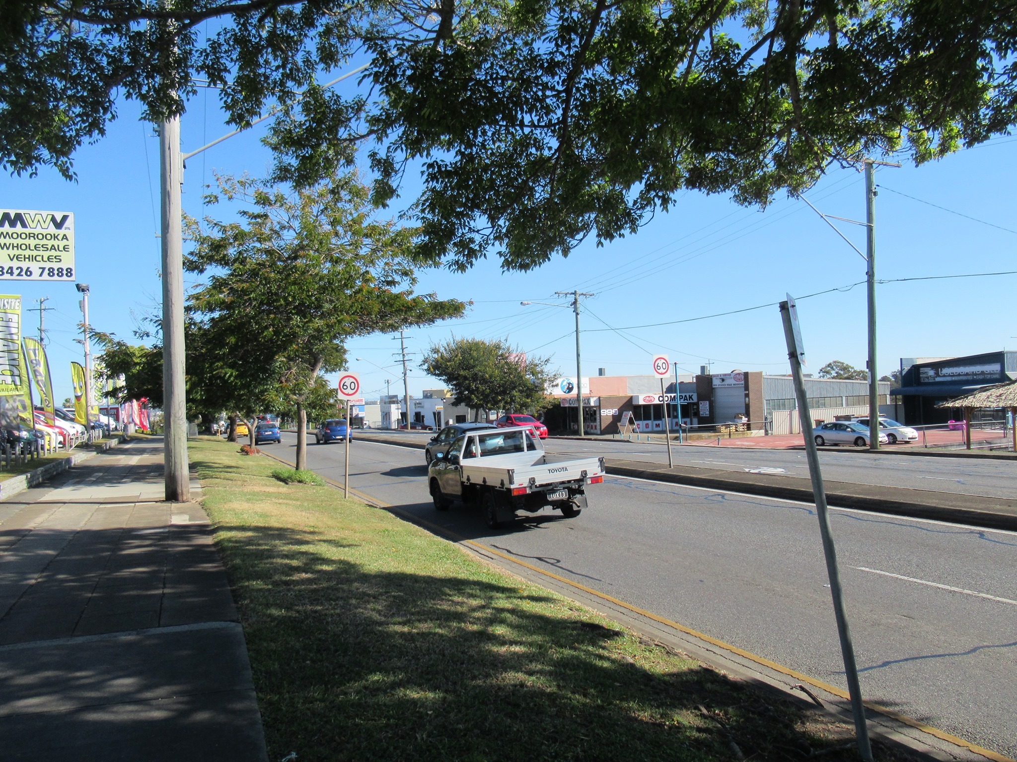
Neighbourhoods change over time, and it’s important that transport facilities keep up; in particular links that make it safe and pleasant to ride a bike and to walk to local destinations and to public transport. There was a good turn-out on Saturday to Council’s information session at the Moorooka Community Centre. Belinda went along to talk about active transport connections; these shouldn’t be an afterthought or a “nice to have”.
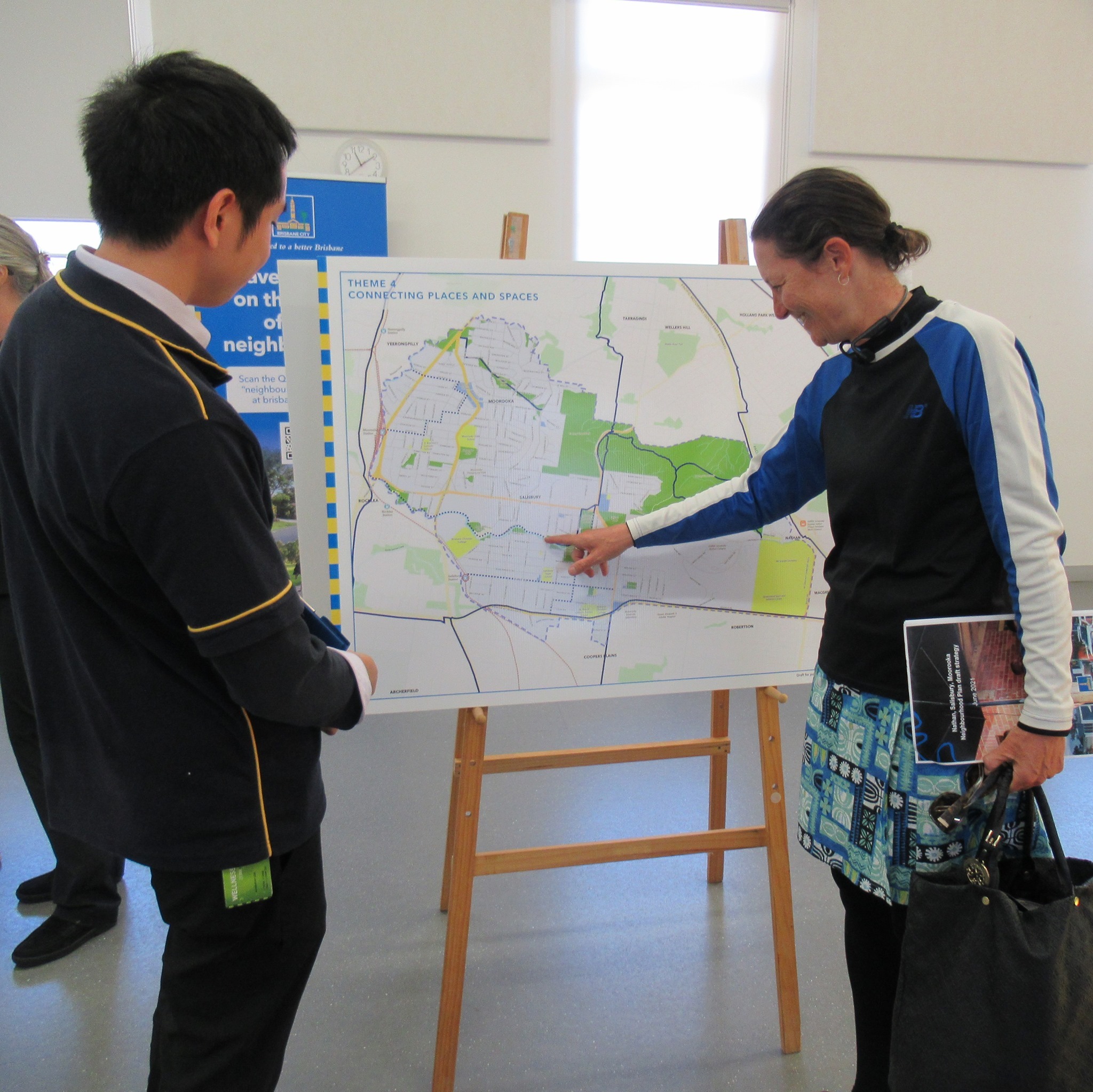
We’re a bit concerned to see cycling discussed in the draft strategy as “active recreation”. Recreational opportunities are important for liveable neighbourhoods, but cycling is transport.
Eg. Point 4.2.1 of the draft strategy currently says “Explore options for incorporating safe cycling facilities, without impacting efficient access to properties, along Ipswich Road.”
We think better wording would be “Plan options for incorporating effective and efficient cycling facilities, while ensuring safe access to properties, along Ipswich Road and Beaudesert Road.”
Other things we’d like to see in this neighbourhood plan:
- the Rocky Water Hole Creek Bikeway constructed
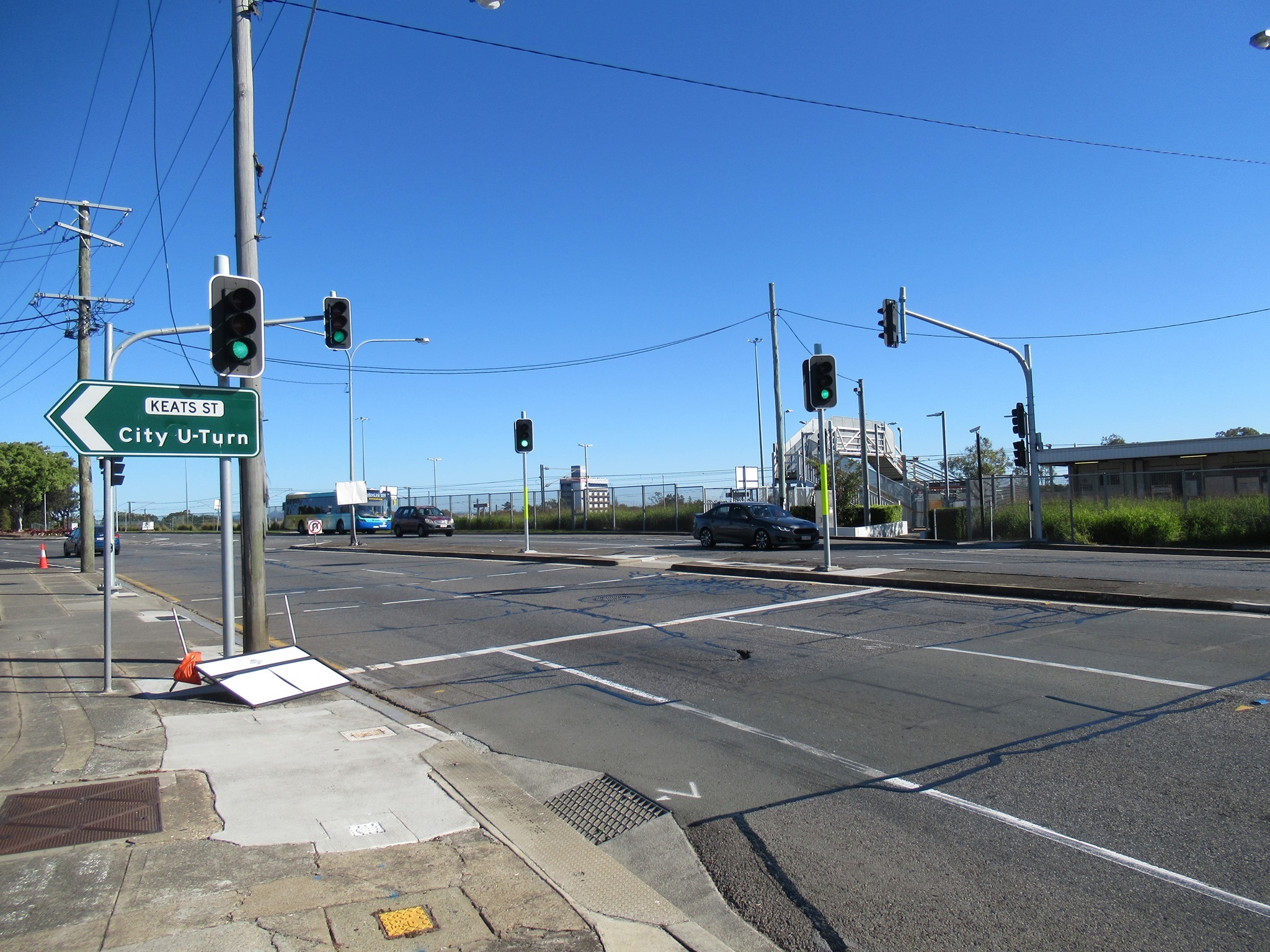
- access to Rocklea Station from Muriel Ave, with upgrades to Peter Scott Park
- improvements to Beaudesert Road and Ipswich Road to make them safe for cycling
- connections to the Granard Rd Cycleway (to Ipswich Mwy Cycleway);
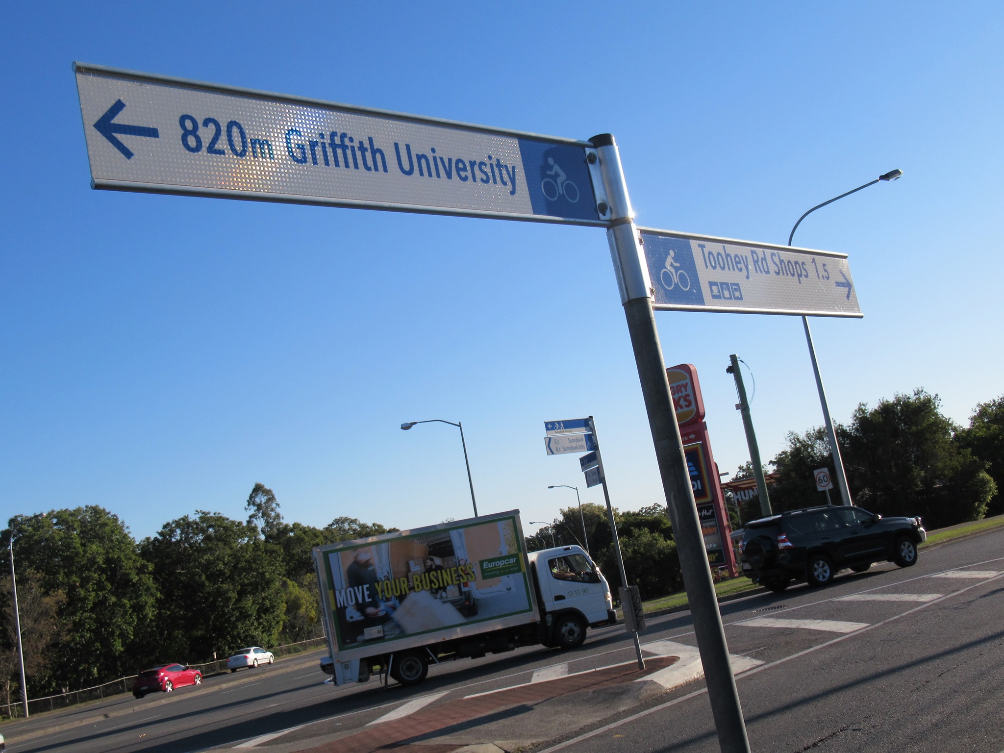
- improved connections to Griffith University and the Veloway
- improved walking and cycling connections to Moorooka Station
- safe pedestrian crossing points on Muriel Ave and Evans Road
- quality cycling and walking connections to Sherwood Rd, Rocklea and the employment hub around the Brisbane Markets
You can have your say online until Monday 12 July 2021.

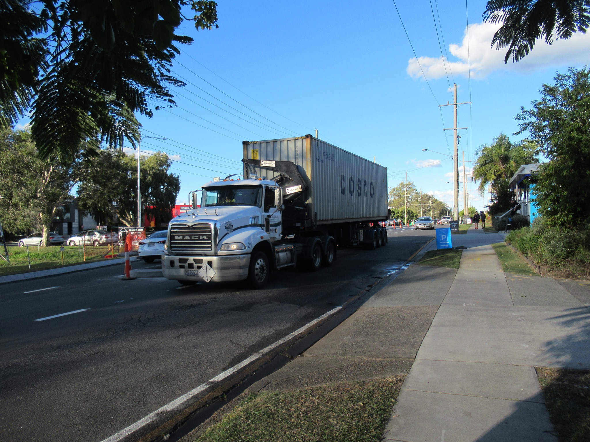
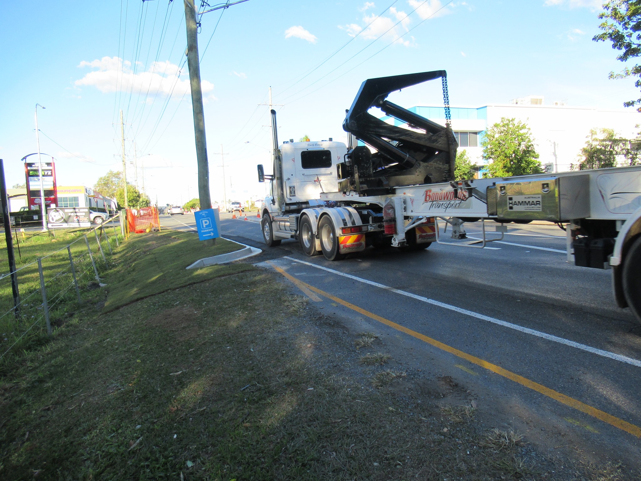
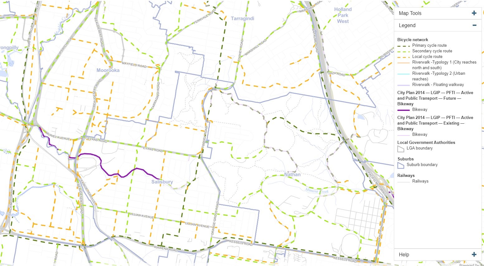
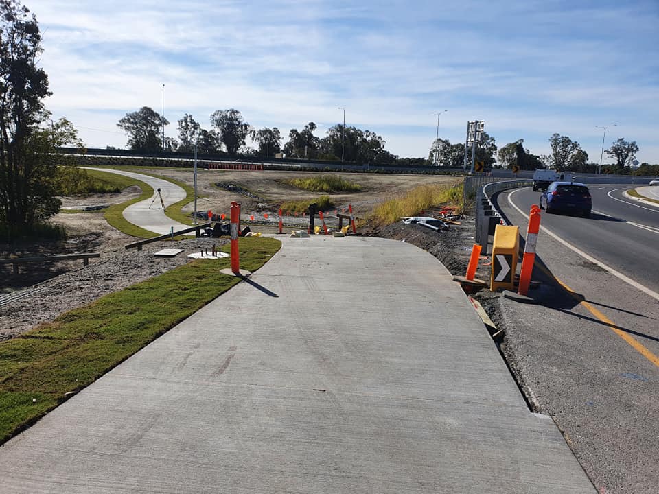
Granard Road Bikeway
Nearby, the Granard Road Bikeway, connecting the Ipswich Motorway Cycleway to Balham Rd, Rocklea looks like it will be finished very soon. This will create a much-needed connection on the south-side, putting employment opportunities within reach of more people by cycling and walking.

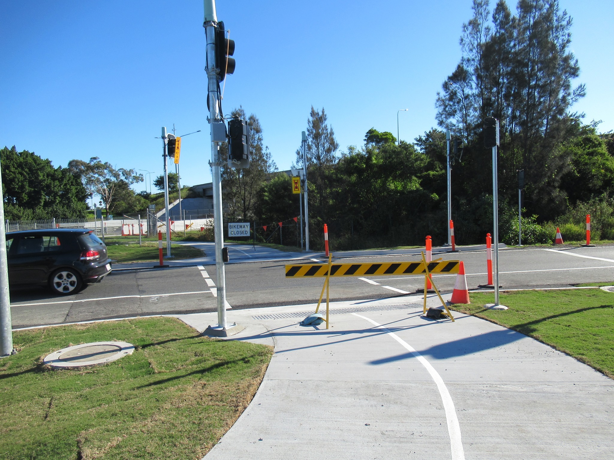

We were hoping the state budget would include further funding to continue the bikeway east to connect up with the Salisbury Bikeway along Riawena Rd. We’ve also been lobbying for the Ipswich Mwy Cycleway to be extended north to Sherwood Road.
Of course links like this don’t just happen by magic. We’re determined to be the squeaky wheel, reminding decision-makers that people want to take healthy transport options, but they need safe infrastructure, and it needs to connect where they want to go.
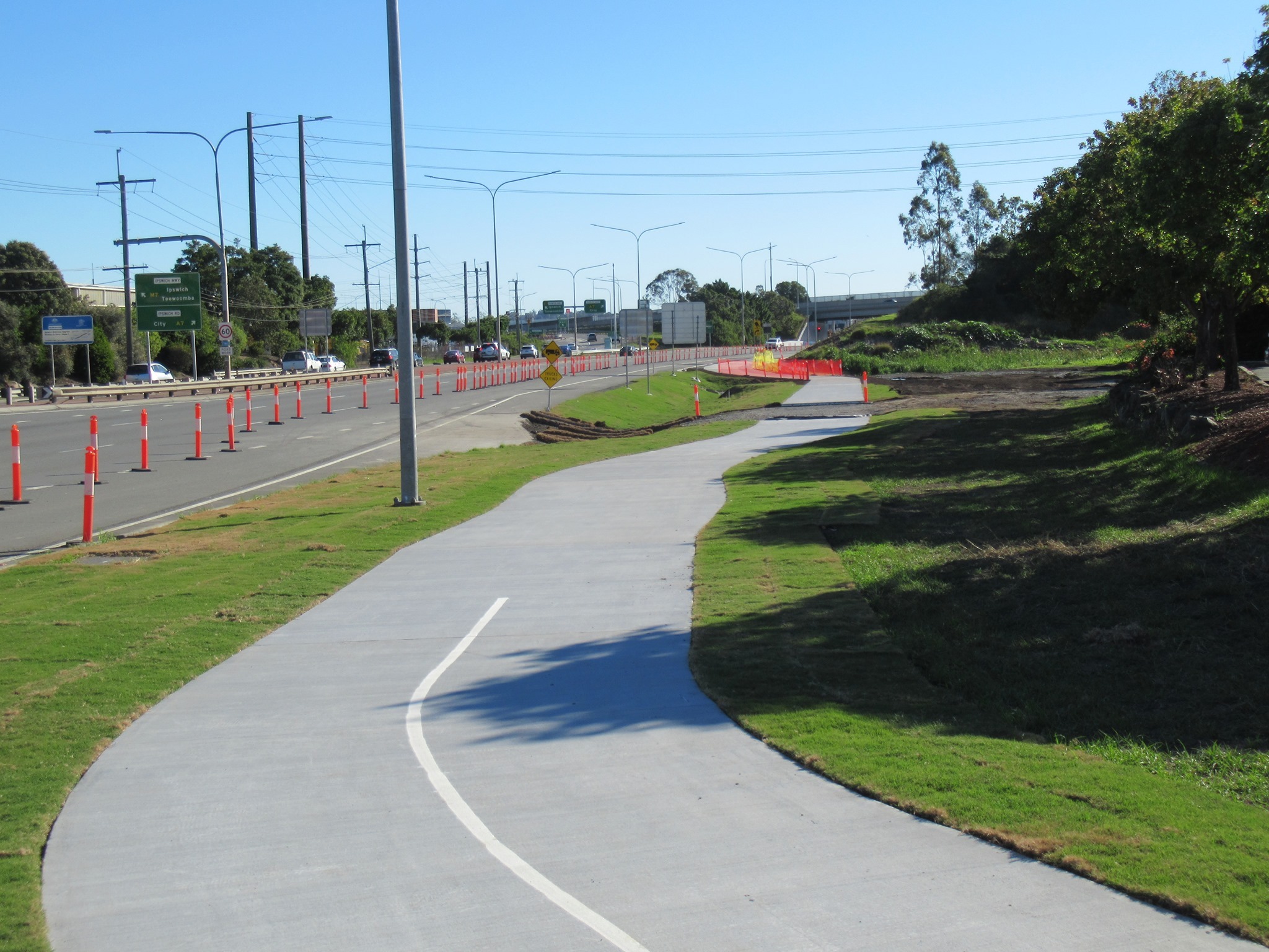
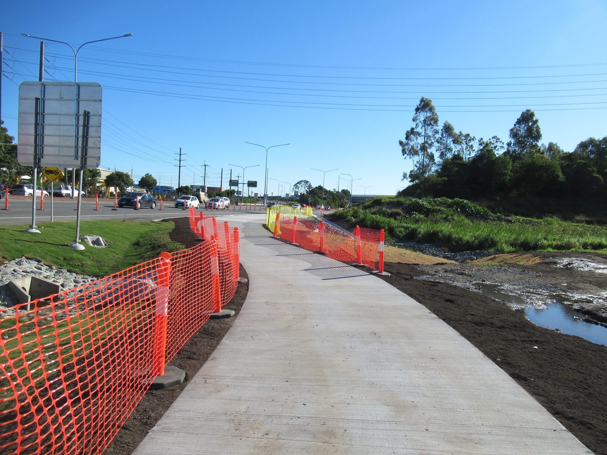
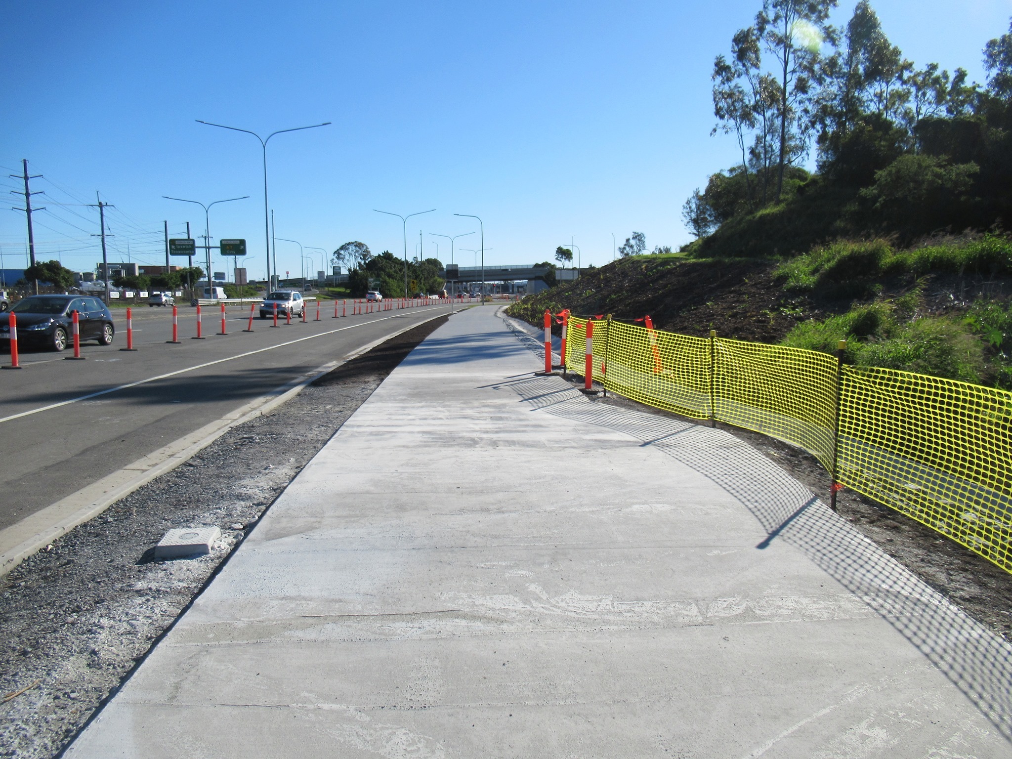
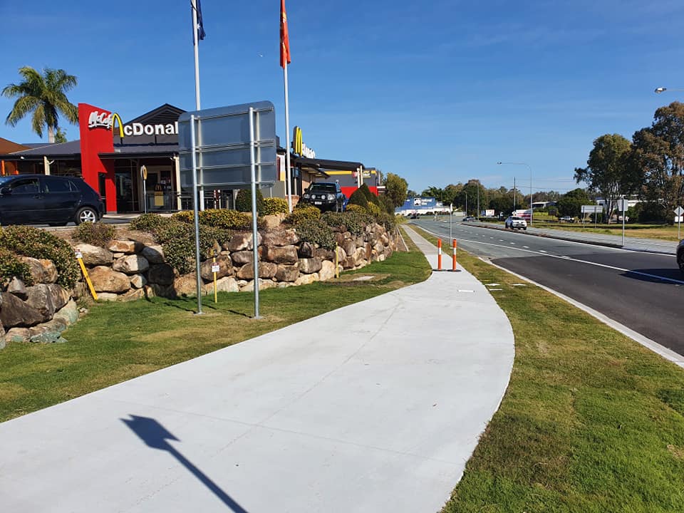
Ipswich Motorway Cycleway
One of the last parts of the Ipswich Motorway Upgrade to be completed is a new shared path between the Oxley Creek underpass and McDonald’s, Oxley. Quite literally it ends at McDonald’s, and if you want to proceed to Bunnings or other local shops you’ll need to get onto Factory Road Loop. This last section of path will be open very soon.


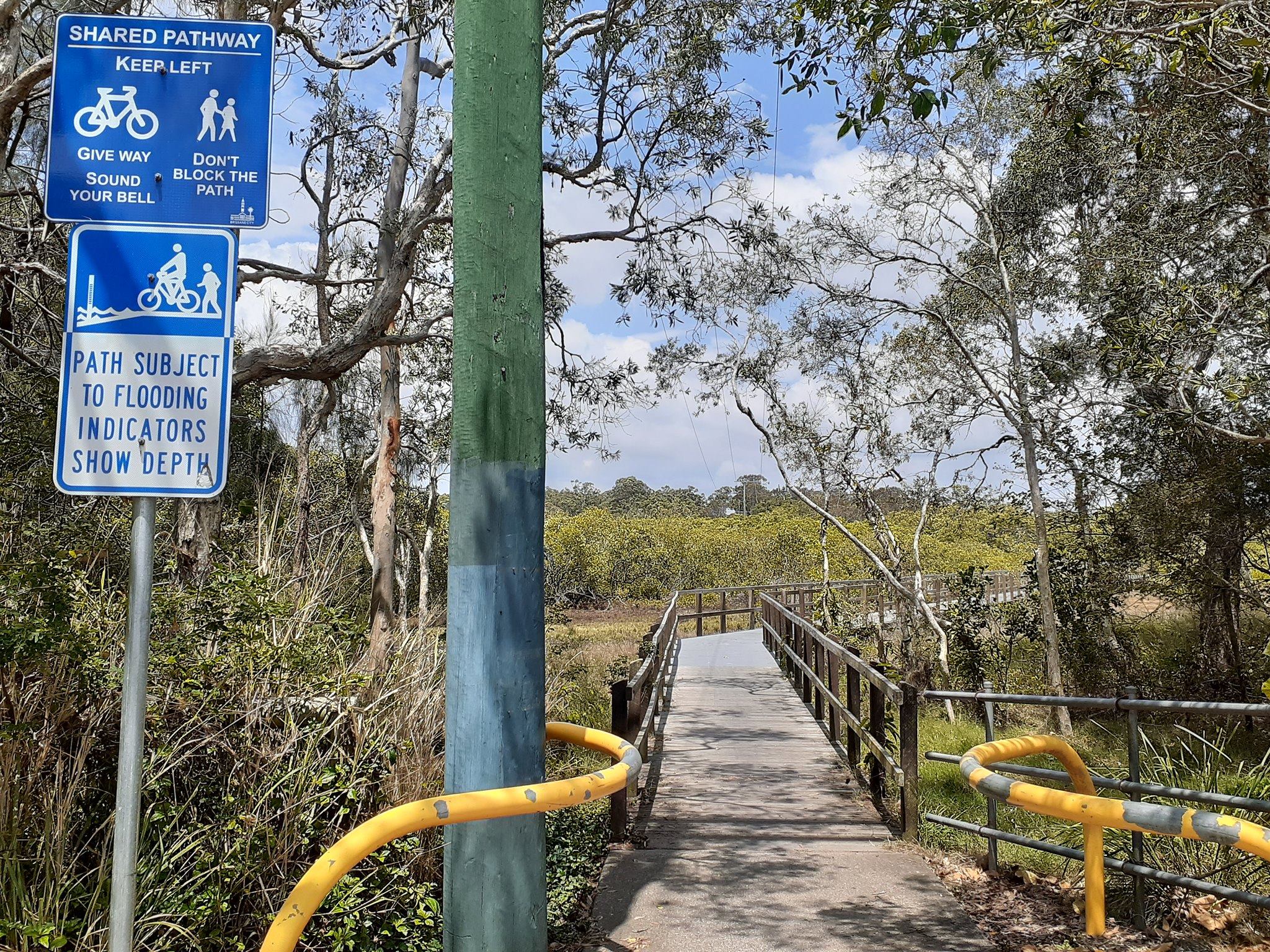
Cannon Hill Bushland pathway plan
On Thursday morning, Belinda walked into a secluded urban forest with a couple of strangers—including a man with an axe—who are unhappy about plans for a bikeway. 😱
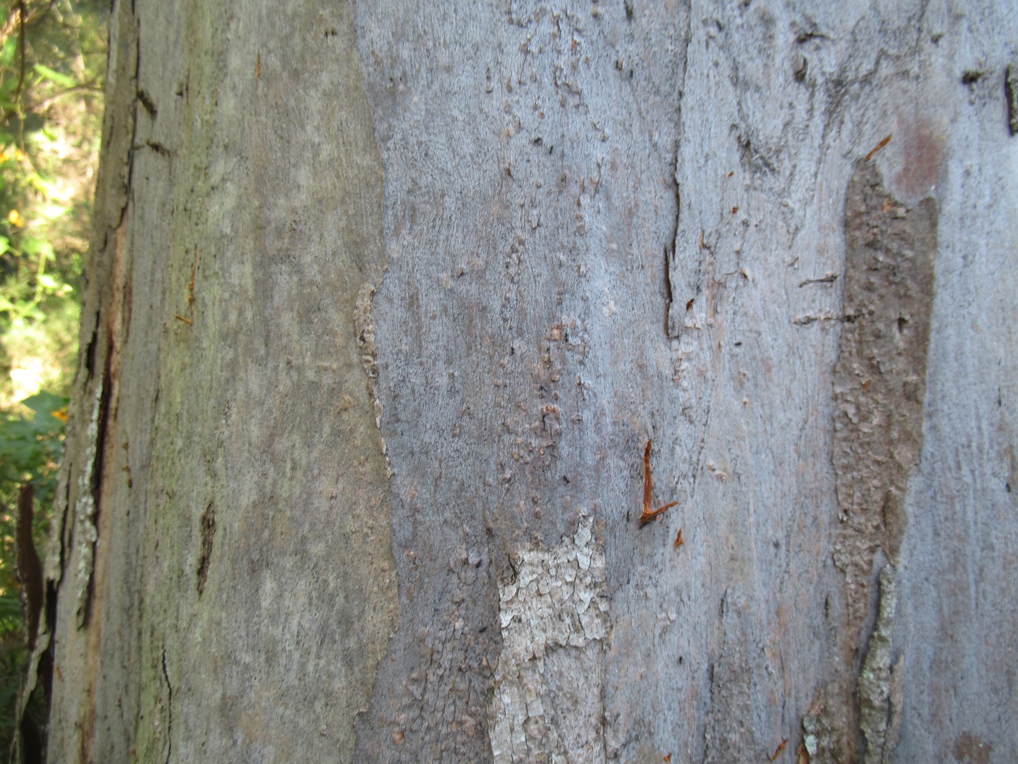
Actually Leith and Barry from the Cannon Hill Bushcare Group are lovely 🙂 But they’re really concerned about the plans they have seen from Council for the path connecting from Wynnum Rd to Creek Rd behind the Cannon Hill shopping centres and Monte Carlo Caravan Park. Those plans would require removal of around 100 mature trees and severely impact areas of bushland that they have rehabilitated from a rubbish-filled and weed-infested mess over 15 years. The trees in the firing line include some very old gums with fresh evidence of koala scratching (you can see the marks the koalas make as they hug the tree to climb it).
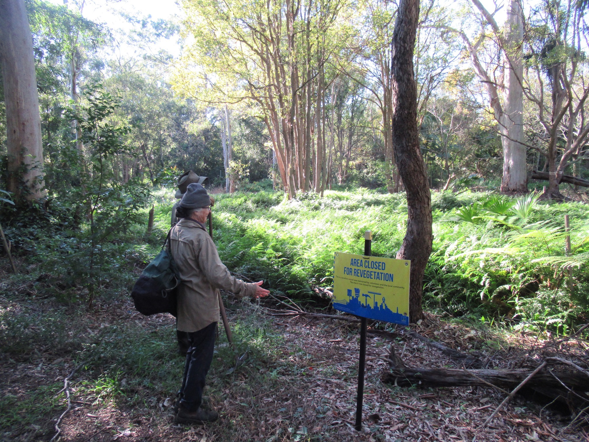

We were all struggling to see why it would be necessary to do so much clearing of vegetation to put a shared path through, given that there is already an access track which is used by maintenance vehicles—and quite regularly by people on bicycles.
There are a couple of engineering challenges on the corners behind Aldi (where the sight line would not be good around the edge of the wall, and the terrain falls away about 6m from the property boundary), and behind Bunnings (where there is a storm-water drain which carries a huge volume of water from the warehouse roof and carpark area when it rains). But the latest proposal by Council seems to us to be over-engineered for the function of this path. Essentially, the proposed path is a handy local link which will be very helpful for some commuters, but shouldn’t replace Wynnum Rd as the primary transport corridor.


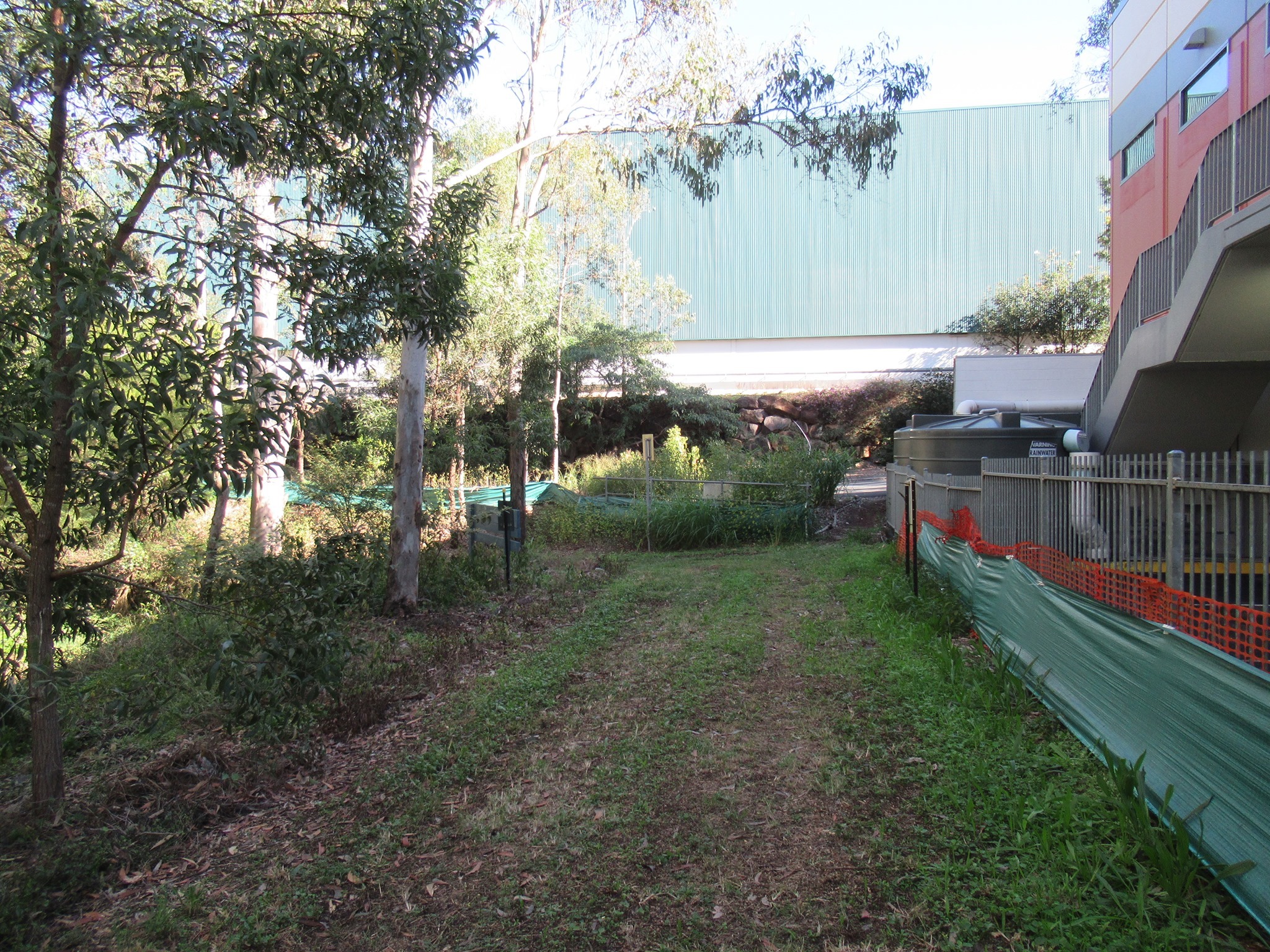
We’re obviously keen for a good-quality path, and indeed questioned why the initial proposal was for a 2.5m shared path, rather than 3.0m. But we also understand the need for reasonable compromises on path curvature, gradients, etc in the interests of protecting valuable trees and bushland—especially in an area like this which is a known habitat for koalas and squirrel gliders.
Further discussions are scheduled next week—including with council engineers and local councillor Cr Lisa Atwood—and we’re hopeful a good outcome can be achieved.
Thanks to Leith and Barry for getting in contact with us to talk through their concerns—without using the axe ![]()
Arana Hills Bikeway plan halted
Across town, Brisbane North BUG report the disappointing news that the proposed Harry Evans shared pathway that would have created a safe and separated link for people from Arana Hills to access the Kedron Brook Bikeway will not proceed.
We understand that the loss of a minimal number of trees and some negative feedback was the reason for this. While we also love trees and would prefer no trees to be removed we firmly believe the benefits of getting people out of cars outweigh the short-term loss. Perhaps an earlier discussion between the local bush care experts, and bikeway planners and potential users could have helped that situation?
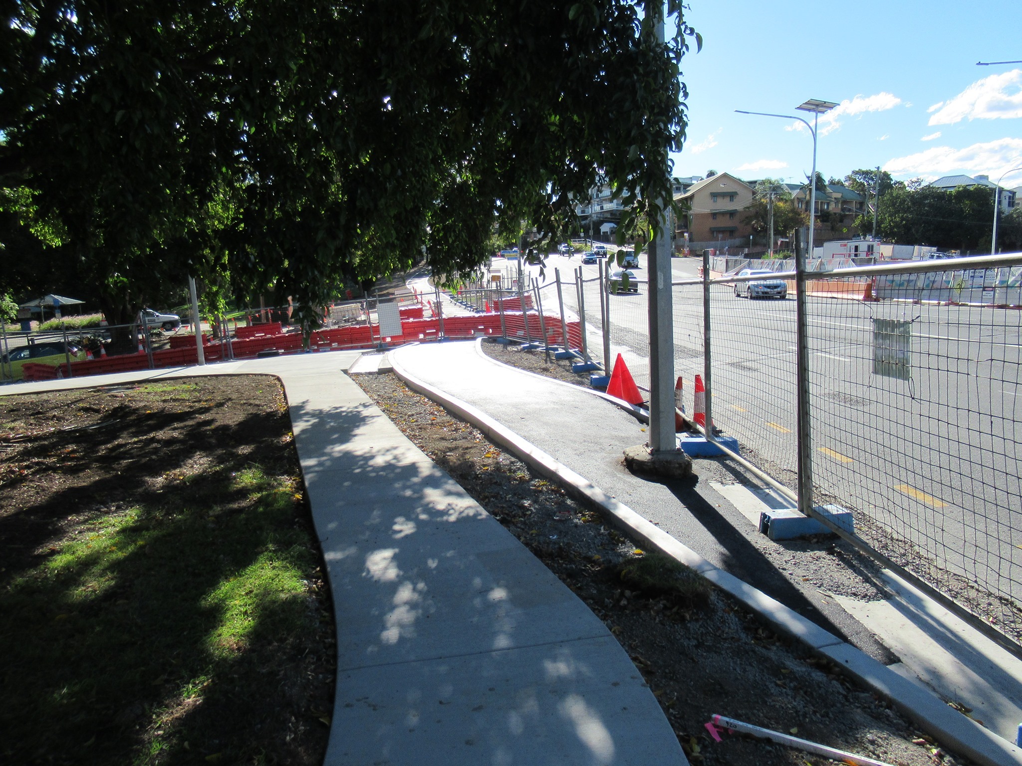
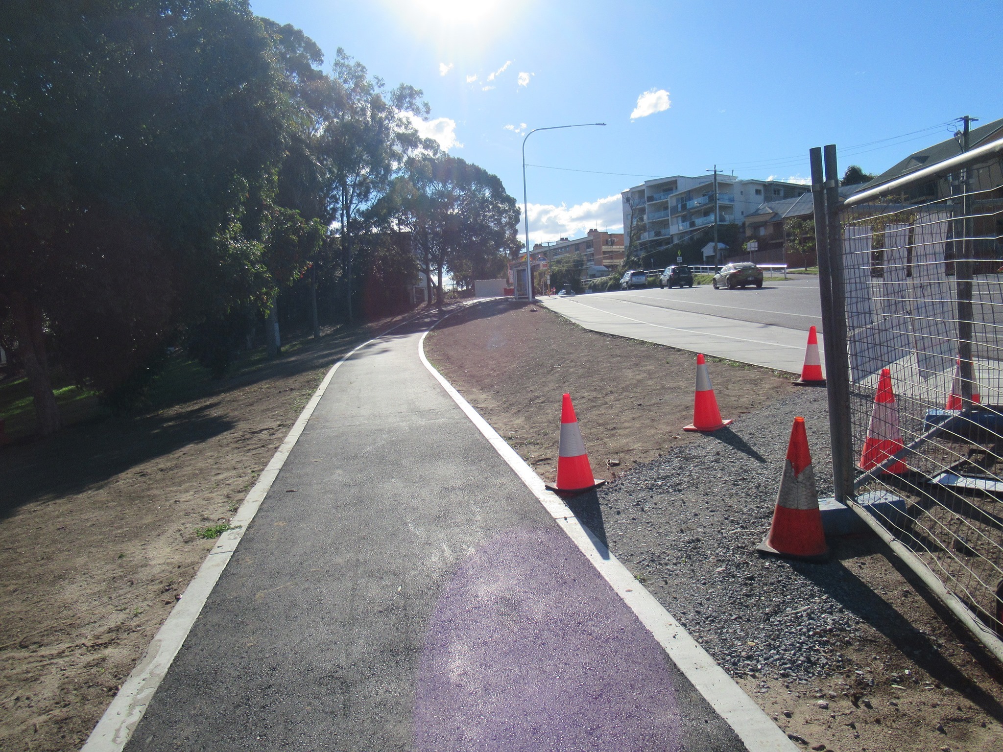
Gladstone Road intersection progress
Restricted construction hours make it seem like it’s crawling along, but it’s still exciting to see the shape of the separated cycling facilities emerge at the intersection of Gladstone Road and TJ Doyle Memorial Drive, Dutton Park.
(We can confirm that the one-way cycle lane shown here is 2m wide – not including the concrete edging.)

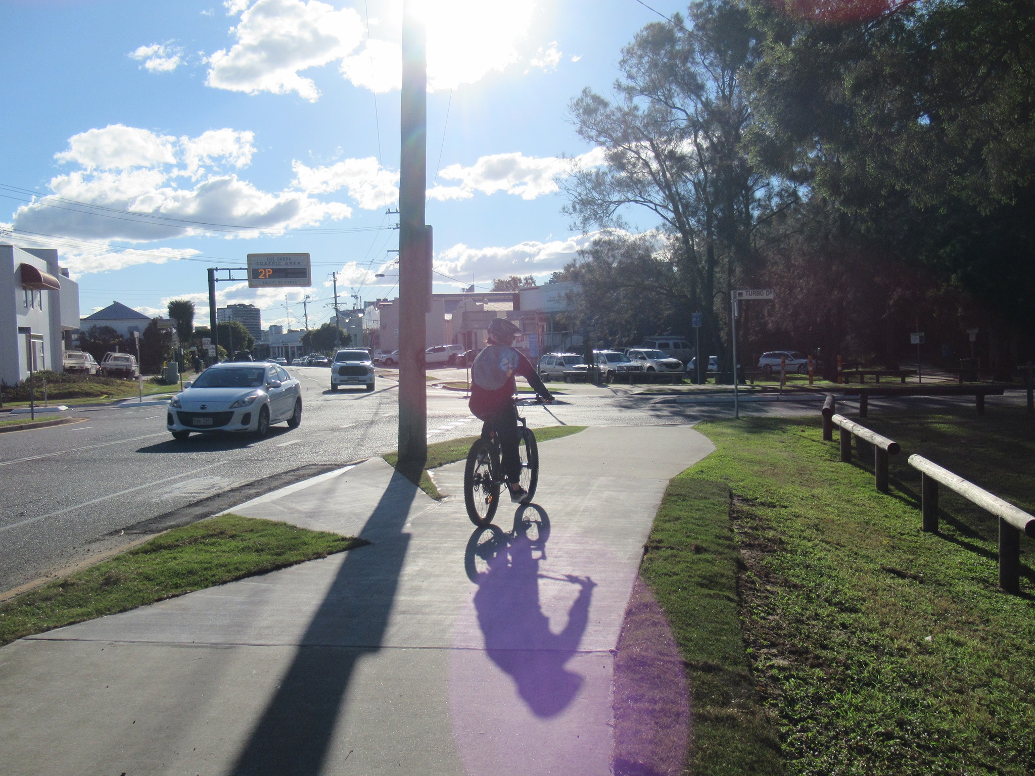
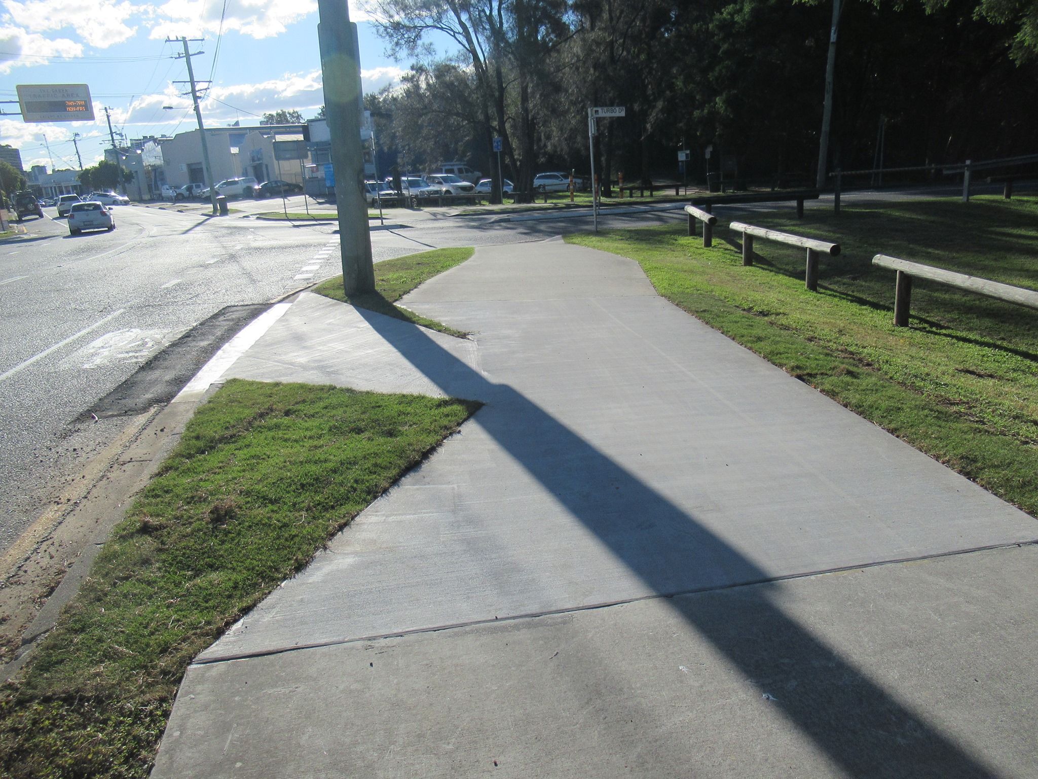
Mysterious shapes in Woolloongabba
We’re a bit mystified by the geometry here on Main Ave (Deshon St) Woolloongabba. The ramp allowing cyclists to transition from the road to the shared path just after Turbo Drive is good, but why has the path been narrowed with the grass wedges?
(If the answer is “we can’t have a dip in the shared path”, we can point out a few hundred driveway crossovers where that’s apparently not a problem…)
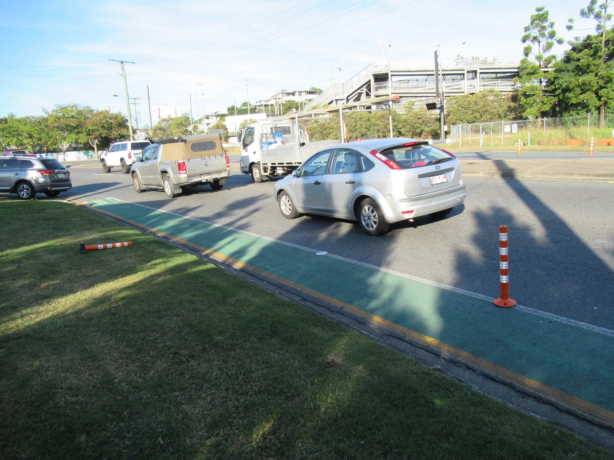
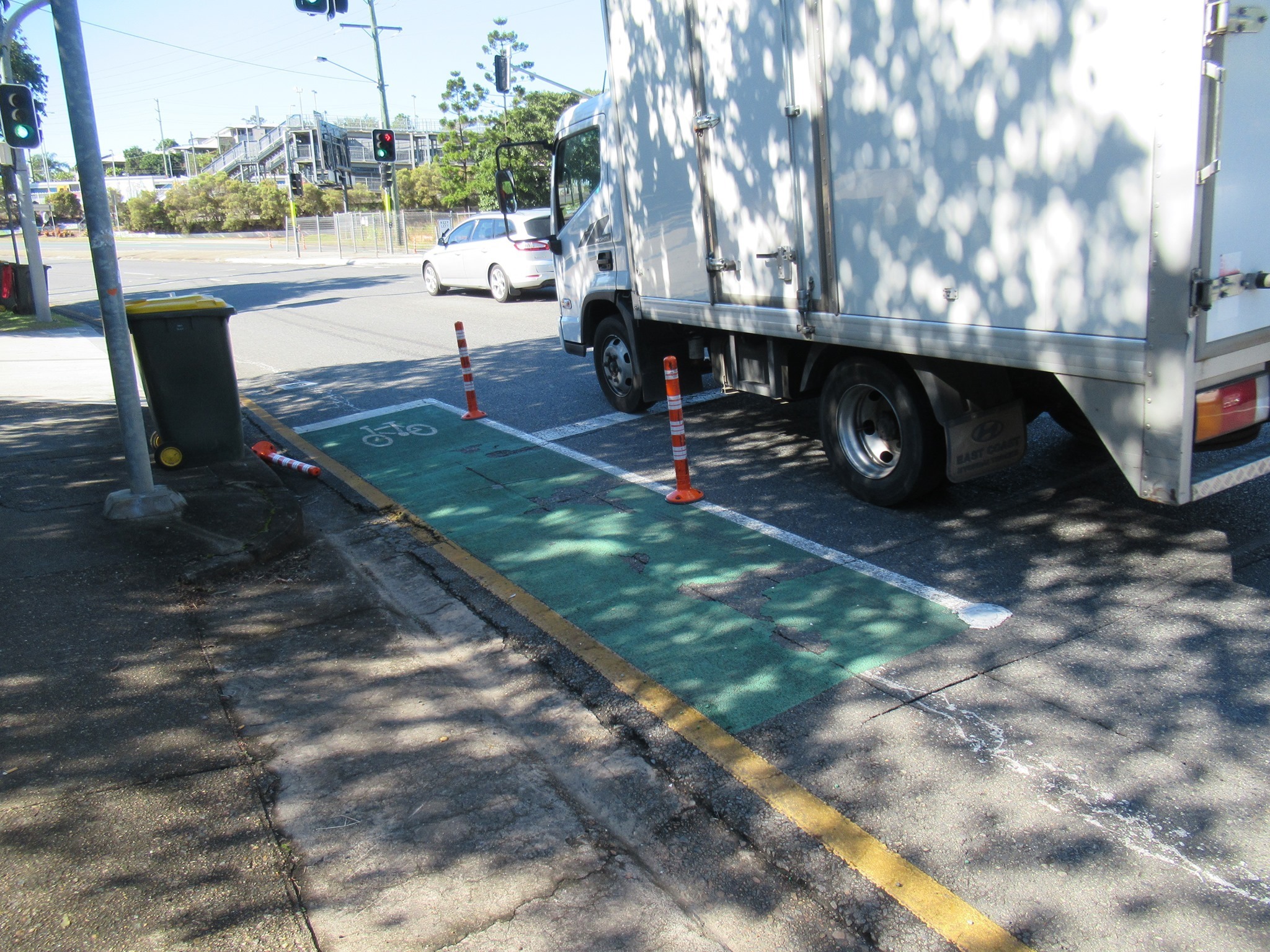
Flex-post tracker
An update from East BUG on the flexi-bollards at the intersection of Wynnum Rd and Jack Flynn Memorial Drive in Morningside: after standing up valiantly for a fortnight, and taking hit after hit, two of the little plastic posts have succumbed. RIP. How long can the rest hold out?
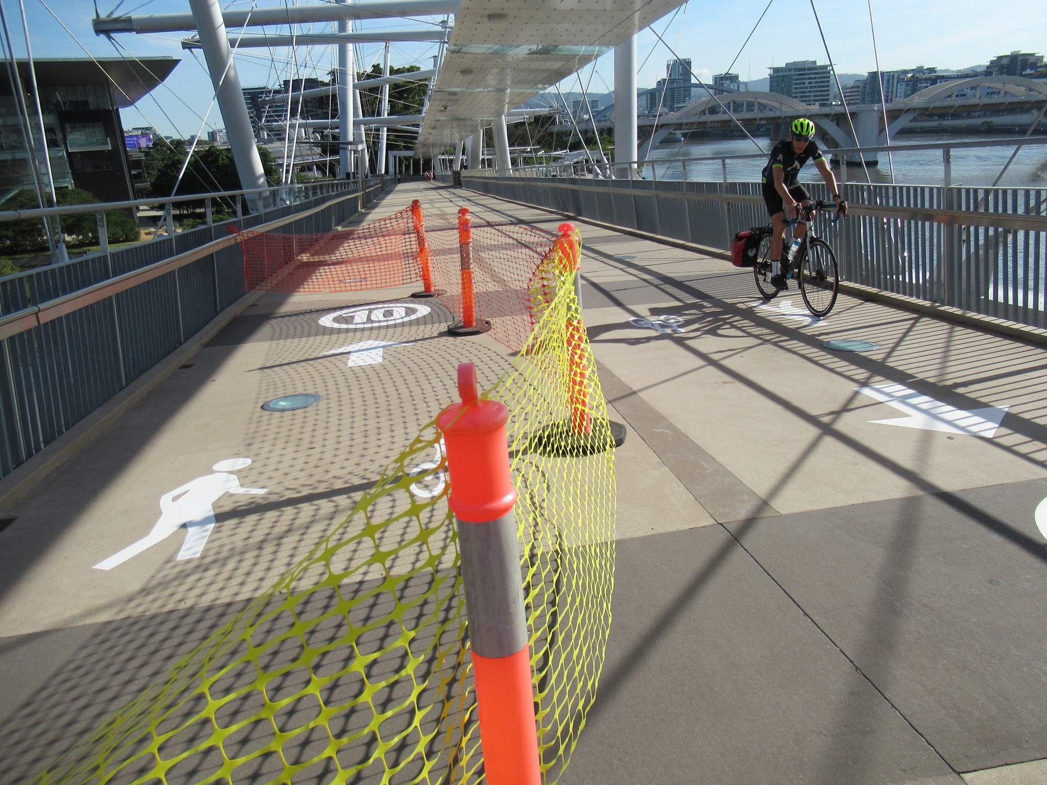
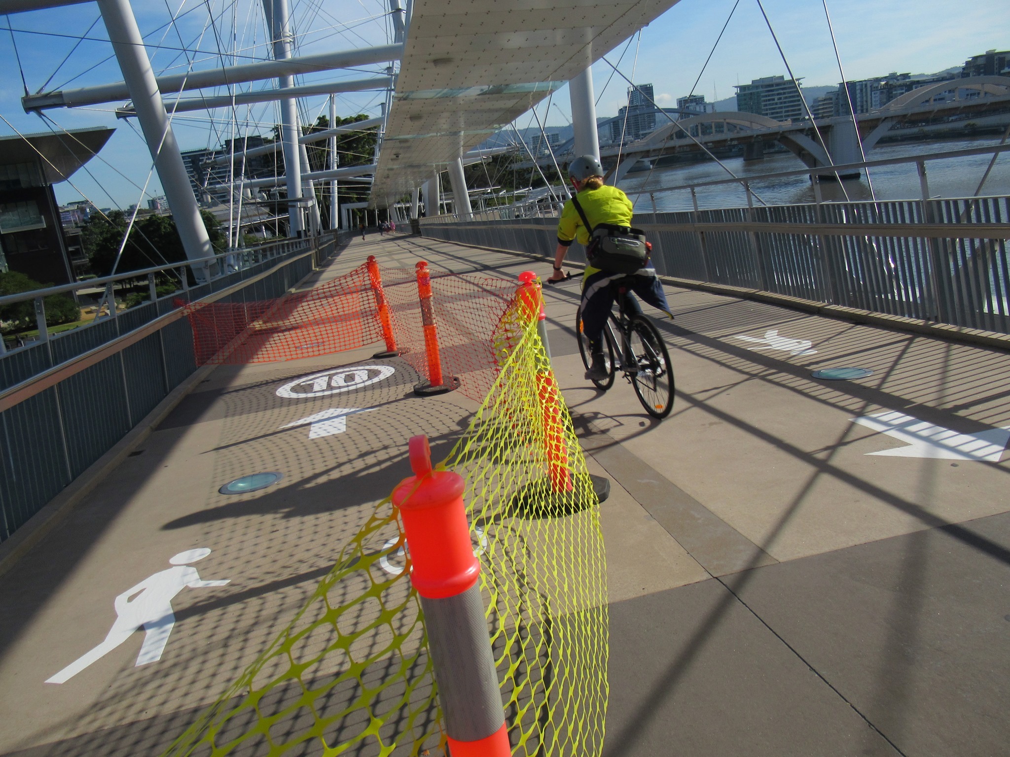
Kurilpa Bridge speed limit
In the CBD, we noticed new paint marking being applied to Kurilpa Bridge – which we understand to be a Department of Public Works asset (ie. a Queensland Government responsibility, rather than Brisbane City Council). We don’t believe these have been well thought through, and fail to take into account the lessons from the Goodwill Bridge, which is much more heavily used.

As explained in the Design Manual for Bicycle Traffic, produced by Dutch organisation CROW, and generally considered to be the ‘gold standard’ for cycling design:
“To remain stable on the bicycle, it is necessary to cycle at a speed of at least 12km/h.” … “In situations where cyclists are forced to travel at less than 12km/h, more free space is required to keep their balance.”
CROW Design manual for Bicycle Traffic
Interactions between pedestrians and people cycling or scooting shouldn’t be compared to interactions between drivers and those outside a vehicle. On a bike or scooter you have every motivation not to crash; if you collide with someone you are equally or even more likely to get hurt than they are.
There are some minor safety issues on the Kurilpa Bridge: the gradient and curvature, the light covers which are slippery when wet, and the clutter of bollards at each end. Also, people walking don’t always stay left; they tend to walk in the shade/shelter; and they can often stop suddenly or cross the bridge to check out the view. But all of that applies to any other shared path in Brisbane, most of which are much narrower.
According to the Department of Transport and Main Roads’ own technical note:
“Studies of bicycle operational stability during the last century have shown that a bicycle can become unstable at speeds below 11 km/h. The degree of stability depends on a number of factors: the skill of the rider; the design of the bicycle; and, environmental factors such as path surface and slope
Requiring cyclists to travel at speeds which may detrimentally affect their stability (and hence safety), on inadequately designed paths, shared with other users insensitive to their operational needs, is not an equitable or safe path management strategy.
Any regulatory device which instructs a cyclist to undertake a behaviour that will compromise their safety cannot be expected to be complied with and damages the credibility of the device.”
TMR Technical Note TN130
Stephens Lane closure
Also in the CBD, we were disappointed to receive notice from the Queens Wharf developers that Stephens Lane will be closed from 21 June until late 2022 when it will reopen as a walkway only as part of the “integrated resort”.
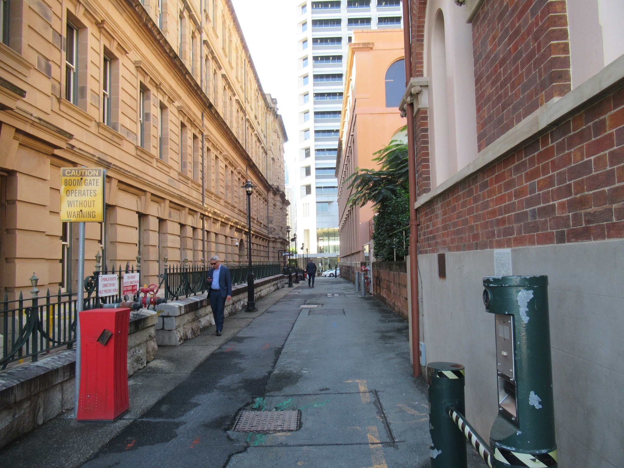

Stephens Lane has long been an important route for cyclists (and more recently scooter riders) as it provides a safe and direct route between William St and George St, and in particular enables riders to avoid some of the cyclist-hostile road environment on George St. George St is one-way only between Stephens Lane and Elizabeth St, and that stretch of footpath is compromised by the carpark driveway and staircase entry.
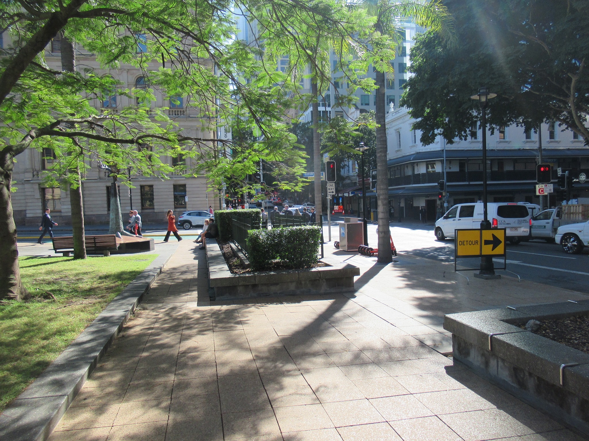
Brisbane CBD BUG have written to Transport Minister Mark Bailey MP and to Lord Mayor Adrian Schrinner protesting this closure. As far as we are aware this permanent closure was not featured in the publicly available plans for the Queens Wharf development, nor has it been the subject of public consultation.
It’s time for a protected bikeway on George Street!
Other News
If you use your bike for transport, it can be pretty inconvenient (not to mention expensive) to find it’s not where you left it! Writing for the Westender, Belinda offers some tips on how to make your bike a less attractive target for thieves, and how you can help make bike theft less profitable by ensuring the second-hand bike you’re buying isn’t stolen property.
Also, language matters. Power imbalances foster bullying, and we are all less safe when people use dehumanising stereotypes about people who bike. This is an important article by NZ sociologist, Dr Kirsty Wild (which has also been reprinted in The Age the week.)
Finally, we ❤️ spotting a full school bike rack, but one at kindy is possibly even better! 😍 The kids who ride their bikes to Stones Corner Kindergarten are little champions! We’re looking forward to the refurbished Norman Creek Bikeway opening up again, with an underpass beneath Logan Road that will enable many more kids to take active travel to kindy, and keep it up when they head to primary school and beyond.
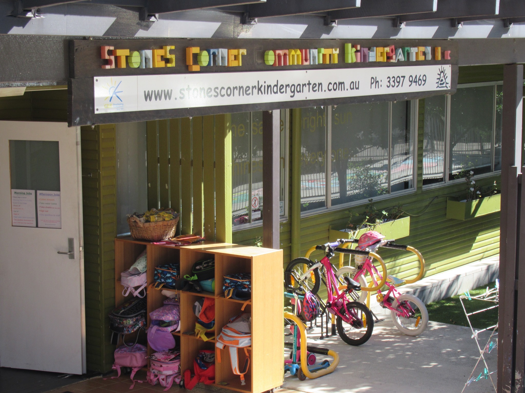
Bike paths make us happy!
