- Green Bridges consultation extended
- North West Transport Corridor
- Public engagement: can it be worse than nothing?
- Brisbane people want to bike!
- Petition to make Lytton Rd safe
- News from around the world
- The changing face of bike advocacy
We’ve had a quiet week on the advocacy front, as a couple of our key contributors took time out from the city, and another is recovering from surgery (we hope that’s going well Chris!). But there’s still plenty to report:


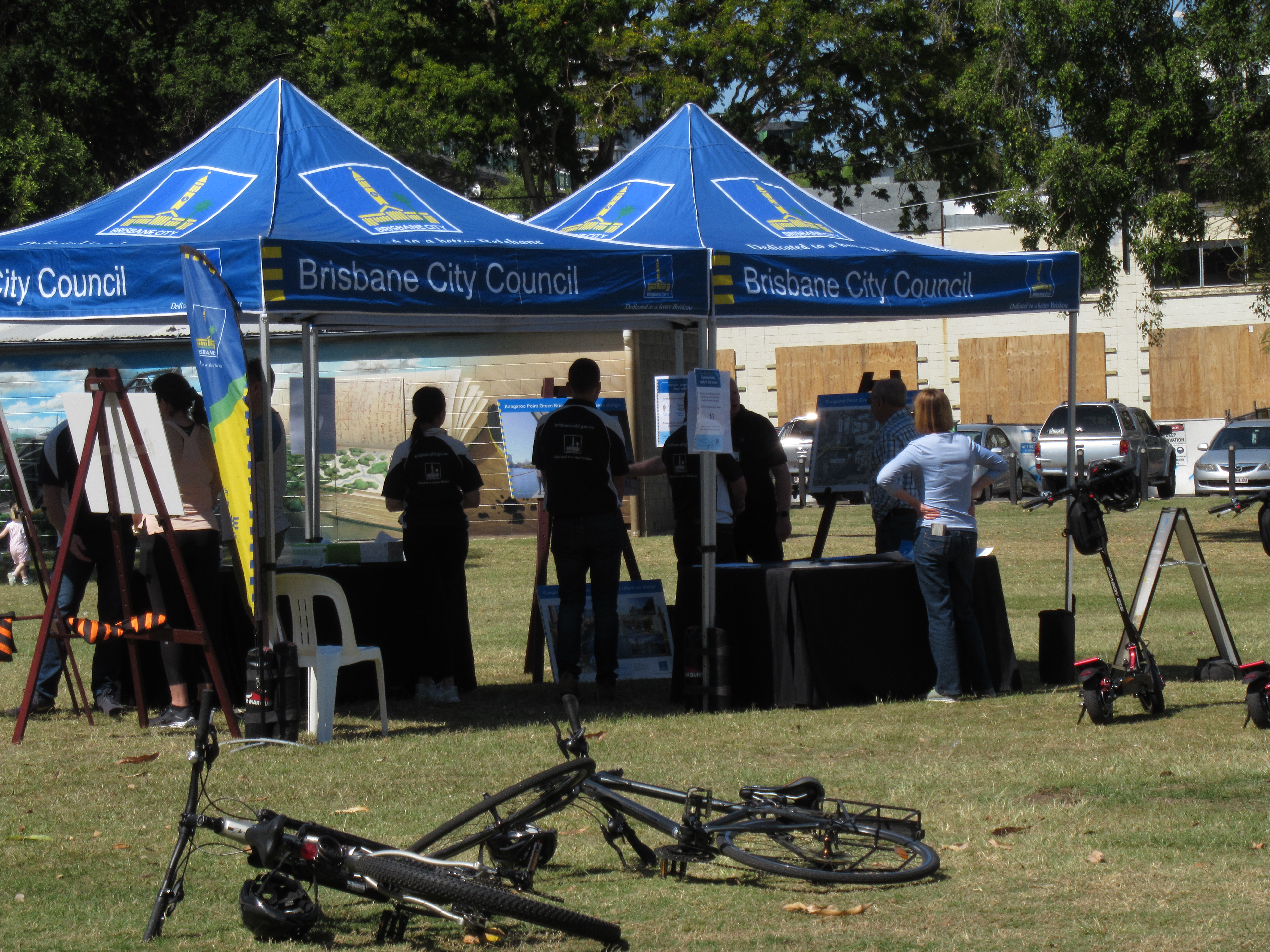
Green Bridges consultation extended
We welcome the announcement from Brisbane City Council this week that they will be extending the public consultation period for the proposed West End green bridges until the end of March 2021.
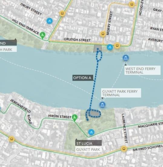
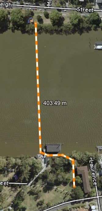
We are concerned that there is some misinformation circulating about some of the options – in particular the possibility of a landing in Guyatt Park at St Lucia. Zooming in on one of Council’s diagrams, it appears to show a spiral loop from the end of this bridge that would have a major negative impact on one of the most attractive and well-used sections of Guyatt Park. Thanks to Brisbane CBD BUG for doing a more detailed analysis to address the fear that a bridge would be 11 metres high at the river bank, and thus completely dominate the park:
- For river operations, the underside of the bridge is required to be 11.5m above the Highest Astronomical Tide (HAT) in the middle of the river channel (not the river bank).
- For CityCat operations, it must be 9m above the Highest Astronomical Tide (HAT) near the CityCat Terminal (again, not the bank).
- The riverbank level at Guyatt Park is RL5.00 or ≈ 3m above the HAT.
- Allowing for a 1 in 21 fall the bridge deck will only be approximately 8m above HAT as it approaches the river bank.
- This means at worst case the bridge deck would be around 5m above the height of the river bank when at the river edge.
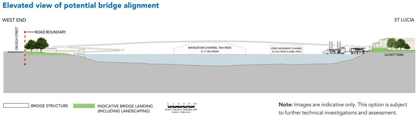
It thus wouldn’t need the huge spiral on the St Lucia side which has (understandably) raised concerns.
Which is not to say that a bridge landing wouldn’t have any impact. Of course it would.
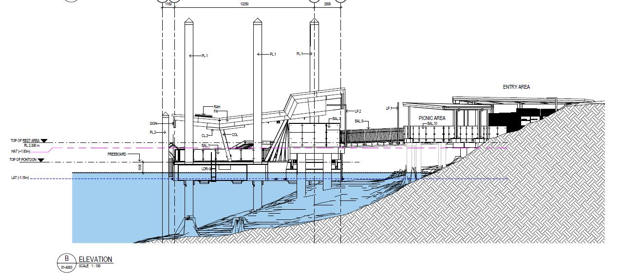
CBD BUG have sketched another landing configuration which would address some of the concerns about the landing structure, and potentially see far fewer cycle commuters riding through the park (which is another long-standing objection by some of the nearby residents).
We totally understand that some residents will still be opposed to a bridge landing of any scale and configuration at Guyatt Park, and totally respect their right to hold and express that position. But we don’t support campaigns based on misinformation and untruths.
We hope that decisions about the new green bridges will be made by considering potential benefits, real impacts, and broad community sentiment. We acknowledge that’s not an easy task for Council, so we welcome the extra time allowed for community input.
North West Transport Corridor
Brisbane City Council‘s community consultation (stage 2) on the North West Transport Network closes on Monday 21 December 2020. If you have times, please take this chance to tell BCC you want the best options for active and public transport to make life easier on the north side.
The survey is quite awkward, but we recommend you elect to comment on all options, and use the free text fields to say:
- Council should not be building new roads, or widening roads. This is proven not to reduce congestion, but to increase it.
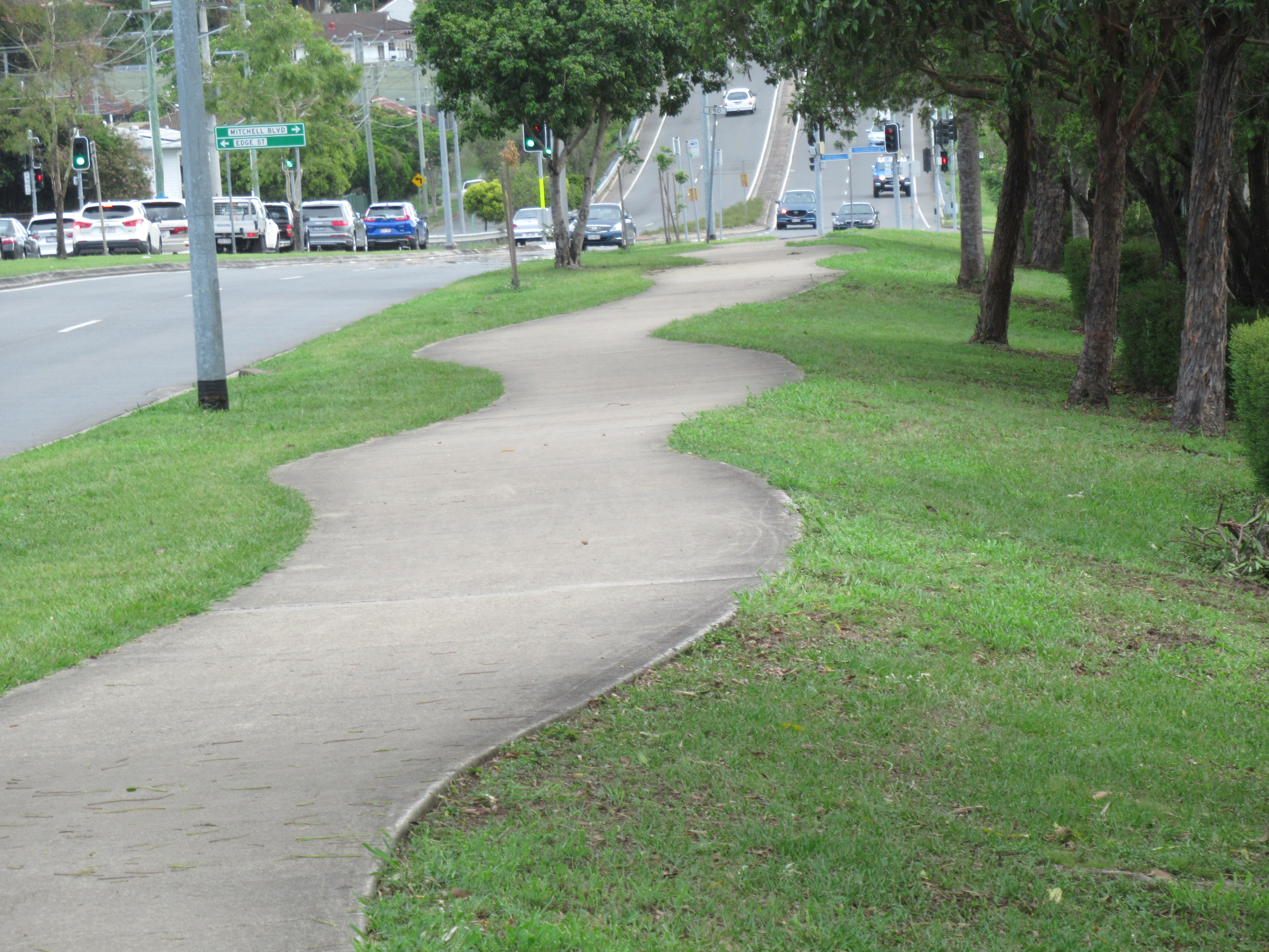
- All options should include quality separated space for walking and cycling (not shared paths on major routes).
- Active transport connections should be enhanced as the primary route for reaching public transport stations. (Expanding car parking at stations is expensive, and adds to local congestion).
- All intersection “upgrades” and level crossing removal projects should focus on creating good outcomes for active travel. The safety and convenience of making local trips by bike or walking should not come second to encouraging high speed through traffic.
Here’s our quick guide to the different options:
Option 1 Roads
Various options for new road corridors and tunnels, which might have a shared walking and cycling path included in the project (not very likely for the tunnels).
Option 2 Buses
Ideas presented include:
- A new north west busway and shared path
- Gympie Road busway
- Priority bus services on north-south roads including Beckett Road, Webster Road and Old Northern Road, or east-west roads including Hamilton Road.
Bus improvements are great for improving public transport, and the first idea would include a shared path. This transport corridor has been preserved by the state government since the 1980s but we think it would be better suited to a new new railway instead. (It is currently a significant wildlife corridor, which should also be considered).
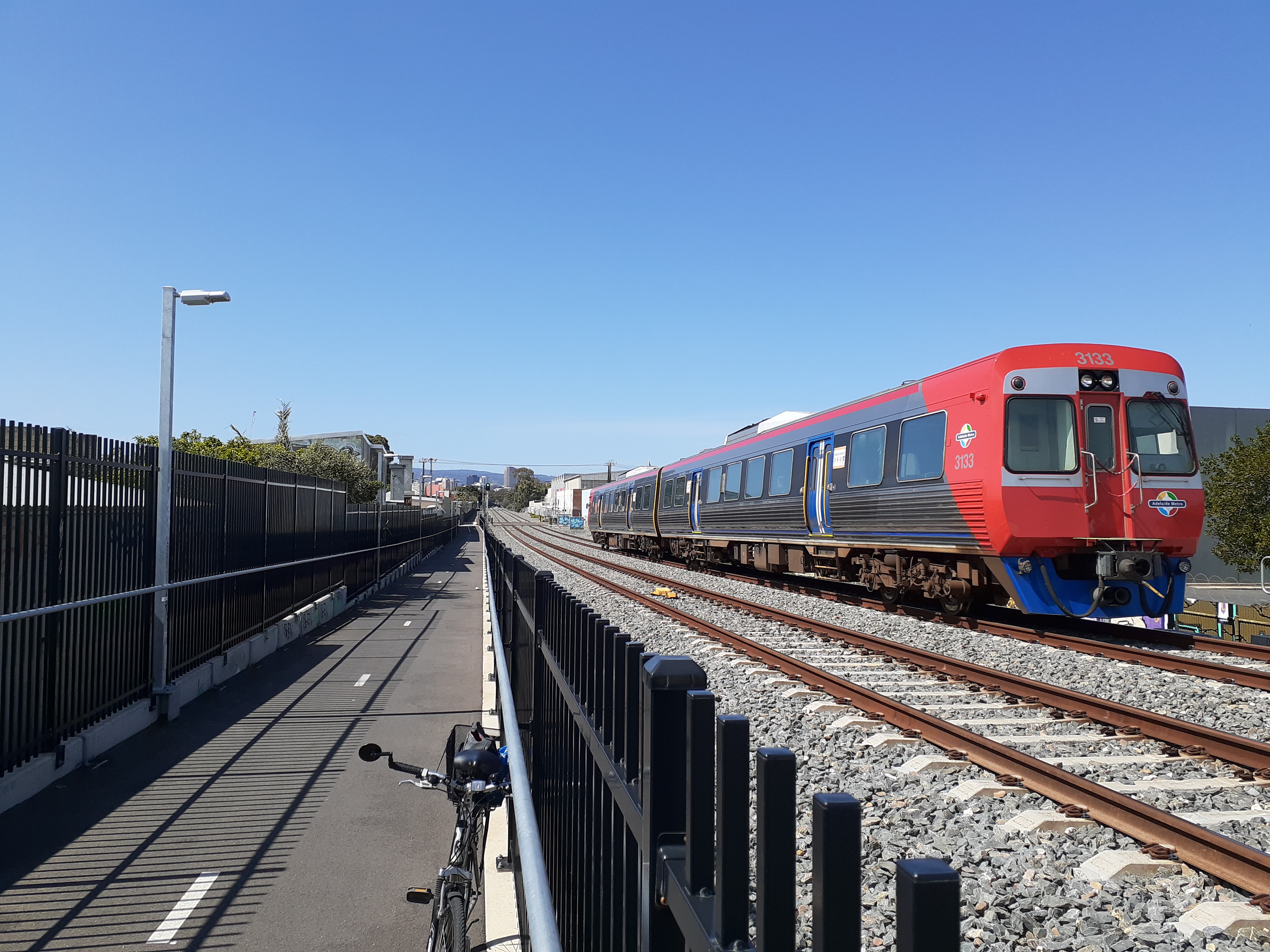
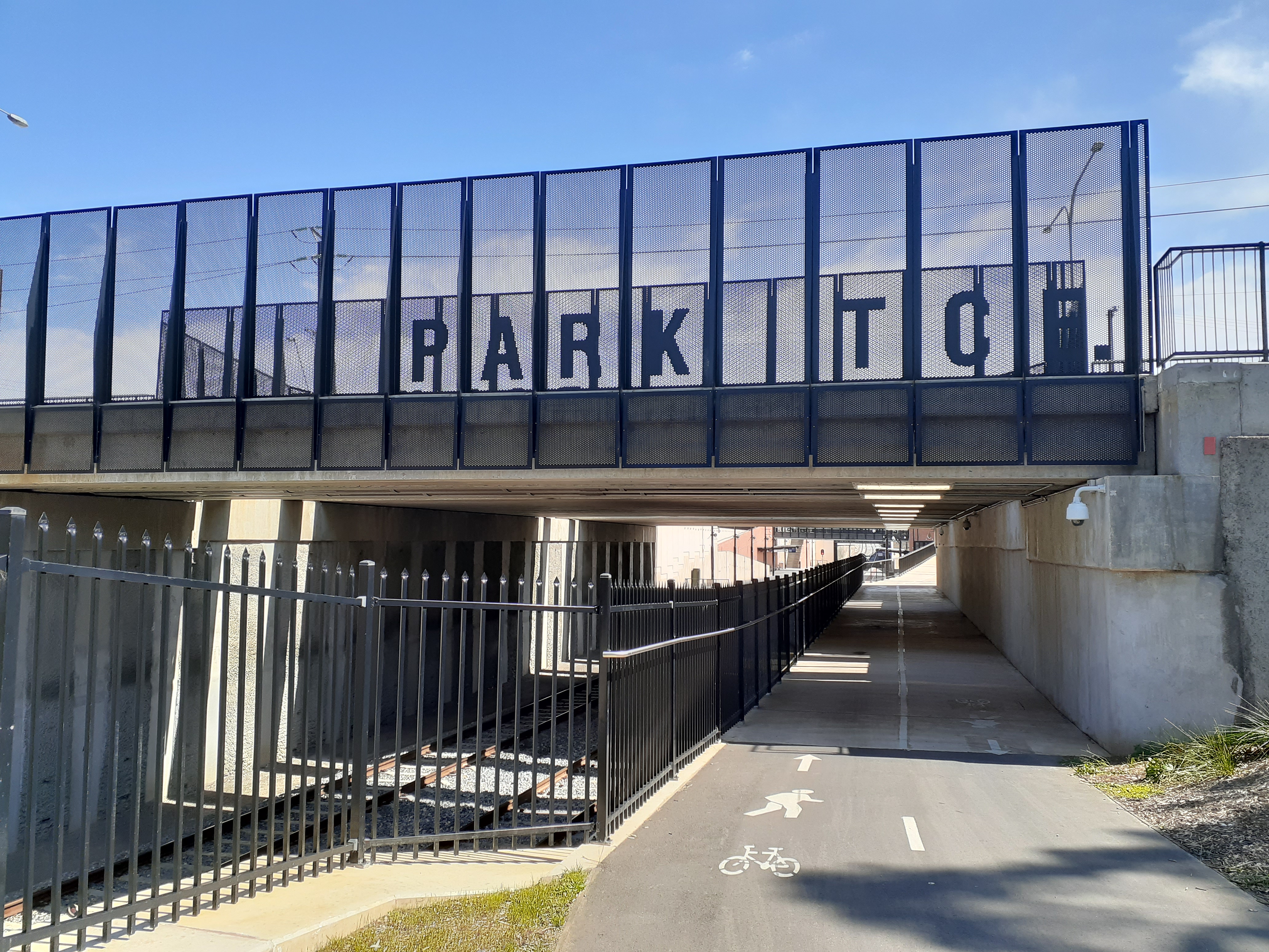
Option 3 Rail
Idea 1: A new nine-kilometre north west railway corridor from Carseldine to Everton Park. It would potentially link to Ferny Grove rail line in the short-term and Cross River Rail in the long-term. Includes a shared path for walking and cycling.
Idea 2: An upgrade the existing corridor between Strathpine and Albion stations with two new tracks for additional services and express services.
This option offers the best outcome for active travel considering the new rail corridor will include a new shared path, and you can take a bike on trains (with some caveats) but not buses in Brisbane.
Option 4 Multimodal
The new north west railway corridor from option 3 with shared path AND a new road. The new road would run along the new railway, encouraging people to drive rather than bike or catch a train.
Option 5 – Local transport network improvements
Removing some open level crossings, “upgrading Park ‘n’ Ride facilities” and “improving intersections”.
We expect these “improvements” will be for car users, not other road users. This is lacklustre proposal of more car parking at stations but zero footpath or cycle upgrades to enable people to get to their station without driving.
Public engagement: can it be worse than nothing?
Speaking of public engagement…
“We need to be more aware of different kinds of expertise, and who has it. Each expert—engineer, resident, or designer—only specializes in a narrow field, and we mustn’t ask them to do each other’s jobs. Otherwise, we disrespect everybody involved, and we corrode goodwill and trust on all sides.”
Ruben Anderson, Strong Towns
This is an excellent article on some of the problems with public consultation, arguing that if done poorly, the consultation process can actually make things worse.
A better approach?
- Humbly observe where people in the community struggle.
- Ask the question: What is the next smallest thing we can do right now to address that struggle?
- Do that thing. Do it right now.
- Repeat.
Brisbane people want to bike!
An Infrastructure Australia report reveals a shift away from public transport in Brisbane. More than 13 per cent of Brisbane residents surveyed said they planned to use their private vehicles more than before COVID, while 6 per cent planned to buy a car. That’s bad news for road congestion.
On the brighter side, cycling has become more popular; Brisbane City Council data shows an increase of 1 million bikeway trips since March. That’s despite a lack of pop-up cycleways in response to the pandemic like other cities. We know that bicycle shops have seen sales more than double and have suffered stock shortages. Waiting times for bike repairs are measured in weeks as the bicycle shops struggle to meet the demand of these new bike users. Brisbane people want to ride! Yet the issue that deters most people is a lack of safe infrastructure, and fear of hostile road behaviour.
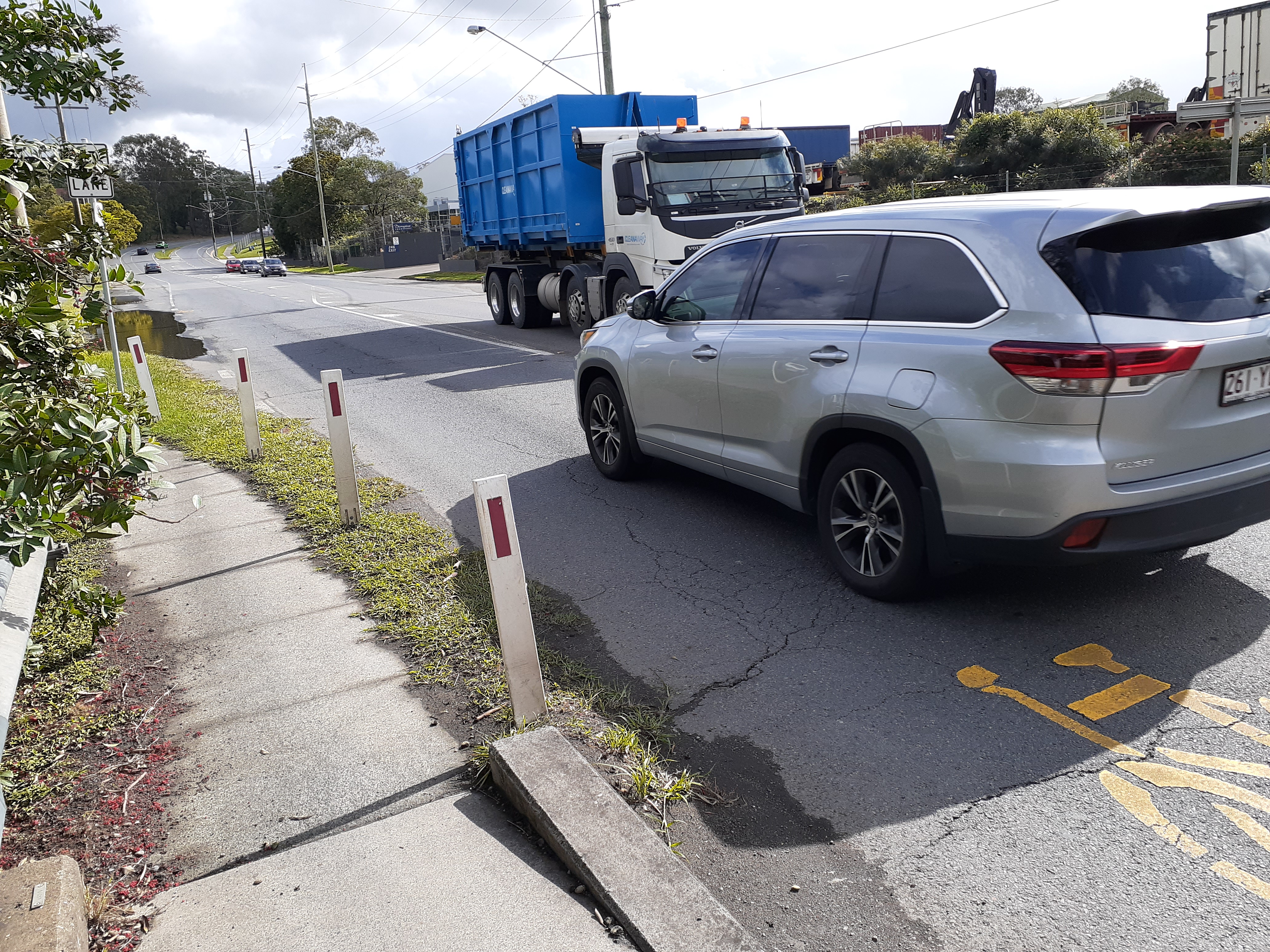
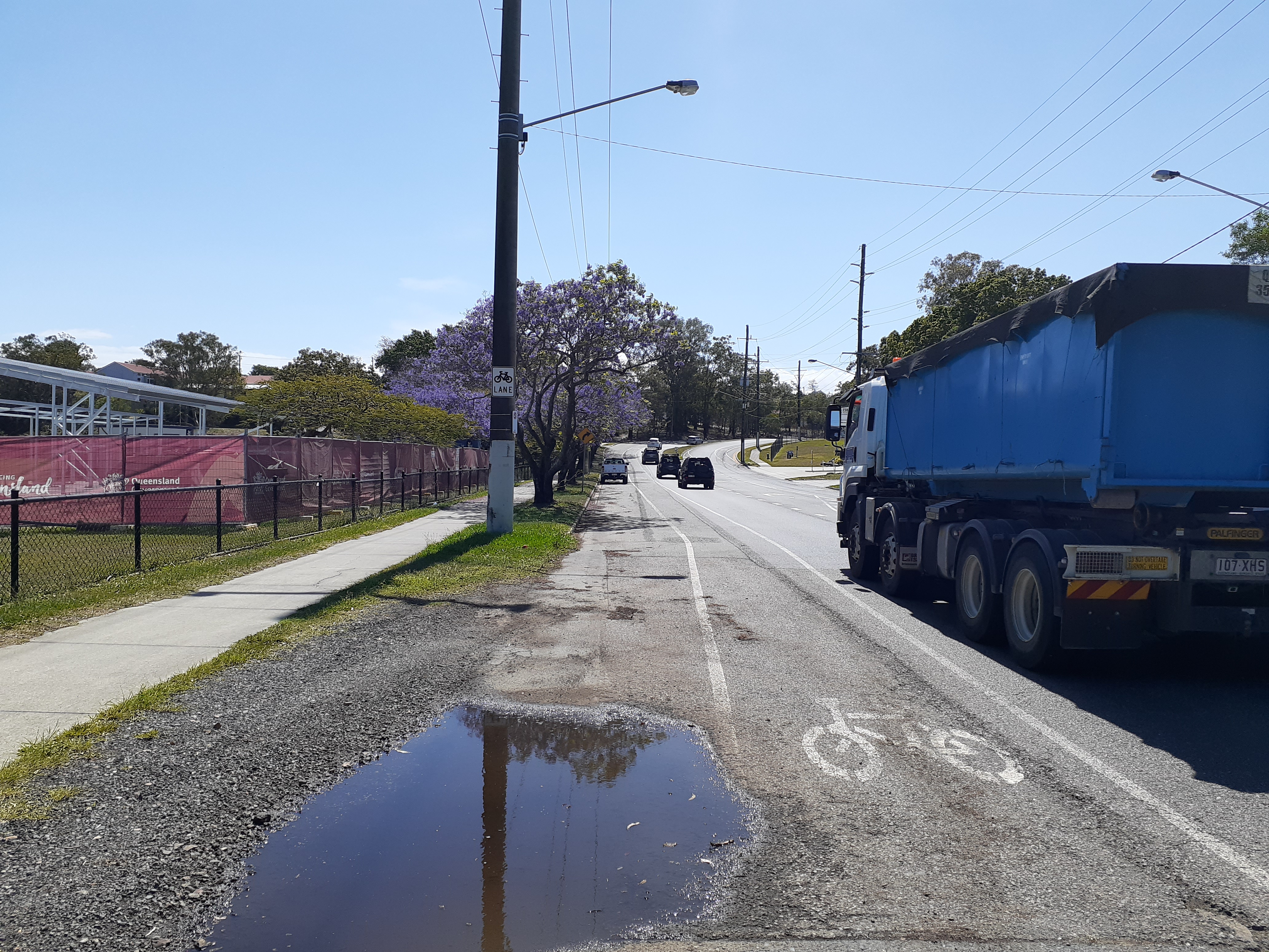
Petition to make Lytton Rd safe
Speaking of lack of safe infrastructure: Lytton Rd though Morningside is a disaster is so many ways – not least because it’s supposed to be a principal cycle route, but sections of it are incredibly hostile to cycling.
EaST BUG are asking people to sign a petition asking Council to upgrade this corridor between Bulimba and Murarrie, making it safe for all road users.


Residents draw to the attention of Council, the poor state of Lytton Road through Bulimba, Balmoral, Morningside, and Murarrie. Specifically:
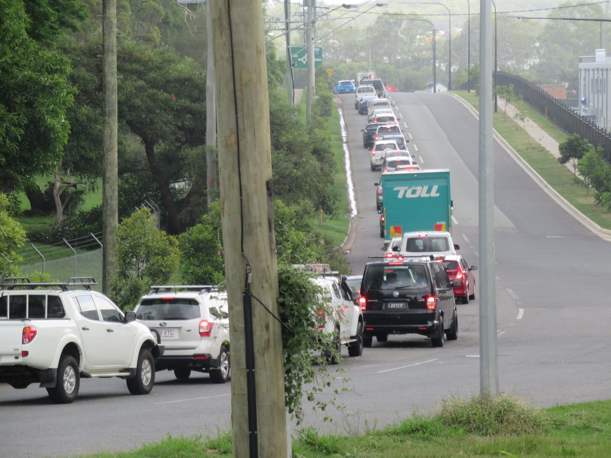
- There is no signalised intersections between Apollo Road, Bulimba and Barrack Road, Murarrie, so the constant stream of traffic makes it very difficult to turn right into or out of any of the properties along Lytton Road, and makes it difficult and dangerous to cross as a pedestrian.
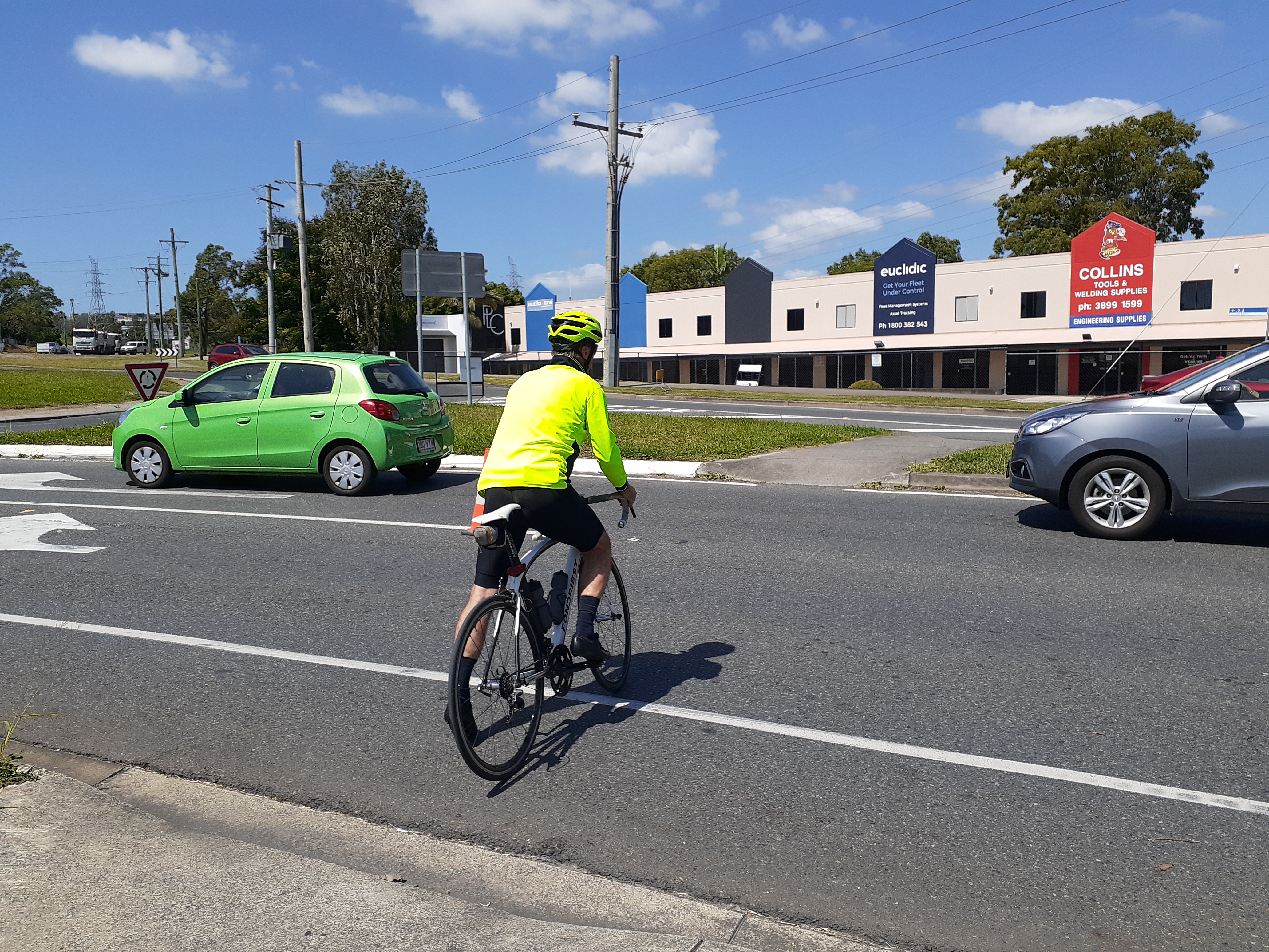
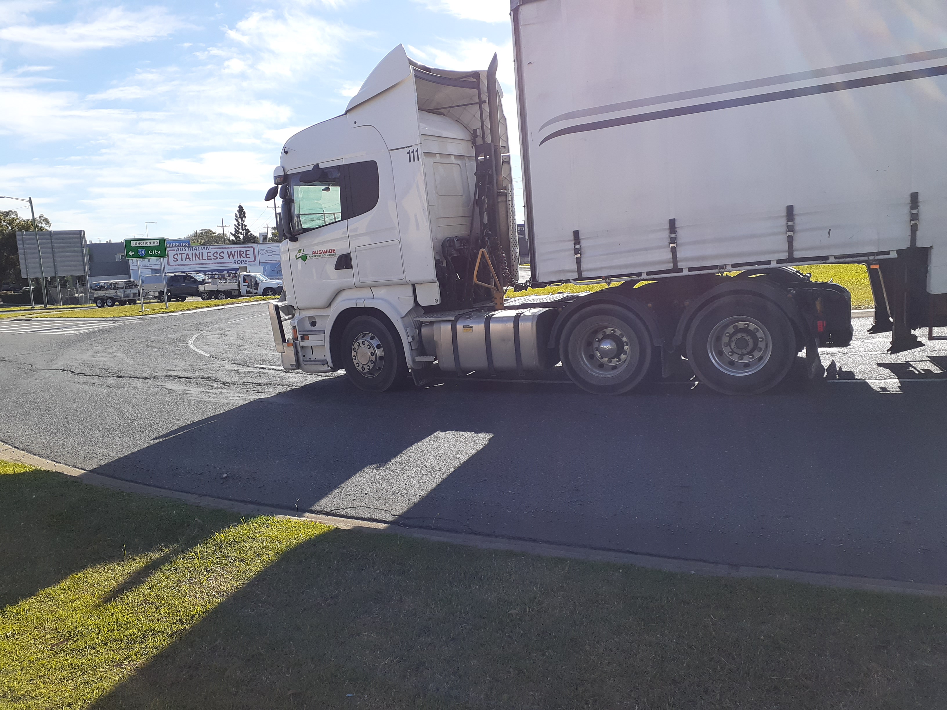
- The intersections with Thynne Road, Taylor Street, Riverside Drive, Riverside Place, Col Gardner Drive, Beverley Street, and Breene Place are all over capacity and dangerous for all road users. The roundabout at Junction Road and Colmslie Road becomes extremely congested at peak times, with vehicles queued in all directions, but particularly waiting to exit Colmslie Road.
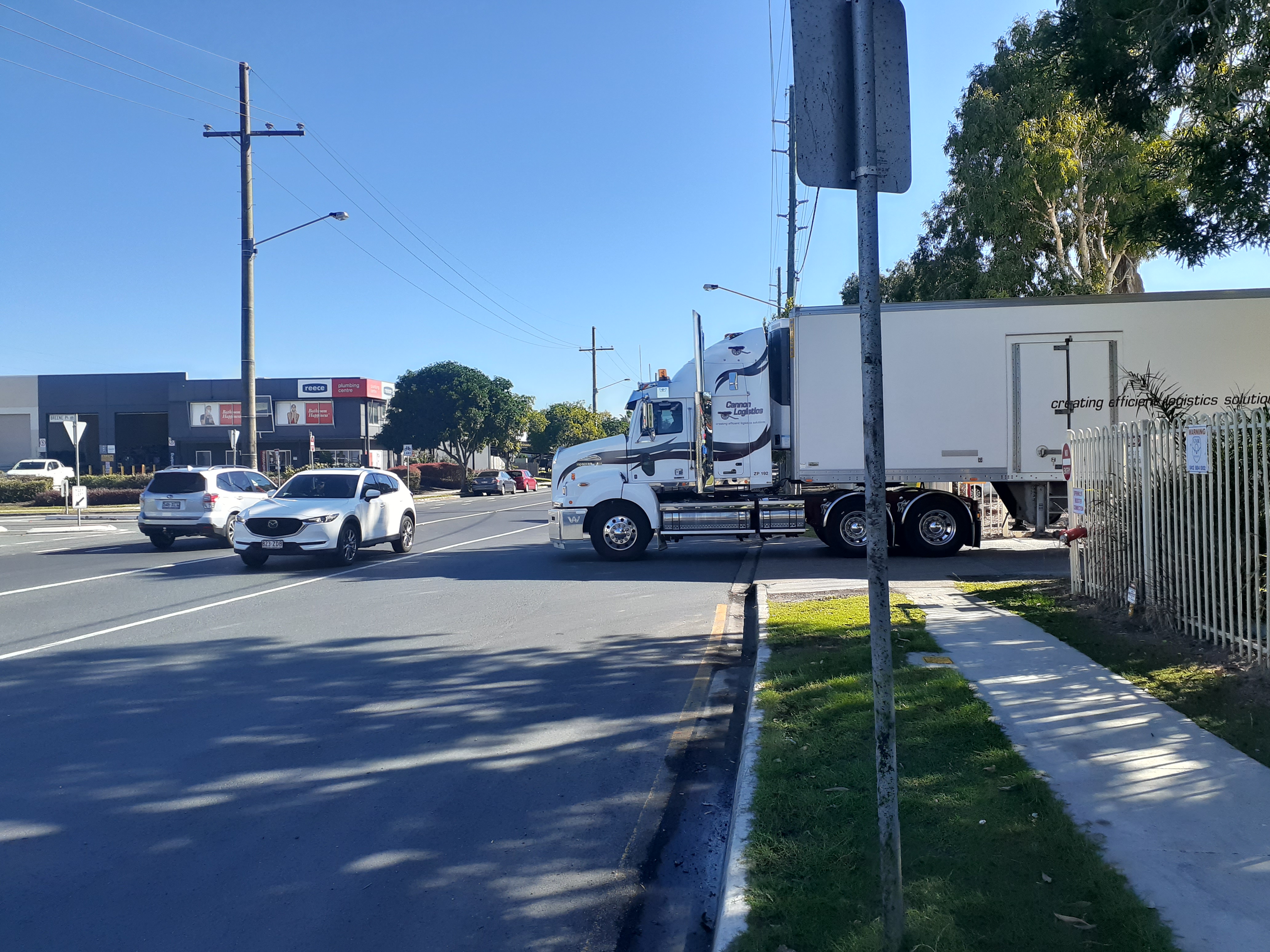
- Drivers accelerate rapidly into gaps in an effort to get through the roundabout, and this poses a significant threat to anyone on a motorbike or bicycle. The roll-over of a truck on Lytton Road at the intersection with Colmslie Rd in early 2020 illustrates the danger of this roundabout, and the costs and disruption involved in emergency repairs.
- There are no facilities for pedestrians to cross at the Junction Road intersection, despite the recent approval of a number of outlets – including McDonalds – that could be expected to attract customers and employees who are not arriving by car.
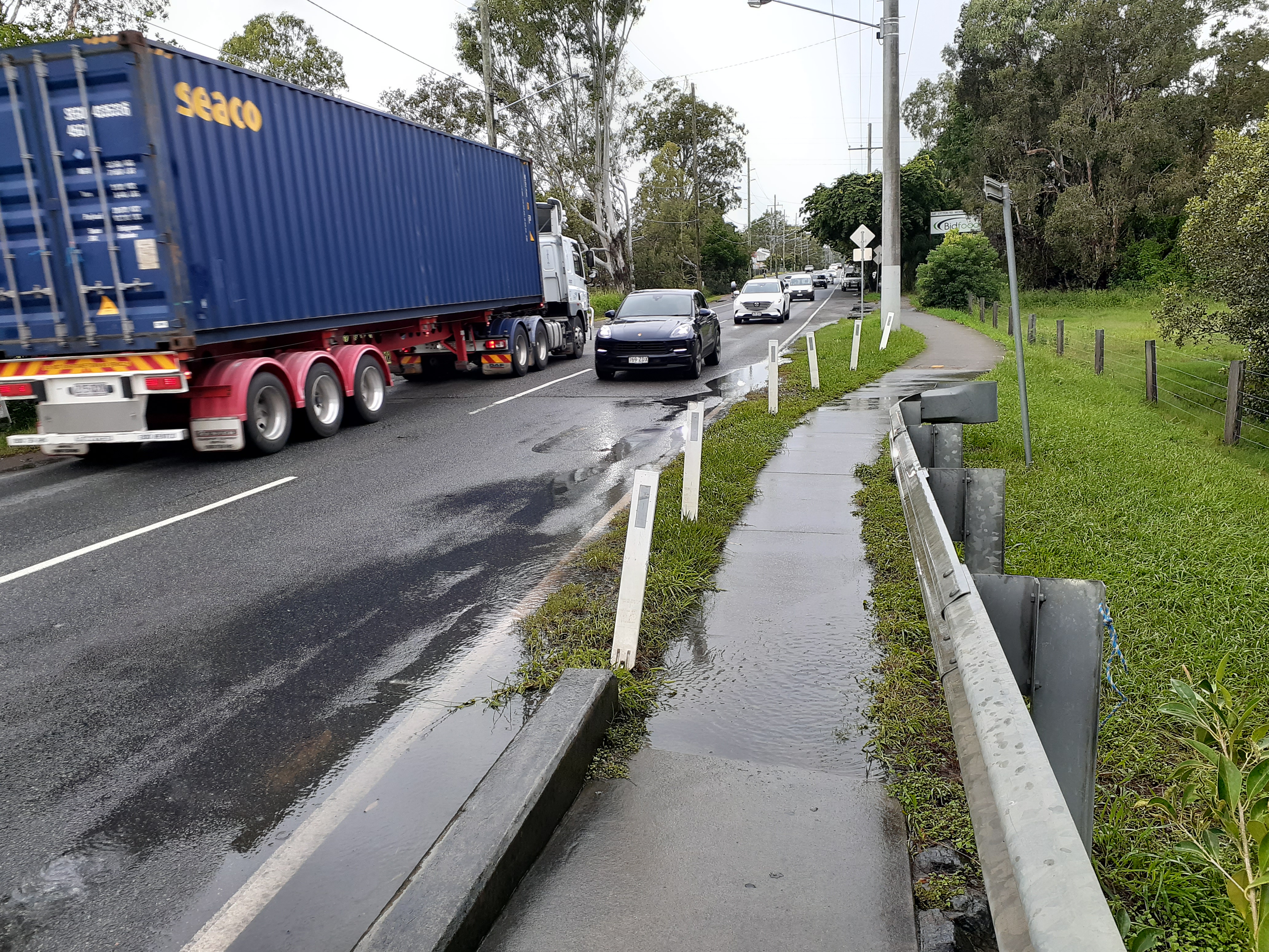
- There are significant sections of missing footpath along Lytton Rd – notably both north and south near Thynne Rd; on the northern side of Lytton Rd at the front of Colmslie Recreation Reserve; and on the northern side of Lytton Rd between Colmslie Rd and Barrack Rd.
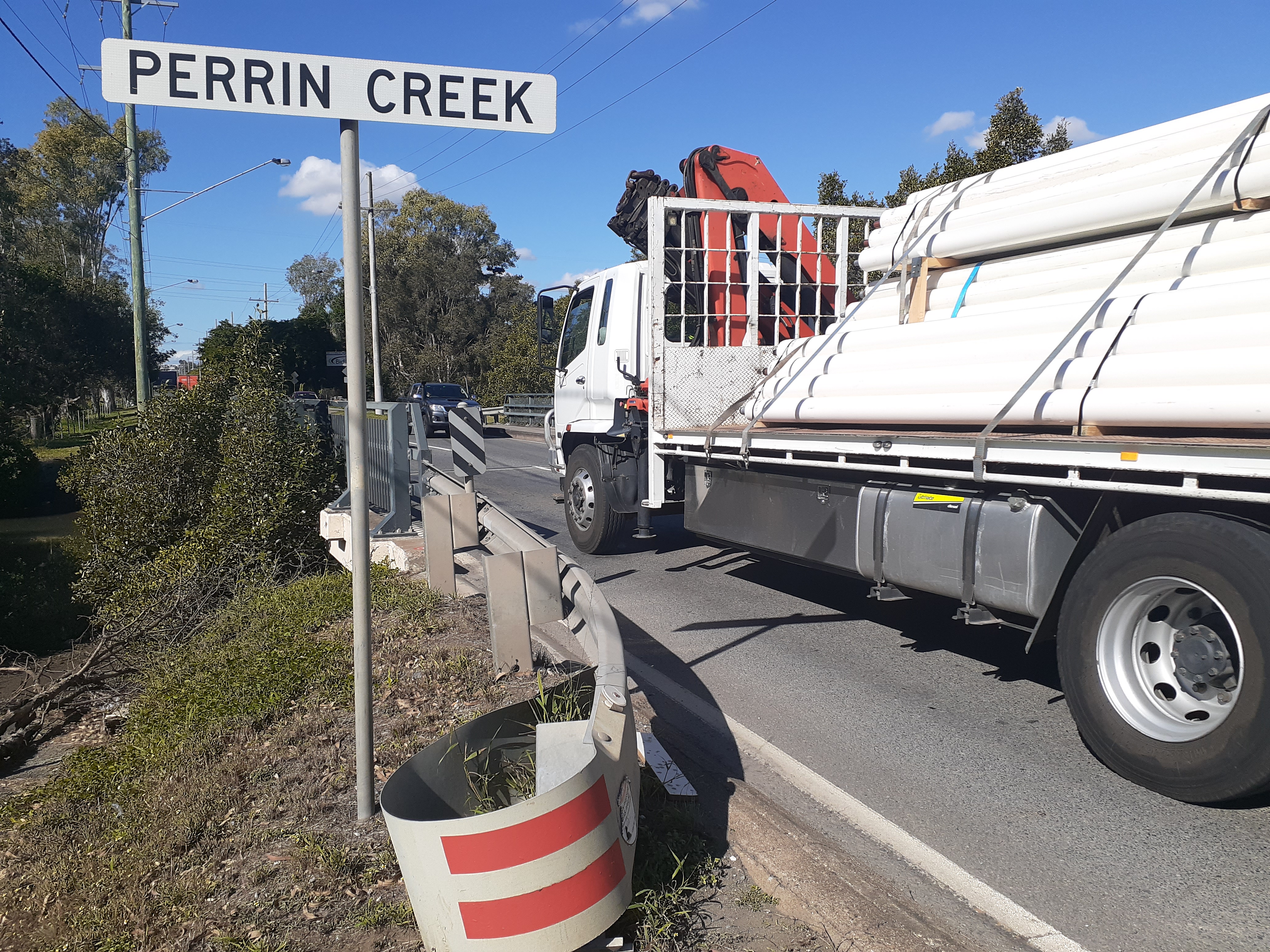
- The bridge across Perrin Creek, built in 1965, does not adequately serve this corridor – particularly with the volume of heavy vehicle traffic. There is no footpath on the northern side, and while that on the southern side is narrow, has no protection from passing vehicles, and is covered in water following any rain event.
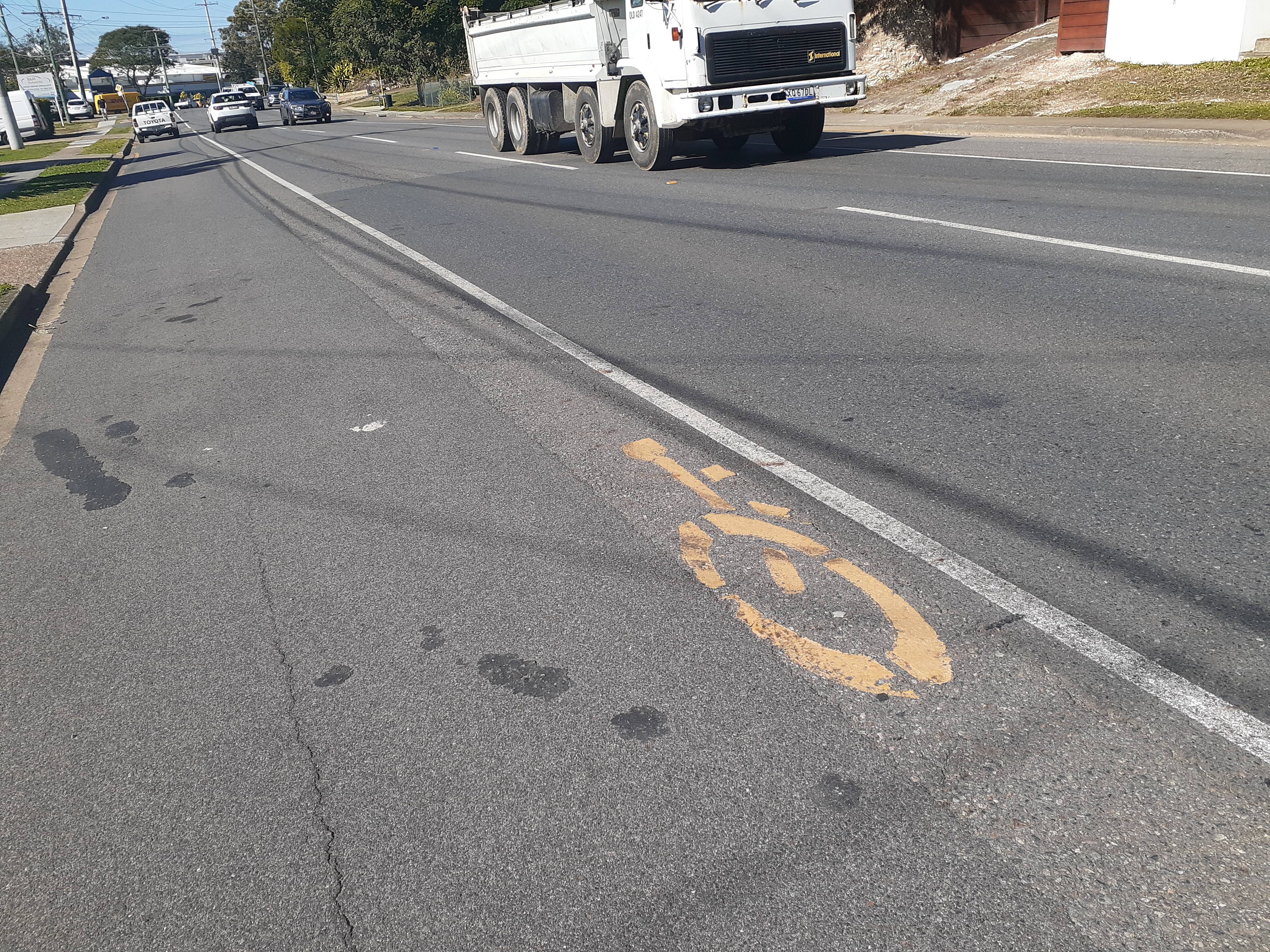
- Lytton Road is a identified in the Principal Cycle Network Plan, and as a primary cycle route in the Brisbane City Plan Bicycle Network Overlay. Despite this, there is very little provision for cycling. The sections of on-road bike lanes which do exist do not meet AustRoads standards, and leave cyclists in danger of being hit by a car/truck door and knocked into traffic.
- Lytton Road should be the route to school for many students attending Balmoral State High School and Cannon Hill Anglican College, but very few families allow their children to walk or ride to school along this road because it is dangerous and difficult to cross.
- Local residents are not able to safety access the Colmslie Pool and other sporting and recreation facilities at Colmslie Recreation Reserve and Colmslie Beach Reserve. Access is almost impossible other than by driving.
- Lytton Rd is designated as a Freight Access Route, and has a high load of heavy vehicles. Drivers have difficulty turning in and out of business premises and connecting streets such as Colmslie Road and Riverside Drive. Delays on Lytton Road jeopardise the viability of businesses in this precinct, particularly those involved in the transport of refrigerated food.


Petitioners therefore request that Council prioritise upgrading Lytton Road from Bulimba to Murarrie, to make it safe for all road users and bring it to an appropriate standard for a primary cycle route and a principal freight access route.
This should include upgrades to the intersections of Lytton Road and Thynne Road (adjacent to Balmoral State High School), and the intersection of Lytton Road, Junction Road, and Colmslie Road to support recent changes to land use in the vicinity.
News from around the world
The Scottish government has announced it will spend £50 million to support the creation of “Active Freeways” to provide sustainable transport links between towns and cities as a response to climate change. This is on top of £500 million for active travel—such as walking and cycling—announced earlier in the year designed to reduce the number of kilometres driven by cars. The government describe the plan as a “truly world-leading aspiration,” adding that “we are not aware of any other country that has committed to such an ambitious transformation.” Critics have called the plan a “war on motorists.”
The changing face of bike advocacy

For her doctoral research, Katja Leyendeker spoke with female cycling advocates in the UK and Germany:
“The women noted that a change in cycle campaigning had taken place since 2012. The older campaigners would exclusively lobby for rights and respect for cyclists, whereas the new campaigners, themselves included, demanded space for cycling. It was clear to the women activists, that people would cycle more and new people would start using the bike, if cycling could only be made an urban design issue. “
“My informants wanted the things around them to make practical sense and they demanded their lived realities to be heard and accounted for in the politics of space. However, this turned out to be a hard message to swallow for the decision-making bodies. In cities designed around the car, taking space from driving seems like political suicide.”
Katja Leyendeker
