- State Election Campaign
- What’s the best bike?
- New bikeway! Weyers Rd Link
- North Brisbane Bikeway construction update
- Bicentennial Bikeway upgrades – have your say
- Bikeway disruptions at Toowong
- A diversion at Jindalee
- New Farm (Car?) Park
- Boggo Road Futures
- Delays on Gladstone Rd
- Morningside Station access
- Other News
State Election Campaign
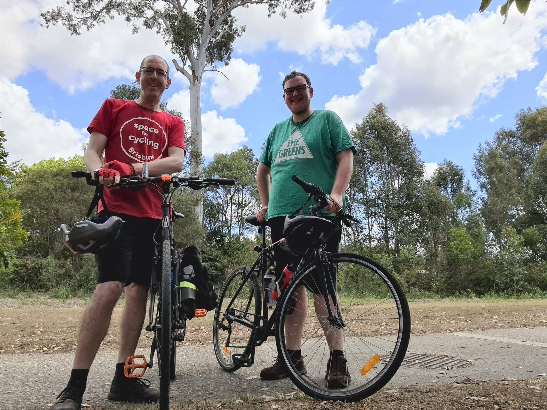
Greens candidate for Ferny Grove, Joel Colls has been enjoying cycling for recreation and fitness over the past two years. So he jumped at the chance to take a break from the campaign trail to join Stephen from Brisbane North BUG for a bike ride last weekend.
The Ferny Grove electorate extends from inner-suburban Newmarket and Alderley, out to northwestern suburbs that are part of Moreton Bay Regional Council‘s area. Joel chose a route that highlighted an opportunity to fix a missing link between the Kedron Brook Bikeway and Ferny Grove Station. He pointed out that an 800 metre path along the northern edge of Keperra Golf Course would provide safer, more direct access to the CBD for people cycling from Ferny Hills and Ferny Grove. The path by Kedron Brook would also improve access for people headed west to the popular rail trail out to Samford.
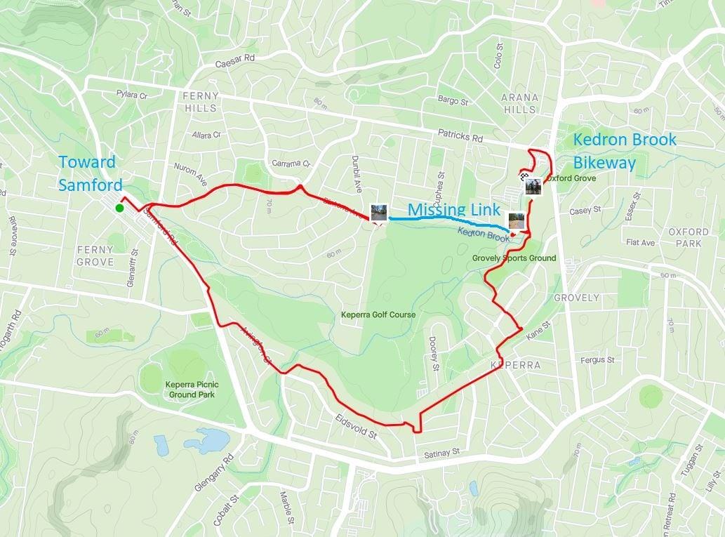
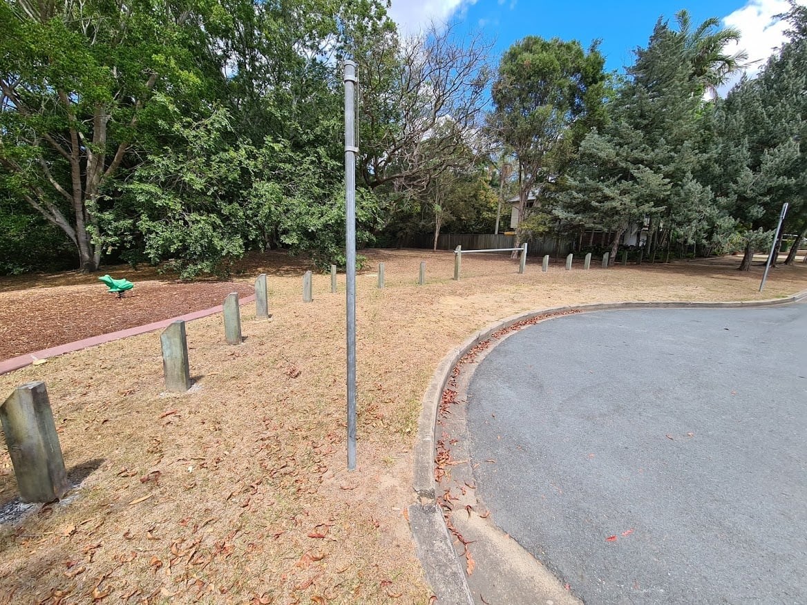
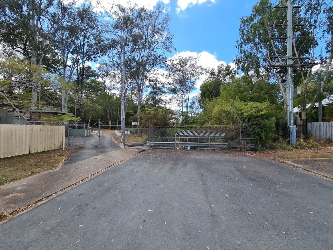
Joel and Stephen rode from Ferny Grove Station to the big locked gate at the western end of the proposed path, then took a much longer, hillier on-road route to the small park and playground at the eastern end, near Grovely Sports Ground. Moreton Bay Regional Council is planning to build the link, but we understand they would be seeking financial support from the state government. Joel is definitely in favour.

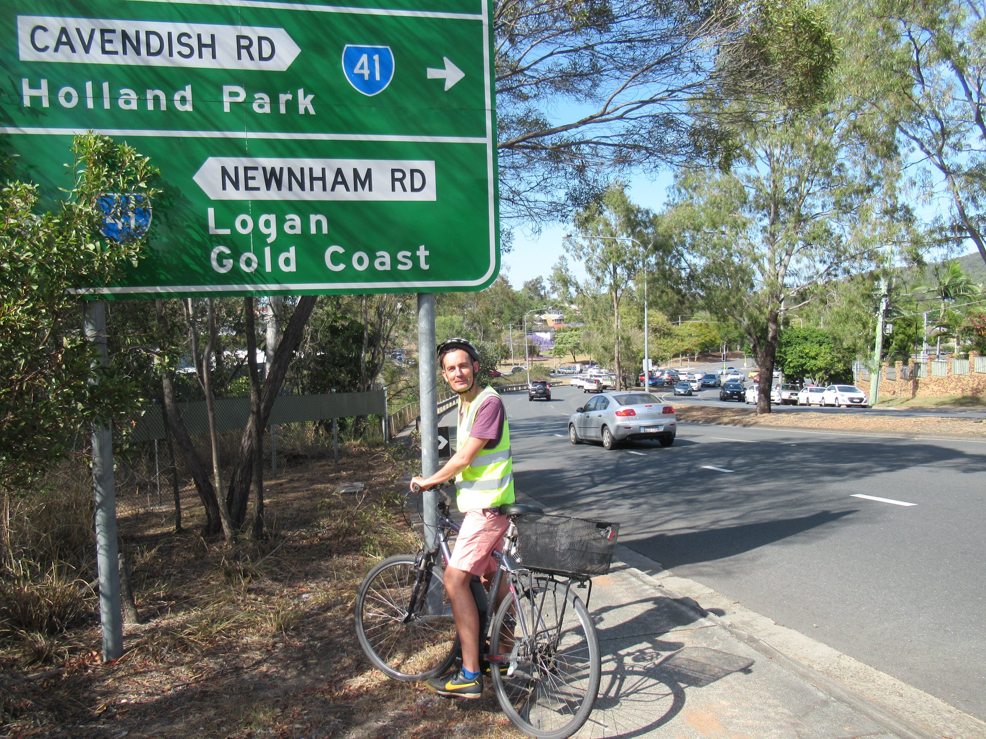
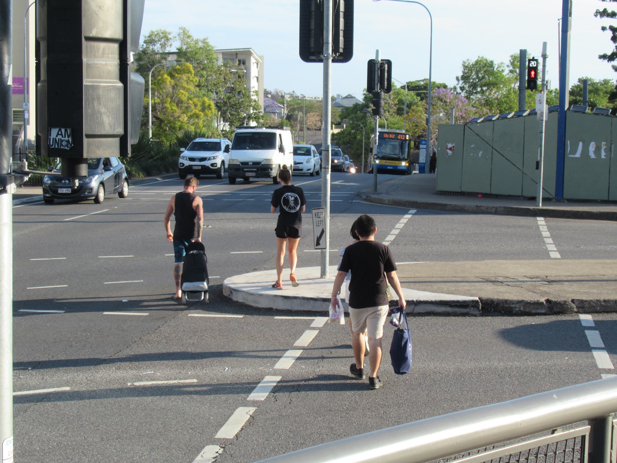
Another Greens candidate, this time in Mansfield, Rob Walter joined Belinda for a ride on Tuesday, which included a look at conditions for kids who might ride or walk to school at Mansfield State High or Citipointe Christian College. It was great to see students walking and cycling – although we found a few places where it was tricky even for a couple of adults to cross the road.
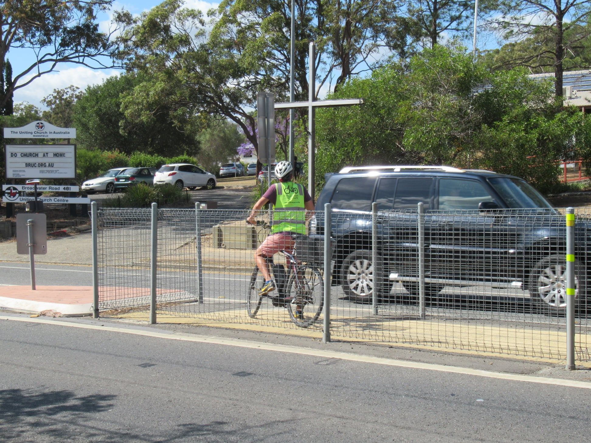

Belinda pointed out that the Gateway Motorway proves a big barrier for cycling in this area, and has the effect of cutting off suburbs like MacKenzie and Rochedale for people without access to a car.
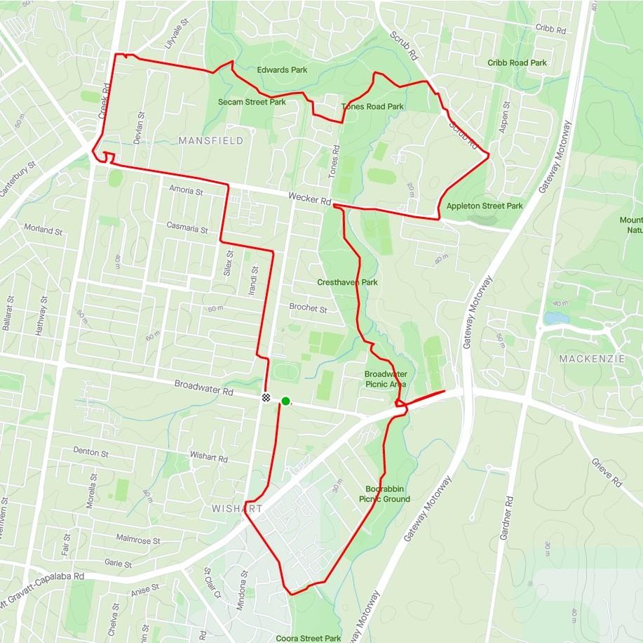
They checked out the Bulimba Creek Bikeway (which is lovely for a meandering ride, but less suitable as a commuting connection, and feels quite isolated at night), and also braved the gauntlet on sections of Creek Rd and Wecker Rd where riding between parked cars and moving traffic is not at all comfortable.
Rob, who doesn’t own a car, observed that visiting an unfamiliar destination by bike often requires a lot of background research—and sometimes a long detour—to find a suitable route. His e-bike makes hills less of a problem though.
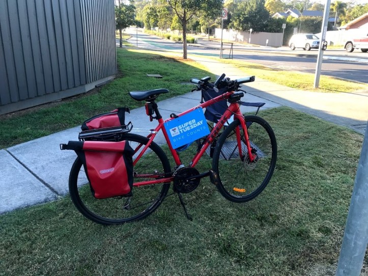
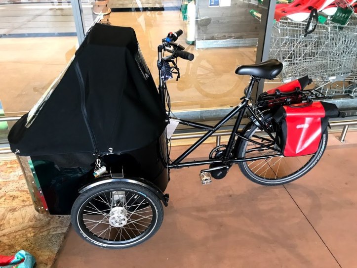
What’s the best bike?
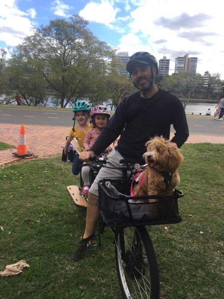
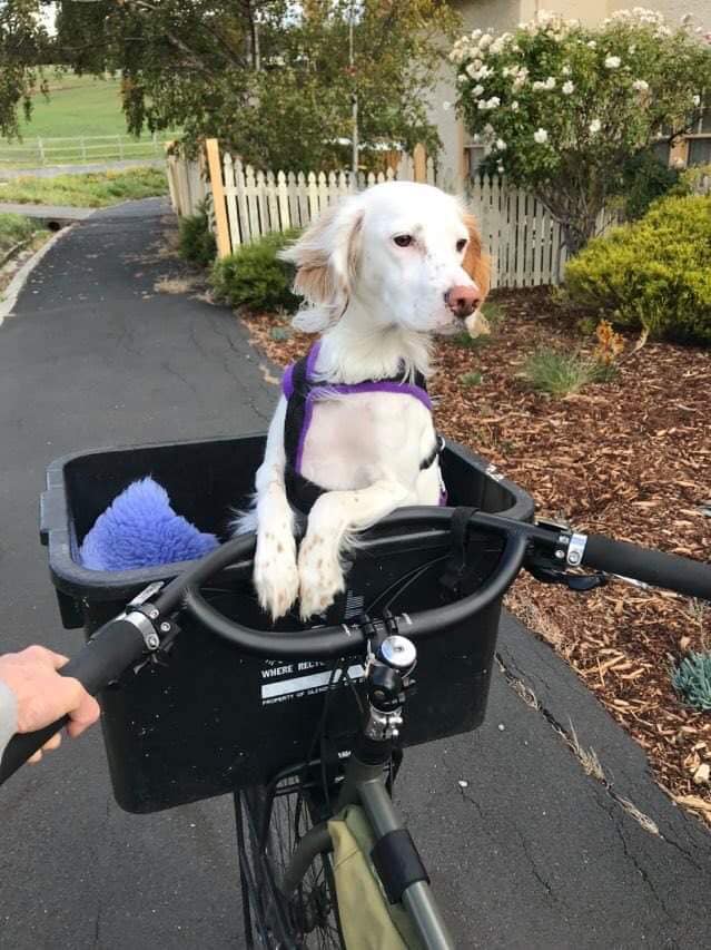
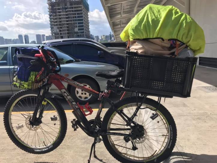
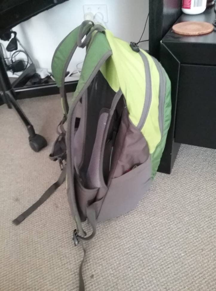
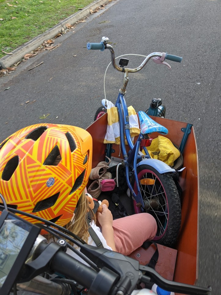
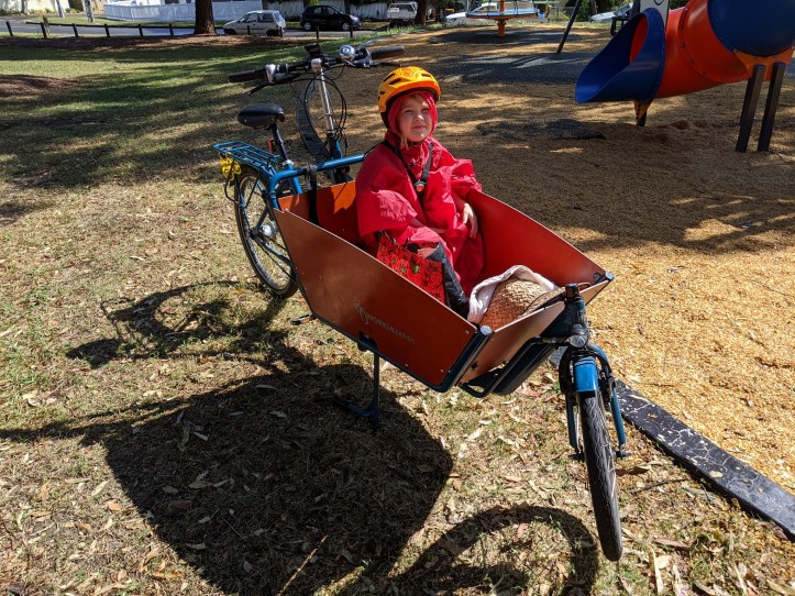
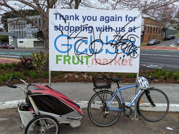
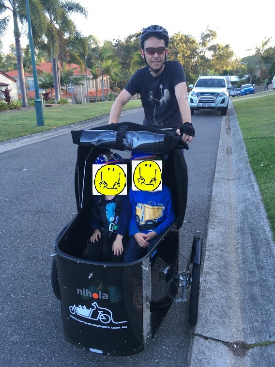
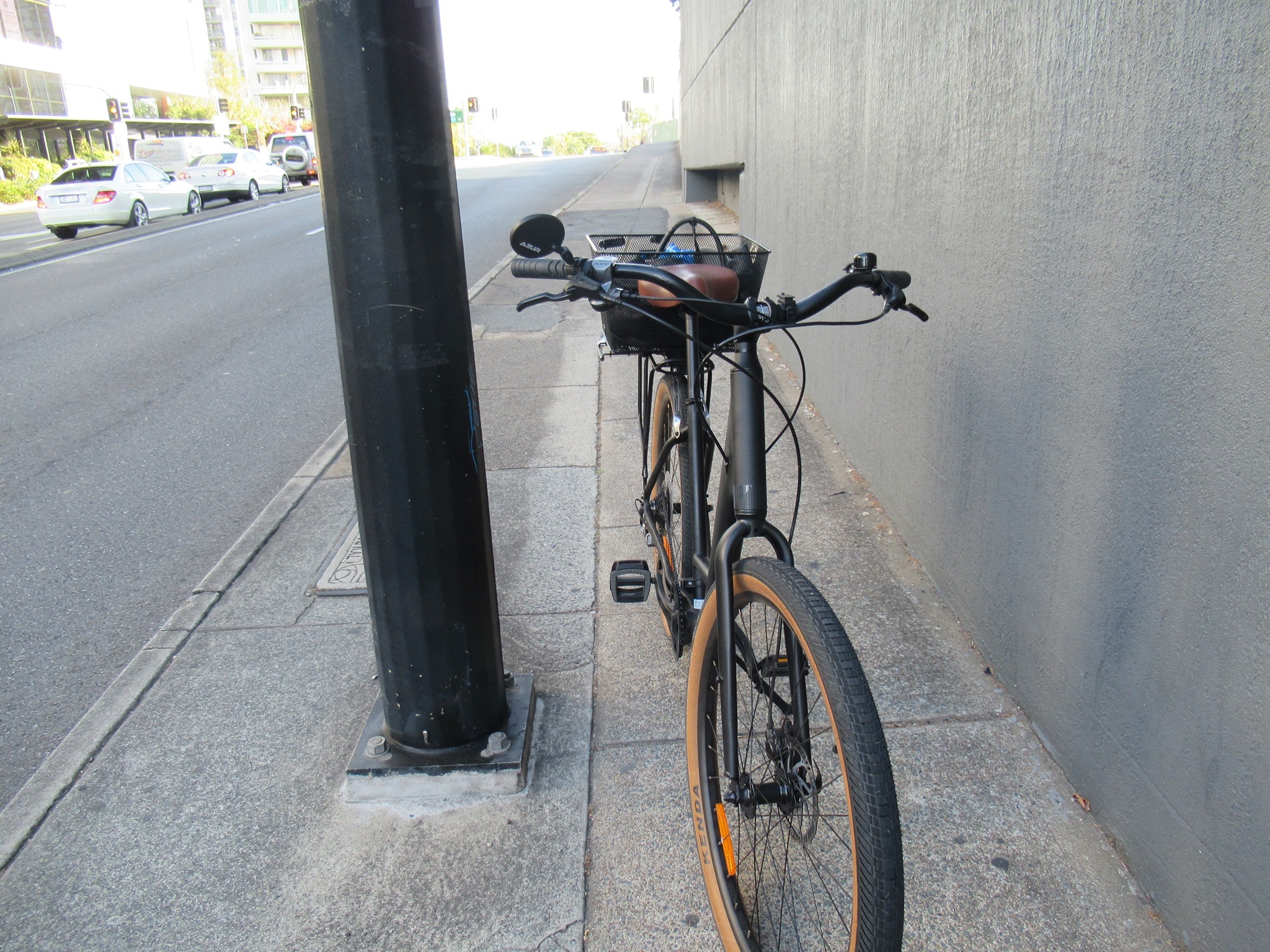
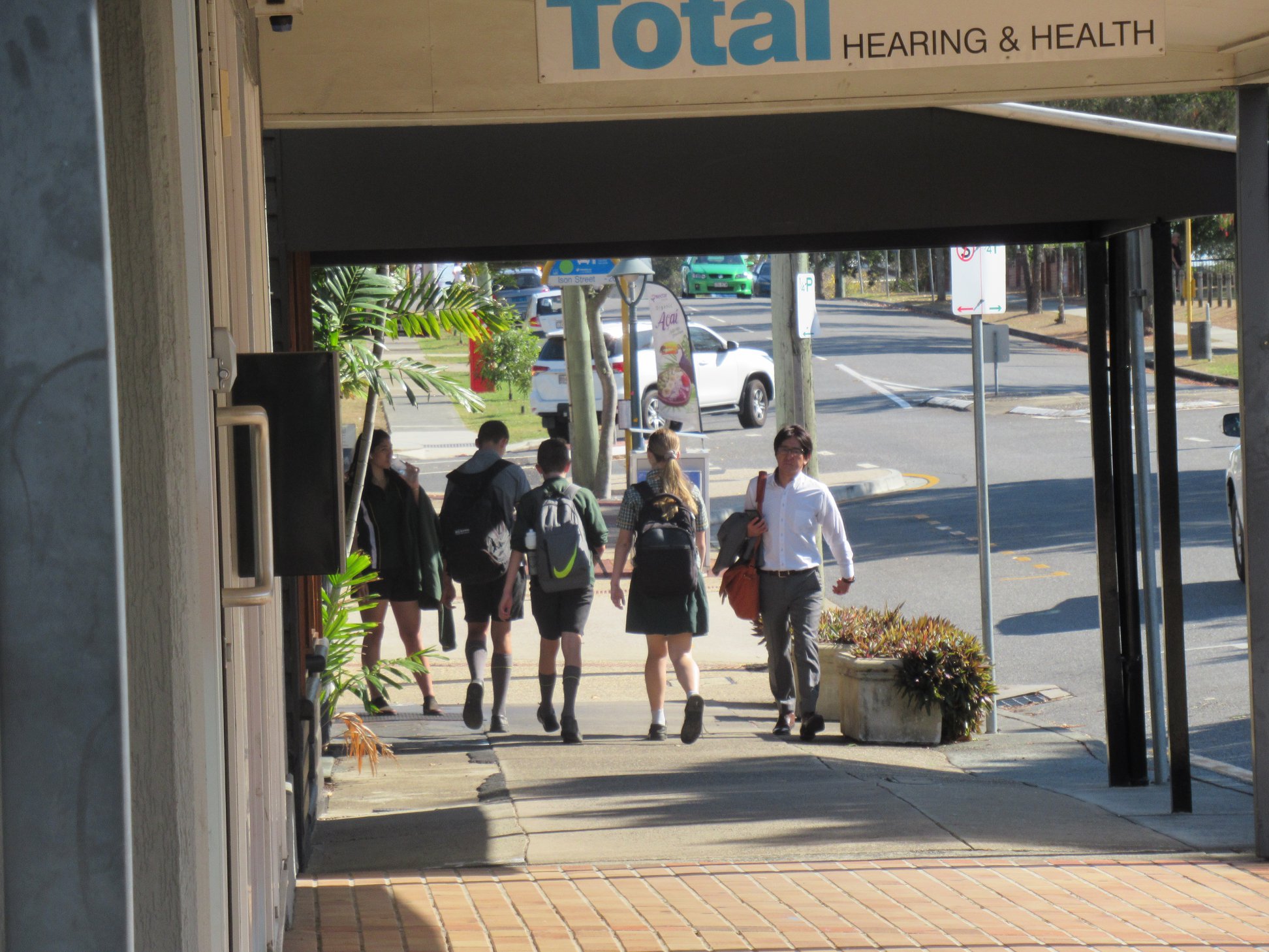
So, let’s talk about bikes. The transport sector is Australia’s second-largest polluter, so swapping car trips for trips by bike is a great way to cut our emissions. But this article in The Conversation argues that the Australian bicycle fleet is largely influenced by sport, not utility, which makes short, easy trips unnecessarily difficult. We agree – but we are also seeing far more bikes with racks, panniers, and baskets which help make cycling low-effort and, well, useful.
We asked our Facebook followers to show us their ‘utility’ set-up in the comments, and we got some great responses – from those who travel with the whole family (pets included), to those who like to keep their ride light and fast, or simple and sturdy. Check them out in this gallery:


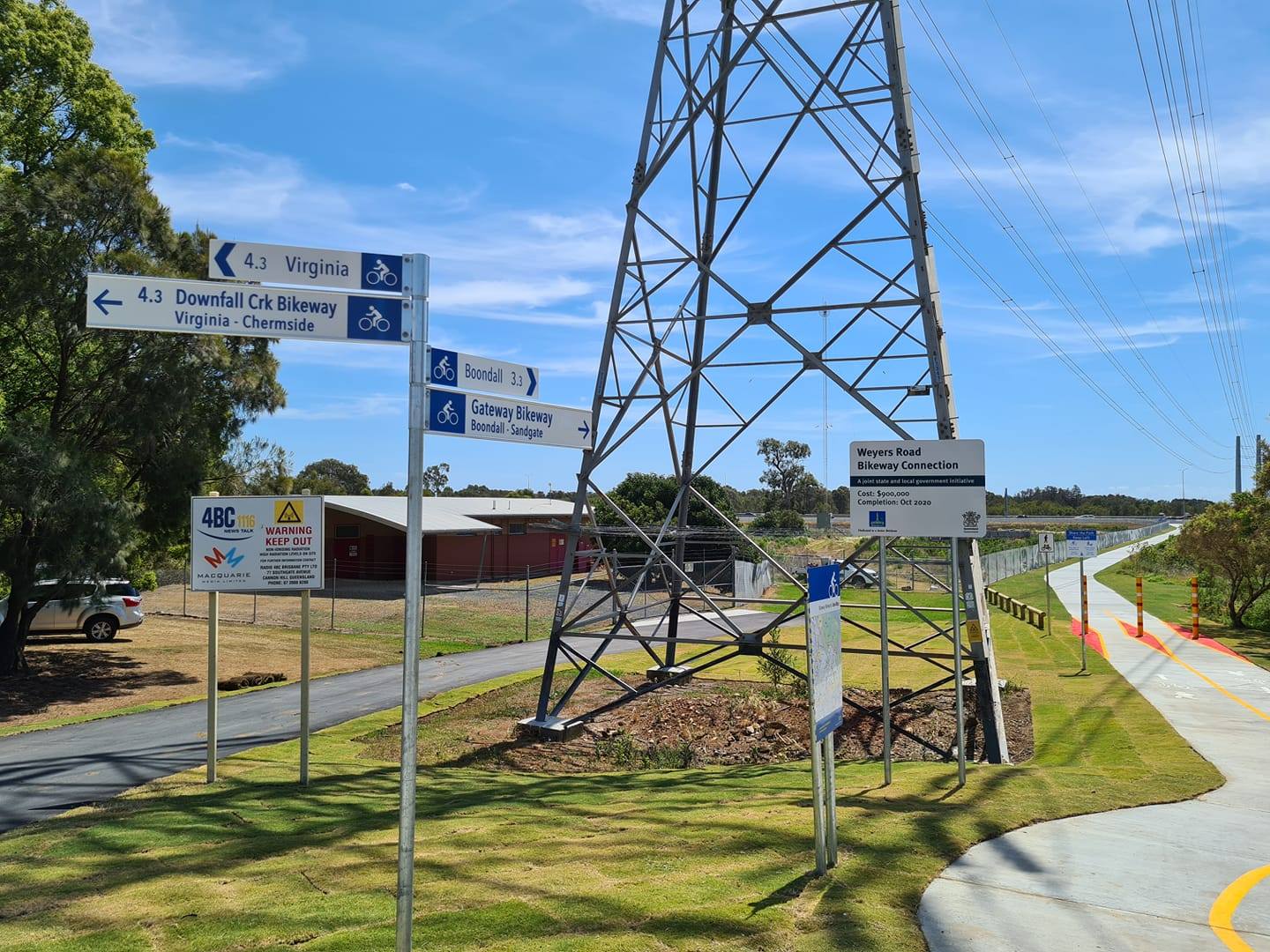
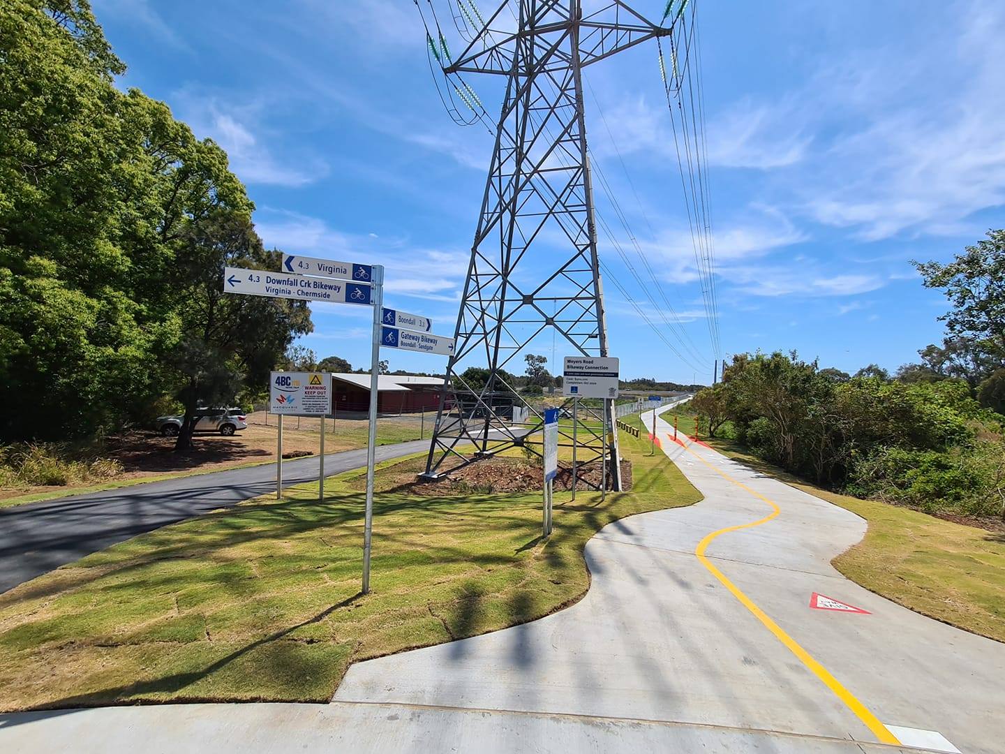
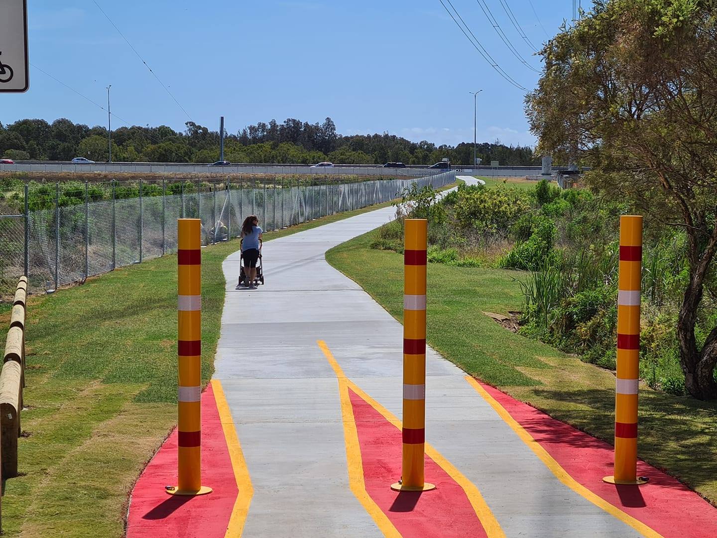
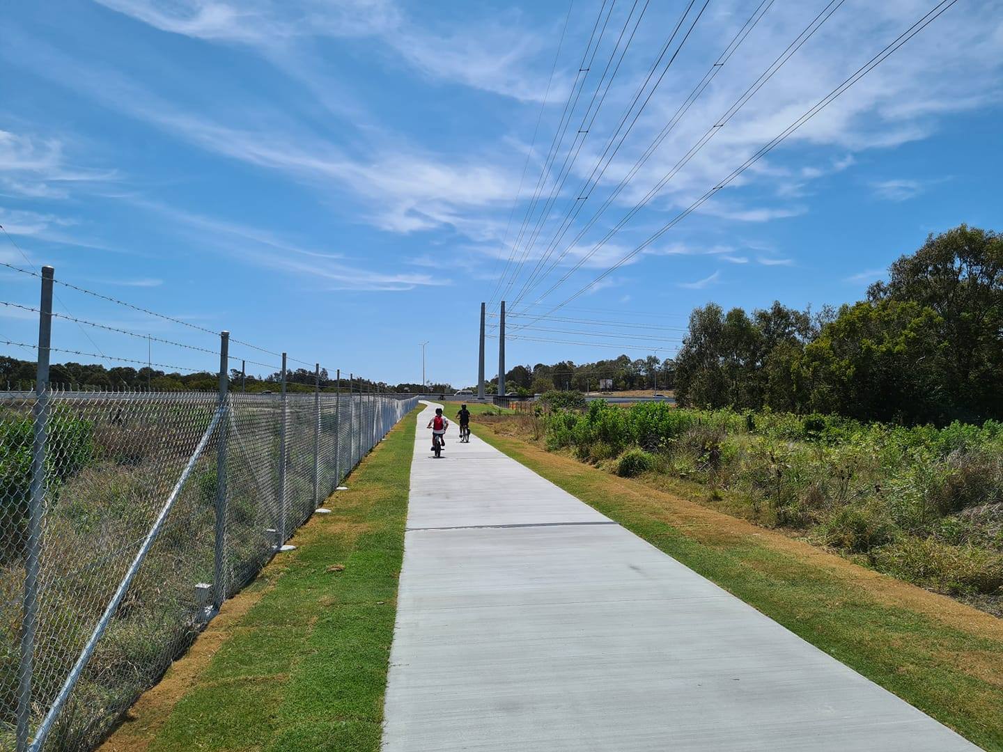
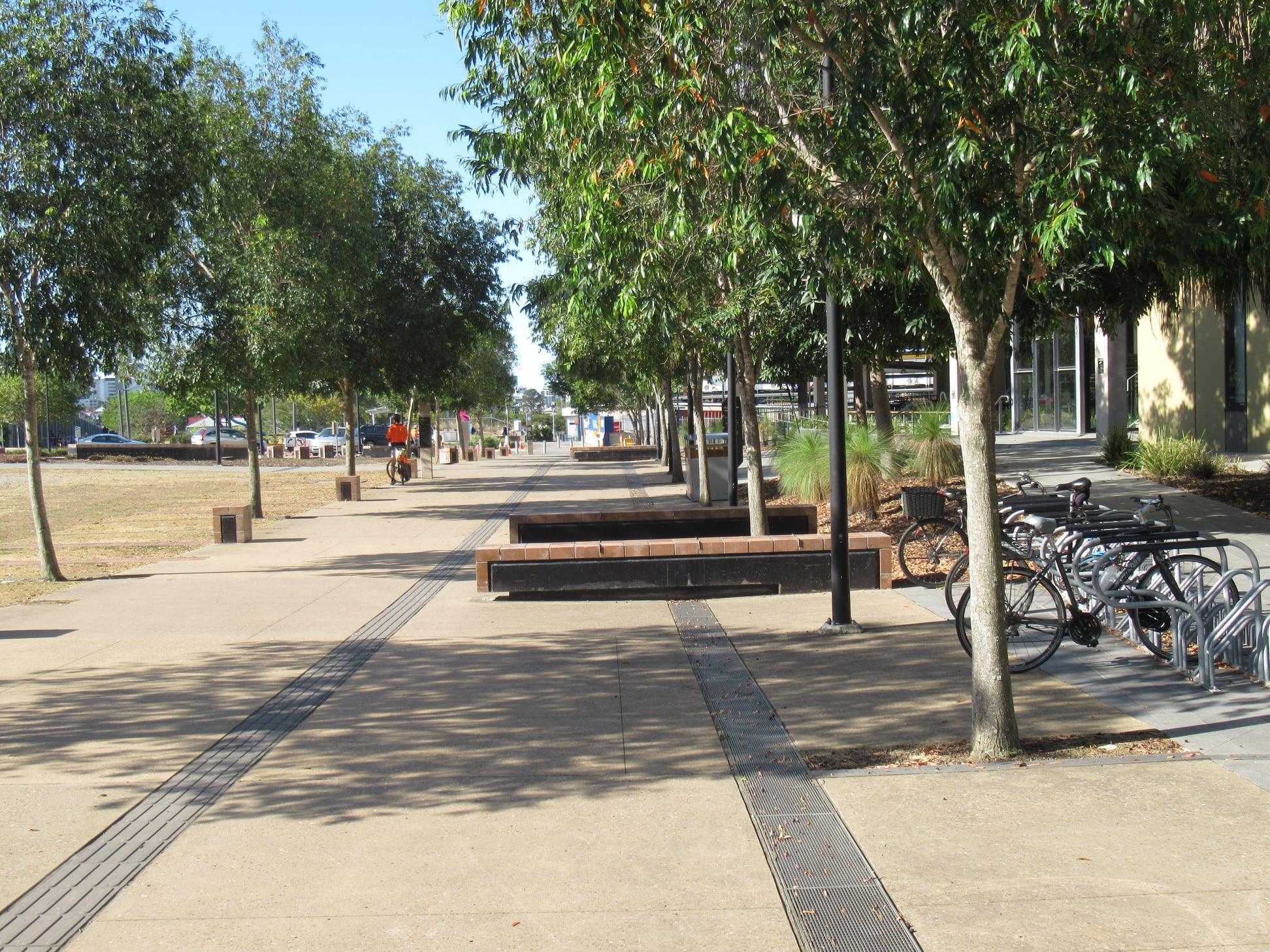
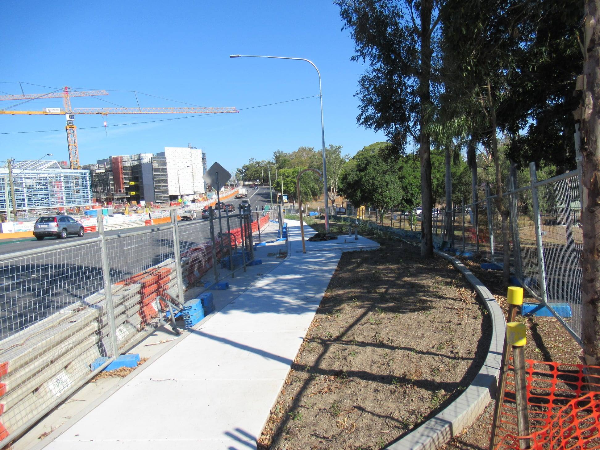
A new bikeway opens!
Brisbane’s newest bikeway connection opened on Friday, linking Weyers Rd at Nudgee to the Gateway North Bikeway. It was already busy on the weekend with people cycling, walking prams, and just wandering along for a look.

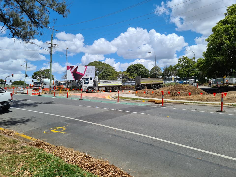
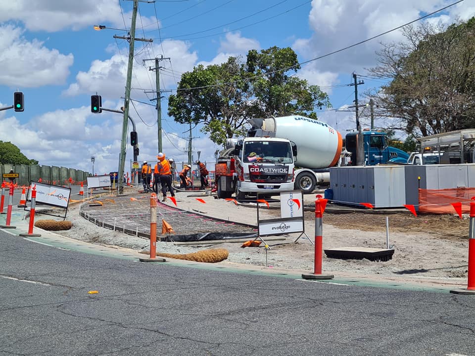
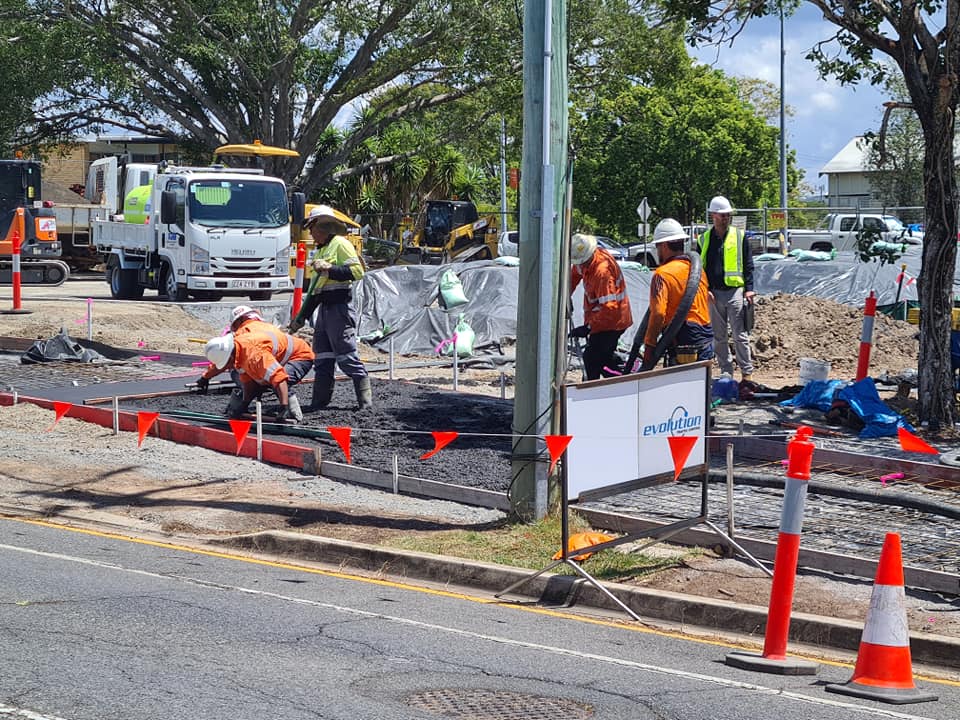
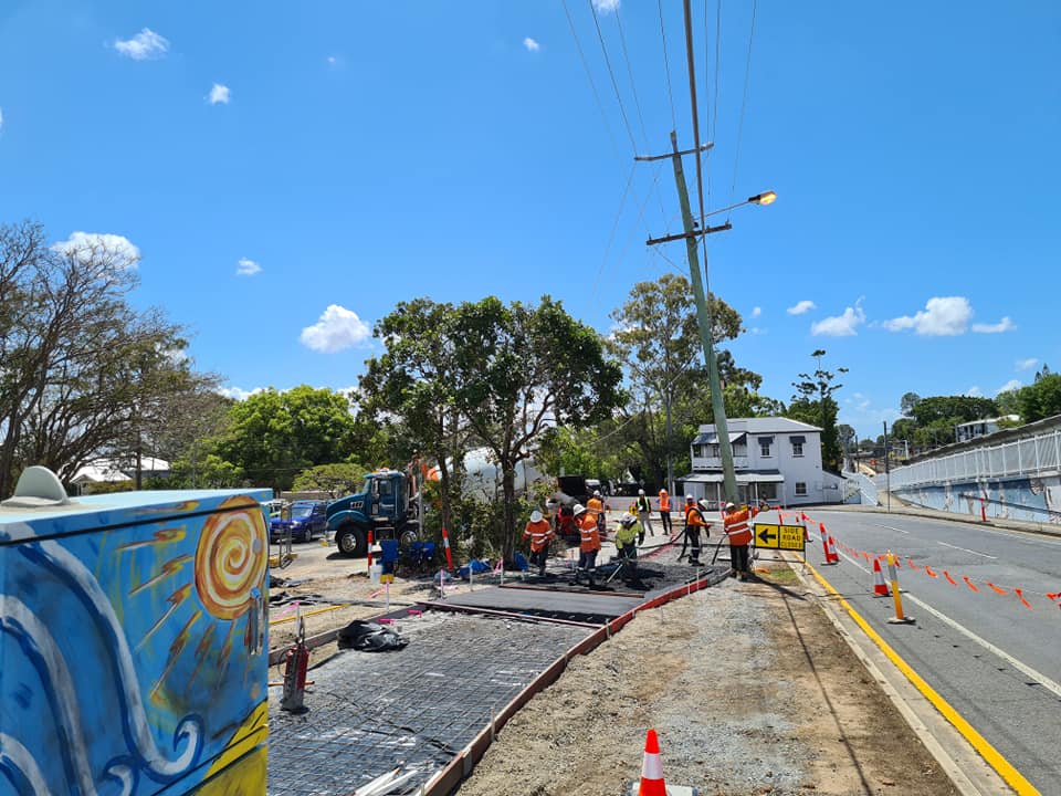
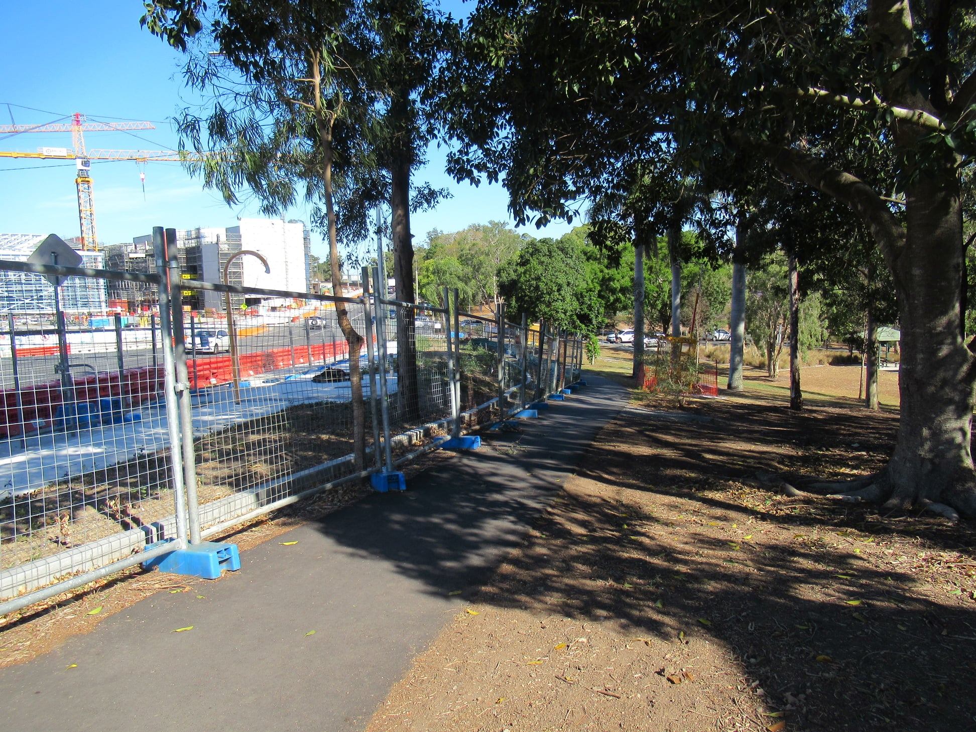
North Brisbane Bikeway update
We’re loving the updates from Brisbane North BUG on the North Brisbane Bikeway stage 4 construction, which seems to be powering along:


Bicentennial Bikeway upgrades
In case you missed it: the Department of Transport and Main Roads are planning to upgrade the last unloved section of the Bicentennial Bikeway between Kurilpa Bridge and Victoria Bridge – including the ramp to North Quay which will connect to either Ann St or Turbot St. The plan is to provide a new 3m wide walkway on the river side, and a dedicated 4m cycleway closest to the bank. The ramp up to North Quay will likely be a 3m shared path, and the project may also include stairs up to the street above.
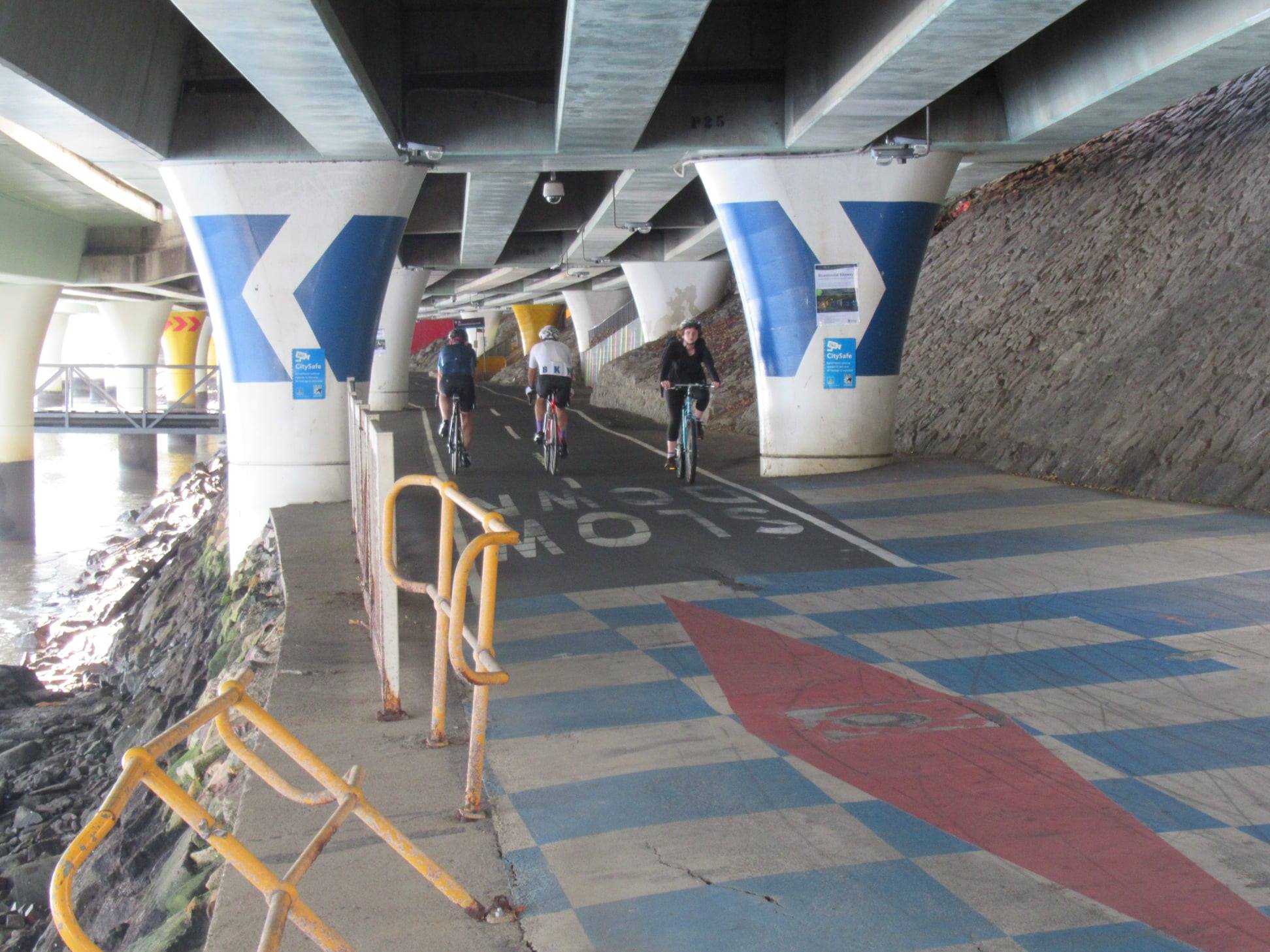
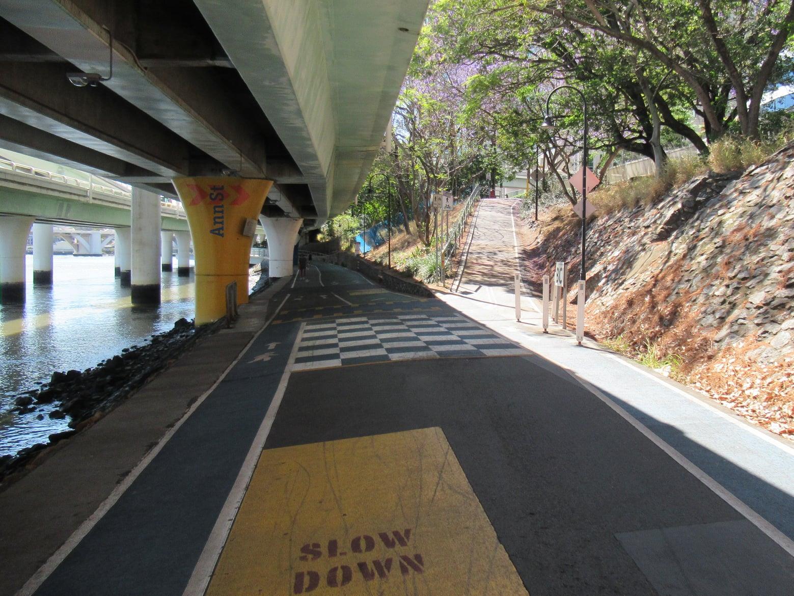

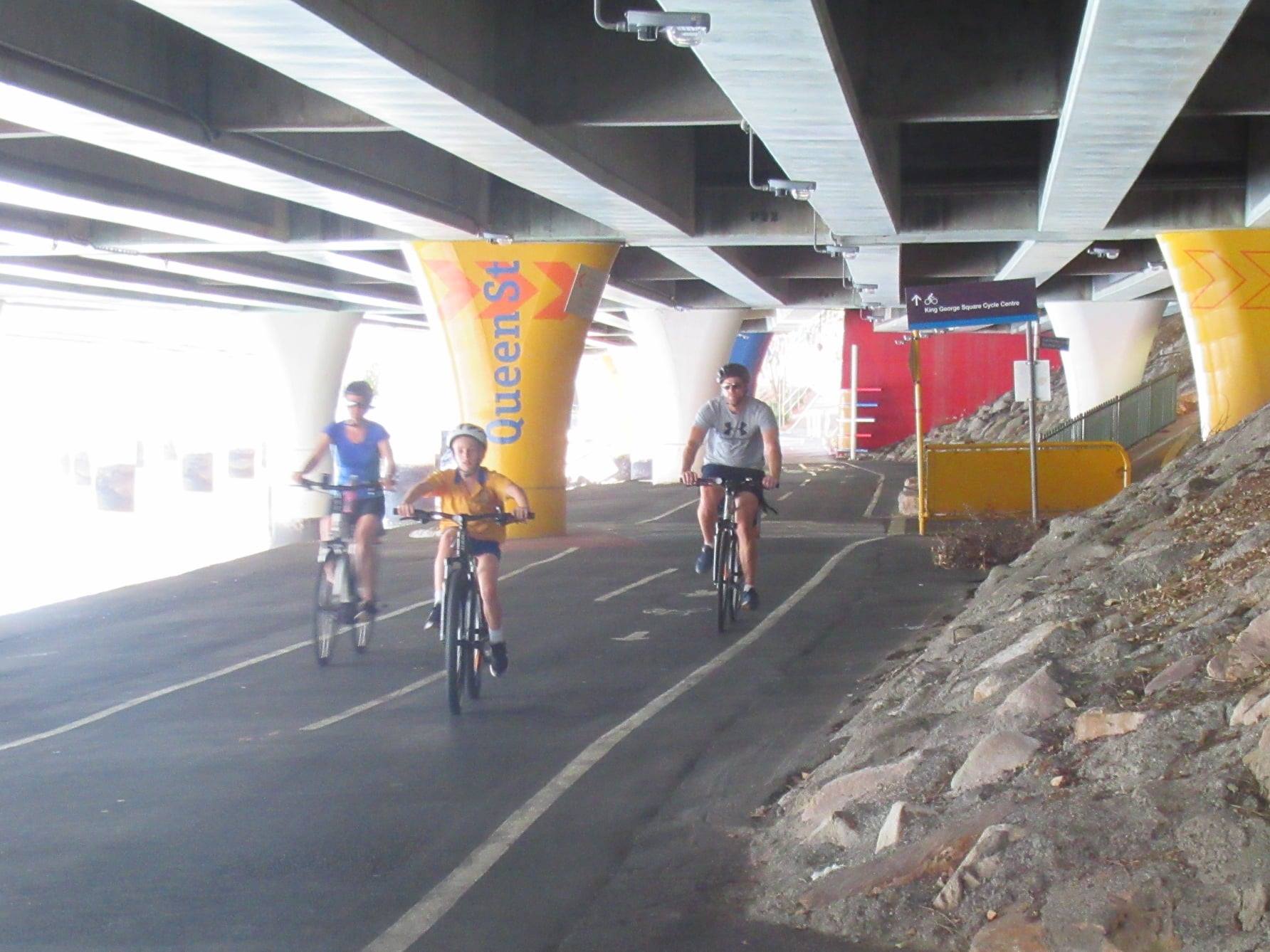
What’s not included in the scope of this project: the ramp to Victoria Bridge / Queen St (which is part of the Brisbane Metro project), and the bikeway downstream from Victoria Bridge – which is part of the Queen’s Wharf Brisbane casino and resort development. (That’s the area which is currently fenced). We nevertheless encourage people to highlight in their comments at question 15 on the survey that the pedestrian and cycle routes should continue with obvious separation through the Queens Wharf area to avoid another debacle like that at Howard Smith Wharves.
Please logon and complete the survey to show your support for this much needed upgrade, and also provide feedback about how you use the Bicentennial Bikeway (or when/why you avoid it), and what’s most important to you. It closes at 5pm, Sunday 25 October.
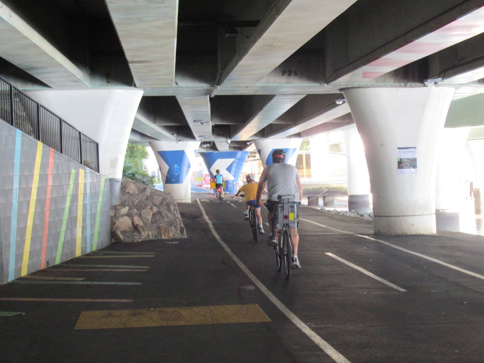
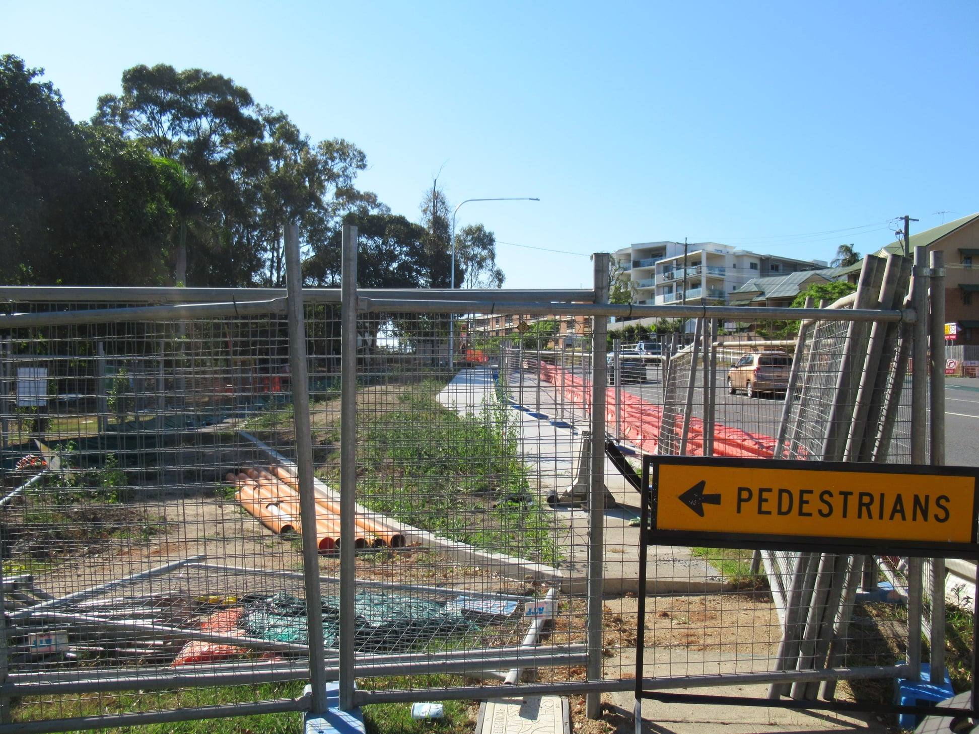
Bikeway disruptions at Toowong
Thanks to those people who alerted us to a social media post by Cr James Mackay on the weekend with information that Queensland Urban Utilities plan to close Archer St and the Bicentennial Bikeway between Sylvan Road and High St, Toowong. Cr Mackay had been informed that the work would be starting on Monday 19 October, for an indeterminate period – potentially weeks. However we’ve since received an update to say that work is not scheduled until November, and that cycling groups will be informed.
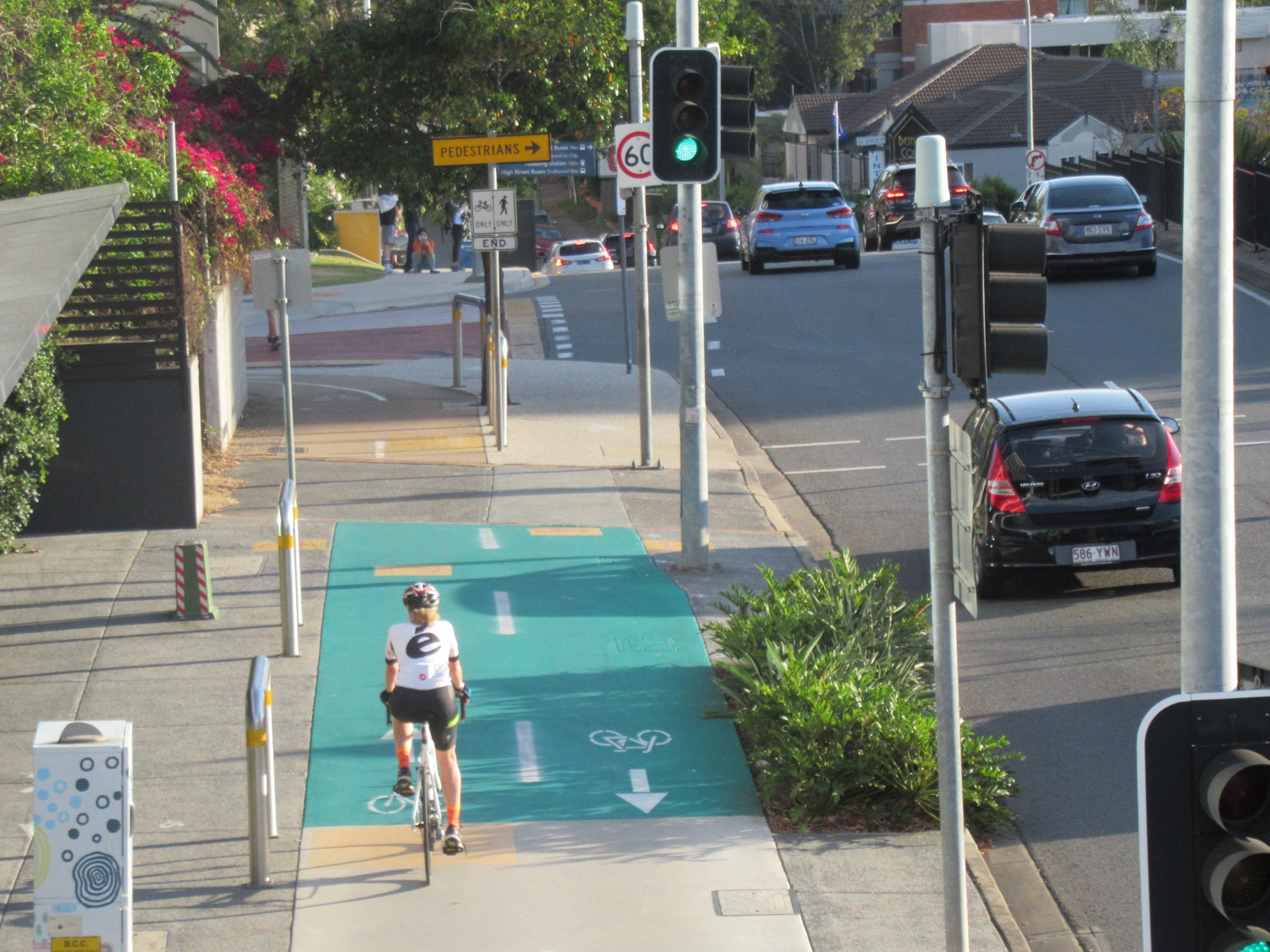
We hope that Council will not approve a path closure without a safe and accessible detour, appropriate signage, and discussion with cycling groups. There are a number of obvious problems with directing cyclists to the opposite side of Benson St / Coronation Drive:
1) The crossing at High St, Toowong does not have kerb ramps, so can’t be used by anyone who’s not able to lift their bike up and down a couple of very tall steps. That basically rules out anyone with a cargo bike, trailer, or kids tag-along, and would make it incredibly difficult for an older person with a heavy electric bike, someone with a heavy load of shopping, or anyone travelling with young children.
2) There is very limited room on the opposite footpath past the shopping centre, and there is not enough space for 2 people to pass in a number of locations on this already busy footpath. It will not cope well with an additional thousand or more users. (Estimate based on the 3,000 – 5,000 daily count further along the Bicentennial Bikeway, and this section being on the popular River Loop and connecting the CBD to UQ).


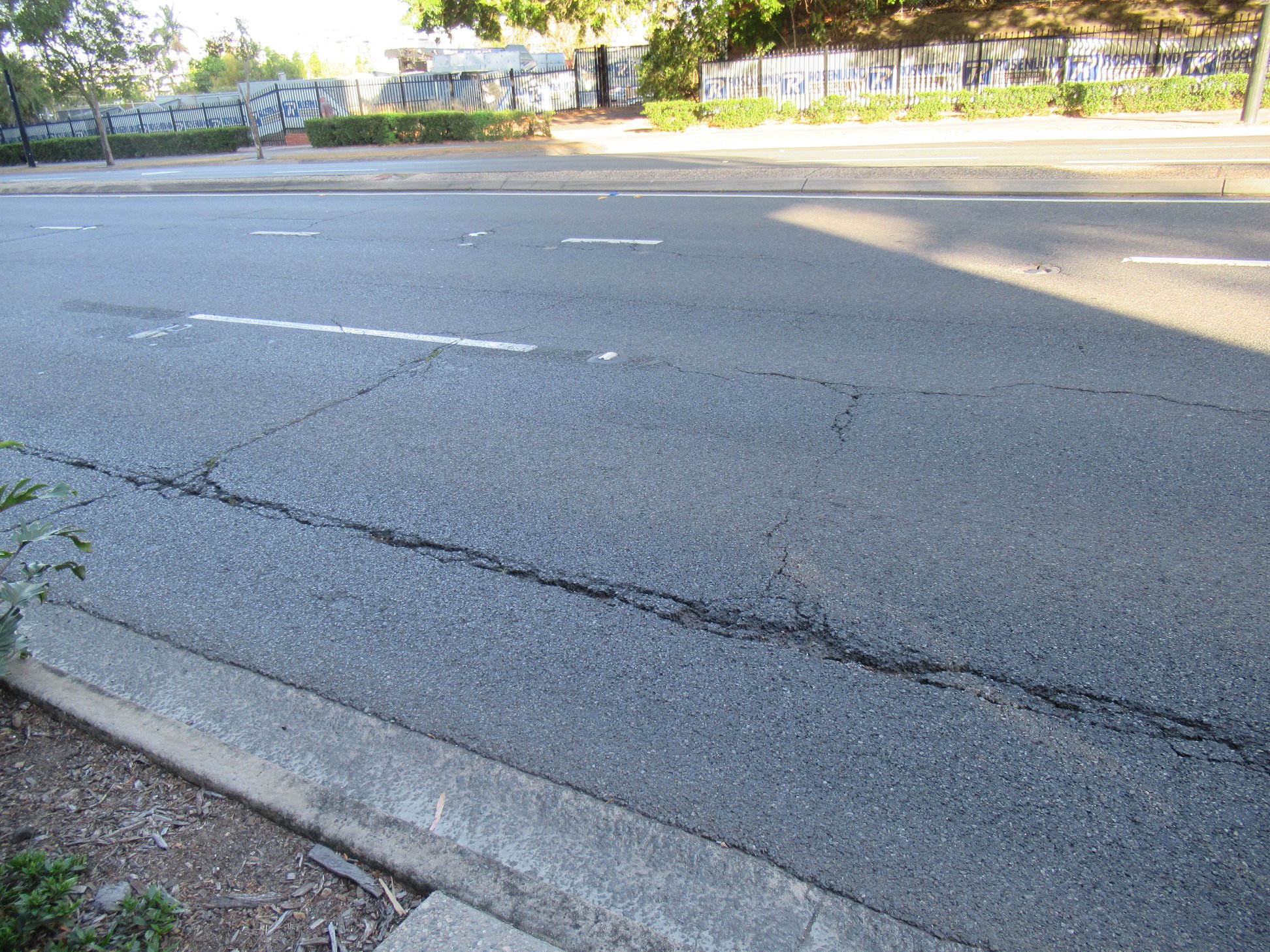
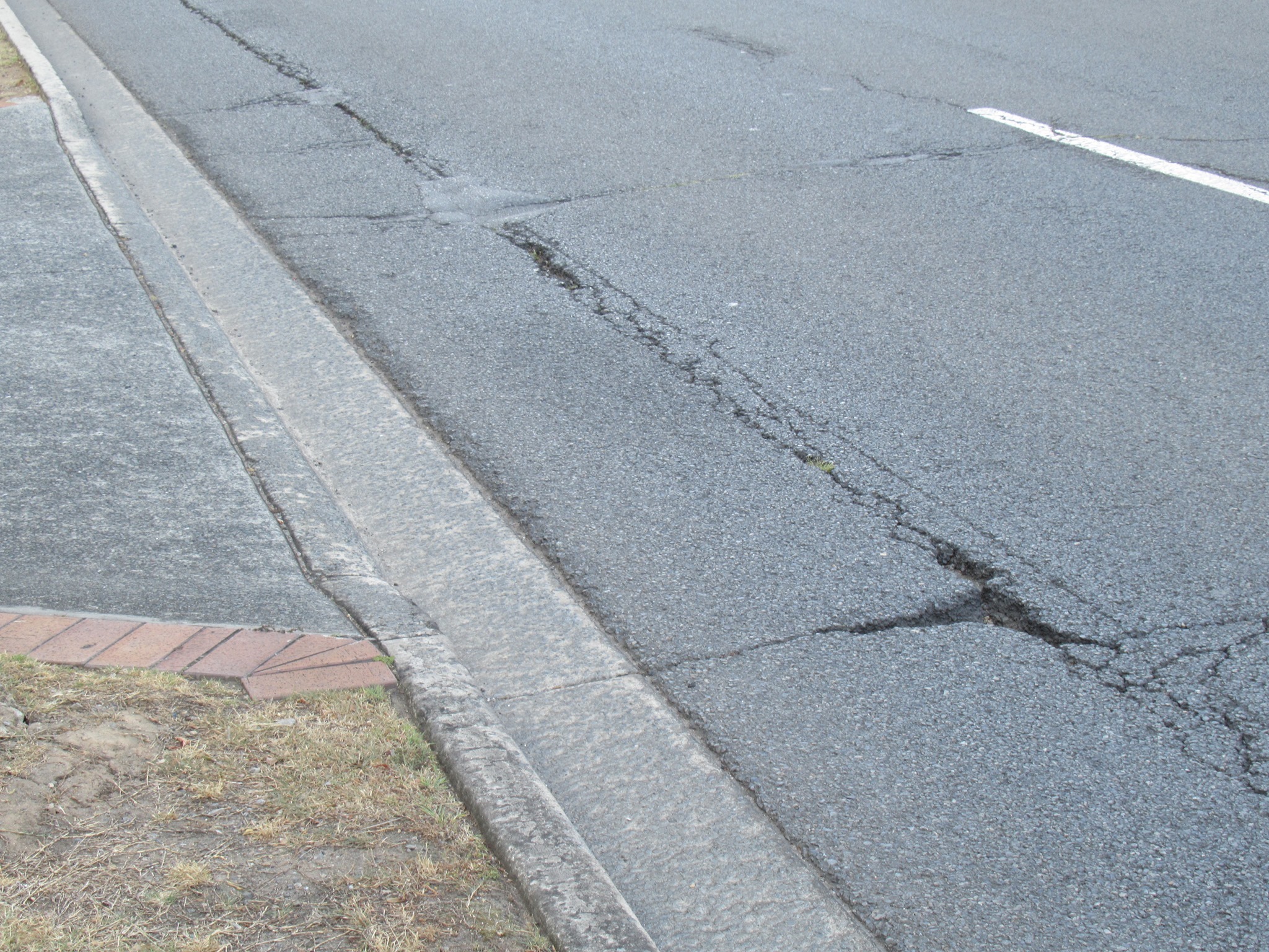
3) For people who choose to ride on the road rather than battle the inadequate footpath, there are deep longitudinal cracks and holes along Coronation Drive which could easily catch a bike wheel, and cause a “tram-track” dismount into the pavement with potentially catastrophic consequences.
We hope that a safe and accessible alternative route can be established before work begins that will disrupt this busy bikeway.
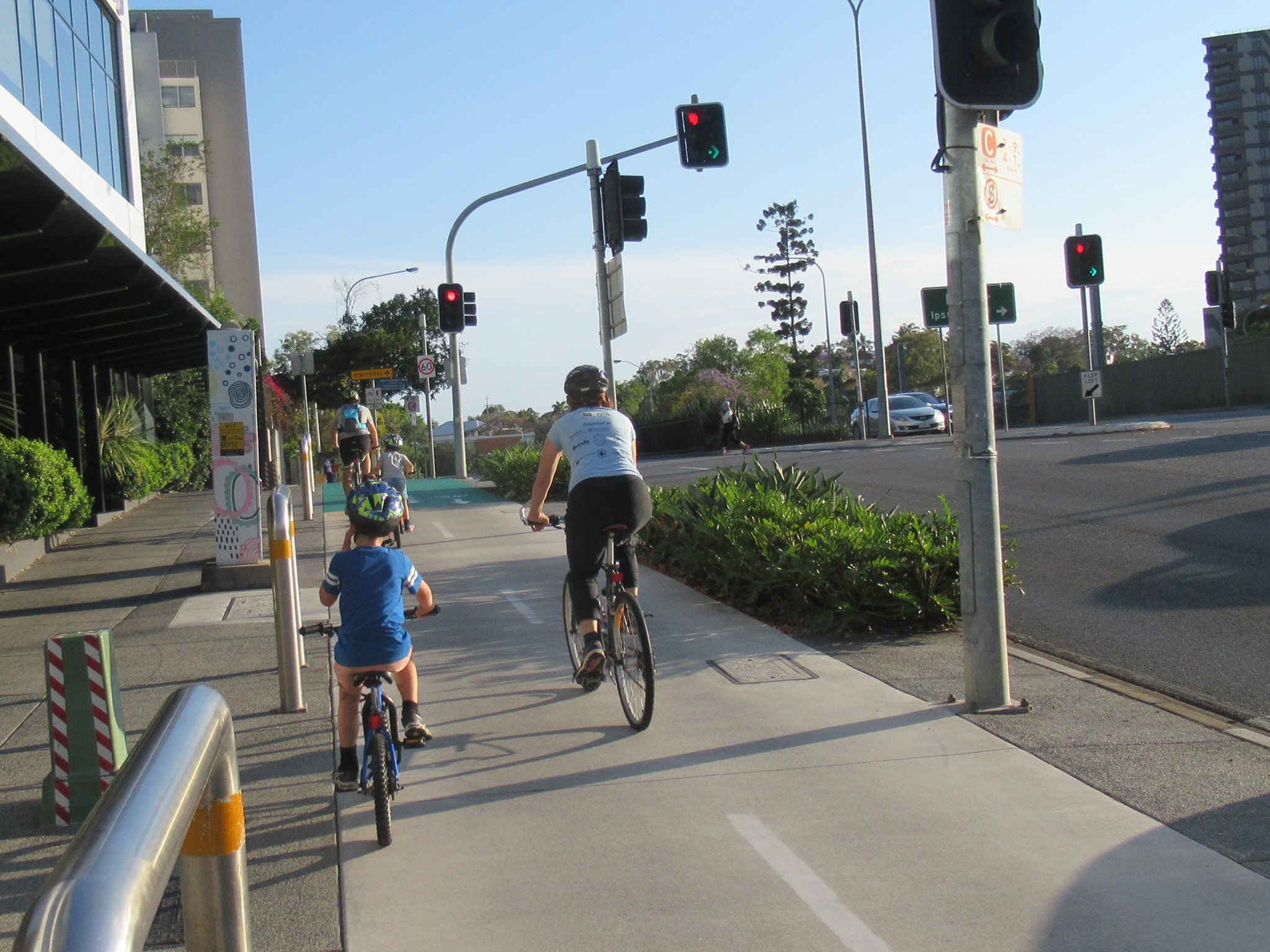
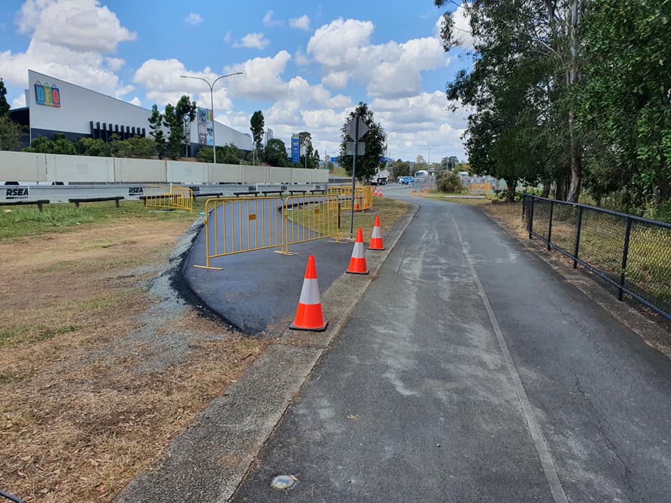
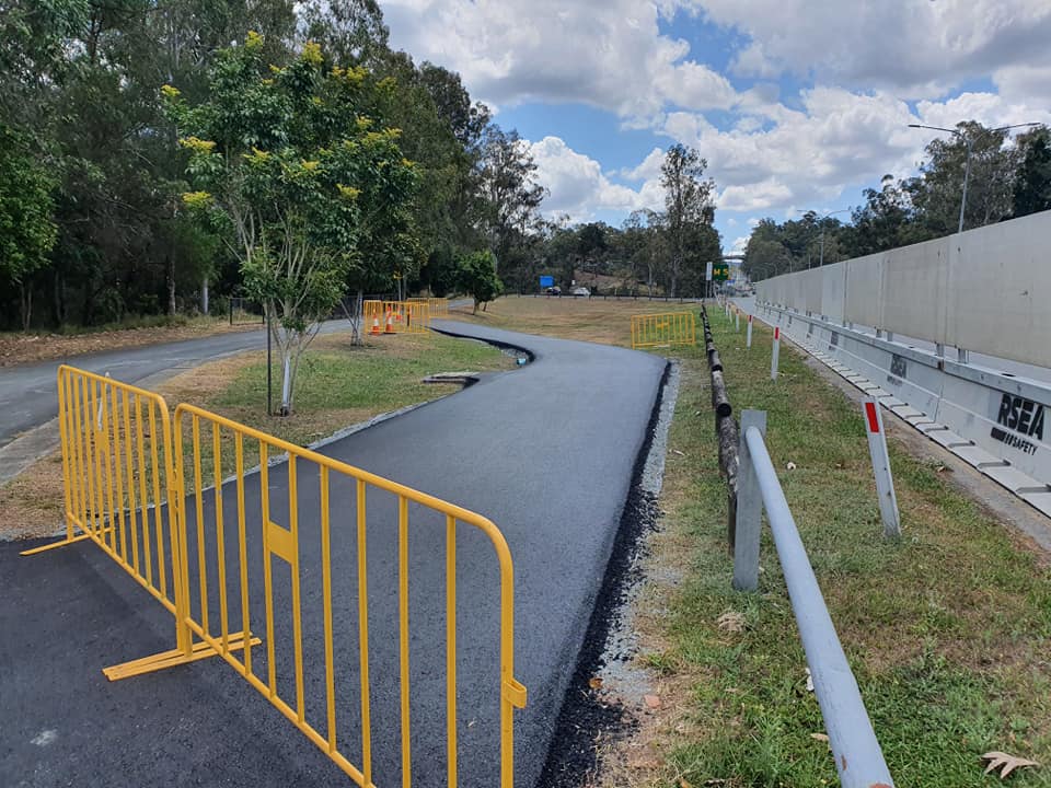
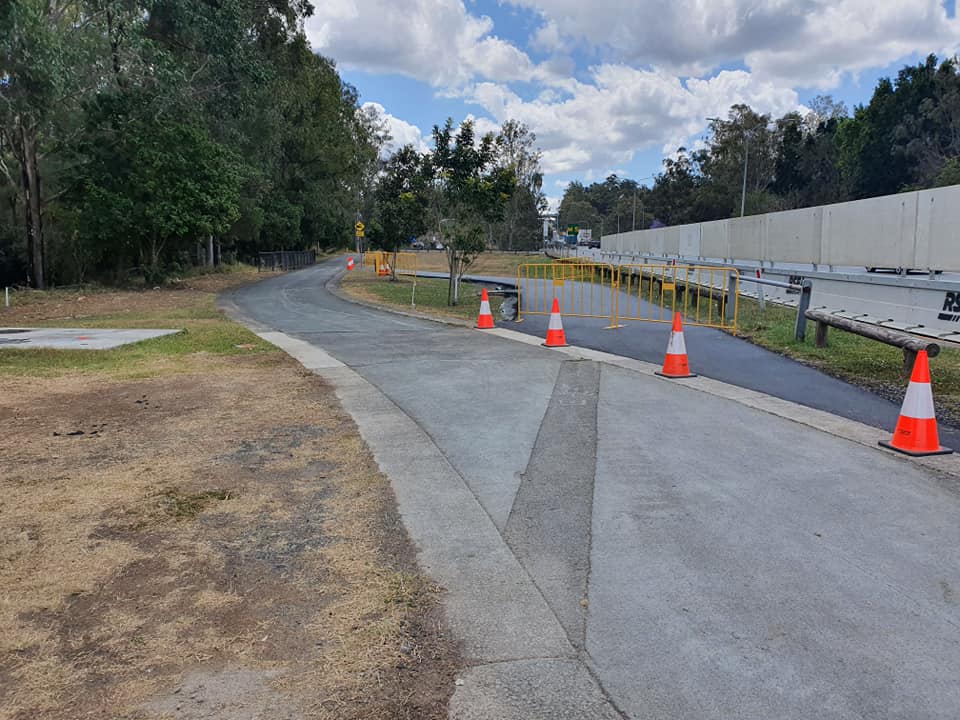
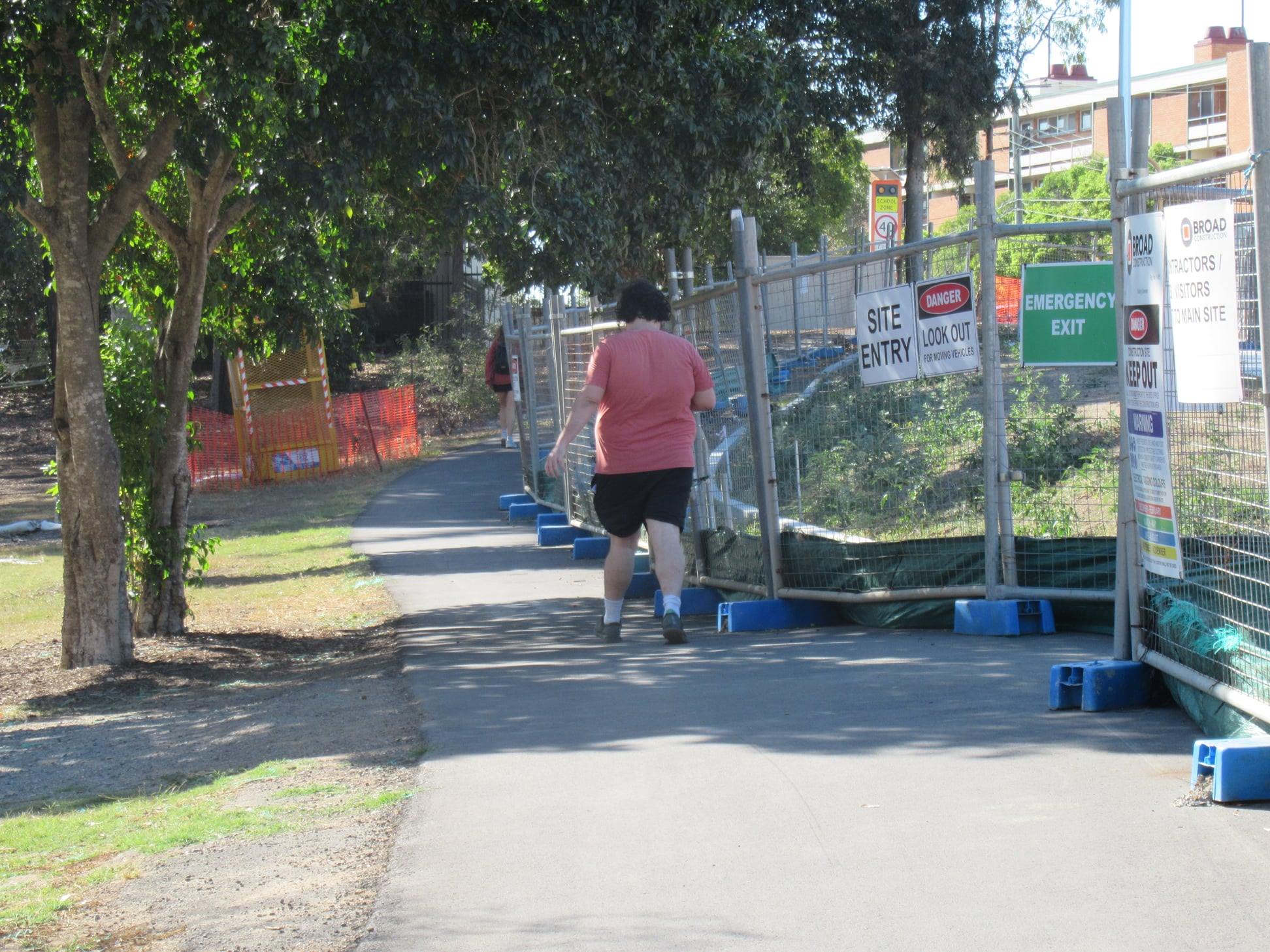
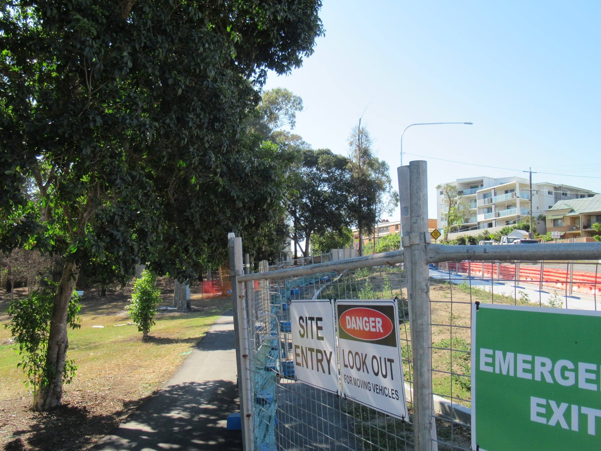
A diversion at Jindalee
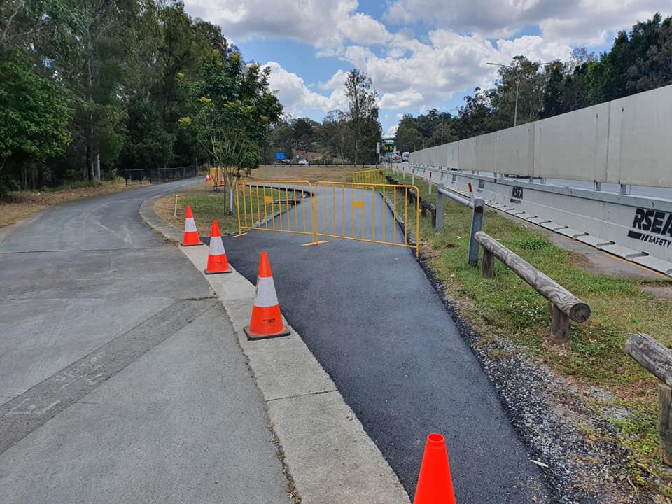
Things seem much better managed at Jindalee, where Brisbane West BUG report that the Centenary Bikeway has been diverted to enable Urban Utilities to continue work on the sewer upgrade, which will require digging up the current bikeway. The diversion path has been well made, to the same width of the main cycleway. The diversion will be in place until early next year. Project managers, Fulton Hogan, are to be thanked for their excellent communication – having briefed West BUG on site several months ago – and for the quality of the temporary path delivered.
New Farm (Car?) Park
Incredibly, while cities around the world are reclaiming parks, plazas and streets for people, Brisbane City Council seems to want to turn New Farm Park into a carpark driveway, and a through-route on the weekends. Instead of vehicles accessing the Powerhouse car park from the street entry as they do now, this proposal would see all the Powerhouse traffic drive a loop of New Farm Park. Presumably this would also require keeping the park gate open much later in the evening to allow Powerhouse traffic (and people driving to the popular dog park) to come and go at all hours.
We have an alternative vision; one in which New Farm Park is not full of cars. Instead it is for the enjoyment of locals who can walk there, and their friends who arrive by bus, bike, and ferry. In our vision, the ring road is somewhere where people can walk with their picnic blanket or go for a jog, and kids can learn to ride their bikes “on the road” but safe from traffic. (And no, we’re not advocating for some sort of cycling criterium track either! We think there should be a cycling route through the park to take pressure off the riverfront shared path, but this should not interfere with other people’s enjoyment of this important inner city green space.) You can sign up to this vision here.
Boggo Road Futures
At Dutton Park, a development application has been lodged to turn the boulevard through the Boggo Road precinct (between the Ecosciences buildings and the old Boggo Road Gaol) into a car park, through-road, and retail strip.
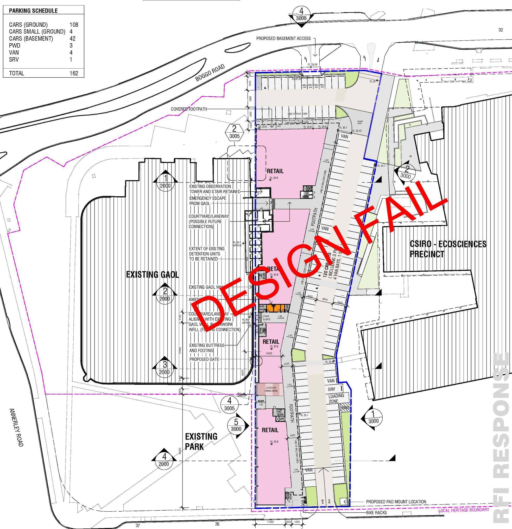
Community group Boggo Road Futures have established to highlight how inappropriate this proposal is, and to present an alternative vision for the area, with an emphasis on quality community space.


With close proximity to the Boggo Road and PA Hospital bus stations, and the Park Road and new Boggo Road train stations, the Boggo Road precinct at Dutton Park is set to become the second busiest public transport interchange in Brisbane. It’s next-door to the new Inner City South State Secondary College, the rapidly growing Dutton Park State School, and the PA Hospital and health precinct. The new walking and cycling bridge over the rail lines will connect the eastern suburbs and the V1 Veloway to the Eleanor Schonell Bridge through here, and already, the bike lanes along Annerley Rd support upwards of 800 daily cycle trips. Any business which looks to establish in this precinct with a business model that depends on people driving there and parking out the front is looking in the wrong place.
The application A005260979 has been made according to Council’s planning requirements, and is currently open for submissions.
However the Boggo Road precinct has recently been declared a Priority Development Area, which brings it directly under State Government planning control. If you live or work nearby, or travel through this area, please take the opportunity to contact the main candidates for South Brisbane (Labor’s Jackie Trad MP, Amy MacMahon from the Greens, and LNP candidate Clem Grehan) and ask for their commitment to the principles set out by Boggo Road Futures:
- Keep It Car-free
Keep the car-free pedestrian corridor between Gaol & Ecosciences for our kids to walk, ride and scooter safely to school. - Respect Gaol Site
Culturally-sensitive development around Boggo Road Gaol, acknowledging it as a site of historical trauma. - Genuine Community Consultation
For forthcoming precinct planning through State Priority Development Area process.
Delays on Gladstone Rd
Nearby, the temporary shared path along Gladstone Rd, Dutton Park near TJ Doyle Memorial Drive has been left in a fairly shabby condition for the last few months. We’re really looking forward to the upgraded intersection—with protected cycleways, and good pedestrian facilities—but we are hoping things get moving very soon.

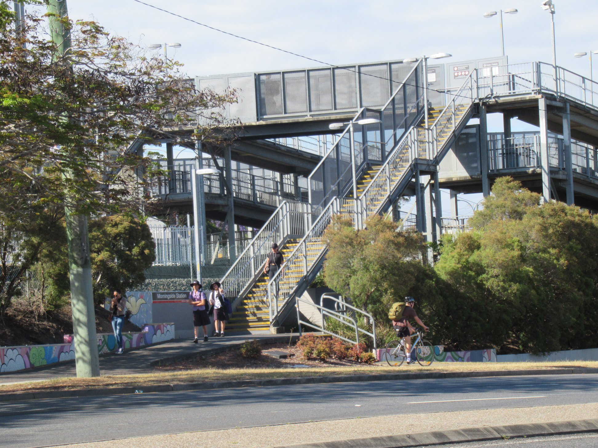
Morningside Station access
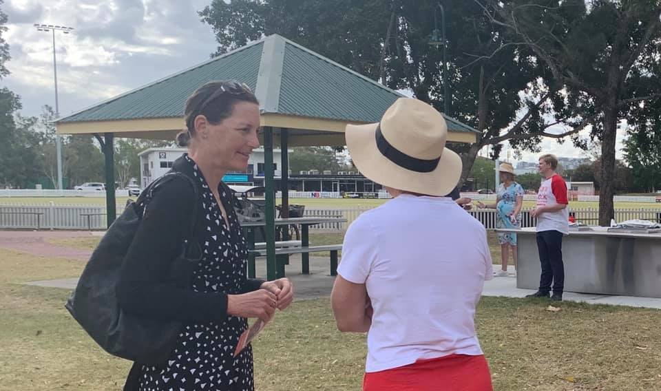
Member for Bulimba, Di Farmer MP, and Morningside Ward councillor, Cr Kara Cook know to expect a visit from the Cycling Inquisition, and Belinda from EaST BUG caught up with them at a community BBQ this week.
We’re very happy to hear that Di has secured funding for an accessibility upgrade to Morningside Station – including a secure bike parking cage (yay, finally!). But it’s not just the station itself – we had a good discussion about the difficulties in getting there, especially from the other side of Wynnum Road. The nearest signalised pedestrian crossings involve long detours, waiting through multiple cycles, and crossing dangerous high-speed slip lanes anyway. Not surprisingly, a lot of people take their chances dashing across to the centre island and waiting there for a break in traffic.

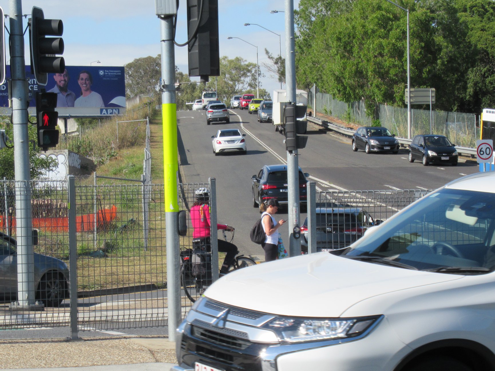
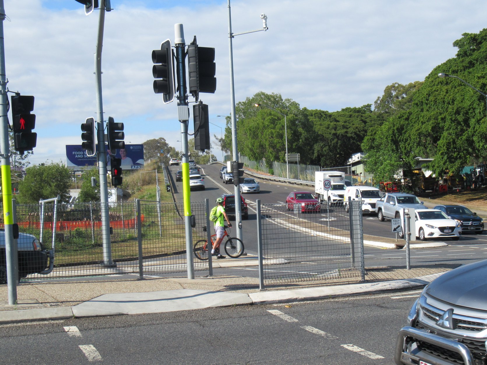
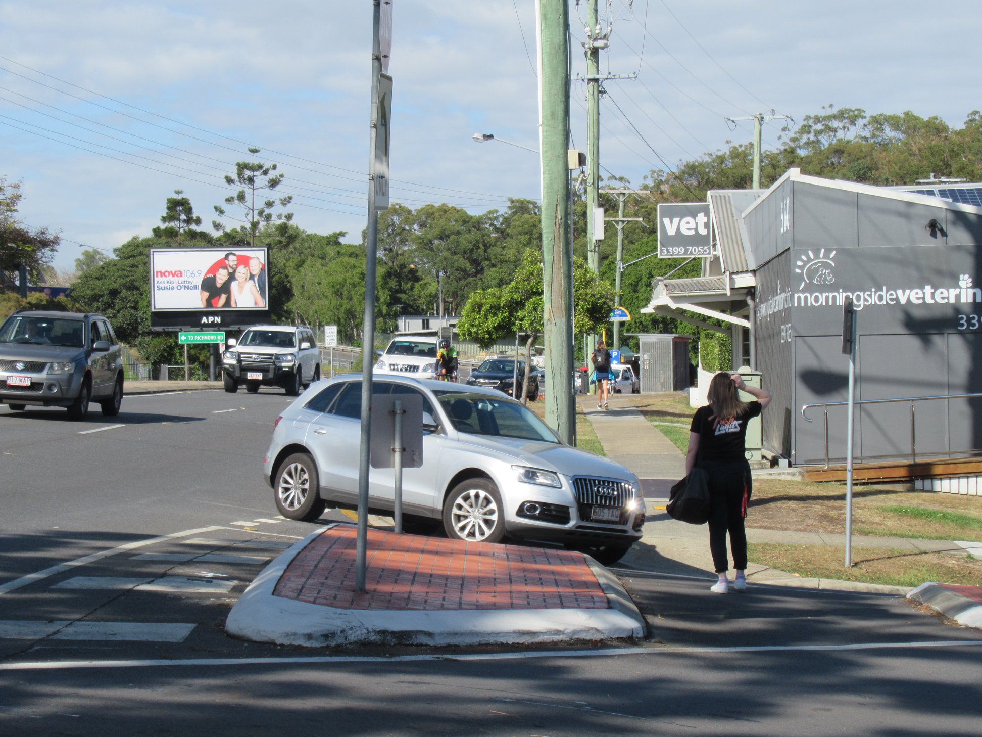
We need to do better than this to support people using public and active transport. Building each car parking space at a park and ride facility costs around $60,000 (not including land value); what if we invested the equivalent for every person who doesn’t arrive at the station by car?
Other News
Check out this pop-up protected bike lane in Melbourne – this is how easily it could be done here in Brisbane! Well done Yarra City Council.
Finally, for inspiration, here’s another happy story (with videos and before and after pictures) of a new protected cycleway in Victoria, BC, Canada. Plus, bonus points for connecting to a trail with such and awesome name: the Galloping Goose Regional Trail!
